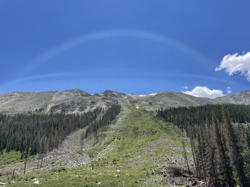
Notable trail options along the route to Tincup Pass:
(If the following links require a login, I encourage you to create a free account. It's an excellent resource.)
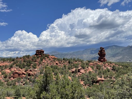
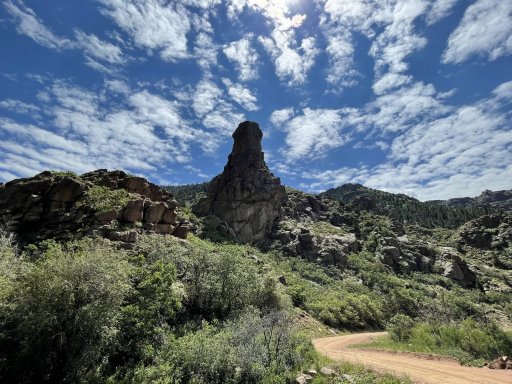
This group of 3 trails makes a fun run together and are only a couple miles off TAT. I take all newcomers on a loop that includes these each year at June Jam. It exposes you to some rocky shelf roads and switchbacks without the higher elevations of the others. There are some good camp sites and not much traffic:
Bald Mountain Gulch
Bald Mountain Loop Highest point 9500'. I recommend doing the loop counter clockwise so the switchbacks are uphill and you have better visibility.
Little Cottonwood Creek Waypoint 8 is a great campsite with amazing views (as long as the weather is good, exposed)
This run up Mt Princeton culminates at a shoulder below the summit at 12100'. Trailhead only a couple miles off TAT. Much of the trail is just undulating dirt until you get around the tree line. Then it becomes rockier and there are a few switchbacks. There is one long shelf section near the top. Passing is only possible in a few spots so watch way ahead, spread out and stay in radio communications with your group. This is a beautiful trip on a fair weather day. Not so much if the weather isn't good. There might be a lot of traffic and parking at the lower elevations on the weekends because of those hiking to the top. This wouldn't be my first choice of camping locations.
Mount Princeton Trail
Mount Antero kicks it up a notch by taking you to
13,800'. Lots of elevation and switchbacks. Trail head right off TAT. There is a spur trail to Baldwin Lake for more scenery and camping options without the elevation. There's also a side trip up Boulder Mountain which I've never done. It's discouraged for full sized vehicles.
Mount Antero
Baldwin Lake
EDIT: Mount Antero may still be blocked by snow before the summit. Trying to get an update.
And here's the same info for Tincup:
Tincup Pass 12,115'
I think all of these trails are a blast and I just hate for you guys to drive right by without at least knowing about them.
You can download the GPX files straight to Gaia. Look for that option. If you decide to do the Bald Mountain series, let me know and I'll make one just for your trip.
To help you judge, I've done all of the above except Baldwin Lake in my nearly stock full size Chevy. I do have a lot of experience, however. Let me know if you do decide to run any of them in case I have any additional info. I'm tentatively planning to be up there this week with Paul and Tim to at least run Tincup. Please let me know if I can be of any service to anyone!
Also, BE SURE TO AIR DOWN to at least about 20 psi for each of the above trails. It's not about traction as much as comfort. Don't underestimate this.


