
Enthusiast III
I have plenty of GPS devices. I just always like to have a good old paper map. Any good ones you all use?

Enthusiast III

Off-Road Ranger I
0745

Enthusiast III
Thanks, Looking at them now actually.National Geographic, Latitude 40 degrees, Purple Lizard , is what I carry.

Advocate III
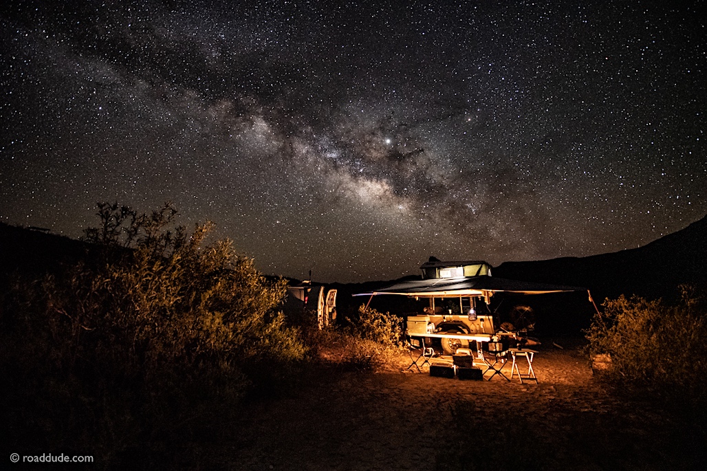
 roaddude.com

Off-Road Ranger I
0745
Hello there, are these maps formatted the same as the ring binder maps from Thomas Guide? Those old Thomas Guides for So Cal used to be my transport bibles. If so I may need to shift gears a bit when we head west again next Sept/Oct...
I love, I mean absolutely treasure, the map books from Delorme Atlas & Gazetteer (who developed the Inreach satellite communicator and is now owned by by Garmin). Serious topo maps that show logging roads, etc. and that they are large book style, with a page guide on the back, helps one zero in on the page needed. Incredibly helpful both in planning and when out adventuring.
Like @MOAK, I also really like the Nat Geo folding maps, especially the National Geo Adventure and regional maps like the Nat Geo US Southwest and the five map bundle for Utah National Parks. Great folding maps. Those that I have are water and tear resistant.
Road
.

Roaddude - On the Road In North America - ROADDUDE
Roaddude - Traveling Photographer/Writer/Artist On the Road In North America. Gear, reviews, people, places, and culture.roaddude.com

Advocate III
.Hello there, are these maps formatted the same as the ring binder maps from Thomas Guide? Those old Thomas Guides for So Cal used to be my transport bibles. If so I may need to shift gears a bit when we head west again next Sept/Oct..

 roaddude.com

Enthusiast III
19851

Off-Road Ranger I
0745
Absolutely, we have a huge collection of the free maps given out by BLM, State & National forests and state & national park services..Depending on where you are going, ranger stations usually have free maps. I have a collection of them, and bought a couple waterproof maps for areas I frequent from the ranger stations.

Traveler II

Member III
20466

Enthusiast III
20389

Traveler II
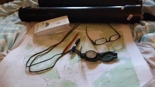
I was thinking of something similar that I've used.In addition to the Delorme, Benchmark and free maps, I like and use USGS 1 24000 Quad maps.
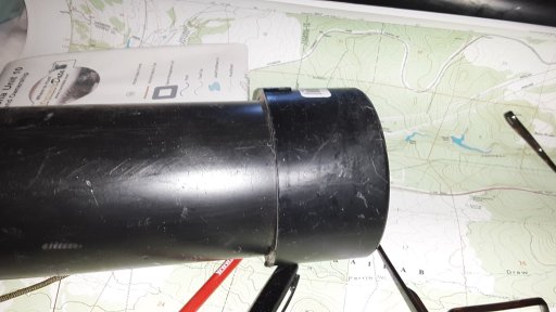
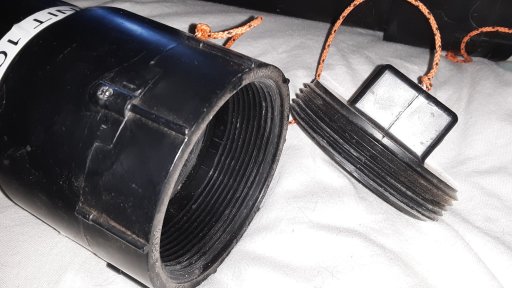
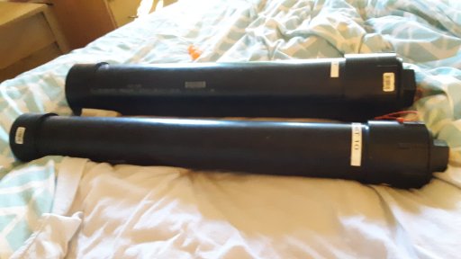
I got tired of tearing them up or crushing them and decided to get something to protect them. All the tubes and cases on line were pretty expensive so I decided to make my own. I ended up naming 12 map tubes for about $75.00 which is a hell of a deal.
I used 3" and 4" black ABS sewer pipe for the tubes. Cheap and pretty much bulletproof in the field. Depending on how many maps I have I use either the 3" or 4".
View attachment 129835
View attachment 129836
View attachment 129834
View attachment 129838

Member III
16986
Yes, the US National Forest maps for each region. I have the southern region which covers Arizona, NM, N.Texas panhandle with western finger of Ok...Check with your local US Forest service office for details. The maps are huge but show every FR, highway and trail in the national forest and the locations of all camp grounds whether facilitated or disbursed, number of camp sites at each park, distance to nearest town etc.. they also have manuals that give opening dates, length of stays, altitude and many other helpful pieces of info for overlanders or just travelers !I have plenty of GPS devices. I just always like to have a good old paper map. Any good ones you all use?

Member III
20466
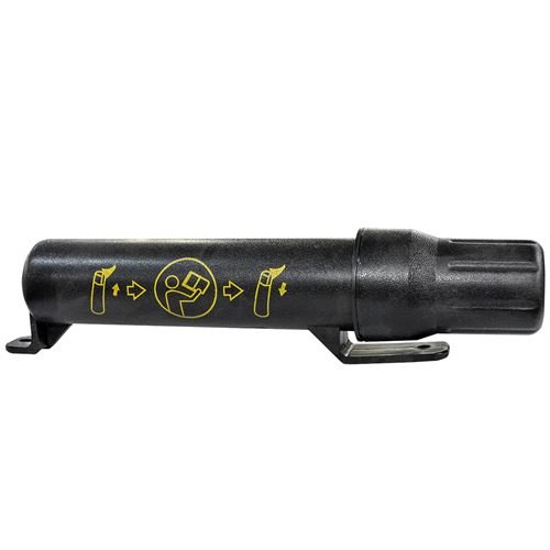
I like those, do they make bigger ones that will hold maps? They remind me of welding rod moisture proof storage cans.I was thinking of something similar that I've used.
Manual Canisters, Manual Holders, Tool Tube, Operators Manual Case
Agri Supply® carries weather-resistant canister holders for your operators manual. Can be bolted or attached with zip ties to tractors and farm machinery.www.agrisupply.com
View attachment 130015

Traveler II
I like those, do they make bigger ones that will hold maps? They remind me of welding rod moisture proof storage cans.
I tried 2" PVC for map cases but you can't get many maps in it, it's too small. I do however have a lot of other stuff I could put in them.


Advocate I

Enthusiast III
29310
Builder I
40675
