Northern Wanderings

  • HTML tutorial

CR-Venturer

Rank VI
Launch Member

Traveler III

3,372
Ardrossan, AB, Canada
First Name
Jas
Last Name
Spr
Member #

16340

Hello Overland Bound!

I wanted to share my trip from late summer of 2021 with you all. I did a 5 day trip in 2019 to some ghost towns here in Northern BC, and having been more or less prevented from doing a major trip in 2020 due to Covid and other issues, I was determined to get one done in 2021. I became a resident of Northern BC, and although this significantly reduced the required travel time, family constraints prevented me from making the trip longer than 4 days.

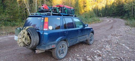
I did end up doing this trip September 1-4 of 2021, and despite some challenges, I believe it was a success. I didn't know it at the time, but this was to be Ganbaru's last big adventure, sadly.

Subsequent to this trip, I went through some huge upheaval in my life that resulted in my not posting a trip report. After some consideration, I've decided to put together a report of the expedition, despite it having been a couple of years now. Hopefully everyone enjoys it and gets some value out of it!
 
Last edited:

CR-Venturer

Rank VI
Launch Member

Traveler III

3,372
Ardrossan, AB, Canada
First Name
Jas
Last Name
Spr
Member #

16340

After some months of planning, map recce, and research, I put together a plan for a four day trip, beginning in my own "back yard" of Telkwa, BC, with a drive through The Telkwa Pass. Spanning roughly 100 kms through the stunning Telkwa Mountain Range between Telkwa and Thornhill, BC, just before Terrace, the pass is said to be an old mining road that has been officially designated a 4x4 track. It passes through some truly stunning vistas, with several fantastic camp spots along the way, both wild/dispersed spots and designated rec sites with pre-prepared camp spots, fire pits etc. My nephew accompanied me on the trip.

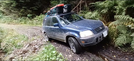
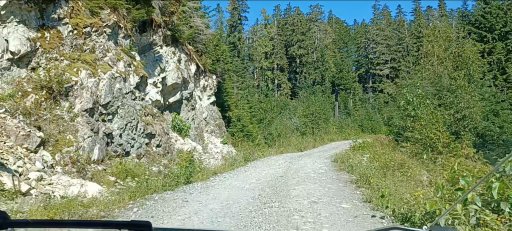
With Ganbaru loaded up, we set out into the bush, with the FSR beginning only 15 minutes from my front door. Once we hit the dirt, we stopped to air down, as I knew it would be three or four hours before the wheels hit pavement again.
20210901_070853.jpg
20210901_070652.jpg
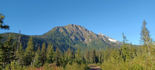
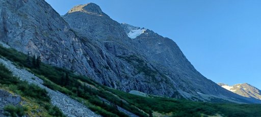
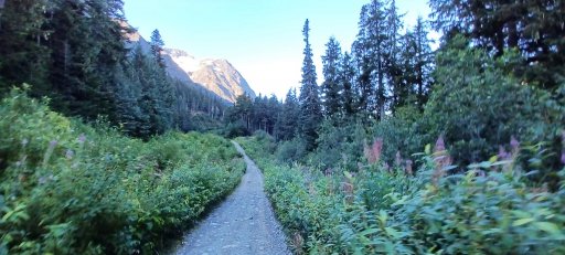
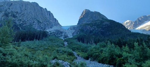
The first bit of the journey is along relatively smooth forest service roads winding through some gorgeous BC back country, with a few interesting little side detours and vistas along the way. The real trail begins with some especially beautiful views of the rocky crags of the Telkwas, peaks that loom over the pass and really bring this route to the next level.
20210901_081732.jpg
The track began with a sketchy rotted out culvert where two of the old timbers used to span the creek had completely disappeared, leaving two foot deep pits in the road with water flowing underneath. Fortunately with the extremely light weight of the CRV, it was simply a matter of careful tire placement to get past this first little obstacle. The track was lined with numerous beaver ponds at intervals along the route, and we actually saw a couple of beavers in different ponds along the way.
20210901_084739.jpg
More to follow soon!
 

El-Dracho

Ambassador, Europe
Moderator
Member
Supporter
Investor

Inventor I

13,232
Lampertheim, Germany
First Name
Bjoern
Last Name
Eldracher
Member #

20111

Ham/GMRS Callsign
DO3BE
Awesome! Looks like a wonderful trip. Looking forward to more pictures! Thanks for sharing.
 
  • Like
Reactions: CR-Venturer

CR-Venturer

Rank VI
Launch Member

Traveler III

3,372
Ardrossan, AB, Canada
First Name
Jas
Last Name
Spr
Member #

16340

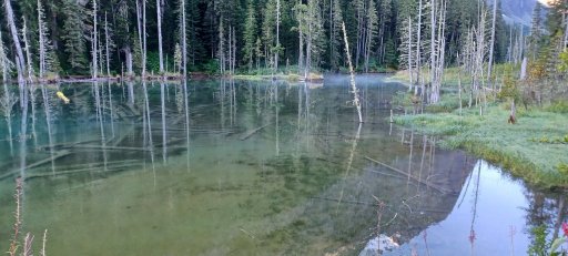
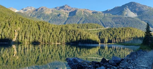
The track winds through some severe ups and downs with very steep grades, past the aforementioned rec sites, and finally arrives at the east end of Top Lake, and one of the most majestic spots one could ever hope to see.
20210901_085339.jpg
20210901_085511.jpg
20210901_085718.jpg
20210901_090020.jpg
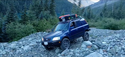
This would make a spectacular spot to camp, and would offer a ton in the way of rock climbing, hiking, perhaps fishing in the lake etc. but the pass was not our planned camp for the night, so we pressed on along the shelf road that skirts the south side of the lake. Road really is an overly generous term for this narrow, rocky, overgrown track, but the CR-V handled it like a champ. The narrow track width and tight maneuvering really helped along this bit.

20210901_091538.jpg

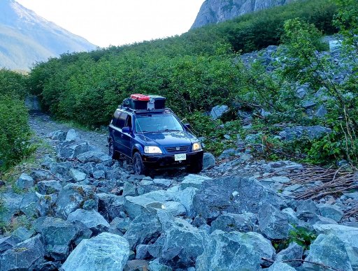
We had to cross over three major debris fields where huge landslides had covered the road in rocks. I think they had smoothed out a little from various 4x4's driving over them since they occurred, but they were still interesting obstacles and I actually got a wheel lift crossing one of them. We met a guy in a 4Runner coming the opposite way at one point, and he was floored that the CR-V came through all it had so far.
wheel lift.jpg
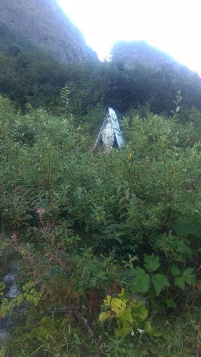
Right at the end of the biggest rock slide was a little shrine with a statute of the Virgin Mary, presumably intended to watch over travelers.
IMG_20210901_093822355.jpg
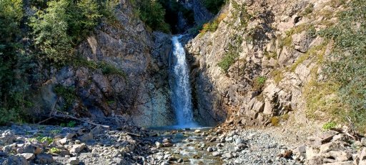
After this section, the most difficult section of the trail was a spot where a creek had basically just taken over the road, resulting in a washed out, bouldery bit. It took a bit of careful driving, but nothing too scary. The views didn't let up, however, and we were treated to many more breathtaking vistas and a gorgeous waterfall as we made our way toward Thornhill.
20210901_094052.jpg
20210901_094916.jpg
telkwapasswaterfall.jpg
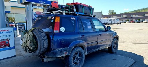
We finally emerged from the woods near Thornhill and made our way to the nearest gas station to top up, dirty, but none the worse for wear.
thornhillgas.jpg
This was around lunch time, and marked the beginning of the second leg of our journey.

More to come!
 

CR-Venturer

Rank VI
Launch Member

Traveler III

3,372
Ardrossan, AB, Canada
First Name
Jas
Last Name
Spr
Member #

16340

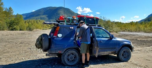
We made a slight backtrack to a cool sand flat area just off the highway on the shores of the mighty and storied Skeena River, a waterway that has been the lifeblood of the region for well over a hundred years. This was a quick lunch of wraps and fruit, as we had to set off on the next leg of the trip, the long and winding FSR that would bring us to Dorreen, BC, a ghost town on the opposite side of the Skeena which originally had no roads at all leading to it, and was only accessible by train. The FSR that would take us there was a much more recent addition.
Lunchbreak.jpg.
Road to Dorreen.jpg
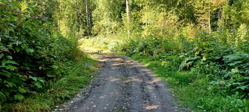
It was roughly an hour up the FSR until we came to Dorreen and the first real disappointment of the trip. There was a gate blocking the road into the town (I was to find out later there is a different way in, via a 4x4 track further down), but since there was no sign saying no trepassing, we parked up the vehicle and made the walk down into the town.
Entering Dorreen.jpg
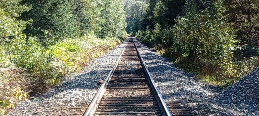
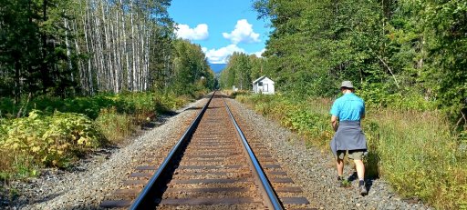
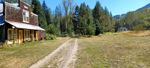
The winding dirt road led us down into a fascinating little town which we were to quickly discovered was really not so much a ghost town as a resort town - most if not all of the houses and buildings of the town are privately owned and used as vacation homes, hence the gate. Once, Dorreen could only be accessed by train, but the rails don't get nearly so much use as they once did, and when CN does roll by, it doesn't stop anymore.
Dorreenrails.jpg
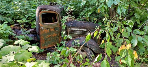
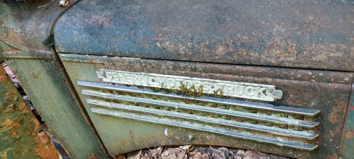
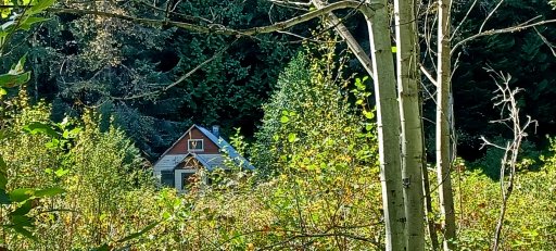
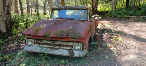
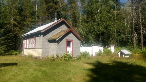
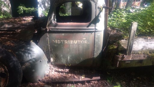
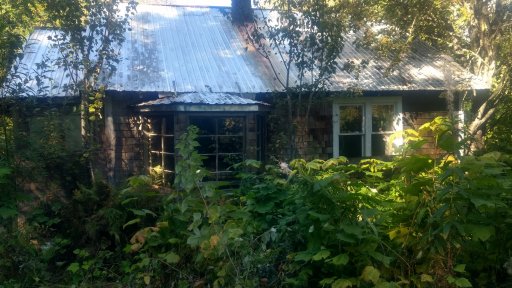
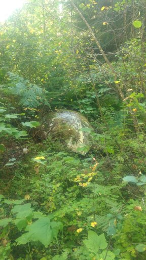
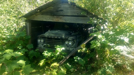
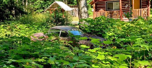
Along the road in, we saw some interesting sights, including an old wrecked GM being eaten by the bush, and a house set back against the ridge, peeking over the scrub poplars at us.
oldGM.jpg
OldGMclose.jpg
DorreenPeekaboo.jpg
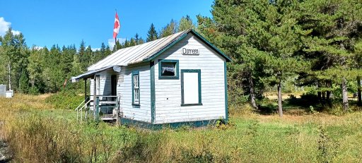
Finally we entered the town proper and caught our first glimpse of the Dorreen Train station.

Dorreenwalkingin.jpg
It doesn't look like much anymore, but it's still lovingly kept up by the locals. On Google maps, this is still shown as a CN rail station.
Dorreenstation.jpg
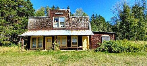
Nearby, just behind the station in this shot in fact, is the Dorreen General Store, now a private residence, with the town welcoming committee forever waving from the upstairs window. They weren't open, unfortunately.
Dorreenstore.jpg

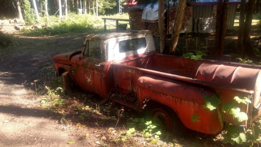
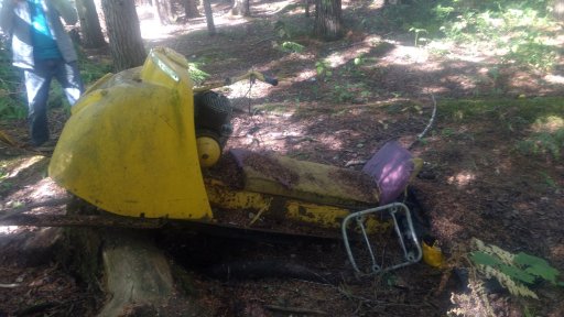
A little ways down the road, we met a family standing outside their old house. We stopped for a chat and explained what we were doing, that we were hoping to camp in the town and check it out etc. They were very friendly and told us that the house was bought by the lady's father in the 1950's, and had been handed down through the family, and now her adult kids, one of which was with her, were enjoying it. We chatted a bit more about the town, its history and where we ought to go to check out more houses. We had hoped that they might offer to open the gate for us to bring the vehicle down, but they didn't and I didn't want to ask and put them in an awkward spot in case such a thing was frowned upon. We spent some time checking it out and saw plenty of amazing buildings and tons of old cars, and even an abandoned old boat sticking out of the bushes.
20210901_150141.jpg
IMG_20210901_143422598_HDR.jpg
IMG_20210901_145931067.jpg
IMG_20210901_150128907_HDR.jpg
IMG_20210901_152252254_HDR.jpg
IMG_20210901_145559926.jpg
This boat actually startled me at first as I walked past, it was so well blended into the bushes that I didn't immediately realize what it was.
IMG_20210901_151148157_HDR.jpg
IMG_20210901_145942885.jpg
dorreenbushcar.jpg
dorreenheadingout.jpg
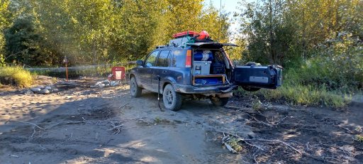
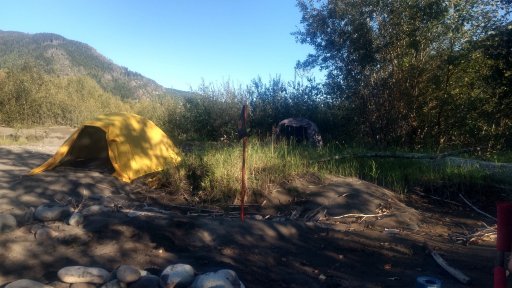
This field on the right across from the store was where we hoped to camp, but alas, it was not to be. Instead, I decided to head back to the sand flats, reasoning we could find a pretty awesome spot there, and I was right. Without too much poking around, we found an awesome camp spot.
beachcamp2.jpg
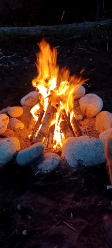
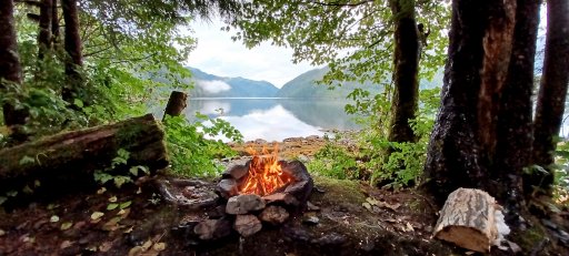
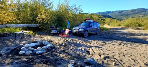
We set up camp, built a fire ring, and cooked up a feast of hotdogs. It was a great finish to an awesome first day.
beachcamp1.jpg
IMG_20210901_180613476_HDR.jpg
skeenacampfire.jpg
Had an awesome sleep that night with the rushing of the mighty Skeena to lull us to dreamland.
 
Last edited:

CR-Venturer

Rank VI
Launch Member

Traveler III

3,372
Ardrossan, AB, Canada
First Name
Jas
Last Name
Spr
Member #

16340

Day 2 would prove to be the most challenging day of the expedition, and one fraught with disappointments and frustrations, but which, nevertheless, still proved memorable and enjoyable despite the setbacks involved.

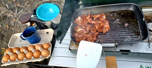
We awoke to a somewhat drizzly, overcast day, which remained thus despite some valiant effort on the part of the sun to make an appearance. We began with a hearty breakfast of bacon, eggs and of course, coffee.breakfast.jpg

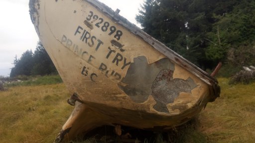
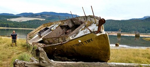
Our first move of the day was to drive south into Kitimat to check out the wreck of the "First Try," a concrete hulled vessel out of Prince Rupert which I believe was likely a sailing ship of some sort, probably used in fishing. Someone better versed in the finer details of ships could comment on this. I always found the name of the ship ironic and amusing, given how it ended up - got it up the beach on the first try, apparently!
firsttry.jpg
IMG_20210902_155140118_HDR.jpg
I have a book entitled Shipwrecks of British Columbia Vol 2. I checked it to see if I could find out more about the history of the First Try, but alas it wasn't in there. Perhaps in volume 1? Subsequent internet searches likewise turned up nothing. Before this trip I had not had a chance to see the wreck up close, and I was surprised to find that the hull was made of concrete. This suggests to me the reason why it was never salvaged - too dang heavy!

We also made an attempt to reach a much larger shipwreck further down the coast from here, what I found out later was the MS Redonda. Unfortunately, the weather turned somewhat nastier and there was no easy way to reach it on foot along the beach, the way being blocked by a deep creek spanned by sketchy, slippery logs. Our attempts to reach it in the vehicle were likewise thwarted by several of the possible tracks to it being blocked by industry installed gates, despite driving down a couple of extremely narrow, rutted, muddy tracks which were rather fun at least. It really would have been nice to visit the Redonda as well, but unfortunately we had to move on.

We returned to the vehicle to find a hitchhiker had decided to hop aboard.
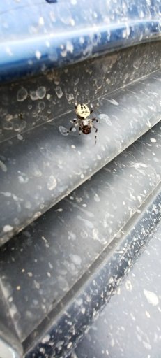
hitchhiker.jpg
We felt he might not survive the adventure, so we set him free on a nearby rock.

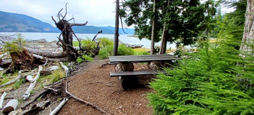
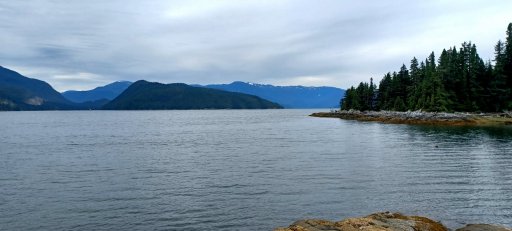
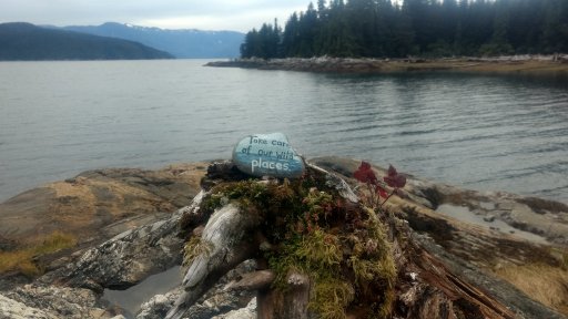
Our next stop was on the far side of the harbour from Minette Bay, to North Cove Trail. After a brief pit stop at Hospital Beach Park, which offers a nice view of the port, but not much else due to the beach being closed, we moved on along the winding road toward North Cove. The trail winds its way down through towering cedar forest toward a small natural cove south of the port. The views are magnificent, and the coastal rainforest strongly reminded me of North Vancouver, BC where I grew up, so the hike took on a nostalgic feel.
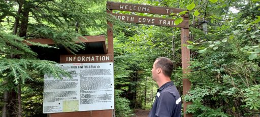
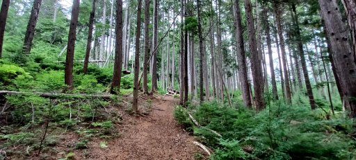
North cove start.jpg

north cove forest 2.jpg

North Cove table and boot.jpg

North Cove toward kildala arm.jpg
North cove wild places.jpg
Lunch consisted of meat and cheese wraps while seated on a rock overlooking the peaceful cove. From here, we could just see the mouth of Kildala Arm, which would be our next target, visible in the right hand side of the second to last of the picture series above. This leg of the journey, unfortunately, was to prove the most disappointing and frustrating of the trip, and one which still bothers me to this day.

We set out, driving back around the harbour toward the native village south of Minette Bay. An inconspicuous road out of the back of Haisla Village leads up into the mountains toward our goal. We had some fun navigating the overgrown, narrow, decomissioned FSR into the deep bush. It looked as if nobody had come along this way in many a long year, and we were soon to find out why.
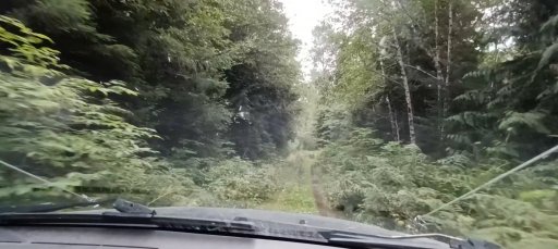
kitimatbushtrack2.jpg
kitimatbushtrack.jpg
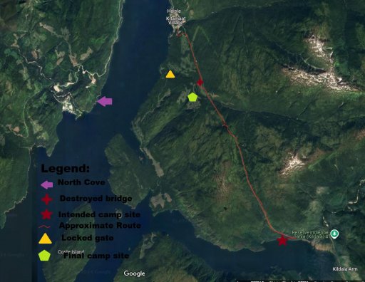
I had done map recce of this area on several sites including ArcGis, ZoomEarth (now defunct, unfortunately) and google maps, and all of them showed the road continuing all the way to the coast. Ironically, only Overland Bound's map accurately showed that the bridge over the creek several kms in was obliterated, but sadly I did not check OB's map in close detail until after the trip. We found ourselves at the end of the road where a huge concrete footing for the bridge that once stood there dropped off into the rushing creek below.

Never one to give up easily, I parked and got out, and after hunting around for a bit, found a little side track that seemed to have been created to bypass the bridge, leading down to the water. I walked down this track slowly and carefully, examining the terrain with a very tenuous "maybe" in my mind as to the possibility of driving it in the CR-V. Upon reaching the bottom, I found the water wasn't too terribly deep, and with some rock shifting we might reasonably have a chance of driving across it, despite some rather large boulders that would have to be avoided, but when I looked across the creek to the far side, my heart sank.

The "exit" from this bypass was a huge, slick, mossy, almost vertical rock face probably 10 to 15 feet high, leading up into a gap in the trees. Tantalizingly, almost as if to taunt me, I felt certain I saw faint tire tracks in the grass at the top of this near-cliff, as if someone had indeed driven it in some kind of vehicle.

I stood there for quite a while considering what to do. Was it possible to get across? Yes, I decided, it was, although it was very risky, a move made even riskier by the fact we were solo. I had a winch, and I reasoned that I could almost certainly get to the base of the rock and make a winch assisted drive to the top, but that was where the real problem began - suppose we did manage to get to the top...what would we find further down the road? Could there be an even more impassable obstacle further down that would stop us cold? And even if we made it to Kildala arm, the ultimate question remained - how on earth would we safely come back down this slick rock? The attempt could take a few hours even if everything went smoothly, and the results could spell disaster if anything went pear shaped. All things considered, I decide to turn around rather than risk it. It was a tough call, but in the end, I still believe it was the wisest.

We turned around and headed back the way we came to hunt up another camp spot.
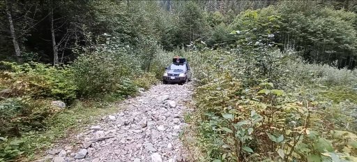
bridgeout.jpg
We drove back to near the start of the track and took a different fork than the first one, hoping to make our way to a ridge overlooking the bay. We spent some time wandering around the maze like network of forestry tracks that weave their way through this mountainous forest, including a couple somewhat sketchy ones.
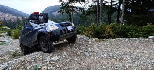
kitimatsidetrack.jpg
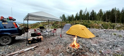
It was then that we ran into our second frustration, a locked gate blocking us from accessing the area we wanted to camp in. We hunted for a bypass, but alas there was no reasonable way around, as the gate was right at the start of a bridge over a deep ravine with a creek at the bottom. We shifted to plan C and hunted around the tracks we could access, finally arriving at an okay camp spot that had a decent view at the end of a forestry track that was covered with debris from the logging that had happened there. By this time the weather had turned rainy, so we ended up nicknaming our camp spot "Water Logged." Nevertheless, we built a roaring fire and had Irish Stew for dinner to start out what was to be a fairly pleasant evening all things considered.
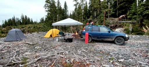
waterlogged2.jpg

waterlogged fire.jpg
The following map shows the area, with the approximate route of the decomissioned FSR, the point where the bridge was out, the locked gate, and our eventual camp spot. To this day, I still wish to somehow, some day, whether on foot or by vehicle, camp on the shores of Kildala Arm, having successfully navigated this old road.
kildala map.jpg

Just before bed, we heard what I figured was a bear roaring or bellowing or possibly a moose. It was then that I was reminded I had forgotten to bring my 12 gauge shotgun. I was comforted by the thought that I had been extremely careful about smells, however, and had left the LED lantern lit on the table over night.

More to follow!
 
Last edited:

CR-Venturer

Rank VI
Launch Member

Traveler III

3,372
Ardrossan, AB, Canada
First Name
Jas
Last Name
Spr
Member #

16340

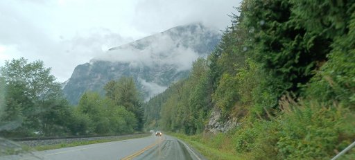
The weather continued to be overcast with occasional drizzles when we awoke the next morning. After a good breakfast and some coffee, we packed up camp and headed off back the way we came. Our next target of the expedition was a ghost town on the Skeena River named Port Essington. My map recce had revealed a perfect little spot to pull over under a highway overpass and launch the boat. The Skeena highway from Terrace to Prince Rupert is among the most beautiful drives anywhere in BC, and a relatively easy one compared to the many treacherous highways in the province, and we greatly enjoyed the drive.
20210903_113629.jpg
launch spot.jpg
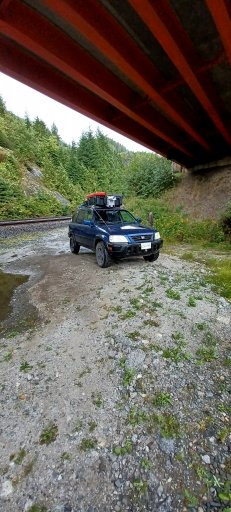
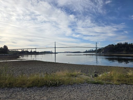
The launch spot proved even more perfect than I could have imagined, with plenty of room to park the vehicle, with a little path down to a natural launch spot on the rocky shore of the river. The Skeena at this point is tidal, due to its huge gulf and proximity to the Pacific Ocean, so it can be tricky at times to launch from anywhere but a proper boat launch or dock, yet this exact spot was the closest I could find to the ruins of Port Essington on the far side. The site of Port Essington is visible in this photo, just behind the two islands near the far shore just right of the center of the picture:
IMG_20210903_134523129_HDR.jpg
Sadly, misfortune struck once again. After having gotten the boat inflated and launched, the motor was running like absolute crap and looked like it was going to die at any moment. The weather was also increasingly poor, with winds picking up and some significant chop on the river, although the Intex Mariner III handles rough water quite well. I went out perhaps a half a km or so, then decided it was too risky with the motor running so poorly, and turned back. As soon as I turned back, the motor began running smoothly, so after a little ways, I turned back toward Port Essington, thinking the worst was over, yet before long the motor started sputtering and seemed on the verge of dying yet again. Perhaps it was an omen of providence that we weren't meant to go there on this particular day. It would be nice to visit there someday. Perhaps I will eventually do another expedition in this part of the world and actually make it over there. The one consolation was that my map recce had been spot on, and the expected launch point was as perfect as could be hoped.

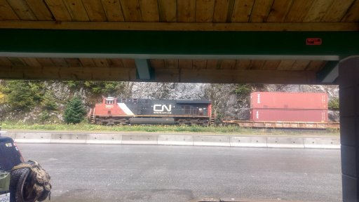
Discouraged, we headed down the highway toward, we thought, Work Channel FSR. We stopped at a rest stop for some lunch, watched a couple of trains go by, and generally mused over the next leg of the trip.
IMG_20210903_123700636_HDR.jpg
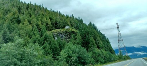
We ended up making it almost all the way to Rupert before we realized we missed the road. The reason was that it was no longer called Work Channel FSR, but had its name changed to Lackmack FSR. Driving back and forth, however, afforded us more views of the stunning beauty of the Skeena estuary, including a peek at this strange little abandoned house perched high on a cliff with seemingly no way to access it:
Mysteryhouse.jpg
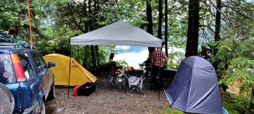
We finally managed to find the road, and after a fun drive through a disused forest track, we found ourselves at an absolutely jaw dropping seaside camp spot. This made up for all the frustrations of the day, as it is still to this day one of the most stunningly beautiful camp spots I've ever been in.

The area is popular with sport fishermen, and apparently the north end of the channel is a hotspot for humpback whale activity. The water in the bay was glassy still, and we saw some herons fishing nearby. We found an absolute gem of a camp site, albeit a bit of a damp one, and set up.
finalcamp.jpg
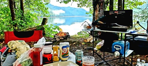
Dinner consisted of burgers with all the fixings and a well deserved frosty ale for me, followed by relaxing in front of the fire and looking out our "window" and the breathtaking beauty of God's creation spread out before us.
workchanneldinner.jpg

workchannel window.jpg
We sat and chatted as the sun went down, stoking and adding logs to the fire well into the hours of darkness. As we sat there in the dark, I heard the dinstinct sound of something approaching along the shore, from the left side of the picture above. The next instant after I heard it, my next thought was, "Oh, that's something big..."

Lo and behold, out walks a juvenile grizzly. He was snuffling along looking for tidbits among the rocks and crevices of the shoreline. I stood up and said, "Oh, it's a bear," at which point, his head snapped toward me with an expression that said, "I regret everything!"

I waved my arm and him and bid him to "Go on, GIT!" which he promptly did, turning and rocketing back down the beach as fast as his stubby legs would carry him.

We relaxed a bit longer before going to bed. I stayed up writing in my adventure journal, and curiously heard the sounds of some very late night anglers showing up at 21:45 or so, which I thought odd, but they didn't catch anything and left. I fell asleep to the sound of the rain falling on the tent.

A bit more to follow before the end of this adventure!
 
Last edited:

El-Dracho

Ambassador, Europe
Moderator
Member
Supporter
Investor

Inventor I

13,232
Lampertheim, Germany
First Name
Bjoern
Last Name
Eldracher
Member #

20111

Ham/GMRS Callsign
DO3BE
Wow, great shots and nice to read travel story. Amazing trip and sometimes it´s good to know when to turn around. I think it was a smart decision and you had a great time. Thanks for sharing.
 
  • Like
Reactions: CR-Venturer

CR-Venturer

Rank VI
Launch Member

Traveler III

3,372
Ardrossan, AB, Canada
First Name
Jas
Last Name
Spr
Member #

16340

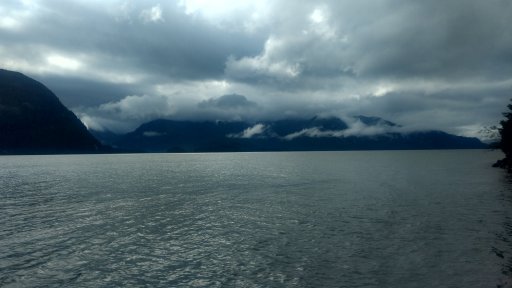
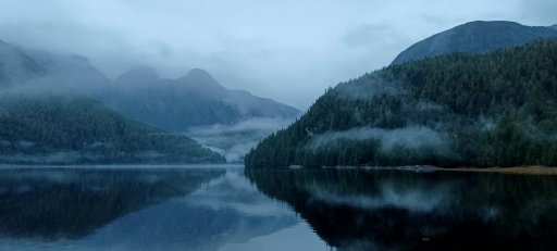
A torrential, unrelenting downpour began at around 2200h the previous night and was still going by 0730 the next morning. We had forgotten to move the chairs under the canopy, so they and virtually everything else was drenched. Nearly the whole bay was socked in with low cloud and mist. Given the circumstances, we decided that sitting around in the wet and staring at a grey wall wasn't much fun, so we skipped breakfast and packed up, to set our sights on the McDonald's drive through in Prince Rupert for breakfast. I did manage to capture a beautiful shot in the early morning light before we departed.
mistyinletmorning.jpg
I will never forget this awesome camp spot and I hope some day to return.

We drove into Prince Rupert and grabbed some breakfast from McDonalds. Prince Rupert is entirely situated on Kaien Island, with a slightly smaller island called Digby to the west of it, toward the open ocean. There is a ferry that runs from Rupert across to Digby, to provide access to the Prince Rupert airport and the village of Dodge Cove. The map suggested this might be a good go, with perhaps some interesting off roading and a visit to the quaint village to be had. In BC, many small ferries such as the one from Rupert to Digby are free, or have a very small fee, so as not to overburden residents. We were therefore shocked to find out the fare was $40 for a ten minute ferry ride. Now, if the fare had been $10 or even $20, I would have probably just bitten the bullet and gone for it, but $40 was really too much in my opinion. Instead, we opted for a drive up Mt. Hayes, the central peak of Kaien Island that towers over the city and on a clear day provides stunning views of the surrounding islands and the open sea toward Haida Gwaii.

On the way up hayes, we stopped to visit a WWII building of some sort, perhaps a small storage warehouse. It was basically a big concrete box with a door and a few windows whose glass has long since been obliterated. I originally had a picture of this but it's somehow gotten lost over the years. Prince Rupert boasted several coastal defensive emplacements during the war that have since faded into obscurity and all but vanished into the underbrush of Mt. Hayes. One can still visit them if bush bashing is on the itinerary, although since we visited, I believe there has been some work done to turn them into a tourist attraction of sorts and make them more accessible.

The drive up Hayes was very steep in places and more technical than we expected, which added to the fun, but unfortunately due to the miserable weather, the views were nowhere near as excellent as they normally would have been. We saw three porcupines on the way up, the critters being quite numerous in the area, and finally made it to the top where we were parked amid the clouds and couldn't see much of anything. At least we can say we made the summit!

All in all, it was an excellent adventure despite the numerous setbacks, one well worth having which provided several valuable lessons:

1. Map recce is a double edged sword - this had been proven on my Kitsault expedition, but was heavily reinforced here. It can be indispensable on this kind of adventure, but at the same time can be deceiving. To be fair, though, even if I had noticed before the trip that the bridge on Gitsekan was out, I might have still taken a drive down there to see if I could make the crossing anyway.

2. Always have a backup plan. We generally did, at times even having to resort to plan C, as on the second night. Being flexible, rolling with the punches and keeping a positive attitude are critically important to the success of an adventure, even if it turns out differently than first imagined.

3. My loadout on this trip was really too heavy. The boat was certainly a big factor in this, which was unavoidable given the intention of visiting Port Essington, however the worst culprit was the 10x10 canopy. Bulky, heavy, hard to set up. This was the trip that convinced me I really need a vehicle mounted awning. I have my eye on an affordable one from Princess Auto; hopefully the family budget will allow it one of these days. I might someday look at a lighter alternative to the Coleman stove, as it's rather bulky for a 2 burner, but honestly it was 20 bucks and works like a champ every time, so hard to beat.

4. Every adventure tends to create new ideas for further adventures. I still hope someday I might conquer the impassible canyon on Gitsekan, even if by backpacking to the coast.

This would prove to be Ganbaru's final big adventure, sadly, so I'm glad it was such a memorable one. Thanks for reading, fellow adventurers! Until next time, keep adventuring!

Hayesposecrop.png
 
  • Like
Reactions: David_561cfd

CR-Venturer

Rank VI
Launch Member

Traveler III

3,372
Ardrossan, AB, Canada
First Name
Jas
Last Name
Spr
Member #

16340

Breathtaking. And this is not a $200,000 rig. So impressive, so real and so proud.
Amazing.
Zim
Hey, brother! Thanks for the kind words, and thank you for your service :)

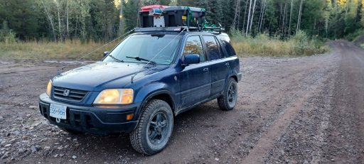
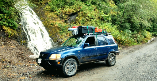
I often joke that I should start a youtube channel called "Ghettoverlanding" because all my gear is pretty dirt cheap, including my rigs. Ganbaru cost me $1800 Canuck bucks, which was a steal of a deal, but even now a first gen CR-V in good shape can generally be had for under 5k. The skidplate cost me a case of beer to my brother in law and his boss for the plate and the bending, trimming etc. He also built my winch bracket for the same price, based on my mock up out of coroplast. I think the HRG lift kit was maybe $200 or so after the shipping and exchange and whatnot, and I got a smokin' deal on the 235/75/15 tires which were probably my favourite mod.

There's virtually no obstacle or terrain I wouldn't have tackled with Ganbaru, with the exception of really extreme rock crawling. I drove it up extremely steep, rutted, rocky mountain roads, through extreme washouts, flooded trails with water up to the door sills, narrow, technical trails, you name it. Handled it all like a champ. I'm thankful I had this vehicle as my first 4x4, because it forced me to become a better off road driver due to the fact that the vehicle isn't actively doing much for you, just giving you short periods of 4x4 under the right mechanical conditions.

Glad you enjoyed the write up, and thanks again for commenting :)
 

CR-Venturer

Rank VI
Launch Member

Traveler III

3,372
Ardrossan, AB, Canada
First Name
Jas
Last Name
Spr
Member #

16340

Thanks for great photos and report. Brings back memories of our own travel through the area in 2022 , although you clearly ventured further than we did.
I fell in love with the North as soon as I moved there. I still miss it, and I hope someday to return for another expedition, hopefully hit the spots I wasn't able to reach on this go round. Cheers and thanks for commenting!