Exploring the NVBDR with our Adventure Cat

  • HTML tutorial

G0to60

Rank II

Enthusiast III

473
Milwaukie, OR
First Name
Wayne
Last Name
Larson
A little back story. This trip went through at least four different variations within a month of when we left. Originally the plan was to visit family (my parents and Grandparents) for the first time in over two years at Virginia Creek, CA for a couple of days and then continue down to a 4x4 camping/recovery class in northern AZ. Then the fires kicked in and the AZ part of the trip was canceled. Bummer. So now we had half a week to figure out what to do and we thought “Well, the Rubicon is on the way home. Let’s do that!” After some looking and making sure we could actually make it in her Jeep we decided that was going to be our adventure. Nope! It turns out that was when they have the Jeepers Jamboree and the trail was closed unless you are part of the group. Damn.

Then my Parents and Grandparents pulled out due to extreme fire danger both at their homes and at the campsite along with very high temperatures even at high altitude. My Grandparents are in their early 90’s so high temps are not a great idea out in the woods.

Now we have an entire week with no real plans. We threw around ideas of visiting several National Parks while still heading to SE California (Lassen, Sequoia, King Canyon) but fire danger and not being able to bring the Adventure Cat kind of killed that idea. Next was to still go to Virginia Creek and do day trips to Sequoia and King Canyon NP but there isn’t any access to those parks from the east so that was out.

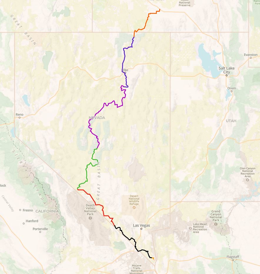
Finally we decided let’s check out one of these Backcountry Discovery Routes. We have done a short section in Oregon (Prineville to Seneca) that took us about 3 days and was 190 miles but we wanted to go bigger so we decided to try the Nevada BDR. This route goes from the southern tip of NV (starts in Oatman, AZ) and ends in Jarbidge, NV. This is roughly 900 miles of dirt tracks and trails in some of the most remote parts of Nevada and is supposed to take us at least 6 days. This is a big jump for us in a new vehicle (I posted a small build thread here ) but we were up for the challenge. To make things even more interesting we decided to throw in a quick visit to my Grandparents on the way down which was totally worth it to see them both after such a long time.

Here is the route that we took.
NVBDR by Wayne Larson, on Flickr

In order to make the best time we could we took the boring route from Portland, OR down to Big Bear, CA which involved a lovely trip down I-5 and Hwy 99. We arrived in Big Bear on Sunday afternoon and it was so great to see my Grandparents. We hadn't seen them in over two years and they were thrilled to actually have someone visit in person after so long (July, 2021). We spent the evening talking about everything and it was well worth taking the time.

My Grandparent's house that they built in the 60's and lived in full time starting in the 80's.
20210718_181955 by Wayne Larson, on Flickr

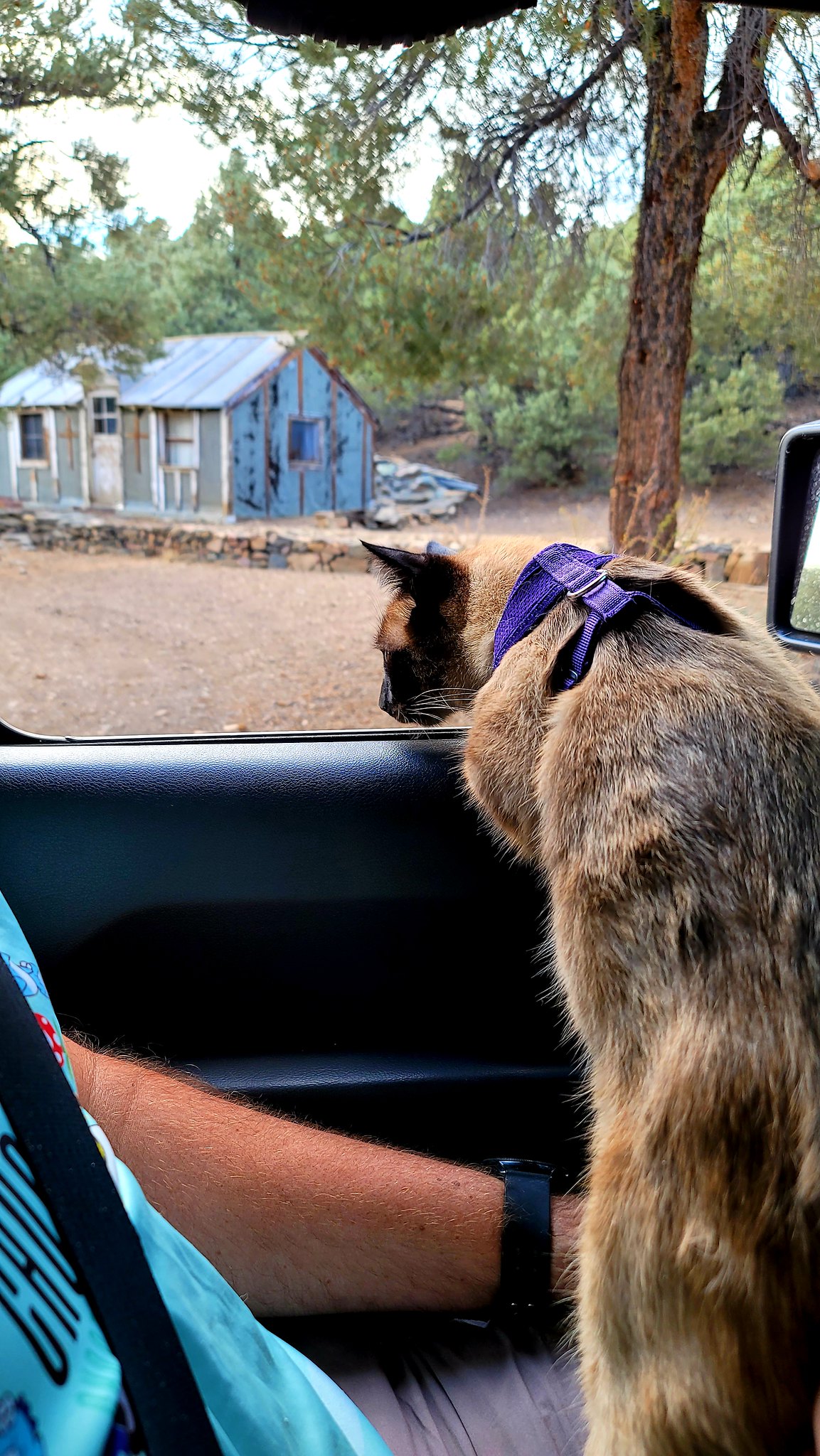
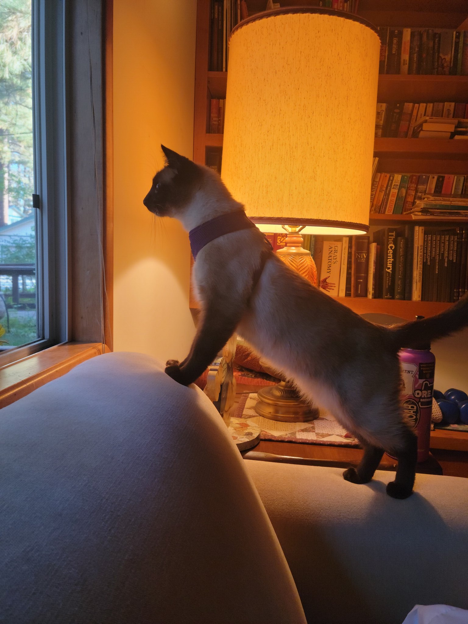
This was a theme for Adventure Cat for this trip. He loved to look out the window overnight to see whatever it is that he saw.
20210719_064342 by Wayne Larson, on Flickr

The next day we had to hit the road. We needed to make it to Oatman by the afternoon but decided since it was pretty close that we would do a drive thru of Joshua Tree NP. My wife had never been there and it had been several years since I had gone through. We only stopped at the various roadside sights but it was worth it. It was also in the upper 90's so long hikes, especially with our pets, was out of the question.
20210719_125950 by Wayne Larson, on Flickr

20210719_130004 by Wayne Larson, on Flickr

20210719_121040 by Wayne Larson, on Flickr

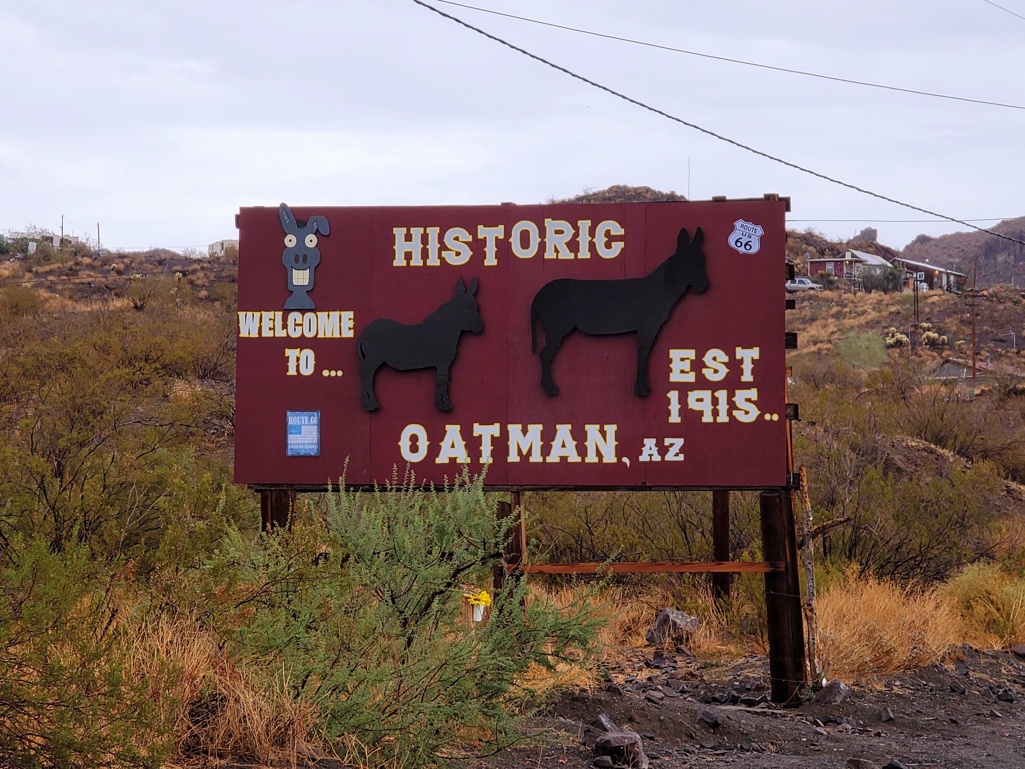
We will probably make another trip down there in the cooler months but for now it is on to Oatman. This old mining town marks the southern most point of the NVBDR even though it is in Arizona but we'll look past that. This town hit the big time in 1915 when gold was found in the surrounding hills. Once the mines started to run dry they moved on to tourism and kept the downtown area very authentic down to the wooden boardwalks, weathered store fronts, and the herd of "wild" burros that basically live in town.
20210719_171307 by Wayne Larson, on Flickr

20210719_173740 by Wayne Larson, on Flickr
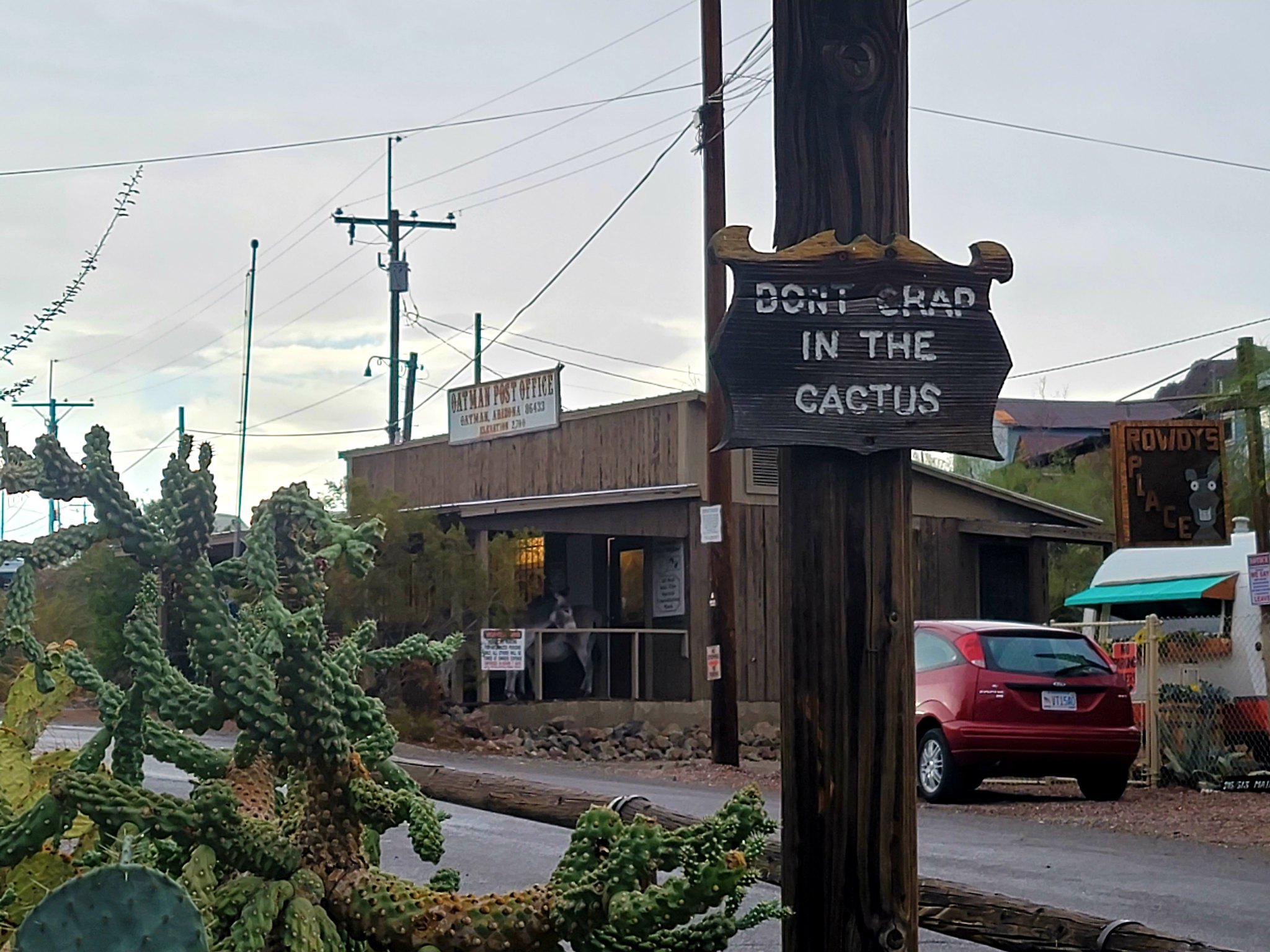
20210719_173803 by Wayne Larson, on Flickr
 
  • Like
Reactions: Eddie Linn

G0to60

Rank II

Enthusiast III

473
Milwaukie, OR
First Name
Wayne
Last Name
Larson
The funniest thing happened while we were there. During this time of year there are sometimes pop up thunderstorms in this area. It started to rain while we were in town and the burros were not a fan of getting wet. They all huddled under the covers at the Post Office and General Store. Also, while talking with one of the shop owners apparently there are turf wars with the different burro herds. The town herd is very keen on keeping their territory and will fight any outsiders that come in. I don't blame them as they have it pretty good.

20210719_171917 by Wayne Larson, on Flickr

20210719_171930 by Wayne Larson, on Flickr

20210719_172425 by Wayne Larson, on Flickr

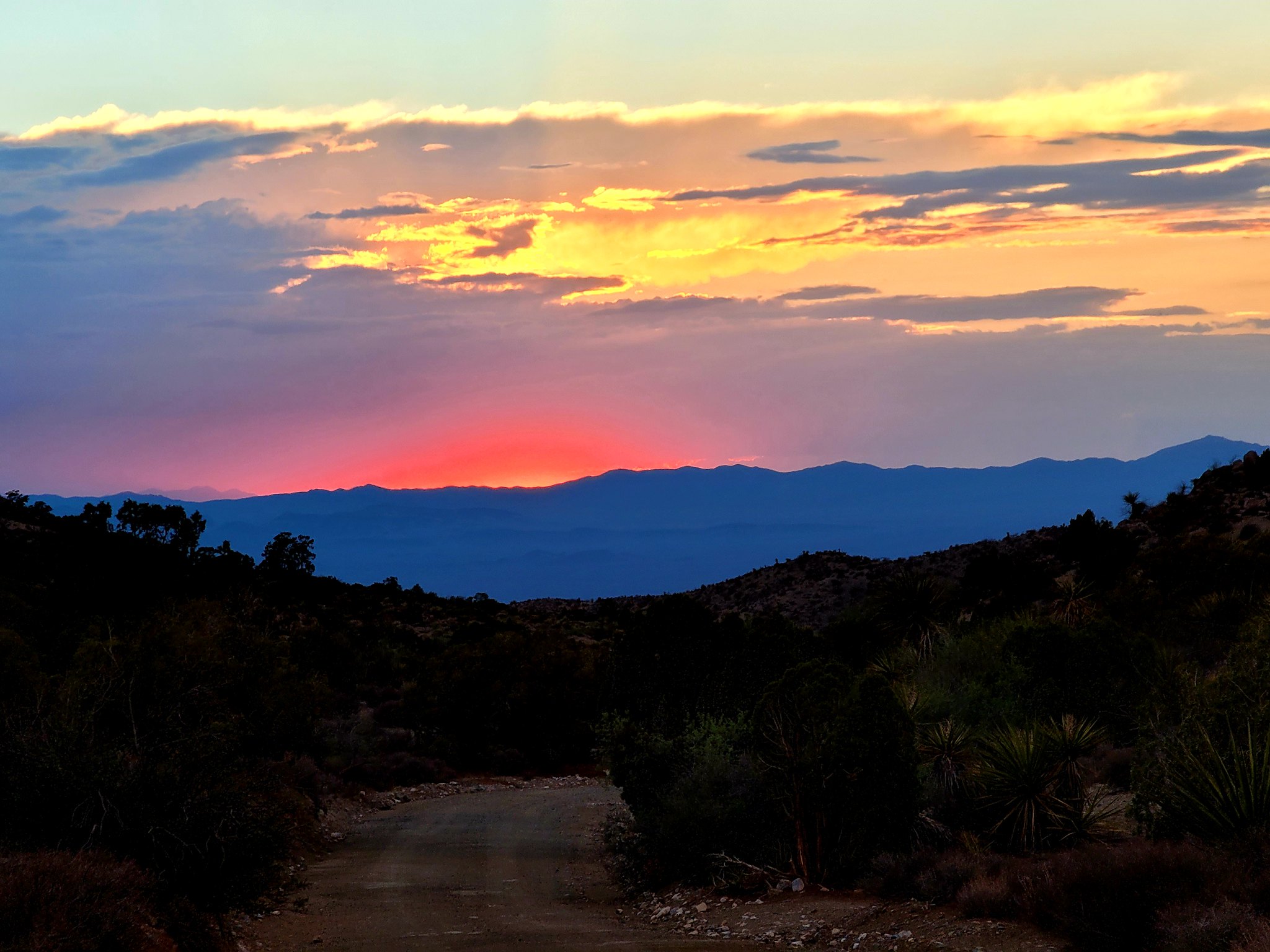
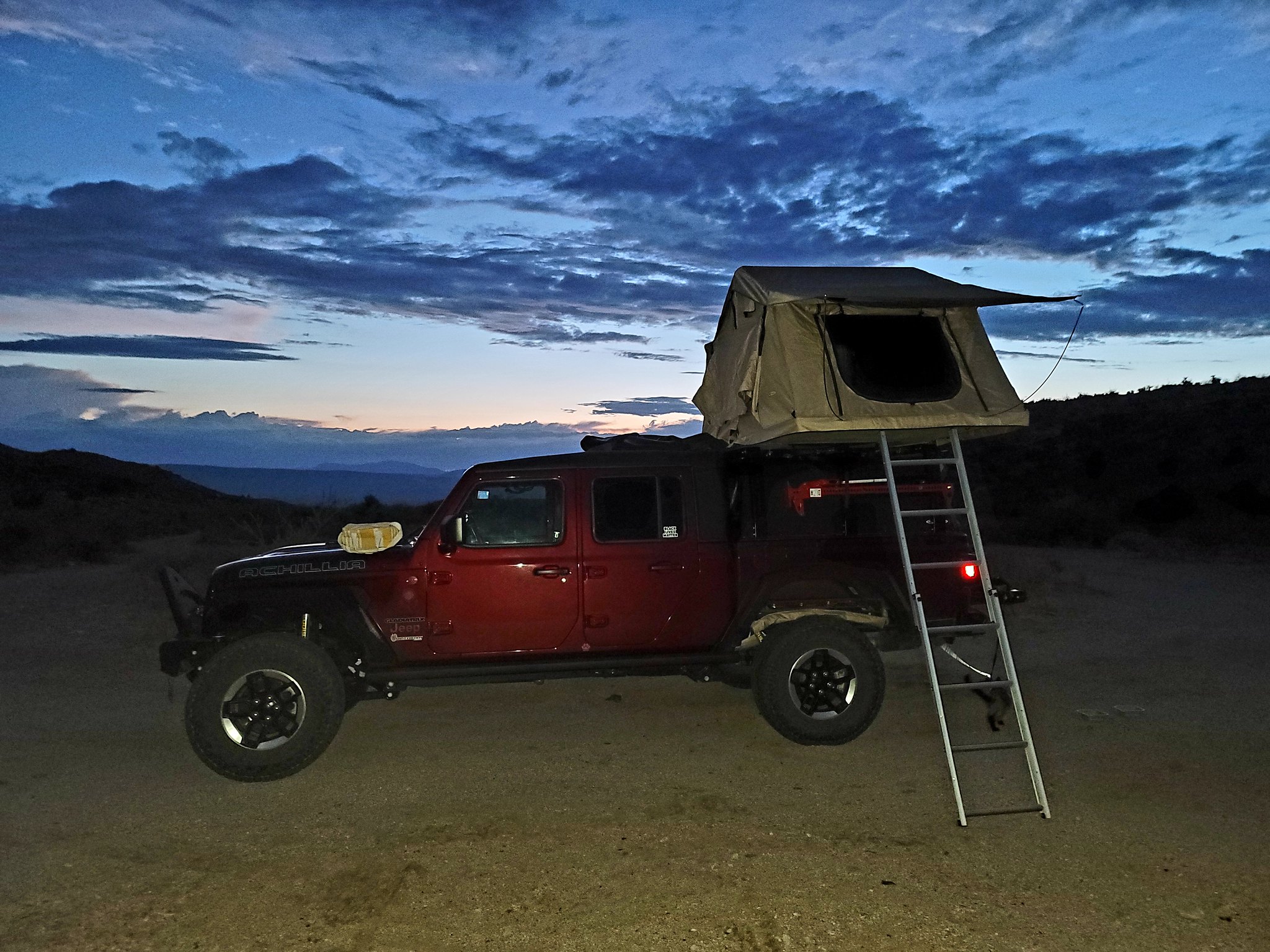
After a quick look around town we hit the road to see if we could find a campsite for the night. Just out of town is where the Bureau of Land Management boundary starts so we can disperse camp pretty much wherever we want. It took us a couple of hours and we found a nice spot just before sunset. The rain had cooled things nicely and it was only in the upper 80's and the clouds gave us a very nice light show before it set.

20210719_194926 by Wayne Larson, on Flickr

20210719_202649 by Wayne Larson, on Flickr

20210719_202630 by Wayne Larson, on Flickr

This was the end of our first day on the trail. The next day would bring us Christmas trees in the desert, a creepy abandoned "church", forests of Joshuas and personalized whiskey.
 

G0to60

Rank II

Enthusiast III

473
Milwaukie, OR
First Name
Wayne
Last Name
Larson
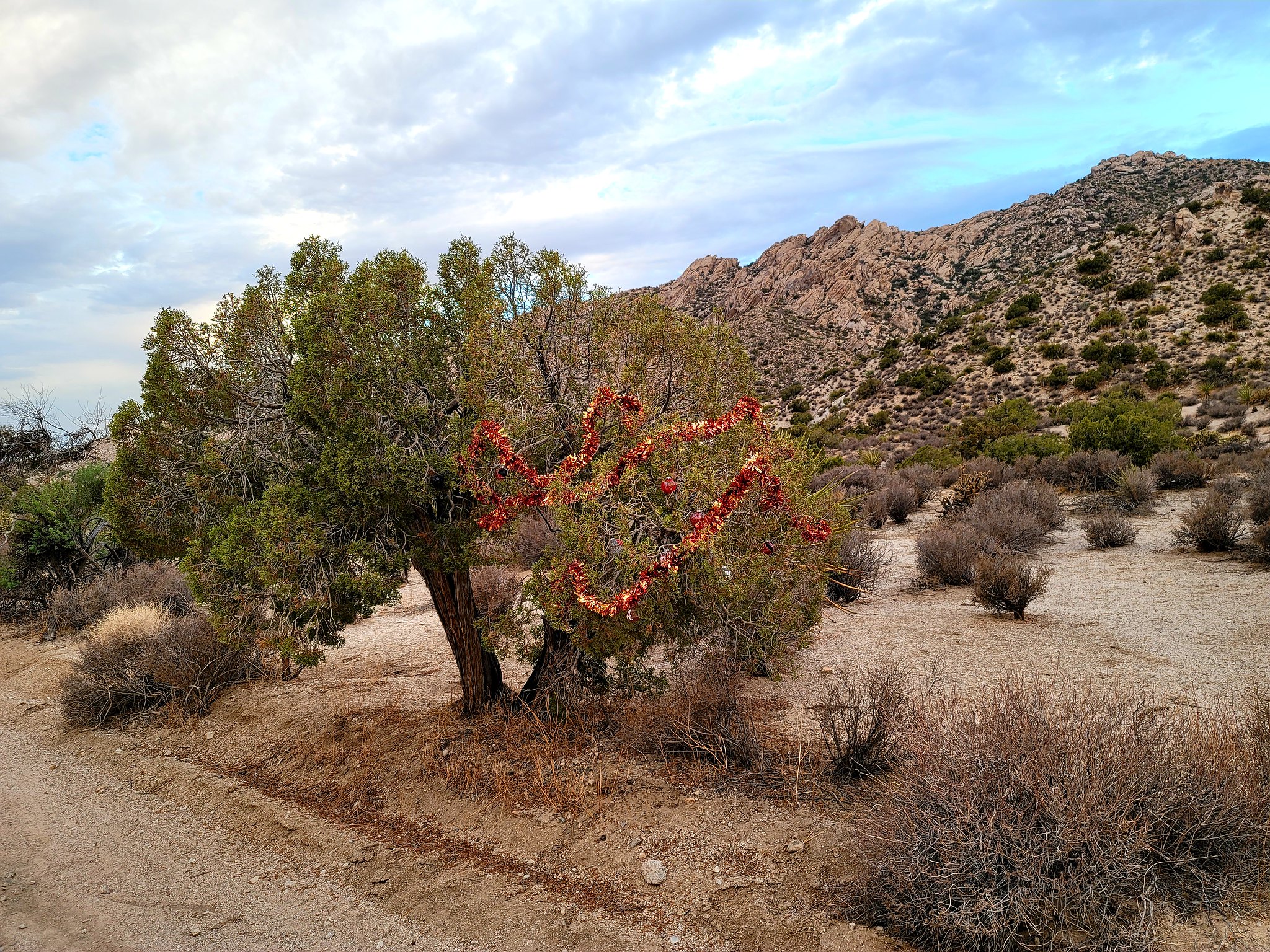
We continue on day two of the NVBDR. This day was kind of a boring slog because most of the track basically followed major highways and wasn't all that out in middle of no where. That doesn't mean there wasn't things to see. First thing, as promised, was a Christmas tree next to the track. This is on point because we were in fact going over Christmas Tree Pass.

20210719_193701 by Wayne Larson, on Flickr

I have mixed feelings about this type of thing. On one hand it is garbage that could harm the wildlife but it is a bit of fun to see along the trail. We did end up leaving it but just before leaving camp we did clean up the mess the previous guests had left. This is my biggest pet peeve. Clean up your crap before you go. Luckily there wasn't a whole lot of stuff to pick up as we've seen other sites that are basically a land fill.

20210720_080602 by Wayne Larson, on Flickr

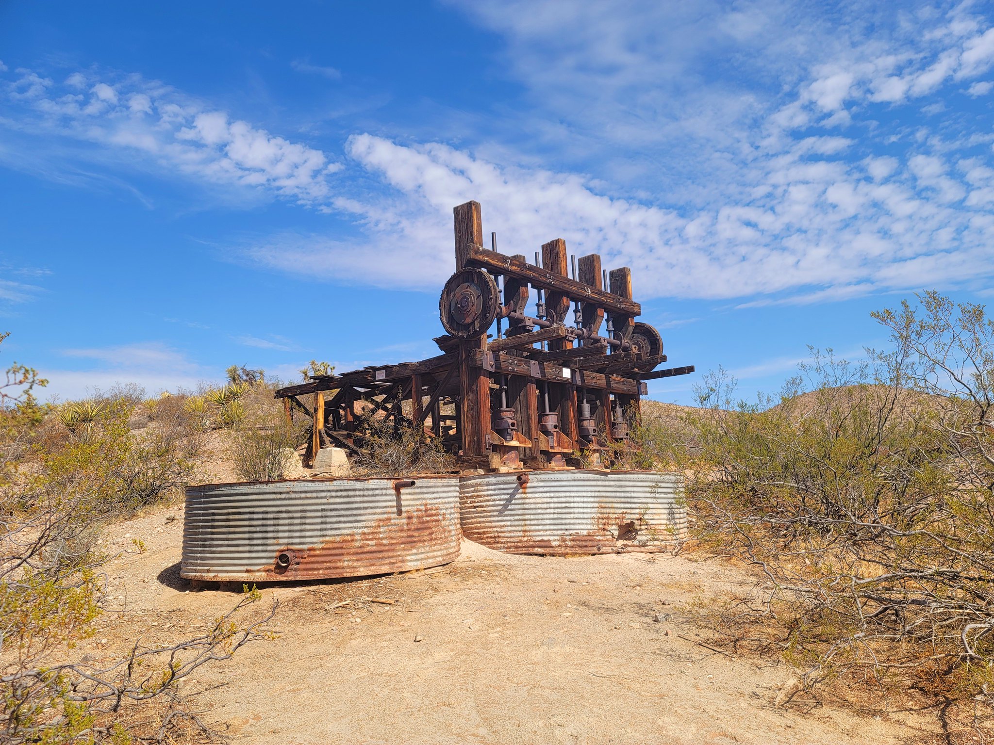
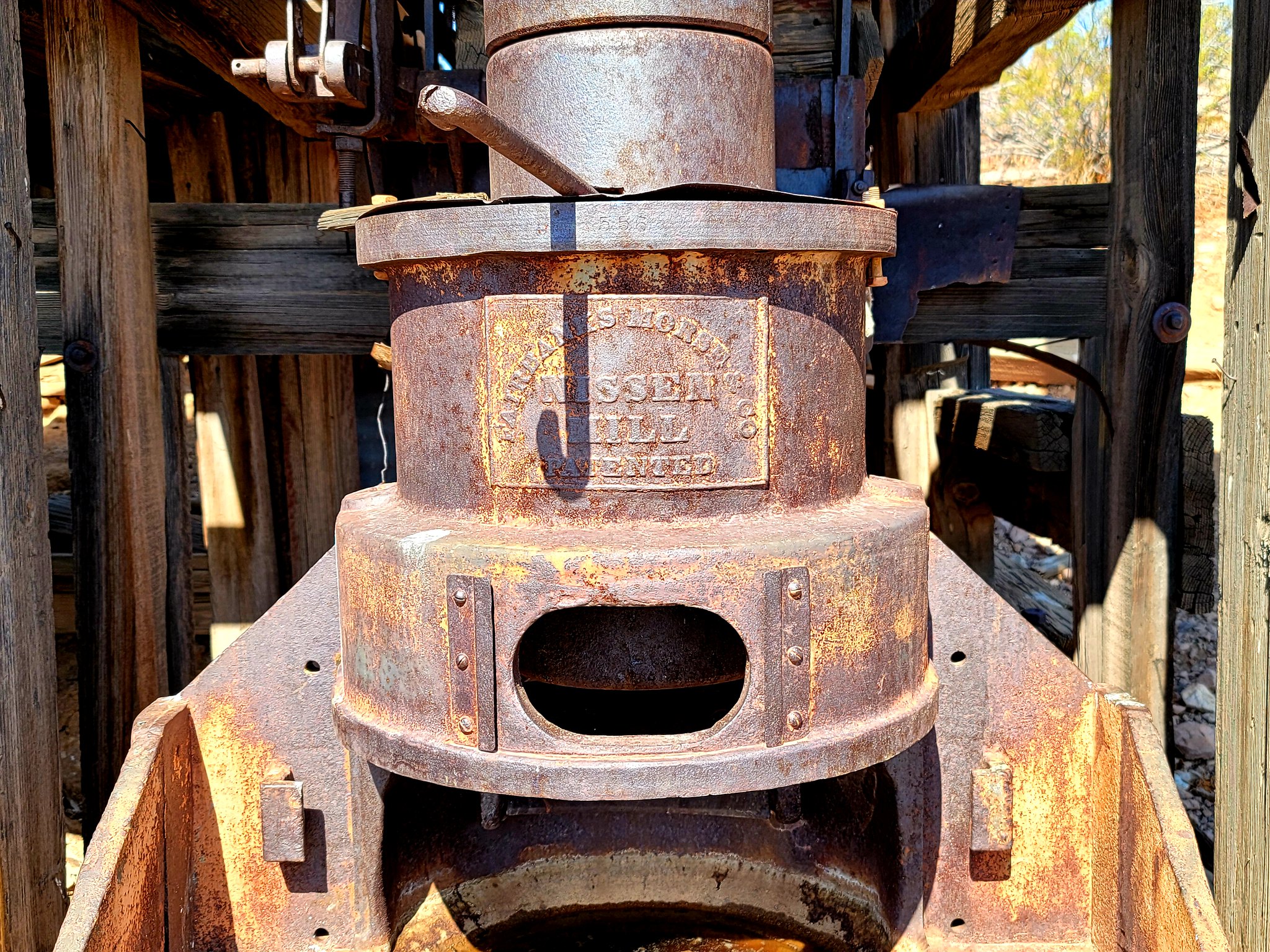
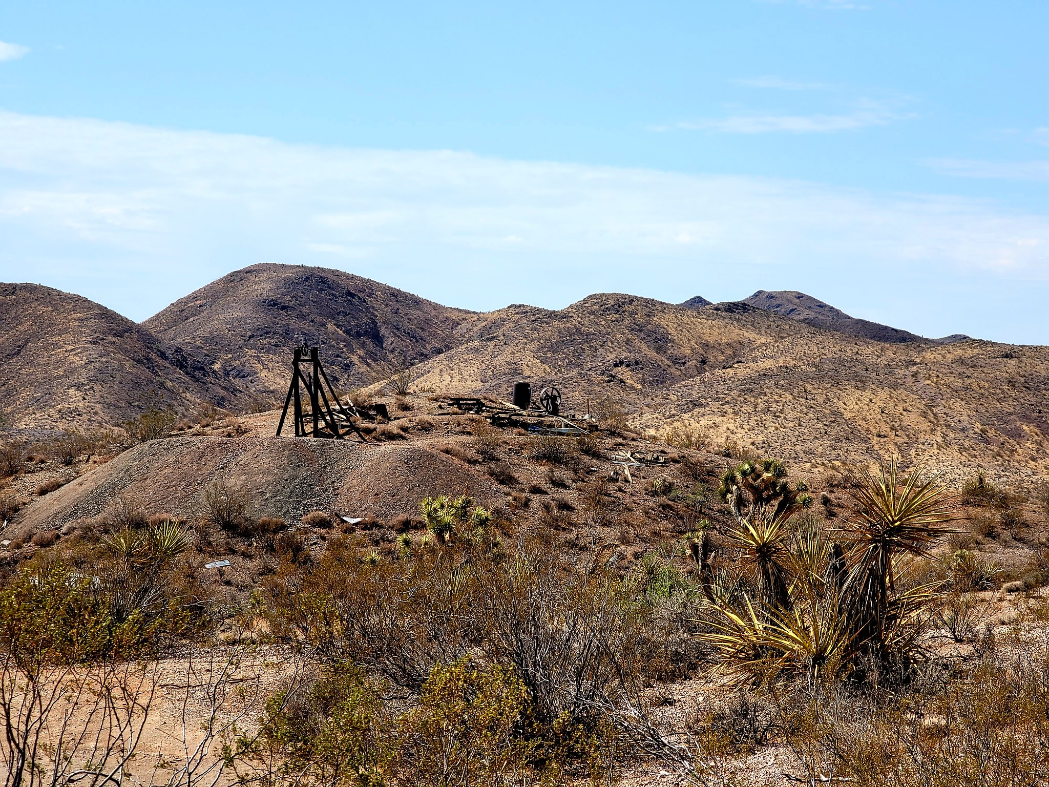
The next stop along the way is the small town of Searchlight, NV. My wife found that there is an abandoned mine that you can get pretty close to. Many of the mines that we drove past had fencing up or were very difficult to get to so this looked to be a fun little side trip. There are several structures still standing including the mine head and the four stamp mill.

20210720_094003 by Wayne Larson, on Flickr

20210720_093820 by Wayne Larson, on Flickr

20210720_093924 by Wayne Larson, on Flickr

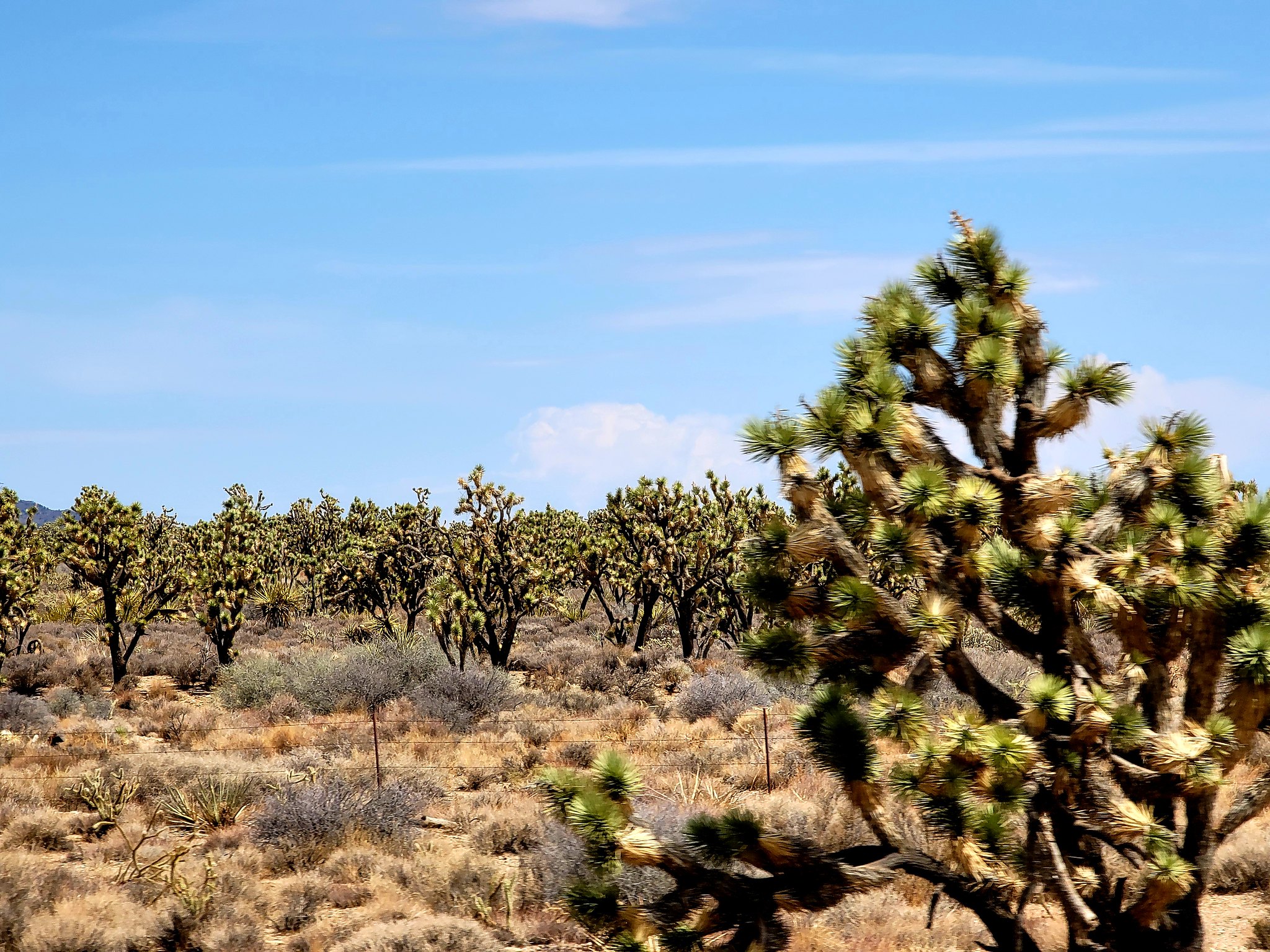
After a bit of exploring it was time to go and make it to our second fuel stop (forgot to mention our first stop was in Bullhead City) in the town of Primm. To get there most of the trek was along the Joshua Tree highway or Hwy 164 and it is very on point for the name. We thought there were a lot of Joshua trees in the National Park but we drove through forests of them along this route. We got a good look at them since we were still aired down to 25psi so we kept it to around 45mph.

20210720_104523(0) by Wayne Larson, on Flickr

20210720_104521 by Wayne Larson, on Flickr

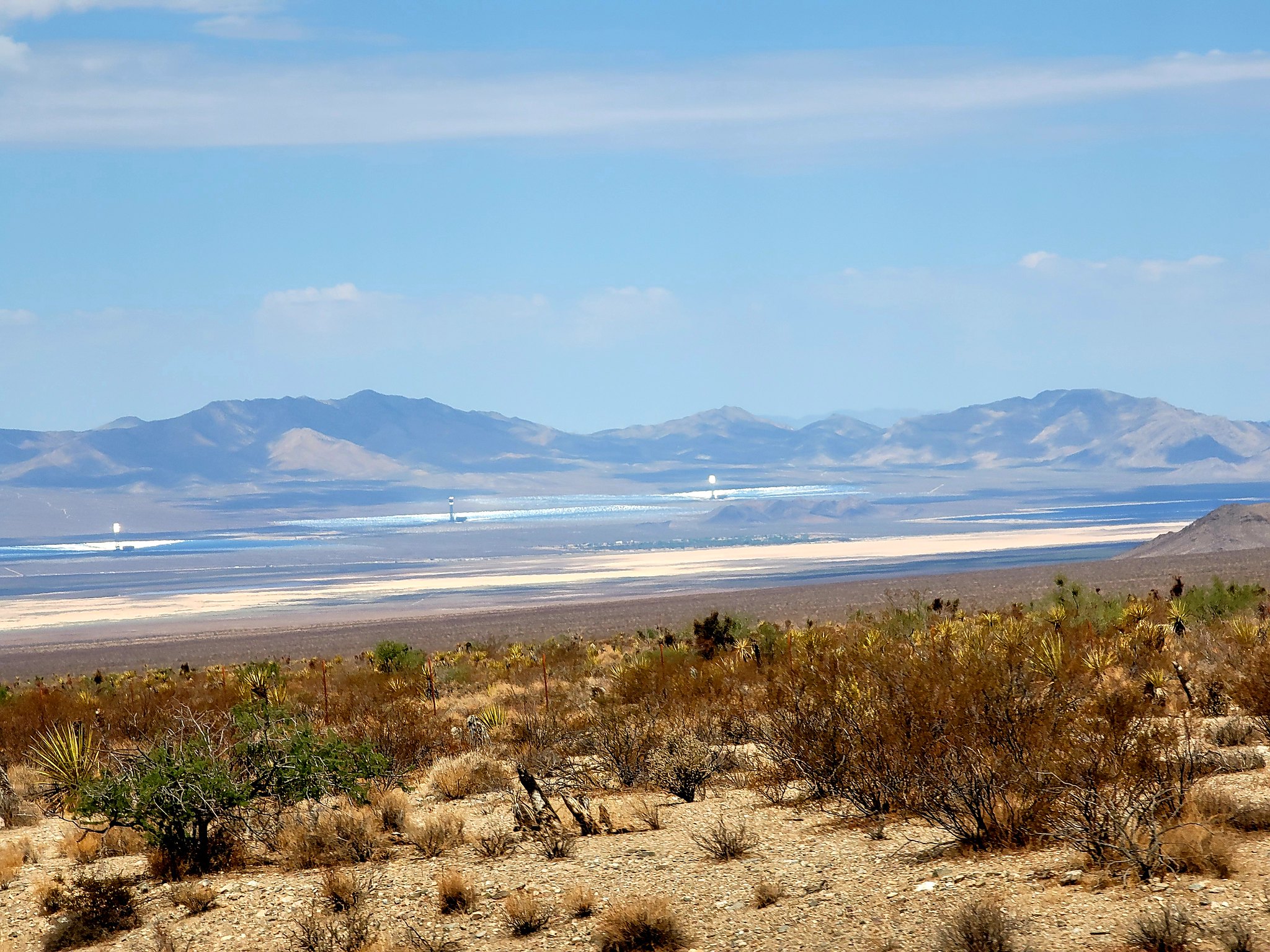
We also dropped down onto one of the solar collector plants in the area. Instead of using PV cells to directly convert sunlight into electricity they collect the sun's heat with giant mirror arrays with a central collect. Pretty cool to see.

20210720_105317 by Wayne Larson, on Flickr

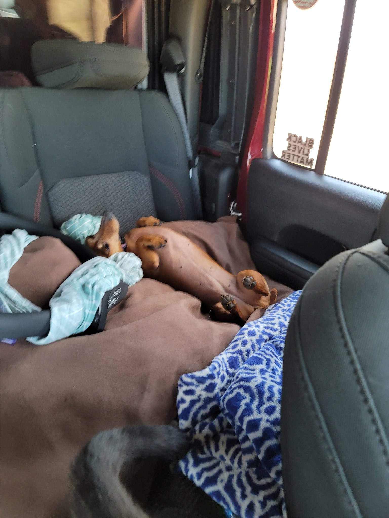
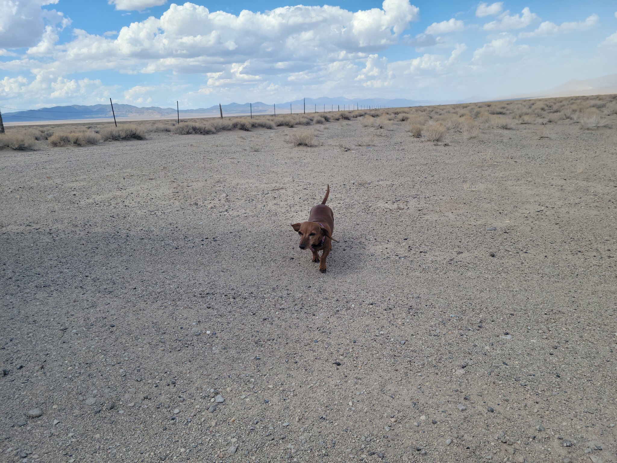
I said that this was kind of a boring drive and the animals agree. Our dachshund Mya was not impressed and napped most of the time.

20210720_110626 by Wayne Larson, on Flickr

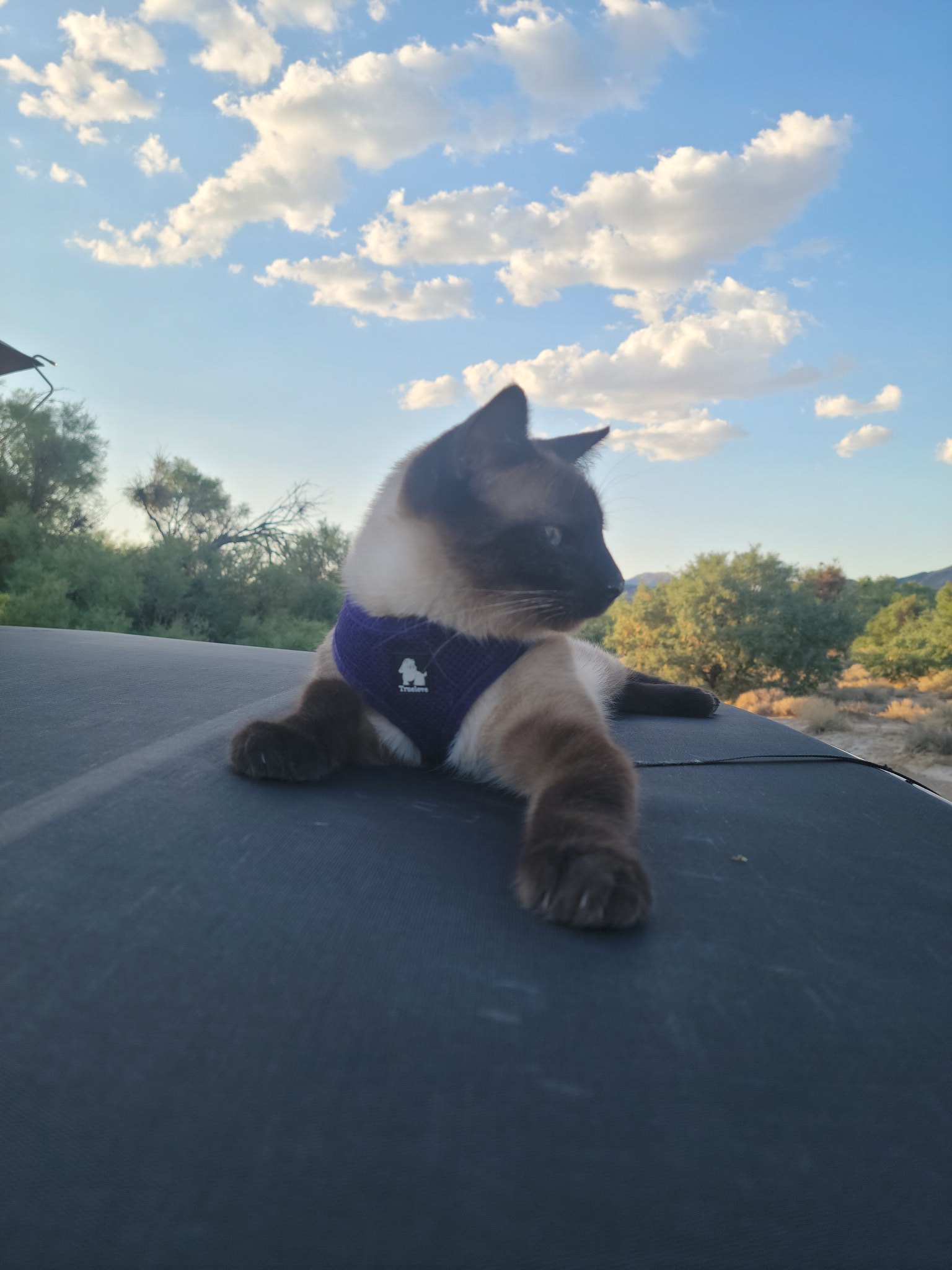
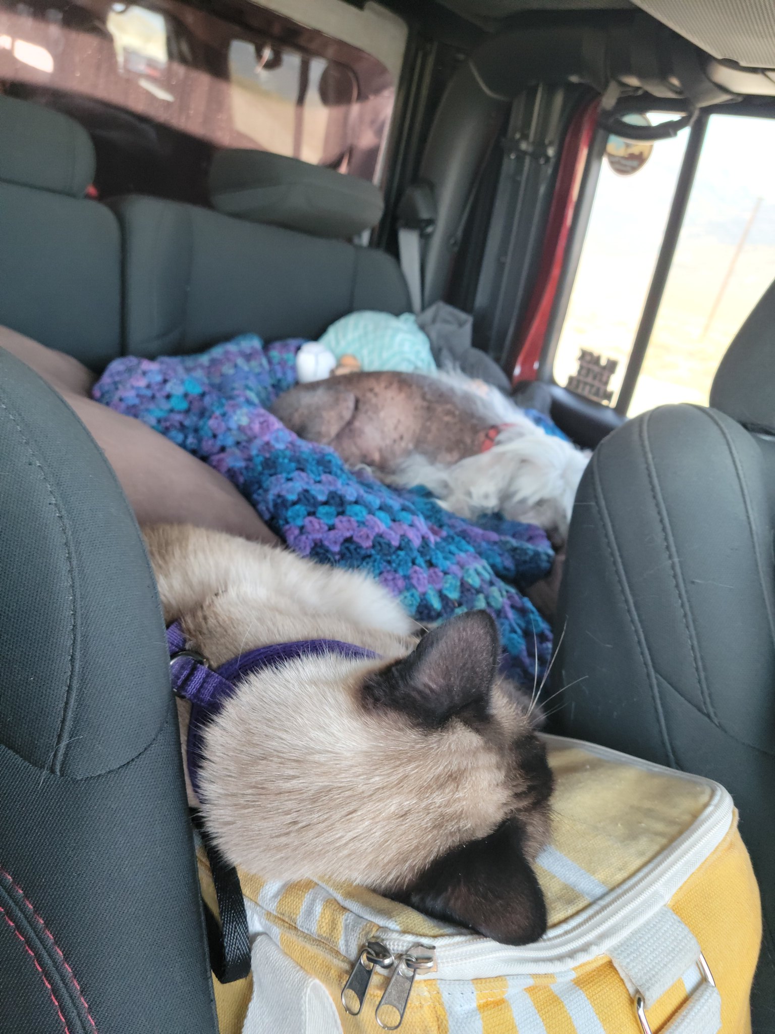
Adventure Cat likes to literally chill on our small cooler. You also get to see my awesome day glow Speed Gate shirt. I won't be missed with that thing on.

20210720_110630 by Wayne Larson, on Flickr
 

G0to60

Rank II

Enthusiast III

473
Milwaukie, OR
First Name
Wayne
Last Name
Larson
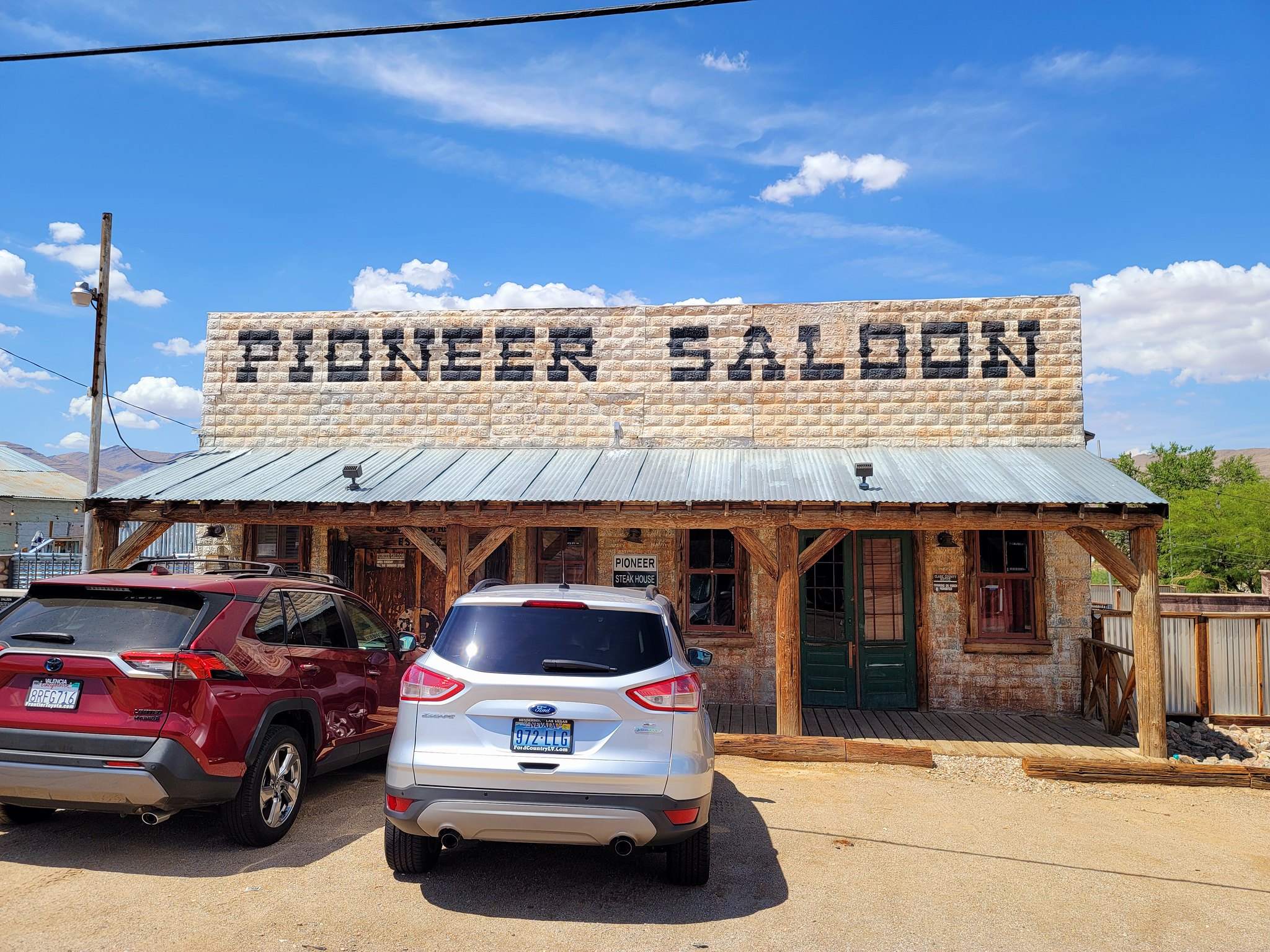
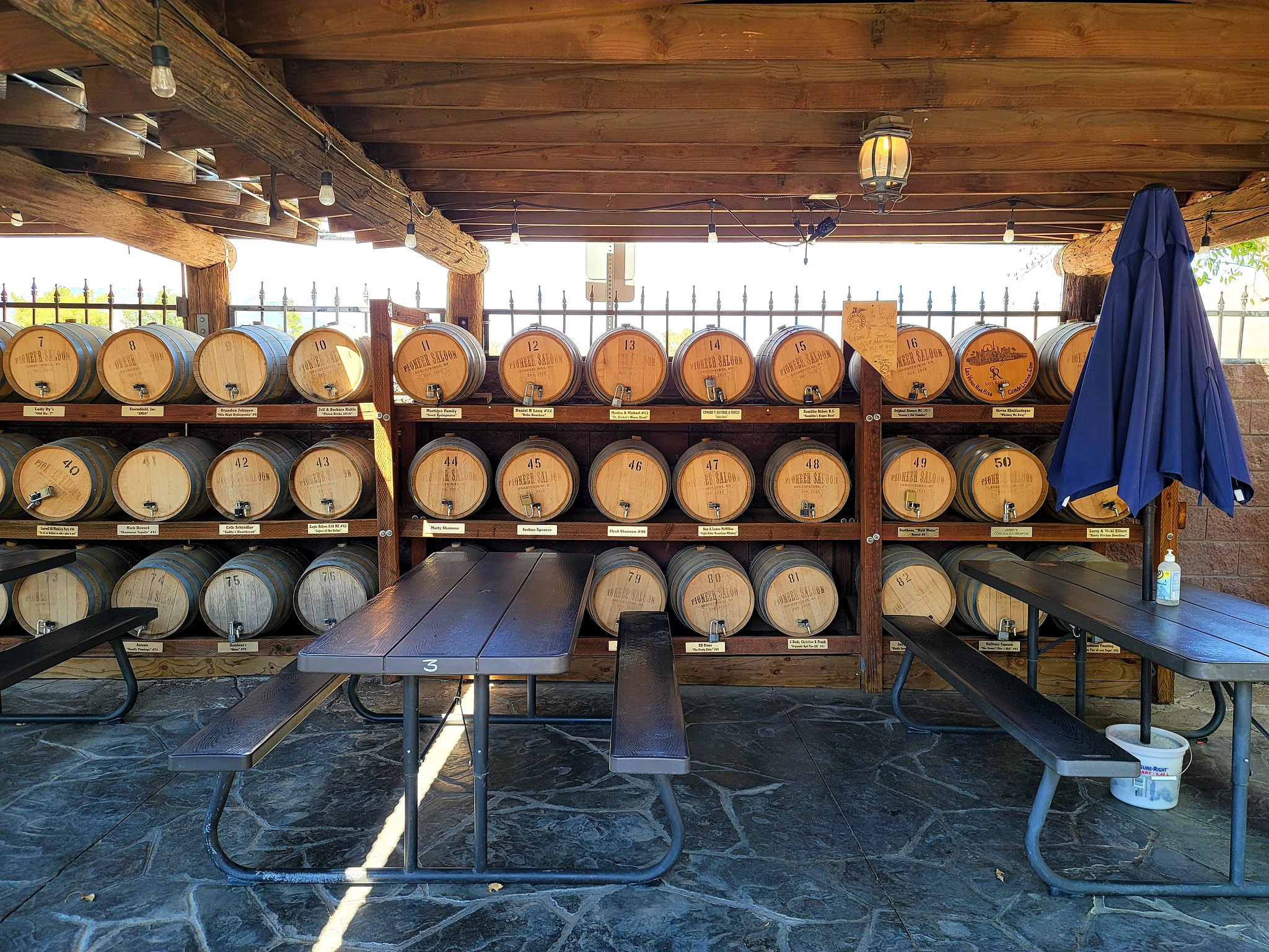
Next we stopped in the old mining town (see a trend here?) of Goodsprings. This is home to the oldest working saloon in the state which started in 1913 to service all of the miners and cattle ranchers that were in the area. As a bonus, apparently you can have your own whiskey barrel out back to age.

20210720_142256 by Wayne Larson, on Flickr

20210720_142308 by Wayne Larson, on Flickr

20210720_141808 by Wayne Larson, on Flickr

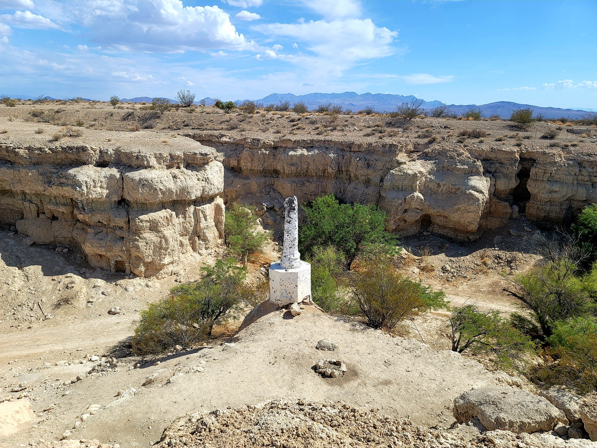
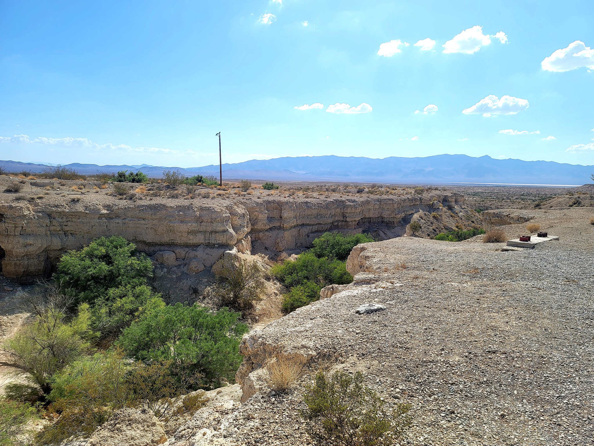
It was getting late in the day and we wanted to make it to Pahrump for our next gas stop. On the way through pretty desolate land we came across a sudden ravine carved into the landscape. On closer inspection down inside we noticed that there were some kind of religious relicts and old rooms carved into the sides. This turned out to be Cathedral Canyon where Roland Wiley built this back in 1972. At the time we didn't realize it was that recent since the state of it now was pretty poor. It was still an odd thing to see in the middle of the desert.

20210720_155815 by Wayne Larson, on Flickr

20210720_155818 by Wayne Larson, on Flickr

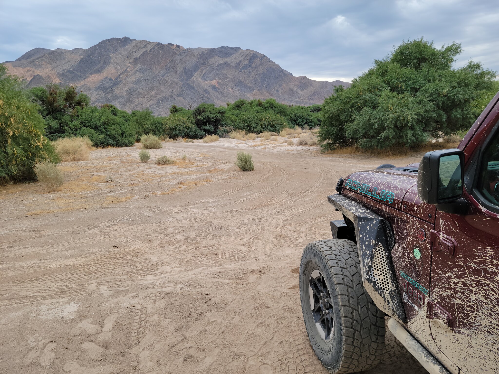
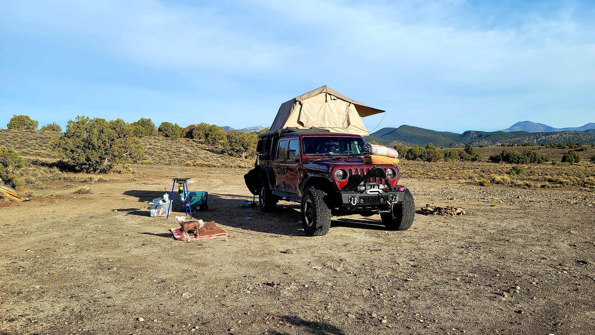
After getting fuel in Pahrump it was getting time to find a camp site. We didn't have anything noted on our maps so we decided to head out along the track and see what we could find. After about an hour we came upon a burst of green and went to check it out. This area turned out to be a great place for mesquite to grow and it gave us a little shelter from the wind and sun. After some turns through the woods we found a nice turn out and set up camp. Adventure Cat did his best to supervise from up high in the shade of the tent. This would turn out to be our hottest night of the whole trip (around 95F when we went to bed) which is weird because our track would eventually take us through part of Death Valley NP but I'm getting ahead of myself. I also think that the weather gods were messing with us because since it was so hot we decided to take the rain fly off of the tent so we could use the roof windows for some star gazing and letting the heat out. More on the rain fly later.

20210721_075548 by Wayne Larson, on Flickr

20210720_192158 by Wayne Larson, on Flickr

20210720_184133 by Wayne Larson, on Flickr

20210721_081115 by Wayne Larson, on Flickr

20210720_190940 by Wayne Larson, on Flickr

That was the end of day two on the trail. The next day we drive through rain in Death Valley, visit a glass bottle house, do some actual rock crawling in a spider canyon, and camp near a creepy cabin in the woods.
 

G0to60

Rank II

Enthusiast III

473
Milwaukie, OR
First Name
Wayne
Last Name
Larson
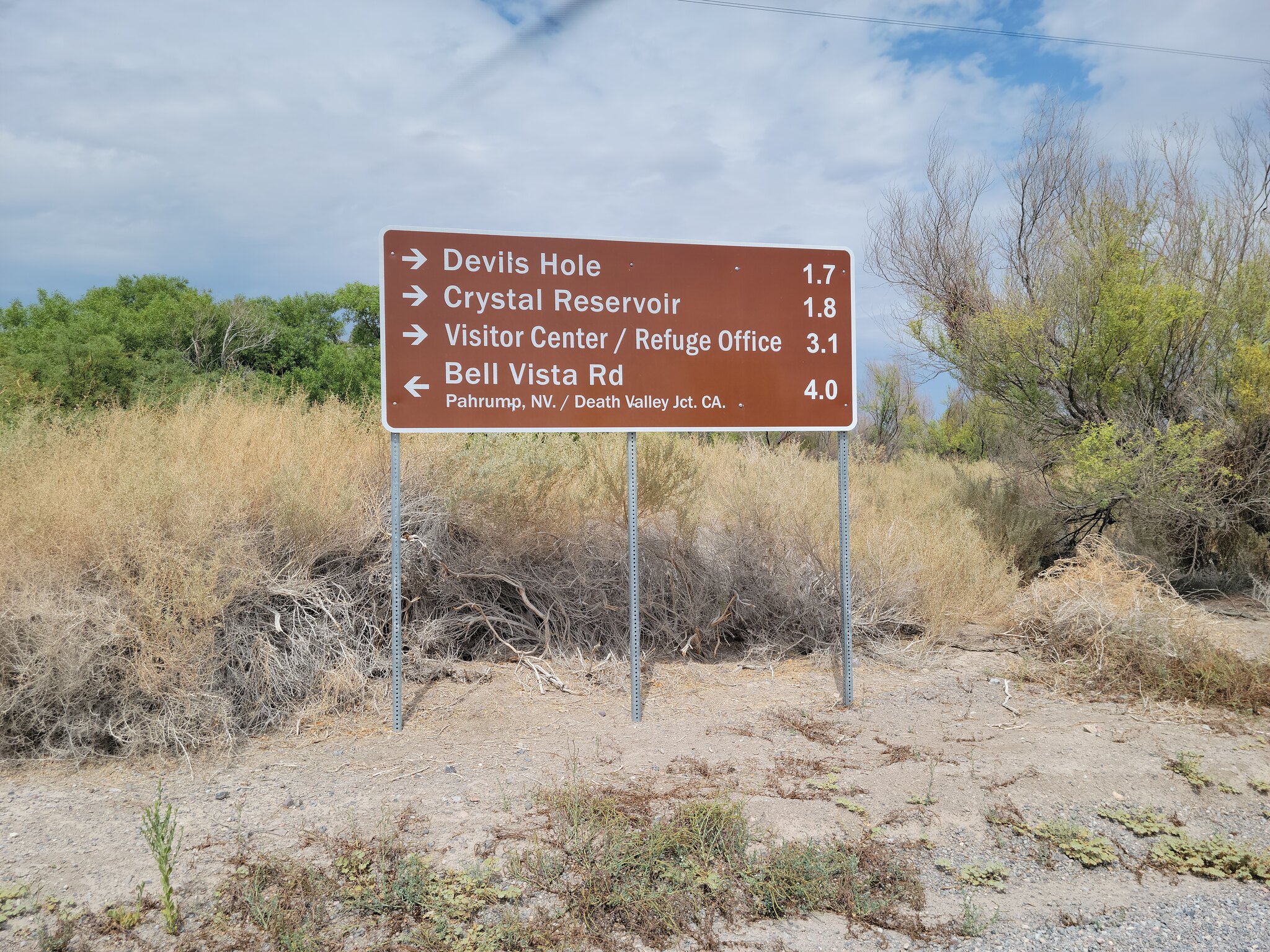
As we woke up for day three I was going over how we would deal with the heat and conditions that we expected for the day. Going through the NE corner of Death Valley NP in July had all sorts of heat related concerns going through my head. I'm getting ahead of myself though and soon found out that my fears weren't warranted. This was because overnight the clouds rolled in and gave us glorious overcast that dropped the temps nicely. Our next planned stop was in the small town of Beatty, NV for fuel and ice and what not so we set off into the desert heading north. Our route took us through Ash Meadows Wildlife Refuge where there are a type of fish (yes, fish) that live in cave pools and are only found here. Unfortunately the Devil's Hole location was closed off so we didn't get to see these unique desert fish but it will be on our list of future stops.

20210721_103346 by Wayne Larson, on Flickr

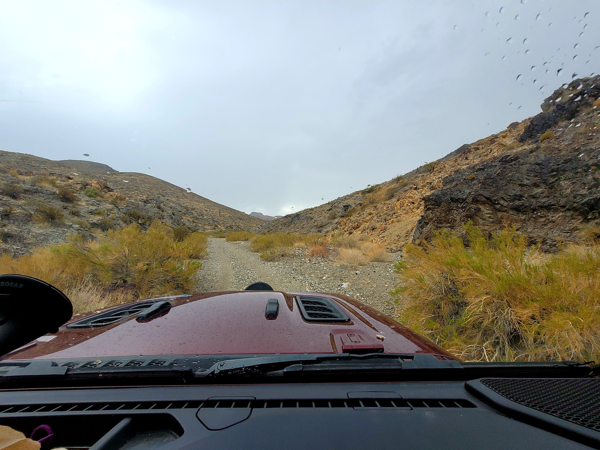
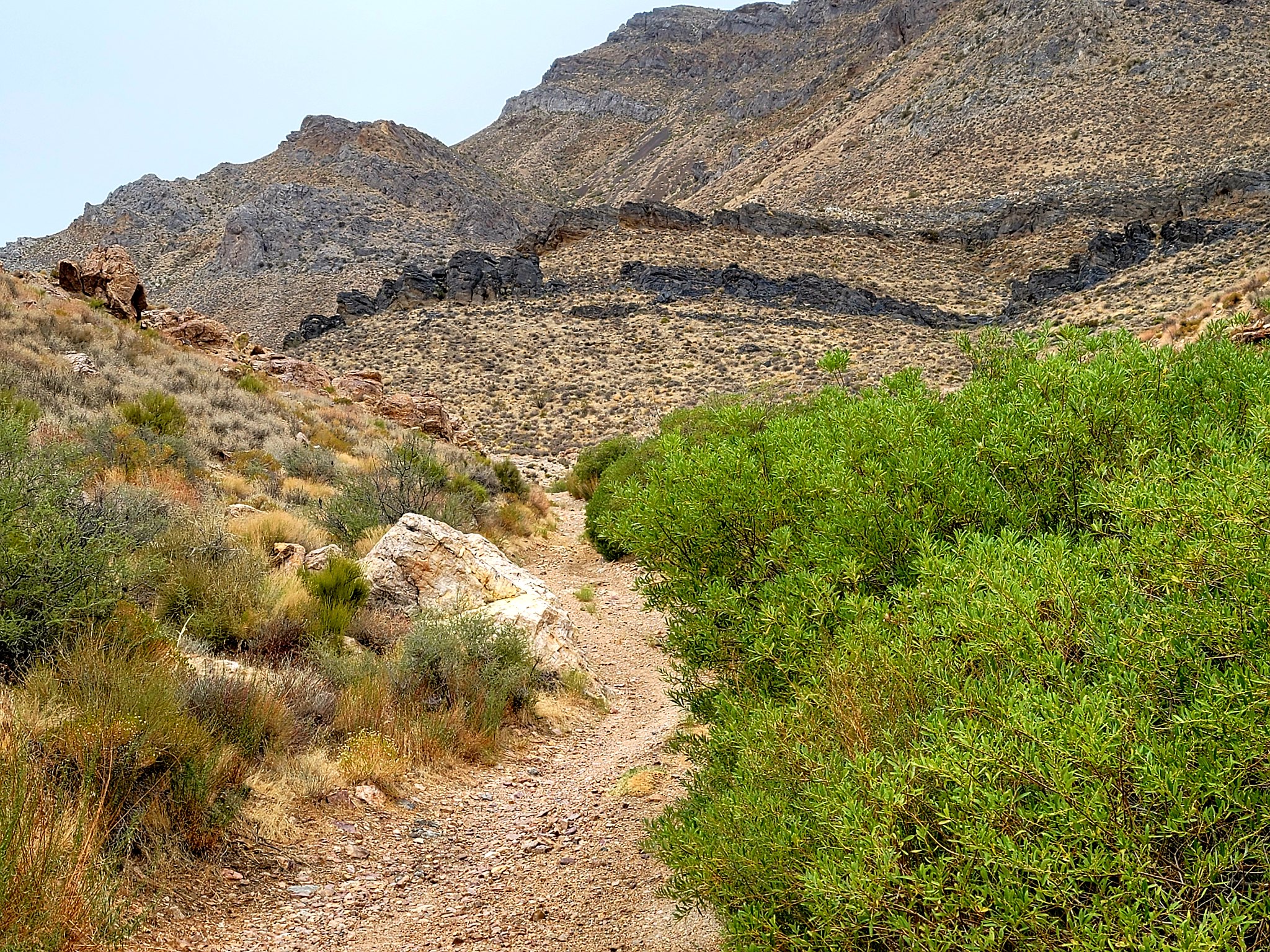
Out of the refuge we made our way up to Tarantula Canyon and this is where we got our second dose of rain on our summer trip through the desert. Go figure that we drive from the supposedly rainy PNW (it's super dry right now) to one of the driest areas in the country and get multiple rain storms. Anyway, Tarantula Canyon follows Hwy 95 but there is a high ridgeline separating them and because of this I think it's kind of a hidden gem in the area. We only got a couple of pictures because of the rain but this is another area we would love to come back to.

20210721_123450 by Wayne Larson, on Flickr

20210721_124302 by Wayne Larson, on Flickr

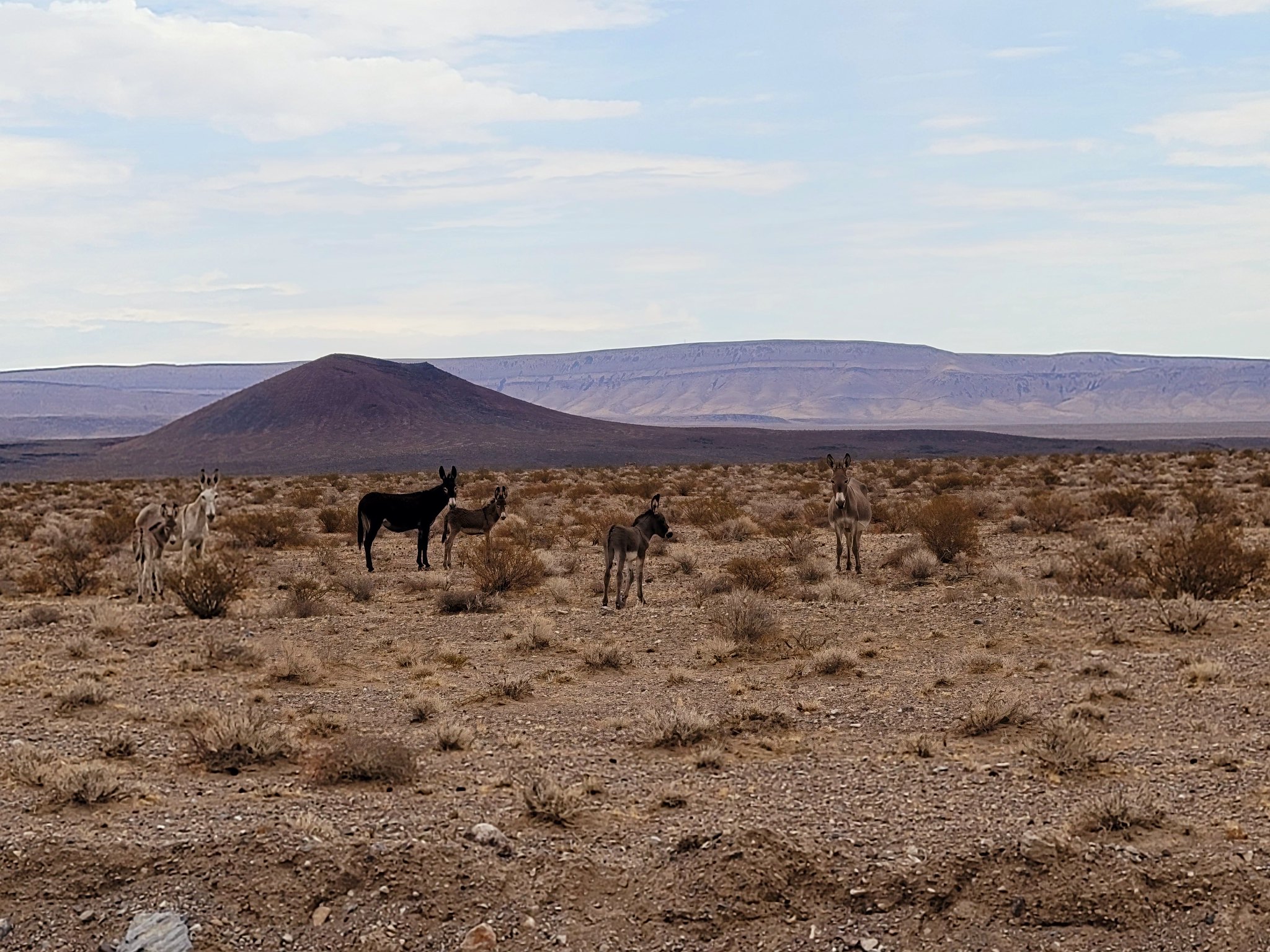
On the way down from the canyon we came across another herd of burros but this time they were a bit more cautious and kept there distance.

20210721_121636 by Wayne Larson, on Flickr

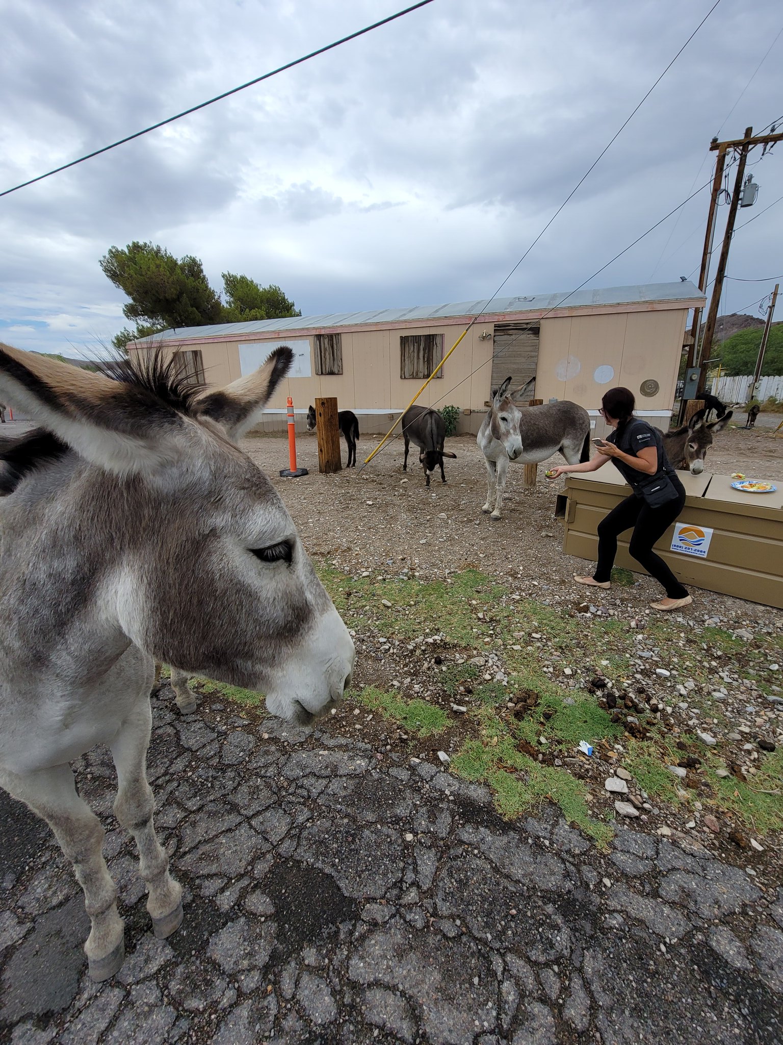
But when we got into Beatty there was yet another herd of burros right in town. They seem to do really well in this area whether it's out in the sticks or in the little towns.

I personally like this picture with someone trying to give the burros taco ingredients as a snack. The look of the closest one just says "Really lady?"

20210721_131946 by Wayne Larson, on Flickr

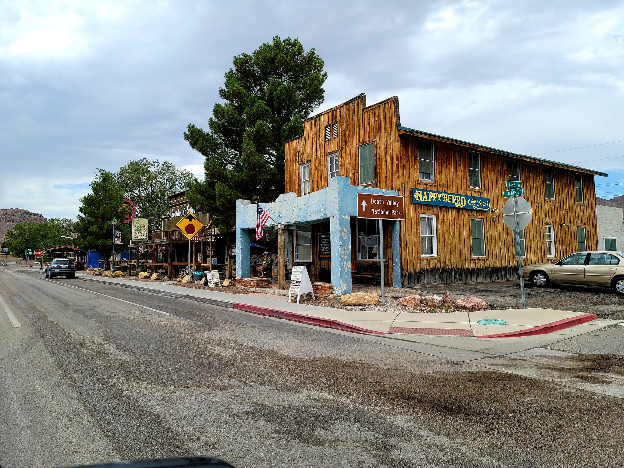
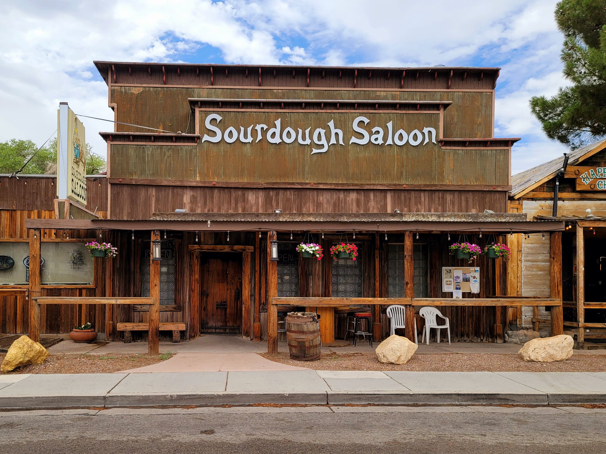
We only drove through Beatty after getting gas but it is the self proclaimed gateway to Death Valley and has some old timey looking things in town.

20210721_135134 by Wayne Larson, on Flickr

20210721_135137 by Wayne Larson, on Flickr

20210721_140835 by Wayne Larson, on Flickr
 
  • Like
Reactions: KAIONE

G0to60

Rank II

Enthusiast III

473
Milwaukie, OR
First Name
Wayne
Last Name
Larson
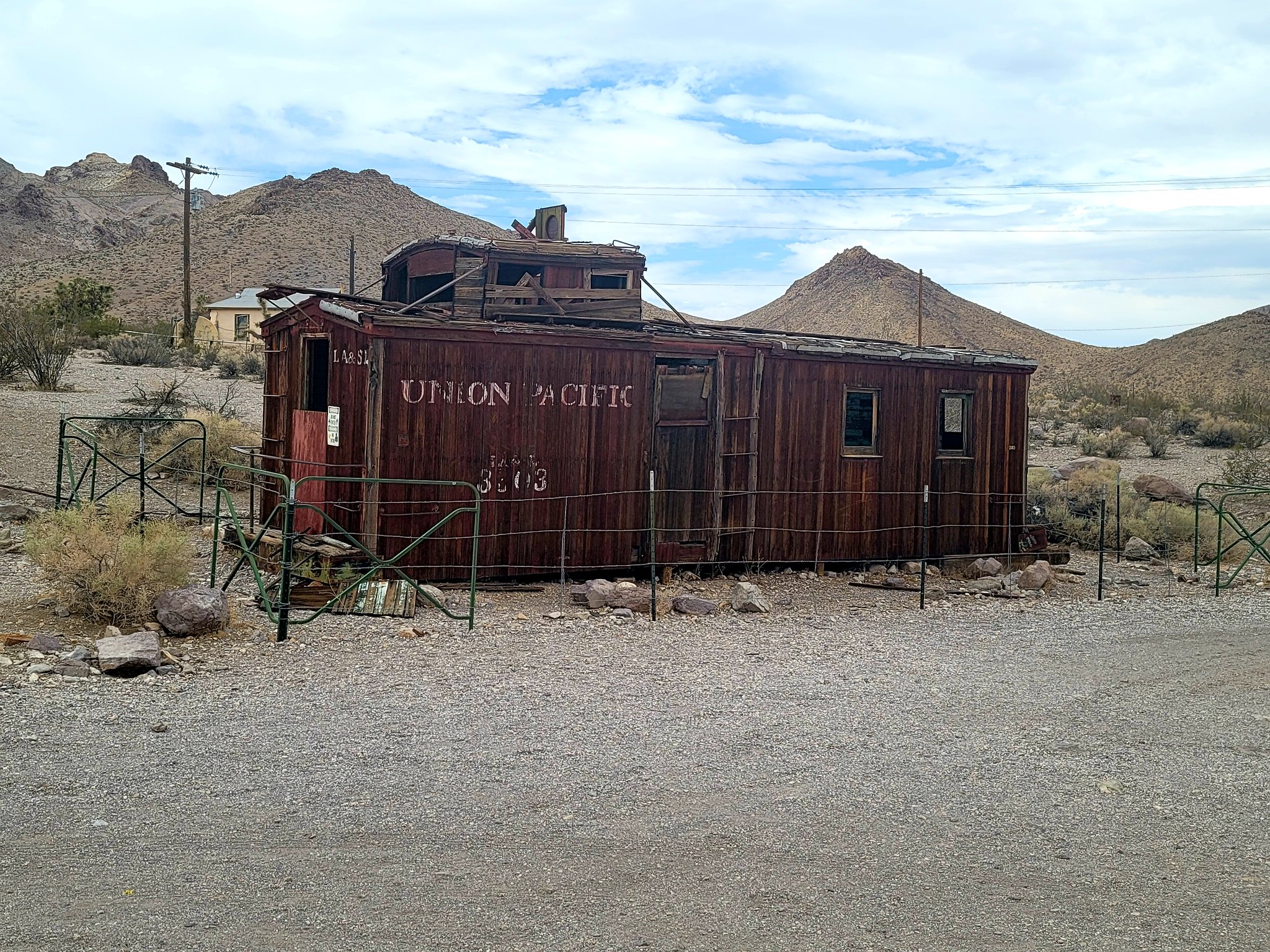
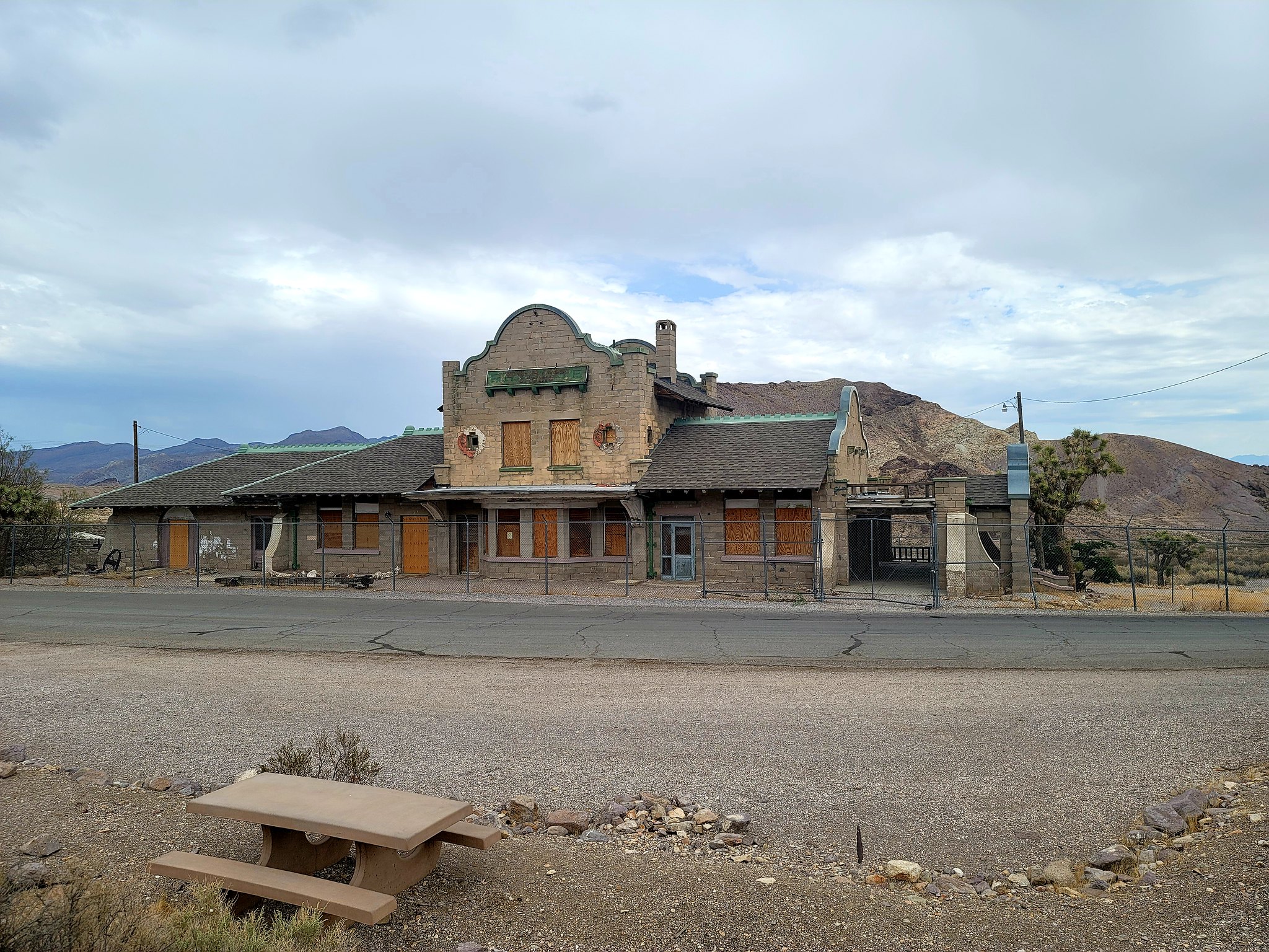
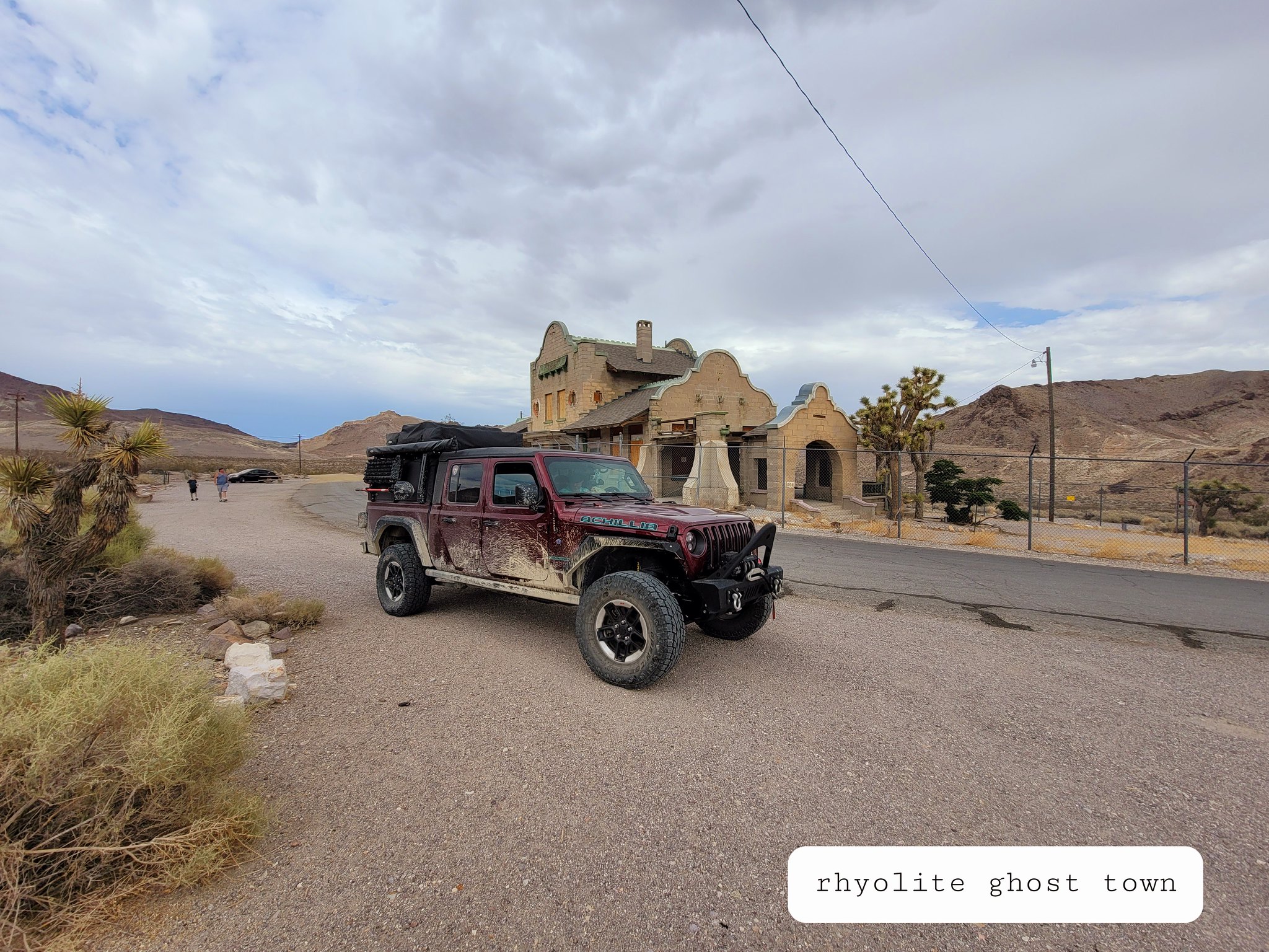
Just a few miles outside of town there is the ghost town of Rhyolite. Like all of the others it's an old mining town that exploded in the early 1900's but soon fell off in a short period of time.

20210721_141035 by Wayne Larson, on Flickr

20210721_141230 by Wayne Larson, on Flickr

20210721_141452 by Wayne Larson, on Flickr

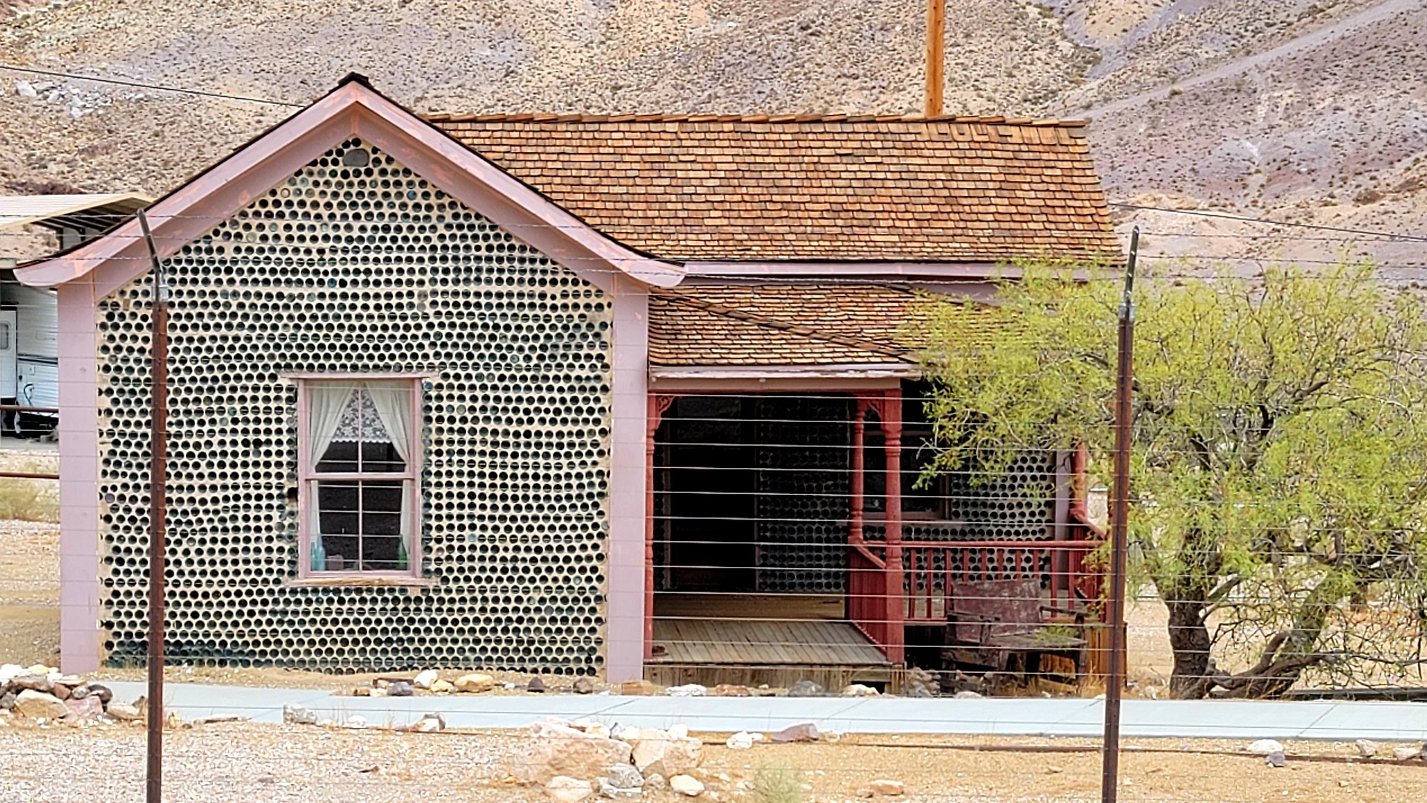
Just past the town we saw a weird glint off the side of the road and pulled in to see a house where nearly all of the walls were made of glass bottles. It turns out the a guy named Tom Kelley collected around 50,000 bottles from the local saloons (there were many back then) and built this three room house. He never lived in it but raffled off tickets after he was done and the winning family lived in the house until the early 1920's. It is now a museum but was closed when we drove by.

20210721_144050 by Wayne Larson, on Flickr

20210721_143802 by Wayne Larson, on Flickr

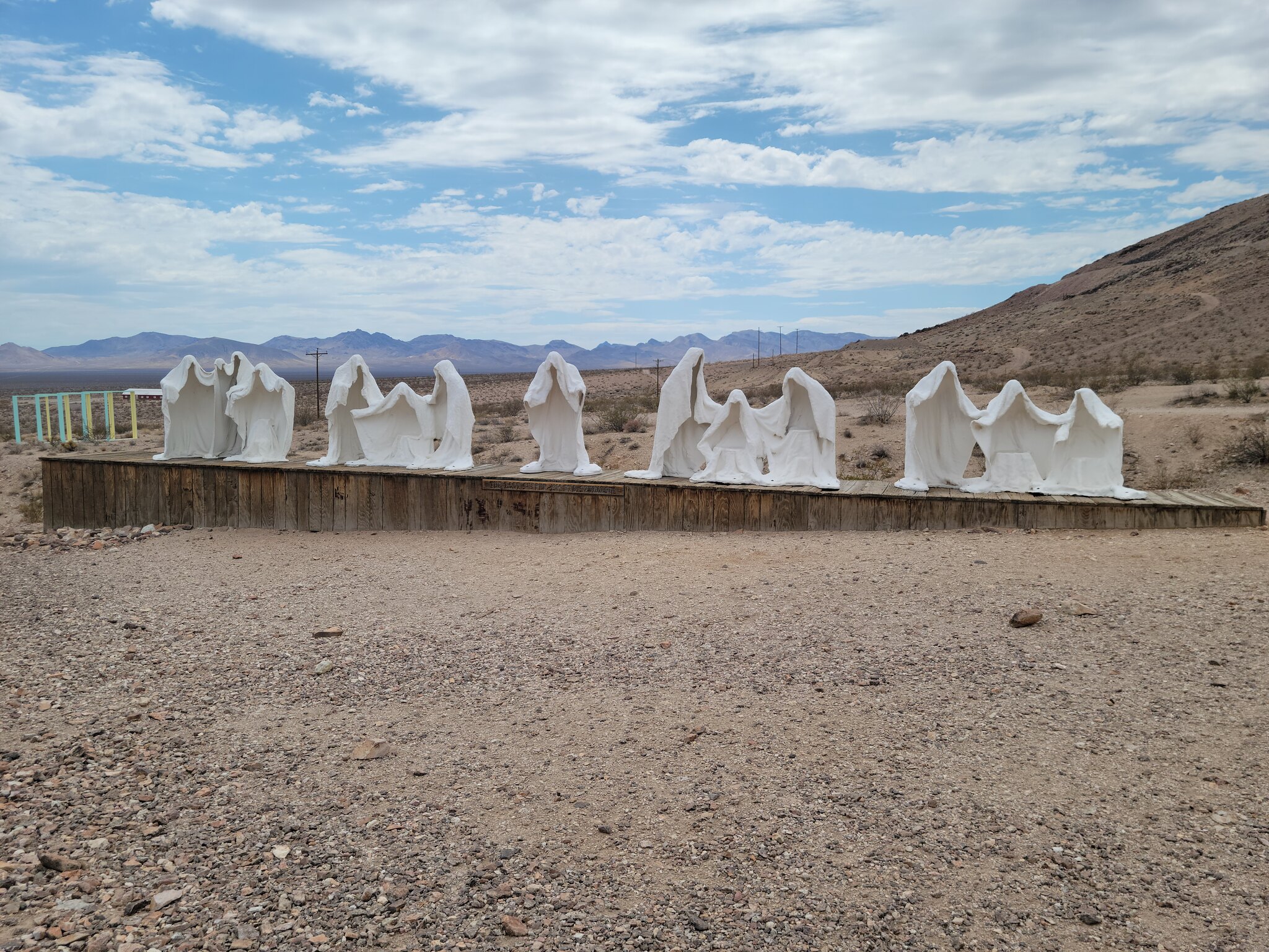
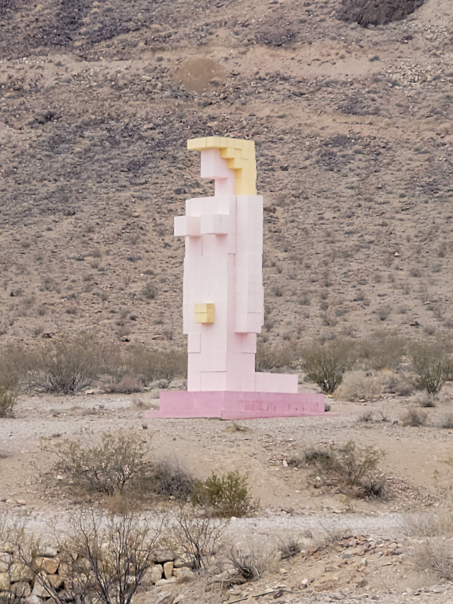
And to top things off across the road from this glass house was another "museum" that had some very unique sculptures outside. My wife was thoroughly creeped out by all of it so I popped out and got a couple of pictures. We didn't stick around to read why these were made so I'll leave that up to your imagination.

20210721_144654 by Wayne Larson, on Flickr

20210721_144707 by Wayne Larson, on Flickr

We were now getting close to Death Valley NP and being the hottest area in the country usually we were shocked to see as we passed this sign that it was a brisk 85F outside. So nice!

20210721_145826 by Wayne Larson, on Flickr
 
  • Like
Reactions: KAIONE

G0to60

Rank II

Enthusiast III

473
Milwaukie, OR
First Name
Wayne
Last Name
Larson
There isn't much out in this area as can be expected so after a bit we decided to stop and stretch our legs and let the dogs wander around for a bit. Adventure Cat could not be disturbed from his mid afternoon nap and never even knew that we stopped.

20210722_155135 by Wayne Larson, on Flickr

20210722_155138 by Wayne Larson, on Flickr

After the long slog through the flats of the desert the track started to head up in elevation. Soon we started seeing signs for the Hard Luck Mine Castle and this seemed odd for the middle of nowhere. Apparently this is still a private residence so we couldn't check it out but it looked very interesting and it had a green house topper that must have an amazing view of the valley.

20210721_164945 by Wayne Larson, on Flickr

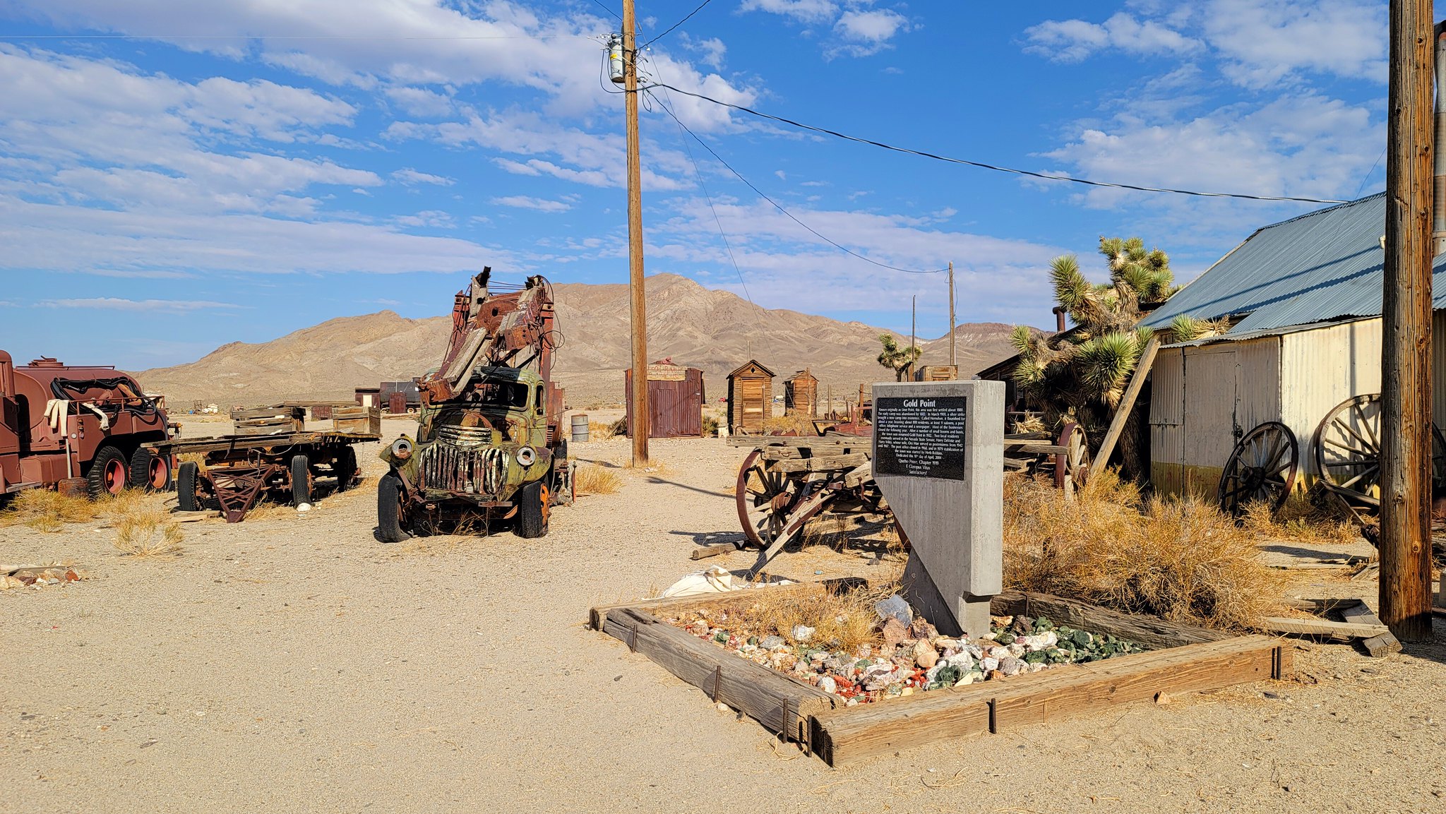
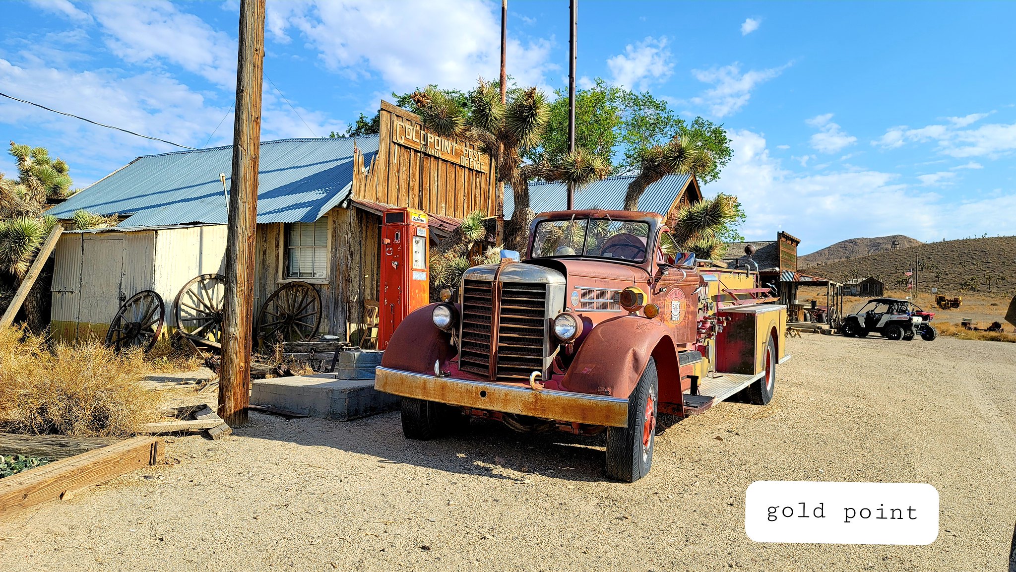
Next up was our next fuel stop in a small town called Gold Point. We were basing these stops on what others had posted but we didn't really NEED fuel with just over half a tank we decided that we shouldn't pass up fuel just in case. Well, as you can maybe guess there is zero fuel available in this town. It is considered a ghost town but there were several residences and we saw many side by sides (the commuter of choice in these type of towns) and, oddly, many old fire engines. Not sure of the reason for the fire engines being brought here but there they were.

20210721_171937 by Wayne Larson, on Flickr

20210721_171942 by Wayne Larson, on Flickr

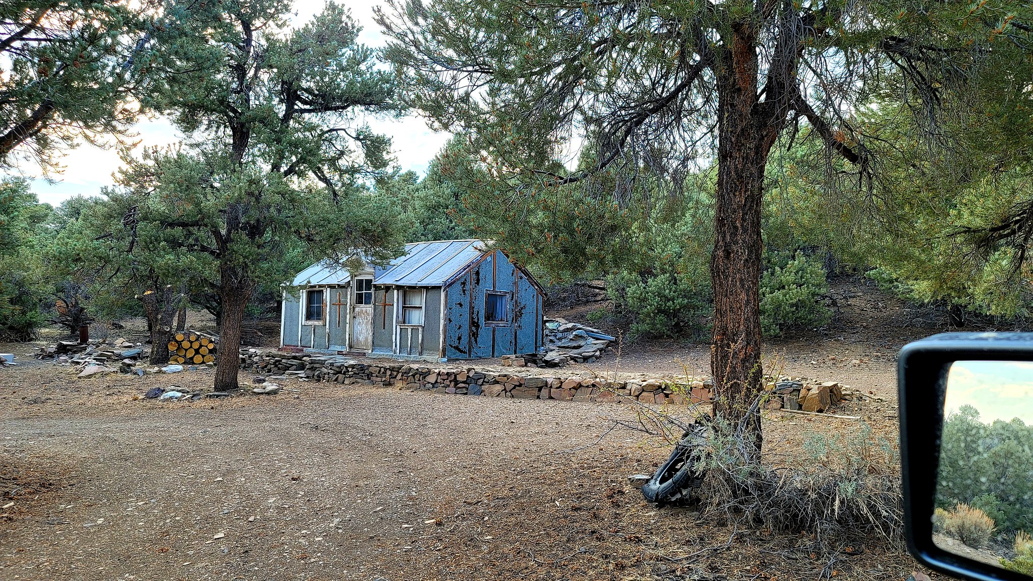
Not having fuel in Gold Point was slightly concerning but we had to press on because the next fuel stop was closer then turning around. Like I said we had about half a tank so it would be close. Regardless, we were getting to the point in the day where finding a camp was on our minds. We were getting into the Cucomongo Mountains that get above 7000 so we didn't really need to worry about the heat but for the first time we might need to bundle up for the cold. As we head up in elevation we keep eye out for good places to stop and soon we find a cabin in the woods. Now, I never watched the movie but I have a feeling that this is what it was based on. Super creepy shack with fresh cut wood and no one around for miles. I put the idea out that we should just camp here for the night but was quickly veto'd and we went up the track for several miles before finding a much better place.

20210721_182551 by Wayne Larson, on Flickr

20210721_182716 by Wayne Larson, on Flickr

We found this nice spot just off the road in some trees so this would work. Still a bit too close for comfort to the cabin but there wasn't anything else.

20210721_193307 by Wayne Larson, on Flickr

Adventure Cat approves and is always ready to pose for the camera.

20210721_193342 by Wayne Larson, on Flickr

Up next will we make it to the next fuel stop, we visit an automotive forest, we discover that we are missing a couple of pieces of the Jeep, and we drive along a pretty well known route from the 1800's.
 

G0to60

Rank II

Enthusiast III

473
Milwaukie, OR
First Name
Wayne
Last Name
Larson
After surviving the night near the creepy cabin in the woods we had the next worry of will we make it to our next fuel stop in Tonopah. It was another 75 miles to get there from out campsite and the Jeep gave us an estimate of 100 miles to empty. Not the kind of margins I like to see but we had no choice but to give it a go. A couple of things on our side was it was downhill for quite a bit and we had the option to cut over to Hwy 95 for the final stretch so even if we ran out we could probably flag someone down for a ride. For now it was time to hit the road down the mountains. Nevada really did surprise us with it's diversity. Just the previous day we were skirting Death Valley and now we were topping 7000 in a forest.

20210723_163654 by Wayne Larson, on Flickr

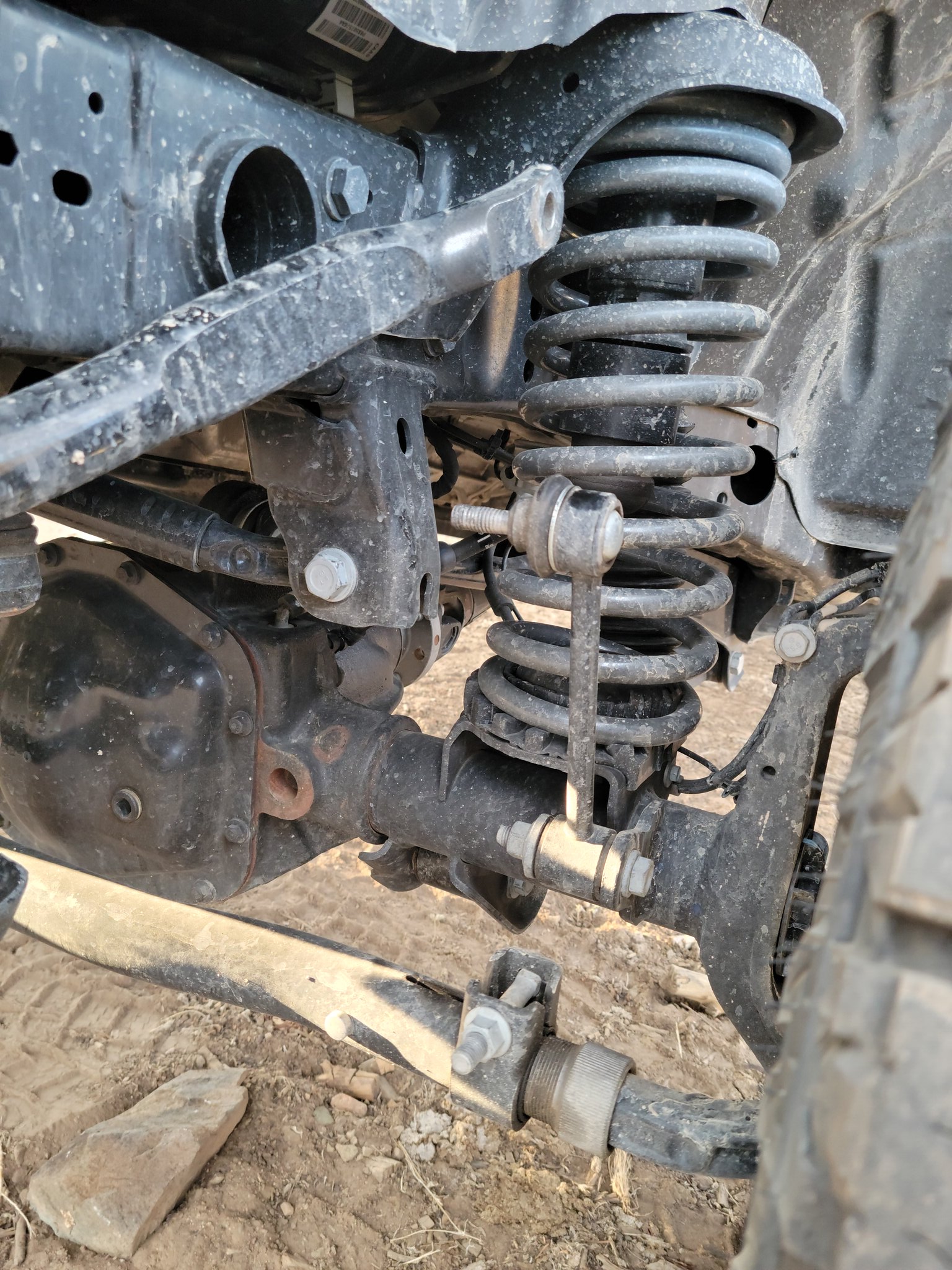
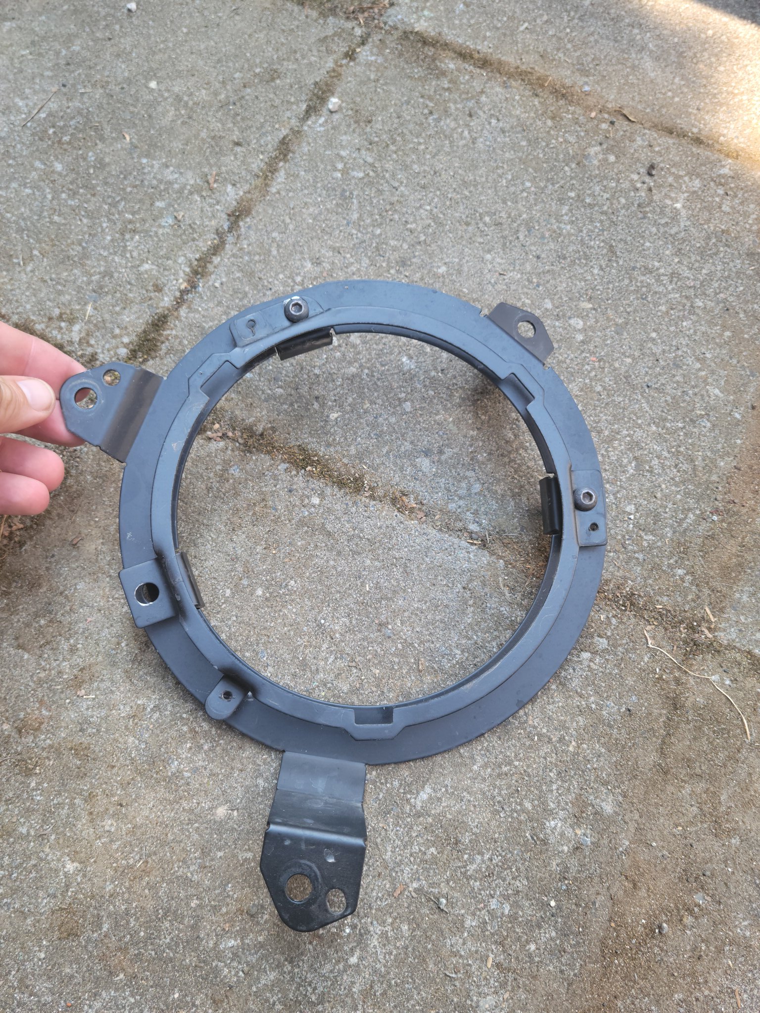
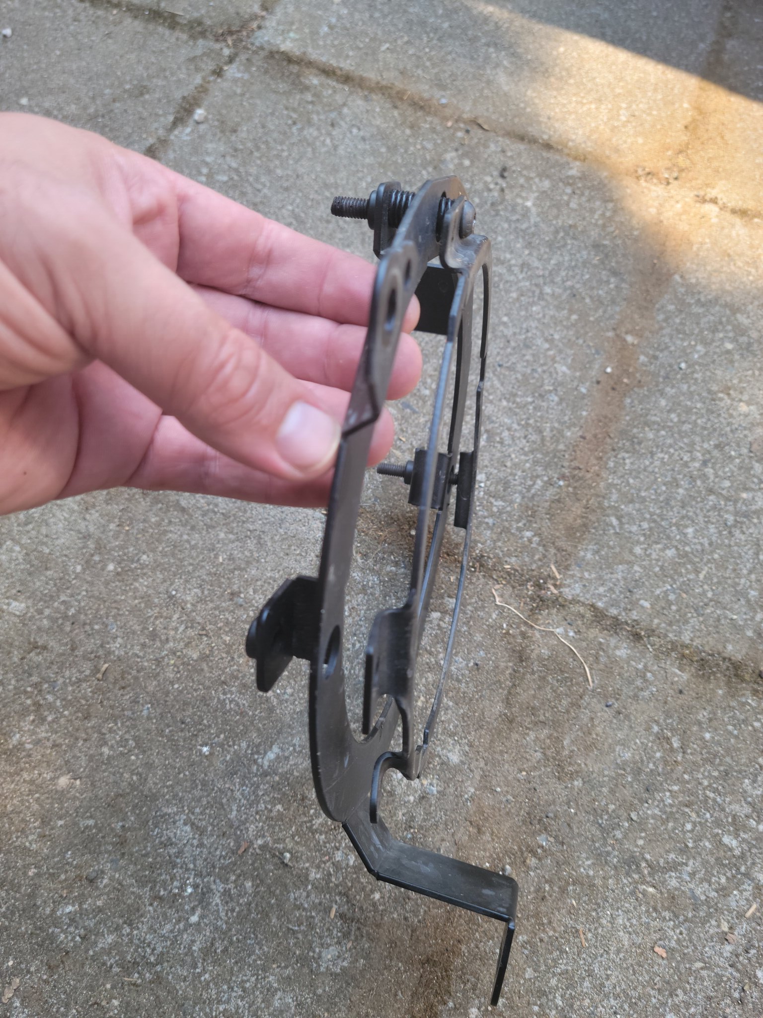
There was a small town along the way called Goldpoint and this is where we stopped at the Car Forest to check it out. This is also where we found out that we were missing some parts to the Jeep. First off was the DS front sway bar bolt had decided to stay on the trail. We think it had rattled loose on one of the very long, straight stretches where we could get up to 45-50 mph and then fully came off when we got a little flexy in a washed out canyon (two things that we didn't get pictures of and now regret). That same road or one like like also shook loose the headlight brackets so that they were barely hanging on and finally the rear bumper drawer latch was stuck open due to some grit getting down in there. With all of this we, again, neglected to take pictures of the Car Forest so we failed in many respects. If you want to see pics of the parts go up a few posts to check them out.

20210721_190008[1]
by Wayne Larson, on Flickr

20210722_125828[1] by Wayne Larson, on Flickr


20210802_143223[1]
by Wayne Larson, on Flickr

20210802_143237[1] by Wayne Larson, on Flickr

After all of that was "fixed" we headed off to Tonopah and made the decision to stick to Hwy 95 instead of heading slightly east on the track. This was probably a good call because we rolled into the gas station with the gas light on and an indicated 30 miles remaining. Way too close for comfort. Also, I don't know if I could get comfortable in one of the local motels in Tonopah called the Clown Motel.

20210722_134412 by Wayne Larson, on Flickr

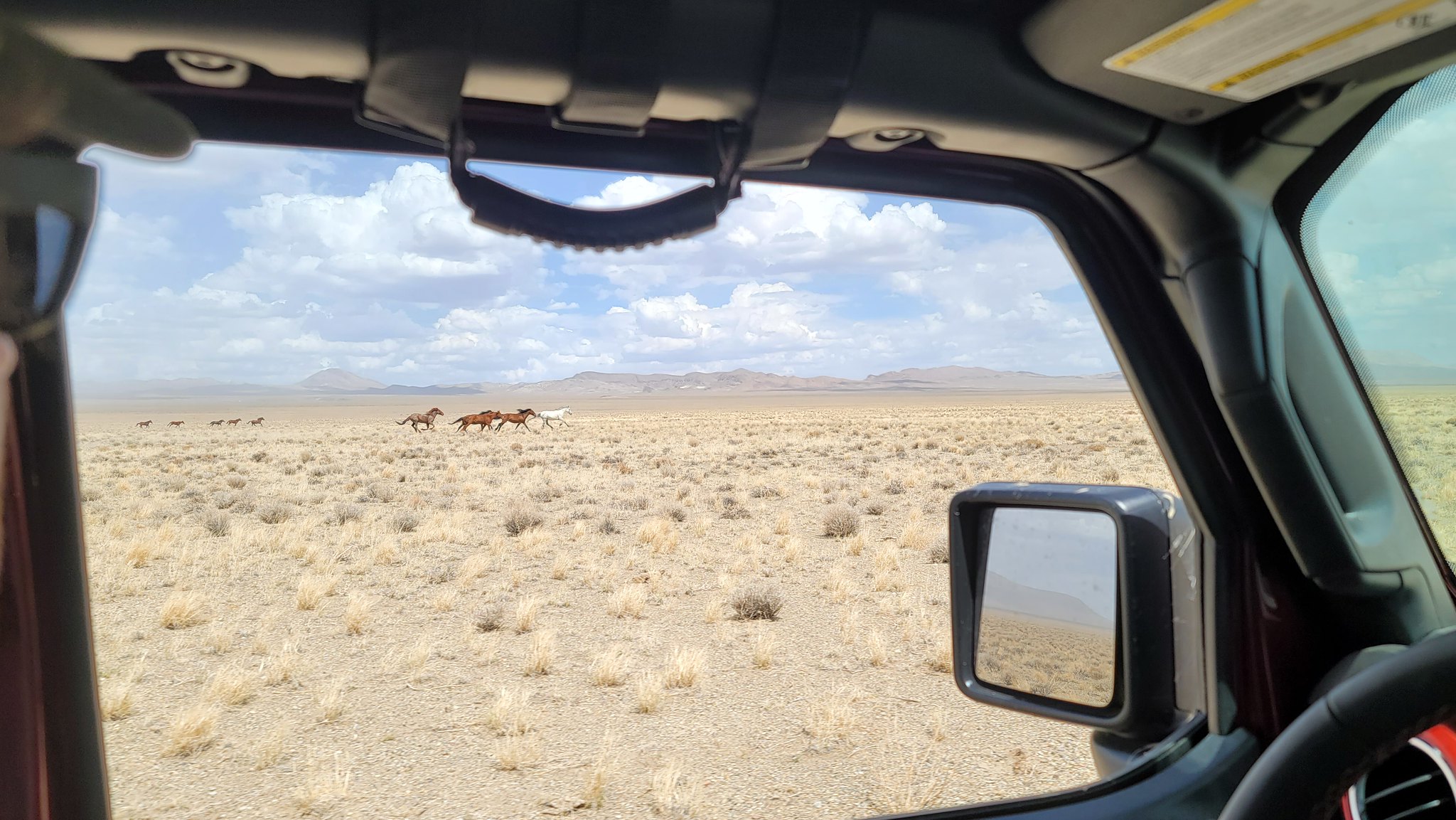
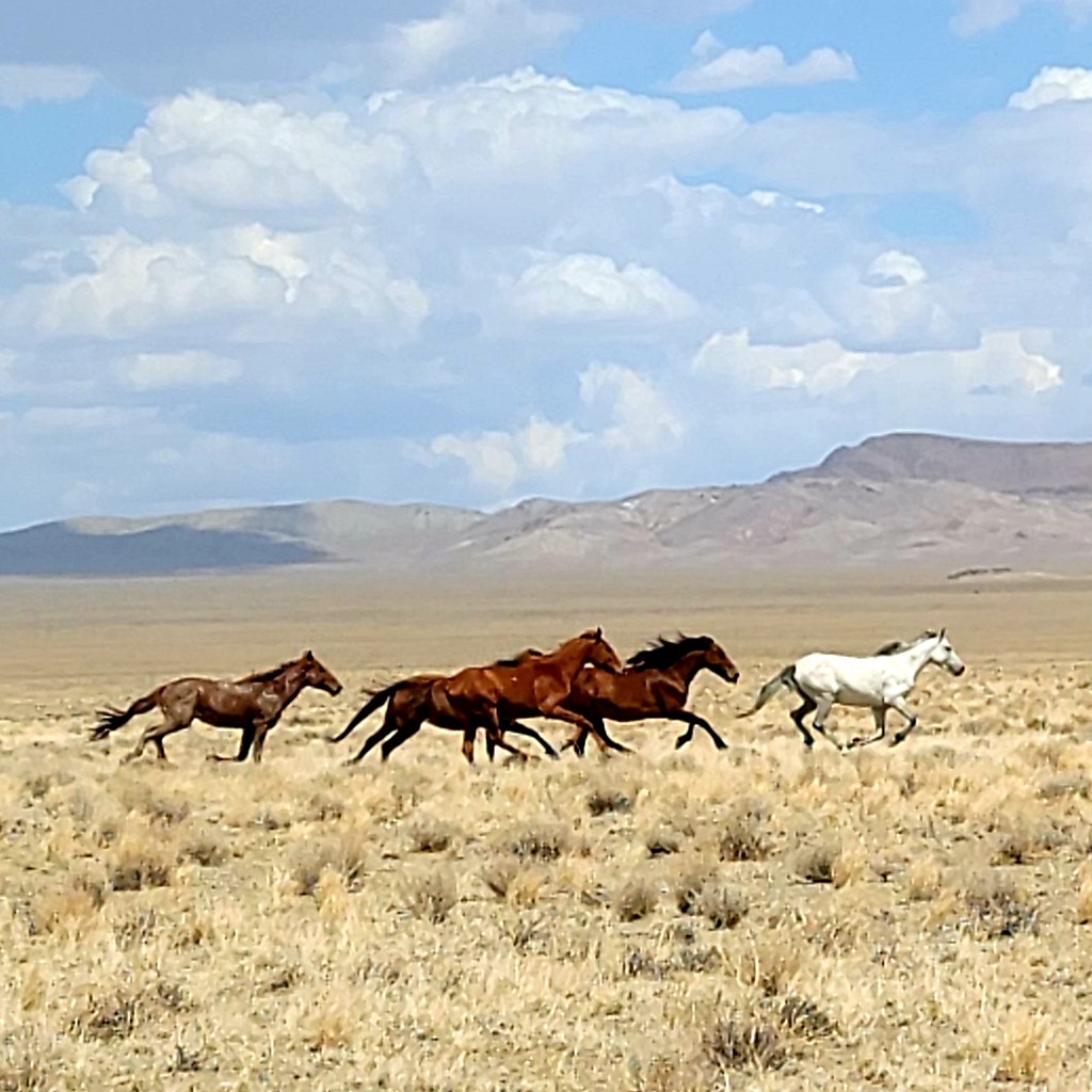
These next two stages were the longest between fuel stops so we filled up the Jerry can to start on the 175 mile stretch to Austin, NV. We needed to make up some time so there wasn't much stopping along here but that doesn't mean that we didn't see some pretty cool stuff. The best was when we came up to some wild horses that were galloping next to the road while we were driving along. So cool!

20210722_143210 by Wayne Larson, on Flickr

20210722_143214 by Wayne Larson, on Flickr

It's really tough being an Adventure Cat and a Romeo. They had the best seats in the house.

20210723_110913 by Wayne Larson, on Flickr

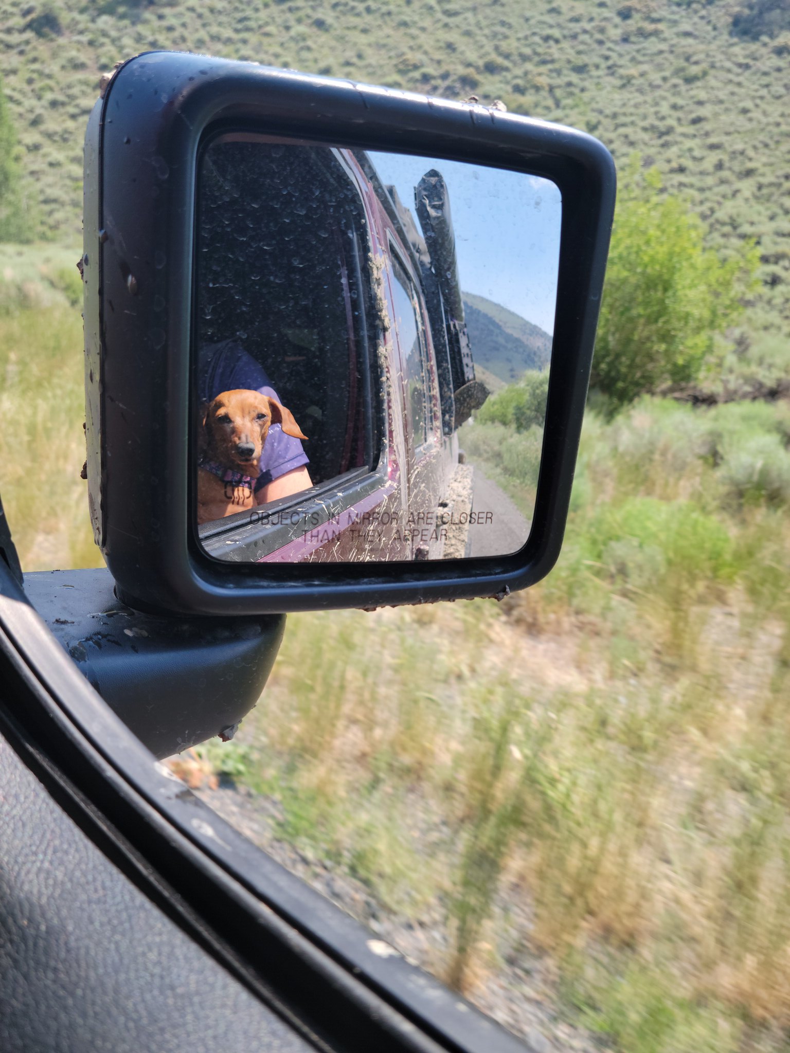
Mya also enjoyed some window time when we had to take it a bit slower through some technical stuff.

20210723_113819 by Wayne Larson, on Flickr
 

G0to60

Rank II

Enthusiast III

473
Milwaukie, OR
First Name
Wayne
Last Name
Larson
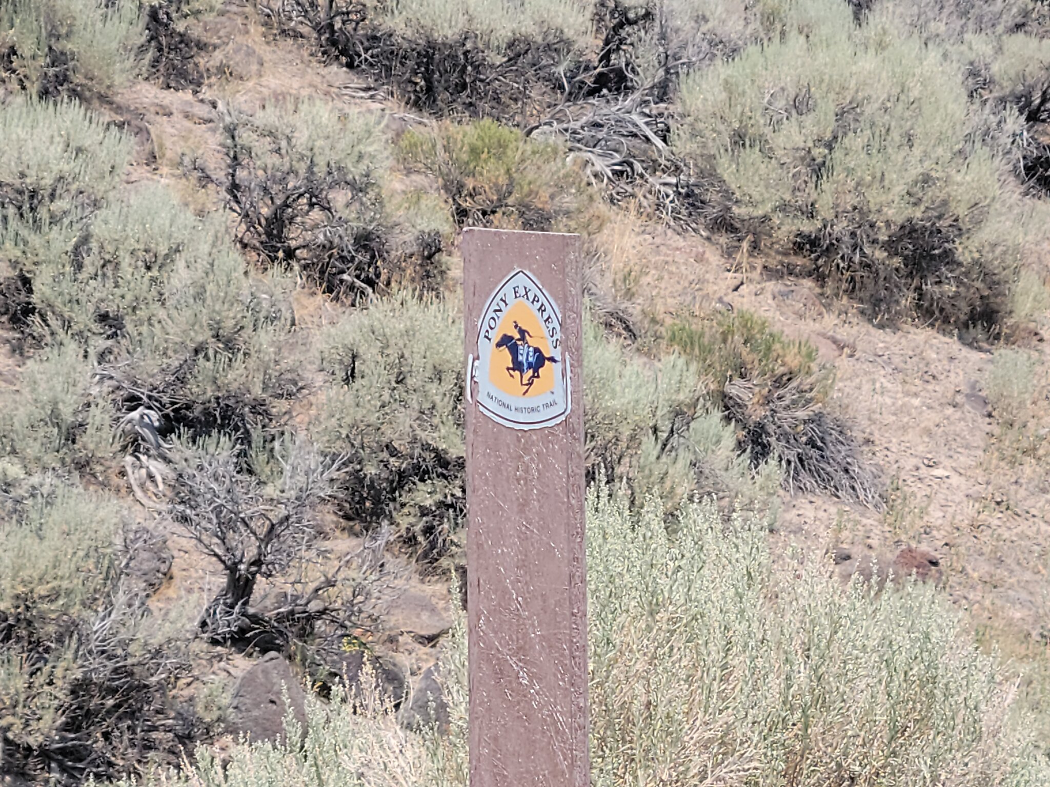
And as if it were meant to be we ended up driving along the famed Pony Express route. From what I've read they could ride from Missouri to California in about 10 days which just seems incredible at seeing the terrain that they went across.

20210723_140824 by Wayne Larson, on Flickr

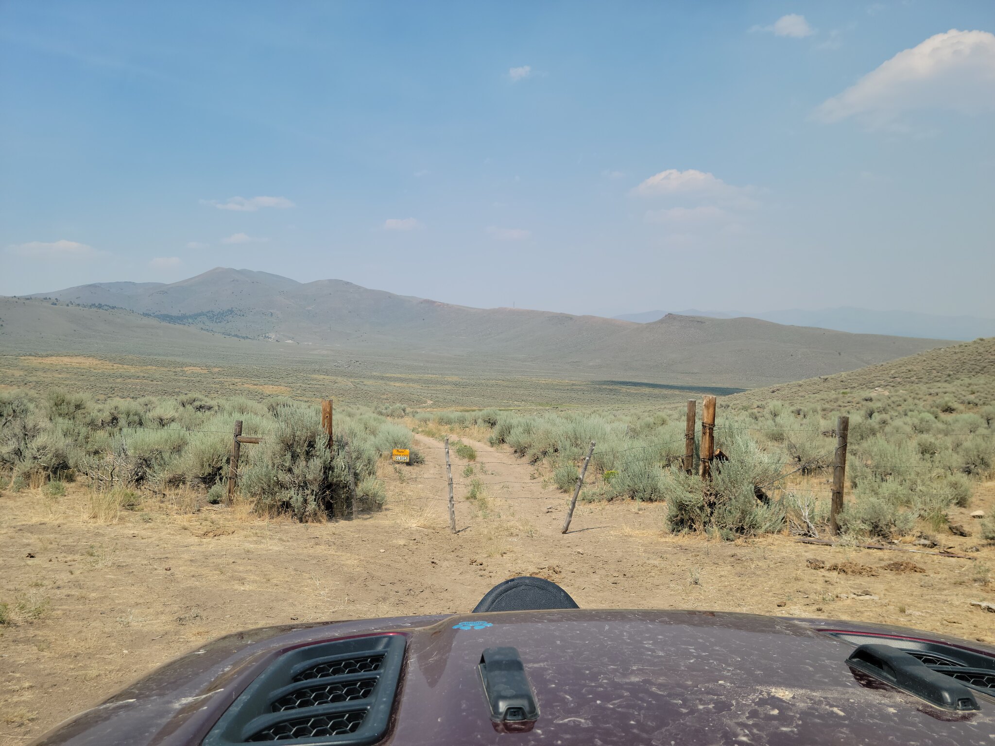
This was also the beginning of the many, many gates that would come across. The rule is that you leave the gate as you found it so whoever was passenger got the job of opening the gate while the driver passed through and then closing it again. My wife and I split driving duties but for whatever reason I was almost always driving when we came to a gate. In the end I opened two gates and my wife did the other twelve.

20210723_135829 by Wayne Larson, on Flickr

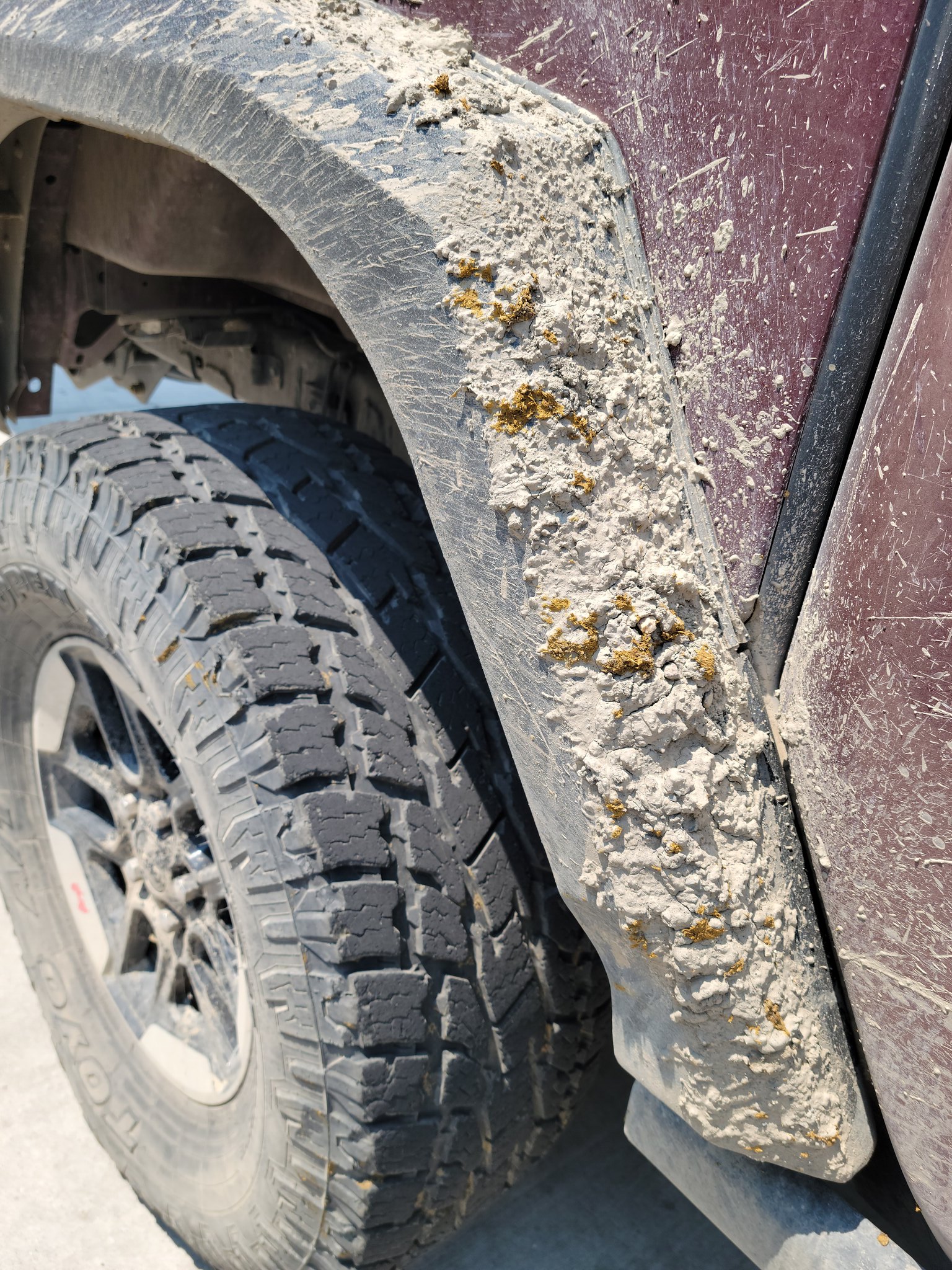
You may be asking what these gates were holding in way out here on BLM land. Well, cattle ranchers use the land for their herds and where there is cattle there is what they leave behind. That is some funny smelling mud on that fender.

20210723_130134 by Wayne Larson, on Flickr

Like I said we had to make up some time but towards the end of the day we stopped in the town of Belmont, NV and stopped in the local saloon. I'm glad we did because we got to talk with several of the locals while we had a drink and if you ever get the chance to chat with the locals of a town with the population of maybe a hundred you should do it. The big hubub was that the town of Belmont was no longer a town because the gobermint stole that from them and it was merely an unincorporated village. Good stuff.

20210722_165718 by Wayne Larson, on Flickr

The end of the day was coming and there is a campground in Belmont but we decided to get in a few more miles down the road. Just out of town we pulled off the "main" road onto a narrow track and were soon questioning if this was the right way. The brush was pretty tight to the track and was about as tall as the Jeep.

20210722_162505 by Wayne Larson, on Flickr

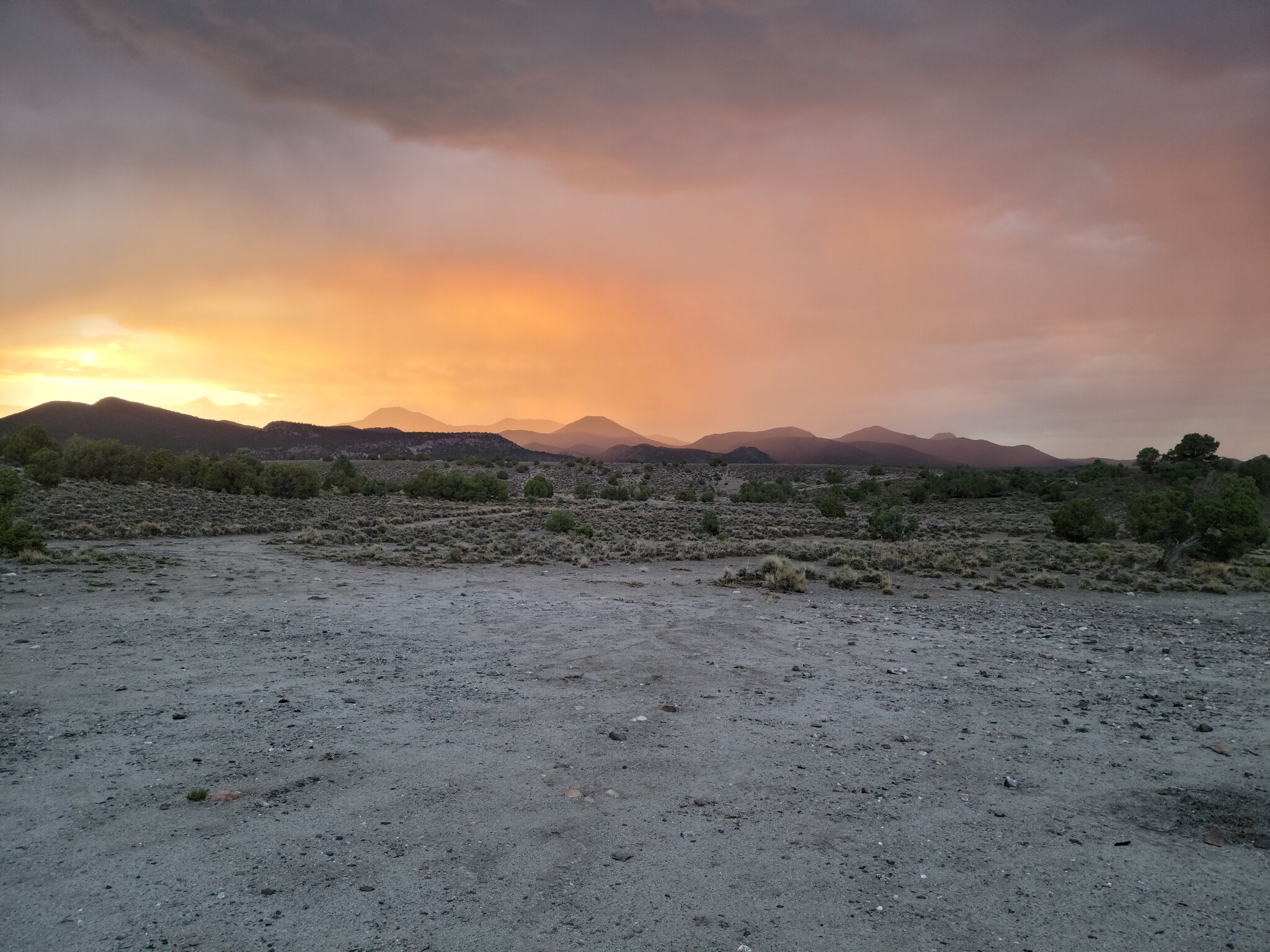
This was the correct track but we ended up pushing it a little too far because about 30 minutes after we set up camp a thunderstorm rolled over us. We skipped dinner and hunkered down in the tent with all the windows closed as the wind and rain came tearing over us. Right before sunset I popped out of the tent to see what it was like outside and was greeted by an amazing light show from the setting sun. Even with the storm it was a good end to the day.

20210722_194509 by Wayne Larson, on Flickr

20210722_195636 by Wayne Larson, on Flickr

20210722_195642 by Wayne Larson, on Flickr

Next up we have our longest day of the trip, climb over a couple of mountain ranges, travel on more historic trails, and pass by some of the strangest piping we've seen.
 

G0to60

Rank II

Enthusiast III

473
Milwaukie, OR
First Name
Wayne
Last Name
Larson
We left off with a pop up thunderstorm rolling over camp. The wind and rain didn't stop until well after dark so we decided to just grab some snacks instead of dinner and hunkered down in the tent. Usually we have at least one window open for Adventure Cat to watch the night time world go by but with the weather everything was closed up. You ask, what is it like sitting in a 4' wide x 8' long x 4' tall tent with two adults and three pets including Adventure Cat's indoor plumbing? It's not too bad with the windows open but gets a little stuffy when they are closed. Since he couldn't watch his nightly shows Adventure Cat decided it was time for another nap. The other two dogs make room for themselves wherever looks good at the time.

20210721_212604 by Wayne Larson, on Flickr

20210721_212203 by Wayne Larson, on Flickr

The next morning we were greeted by a wonderful morning. Not hot but nice and clear. Since we essentially skipped dinner breakfast was a must so bacon it is!

20210723_072120 by Wayne Larson, on Flickr

20210723_072443 by Wayne Larson, on Flickr

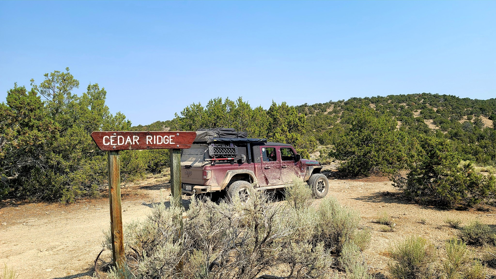
Once we had eaten and packed up we had a decision to make. Our next fuel stop would be Austin, NV about 90 miles up the track. Here could be a turning point. At this point it was Friday and both of us needed to be back in Portland for work on Monday. Once we got to Austin we still had about 430 miles of the track before we get to our ultimate ending in Twin Falls, ID then we still need to drive home to Portland. To drive straight home from Austin is about 640 miles but it would be on the highway and could be done in one day. The clincher was that it would be boring so, Ta da!, we pressed on! Little did we know this would be the longest day in both miles and time of the entire trip. We new of a campsite outside of a place called Cedar Ridge Wilderness Study Area but that was over 250 miles from our current campsite. Surely there would be a campsite a bit close. Surely . . .

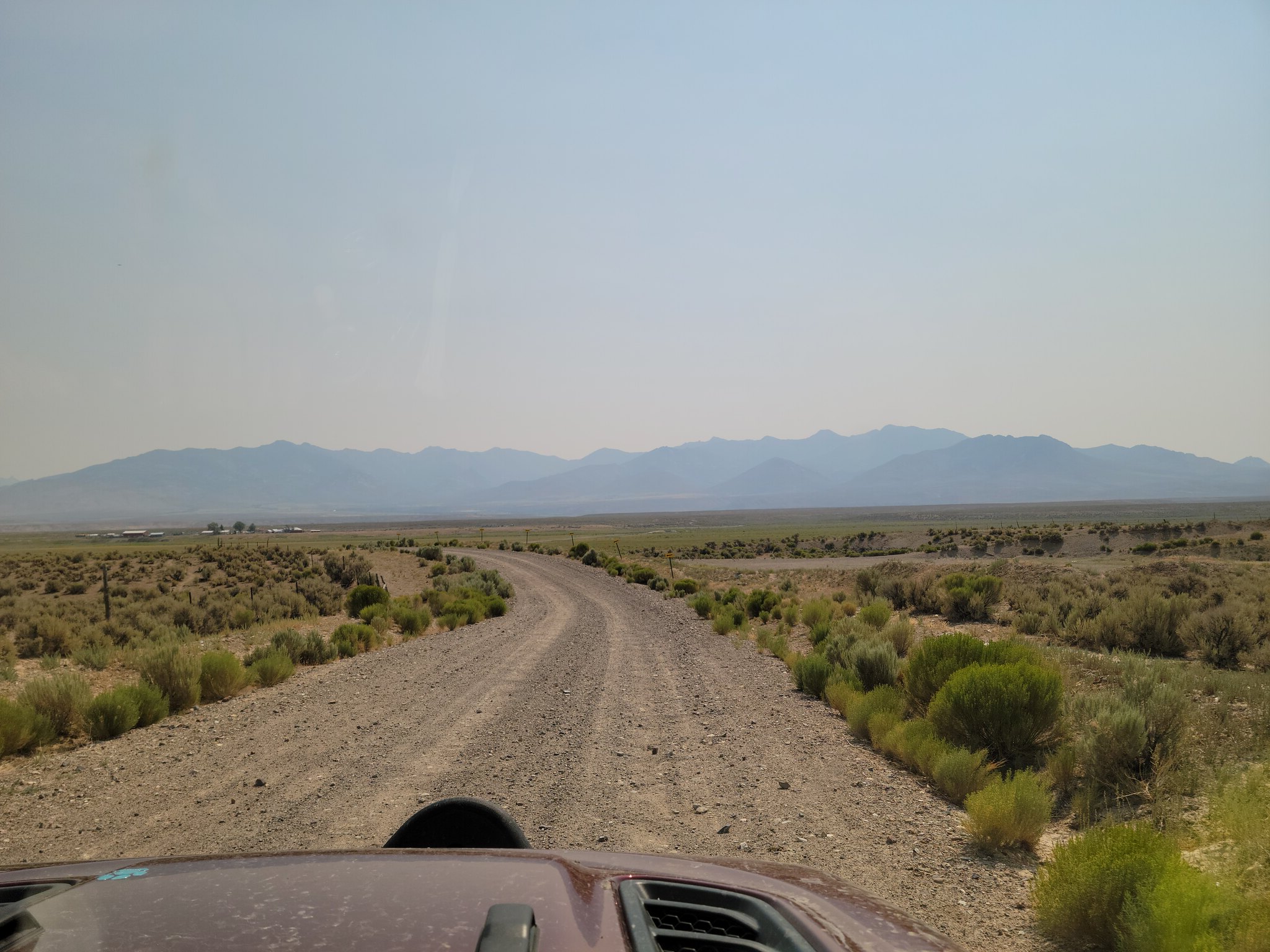
We start off and start heading to Austin. Our saving grace on this leg of the journey was that there were long stretches of flat, fairly smooth gravel roads between the mountain ranges. Here is where we made up time.

20210724_101644 by Wayne Larson, on Flickr

We also passed another 1800's trail by crossing over the California Trail.

20210724_105433 by Wayne Larson, on Flickr

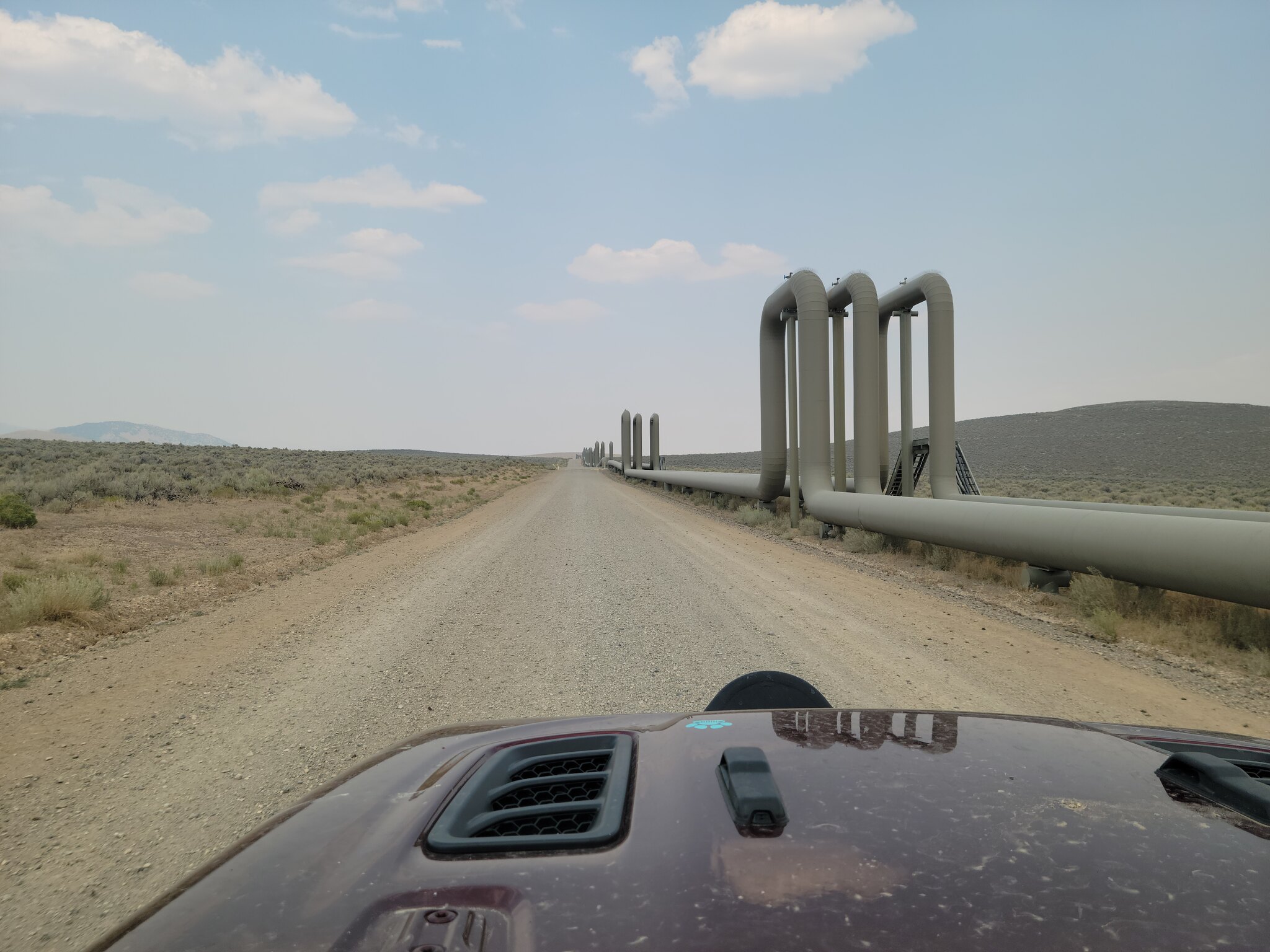
One of the reasons that the roads were so well taken care of was some type of oil or gas or some kind of energy infrastructure out there. I've never seen pipes laid out like this and it went on for miles and miles.

20210723_142317 by Wayne Larson, on Flickr

In between these big flat stretches we crossed over two mountain ranges. The first was Toquima Range that brought us up to around 8800 ft at Northumberland Pass and some amazing views. We saw signs of a few mines up ahead and assumed they were abandoned like all the others we had passed but this was still chipping away at the mountain.

20210723_114941 by Wayne Larson, on Flickr

20210723_102151 by Wayne Larson, on Flickr
 

G0to60

Rank II

Enthusiast III

473
Milwaukie, OR
First Name
Wayne
Last Name
Larson
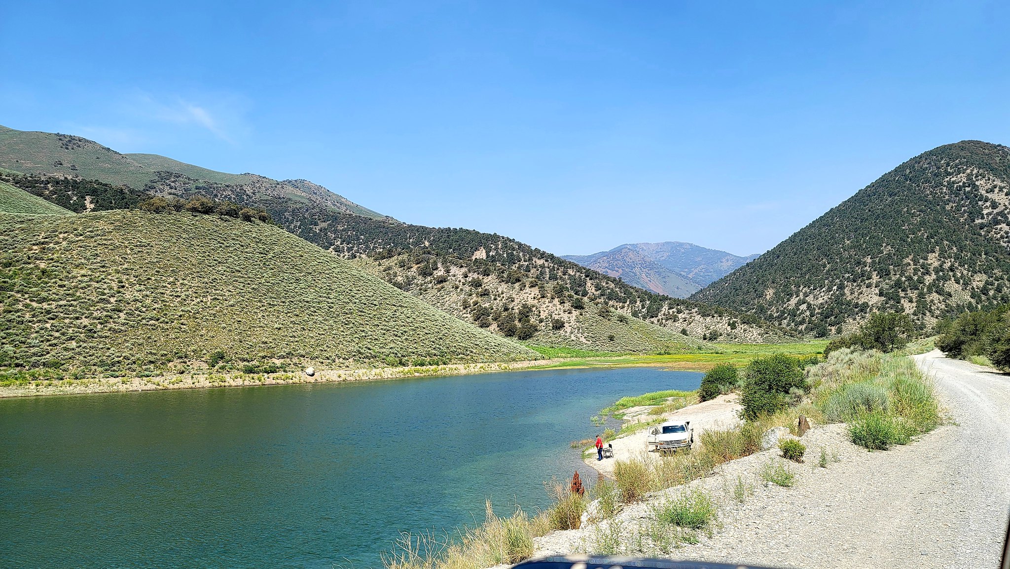
After another blast across Alkali Flat we went up into the Toiyabe Range and, at the time, some of nicest scenery we've gone through. We were now passing flowing water and lakes for the first time since the Colorado River and it was nice to see the lush green again.

20210723_112924 by Wayne Larson, on Flickr

20210723_120914 by Wayne Larson, on Flickr

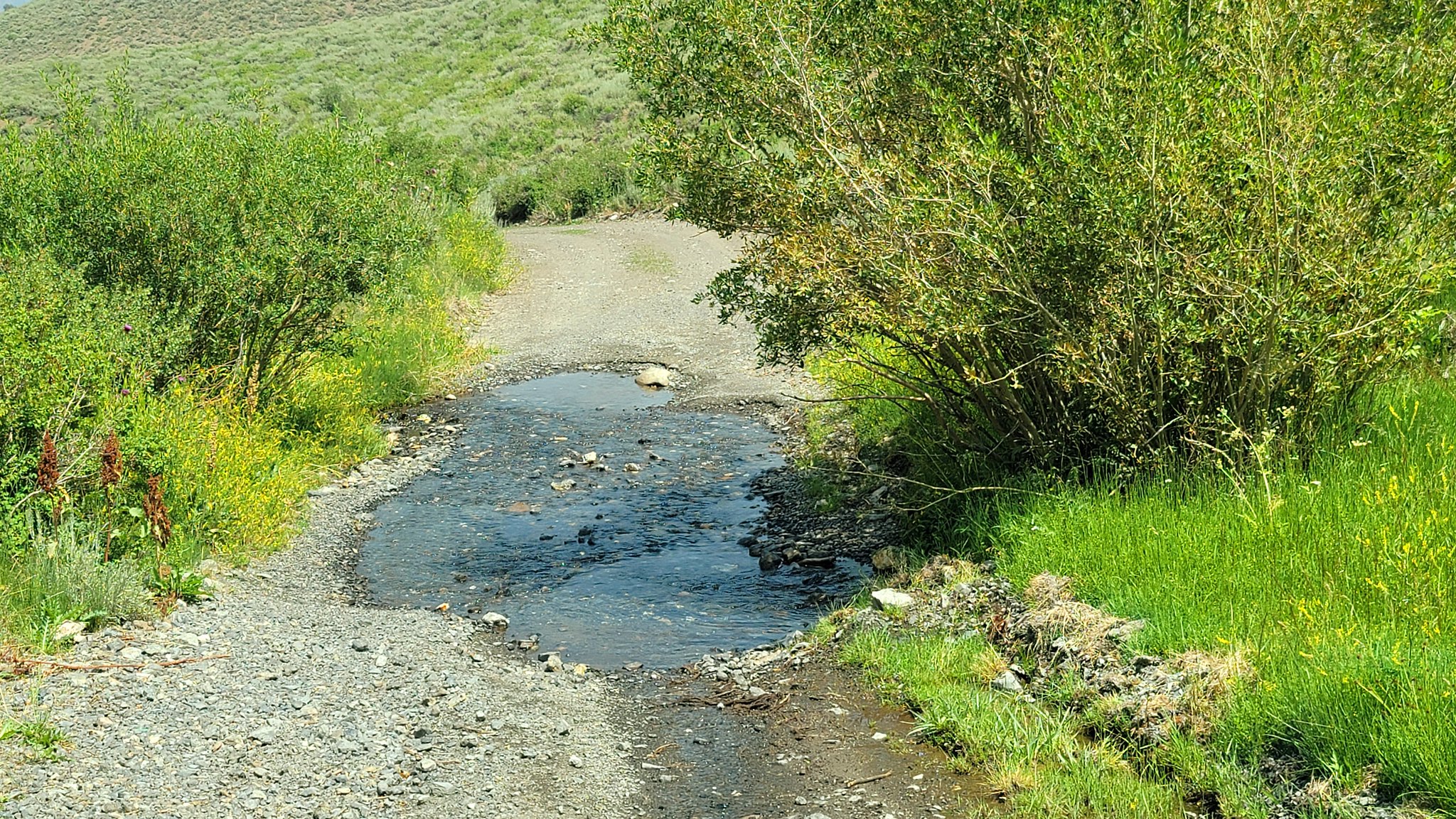
We also crossed this stream several time heading down the other side of the range. We typically try to avoid crossing streams if it at all possible but we were pretty much following it down the mountains. We made sure to go slowly as to not stir up too much silt and since it was pretty shallow this wasn't hard.

20210723_120334 by Wayne Larson, on Flickr

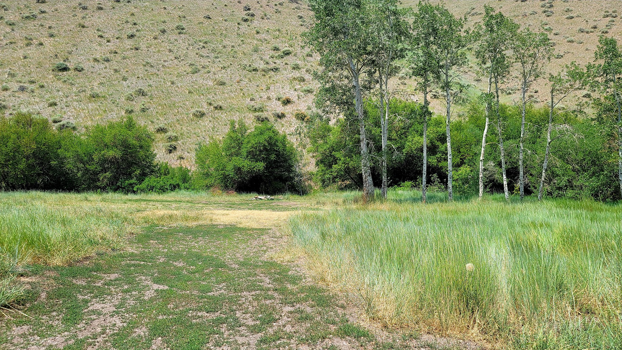
This range had several potential camping spots but it was still very early in the day so we carried on. Little did we know there wasn't going to be much camping for a very long time. This was one of the ones that we marked for future reference and would have been perfect if we had more time.

20210723_121330 by Wayne Larson, on Flickr

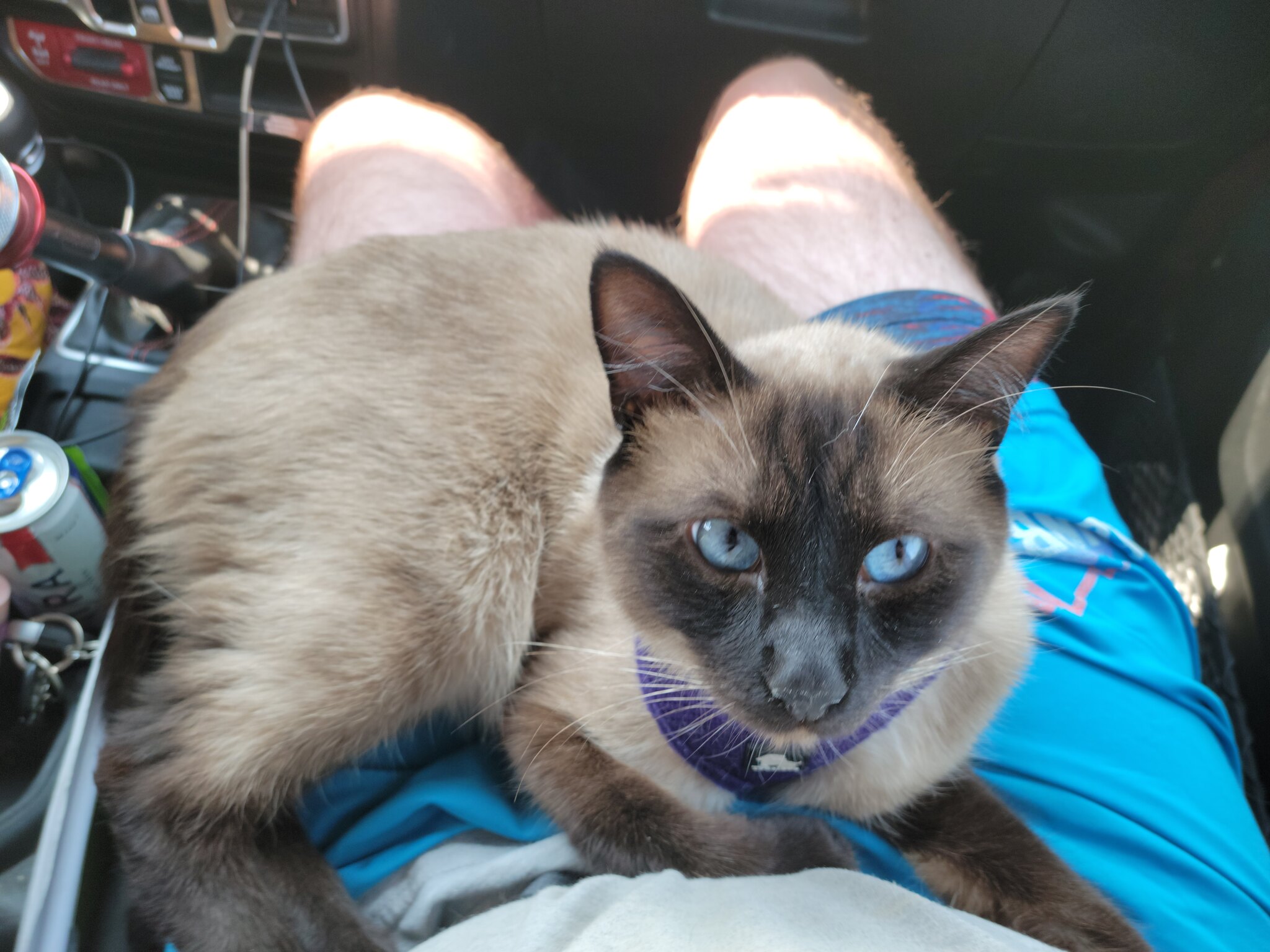
We pull into Austin just before lunch time and fueled up for the longest stretch without a fuel stop. It would be 220 miles until Elko, NV so we filled up the Jeep and filled up our 5 gallon spare can so we could try and avoid our previous fuel scare. This was the fork in the road though but we thought we could make it with time running out. You may also ask "What do the animals do on a long day like this?" Well, they pretty much either sleep or play musical laps. Adventure Cat spends most of his time napping on the little cooler while the dogs either sleep on their dog bed or a lap. They have it really tough sometimes.

20210724_144032 by Wayne Larson, on Flickr

20210721_171527 by Wayne Larson, on Flickr

20210724_151822 by Wayne Larson, on Flickr

This day was a long one and there wasn't much to really stop and see along the way. Many cattle gates along the way meant lots of cattle along the way which meant no camping spots unless you like to stop in a cow pie mine field. We ended up getting to the campsite that I had read about at Cedar ridge which ended up being 268 miles from our previous camp and and just over 11 hours of travel time. Some stats from this stage are as follows:
Average moving time: 10 hours 9 minutes
Average moving speed: 26.0 mph
Maximum speed: 53 mph
Maximum elevation: 8808 ft

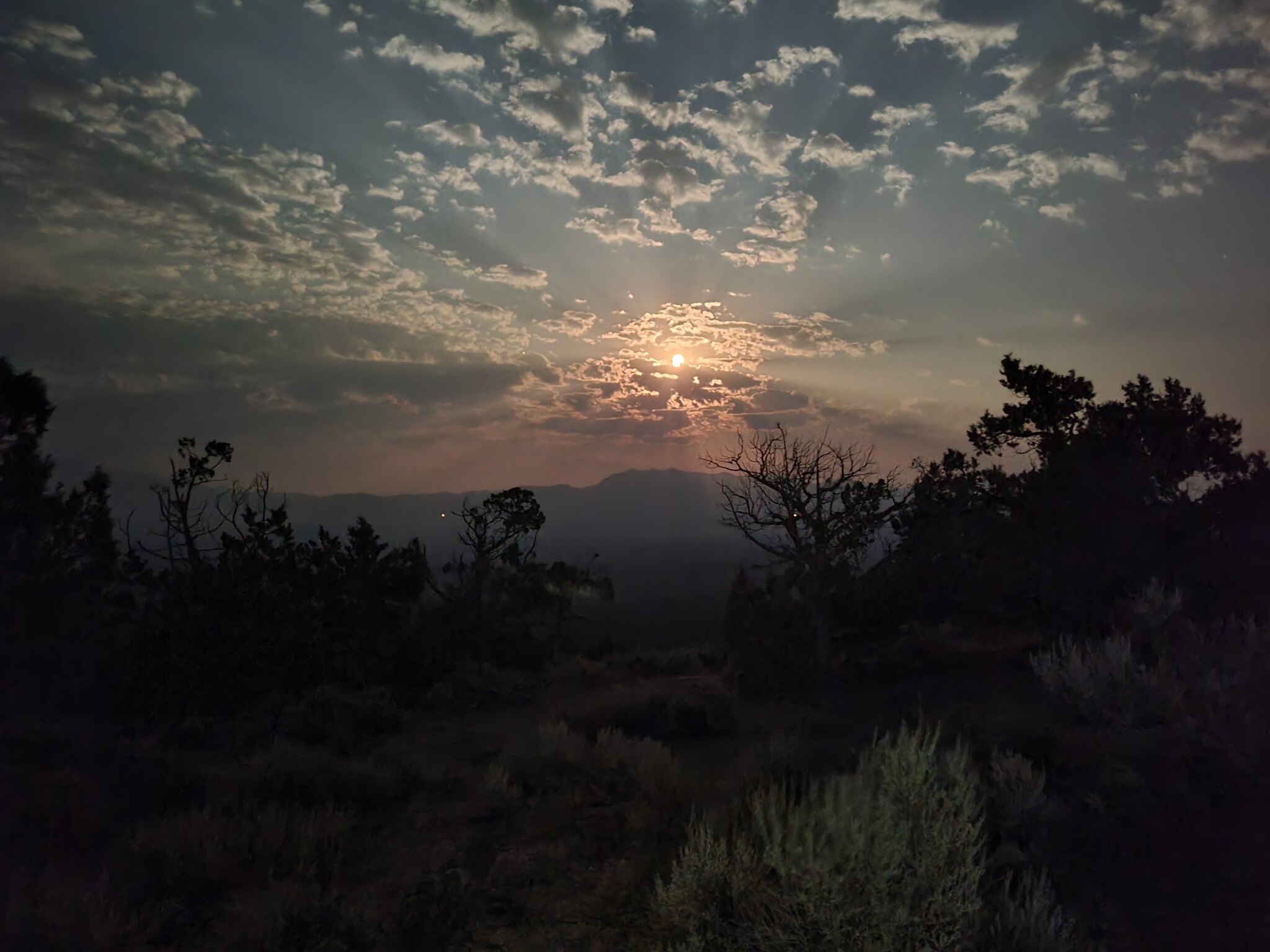
It was a long day but the campsite was fantastic. Even with the fire smoke off in the distance the views were amazing.

20210724_085346 by Wayne Larson, on Flickr

20210723_212615 by Wayne Larson, on Flickr

Then night fell and the monsters came out.

Next up: Did we survive the night? What does a teenager and an Adventure Cat have in common? Why hasn't anyone heard of the majesty of northern Nevada?
 

G0to60

Rank II

Enthusiast III

473
Milwaukie, OR
First Name
Wayne
Last Name
Larson
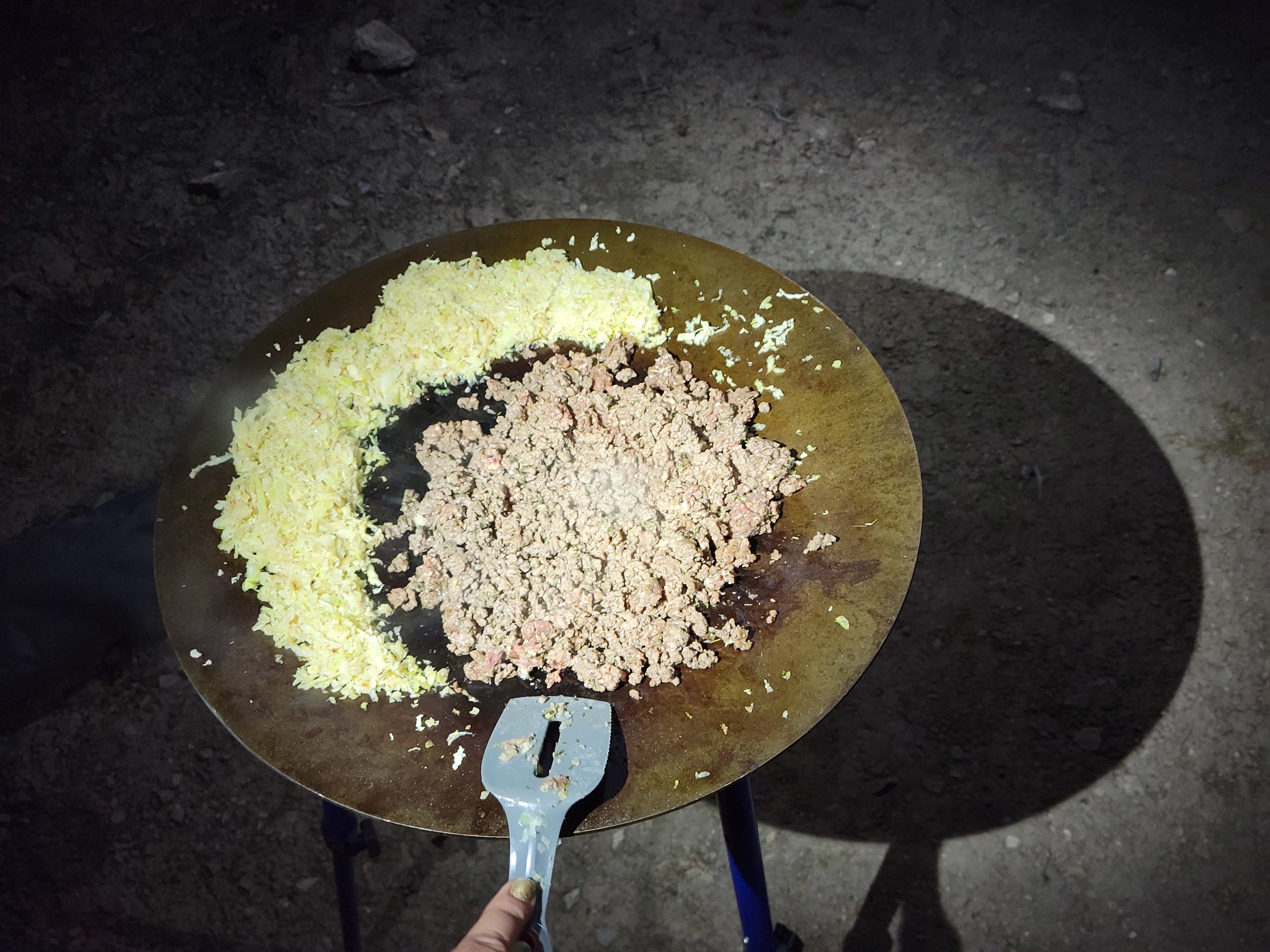
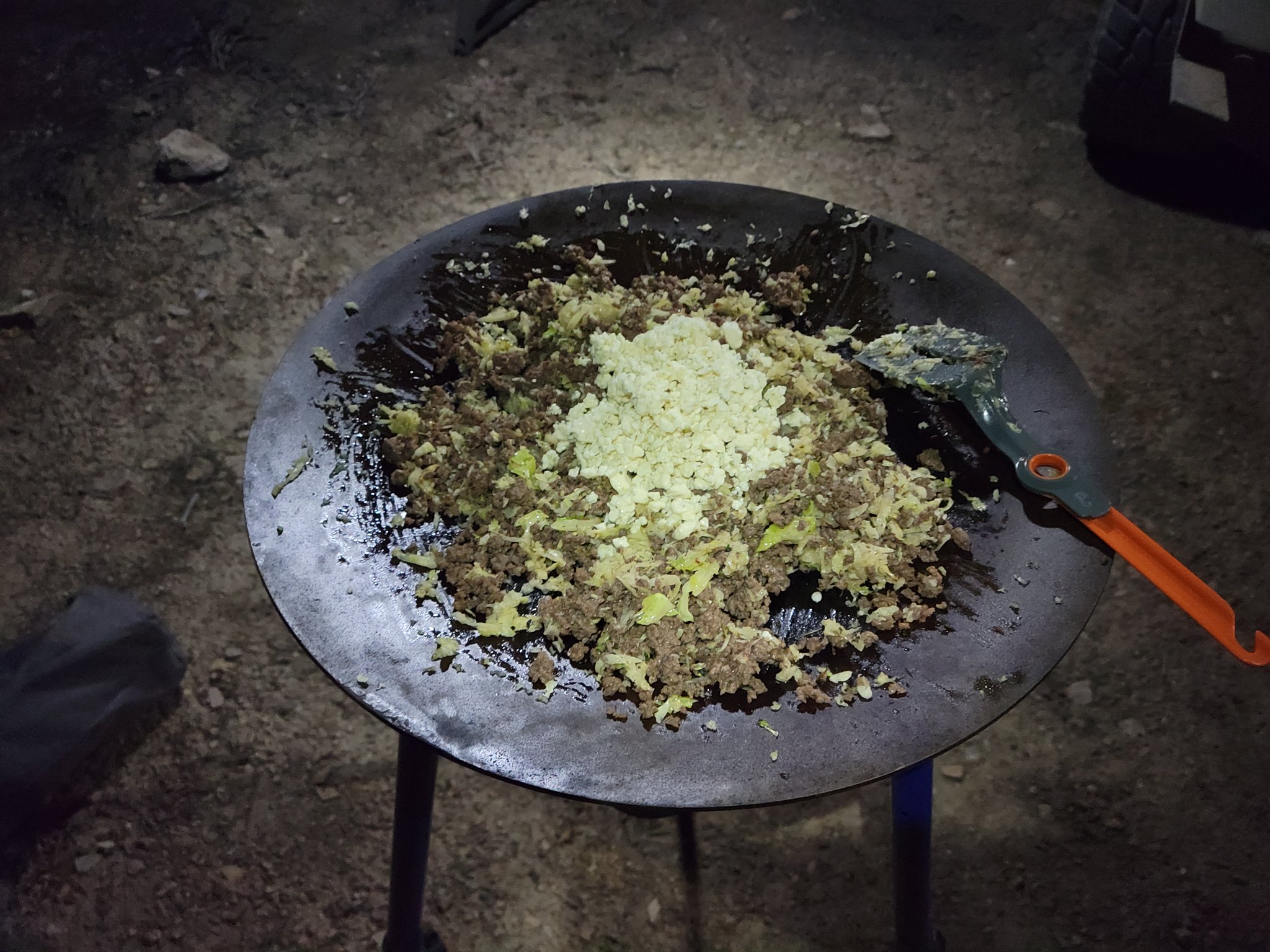
Before we set off to bed we needed some dinner so my wife whipped up a unique dish that is pretty tasty. She pulled out some ground elk and cooked that with some shredded cabbage, once that was all cooked up she added blue cheese crumbles and then finally some whole cream. Let that simmer for a few minutes until warm and dig in. I had my doubts about this mix of ingredients but I have to say it hit the spot after a long day. The couple of ciders that I had left in the cooler helped out with that too.

20210723_205959 by Wayne Larson, on Flickr

20210723_210203 by Wayne Larson, on Flickr

20210723_210304 by Wayne Larson, on Flickr

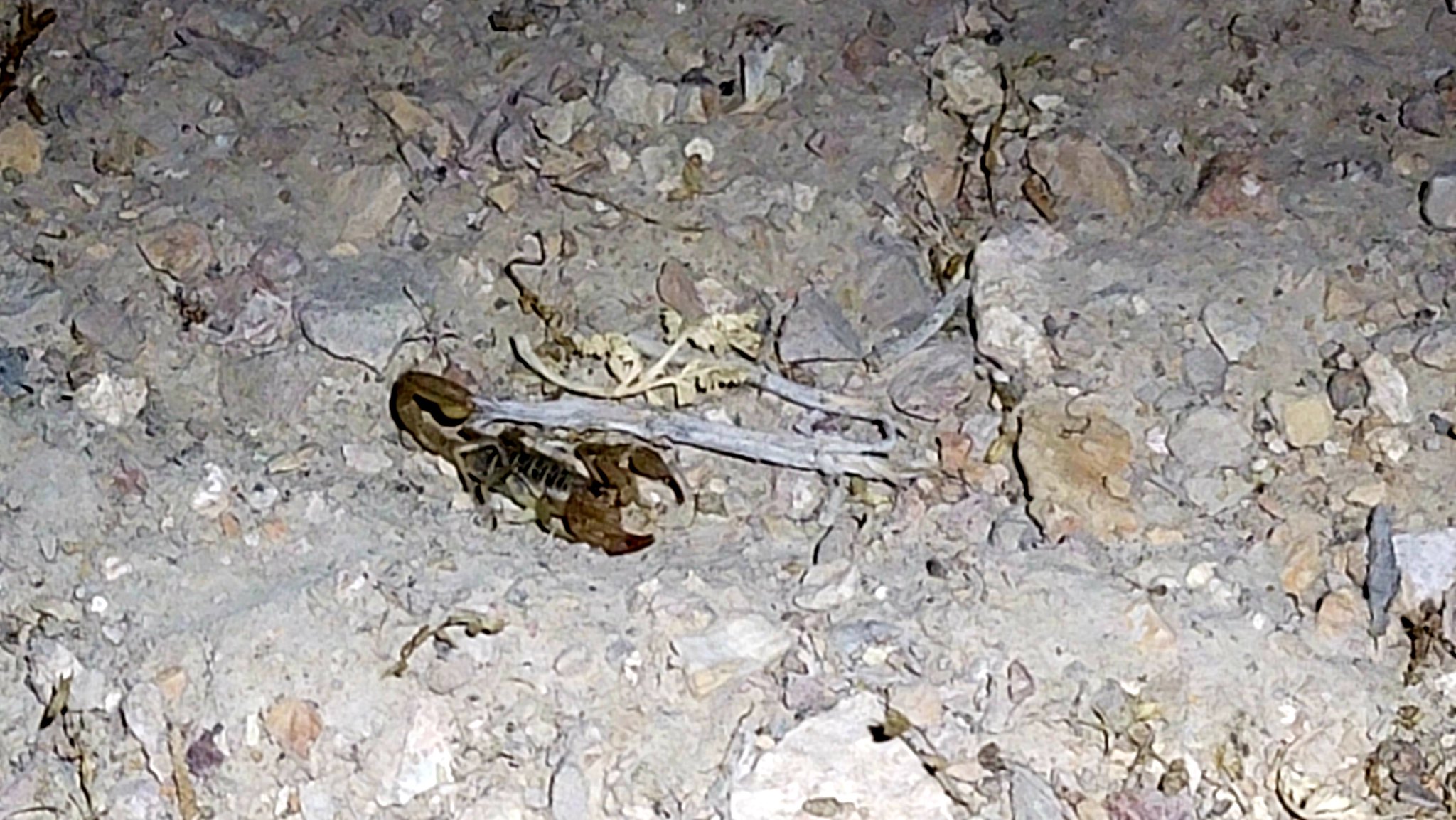
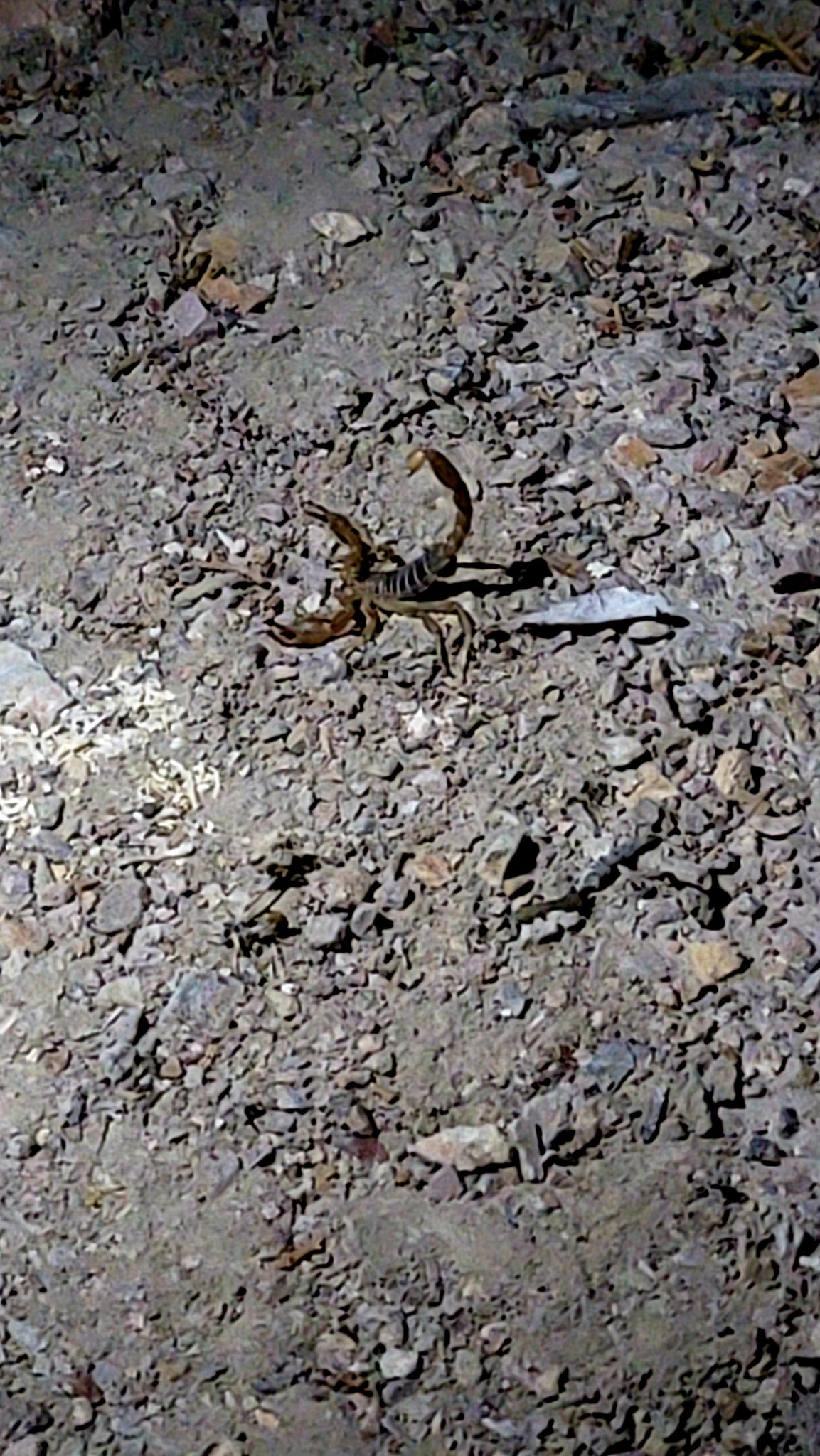
During this time the dogs were up in the tent because, well, it was dark so it was obviously bed time. Adventure Cat was wide awake and staring off into the brush at things we would never be able to see. He was thoroughly enjoying himself. Then my wife noticed him staring straight down at the ground a few inches in front of him. He only does this when there is a bug crawling around so we investigated to see what kind it was. It did have multiple legs but a couple more then a typical insect. What Adventure Cat found was a lovely little scorpion. Dun dun duuuuuuunnnnnnnnnn!

20210723_212926 by Wayne Larson, on Flickr

20210723_212941 by Wayne Larson, on Flickr

20210723_213047 by Wayne Larson, on Flickr

My wife quickly pick up Adventure Cat from the little monster. We didn't know what type it was but we didn't want to risk it so he went up into the tent and I did my best Steve Irwin and shoed it away with a stick. As you can see it wasn't all the pleased with my persuasion but eventually I got it plenty far away from our camp. During this trip we have been very aware that we were in bitey and stingy country so once we parked I would walk around the perimeter checking things out. I was mainly looking for snakes and me walking around is a good way to let them know that you're big and close by so they usually just go the other way. This little guy must have hidden or snuck in while we were cooking dinner.

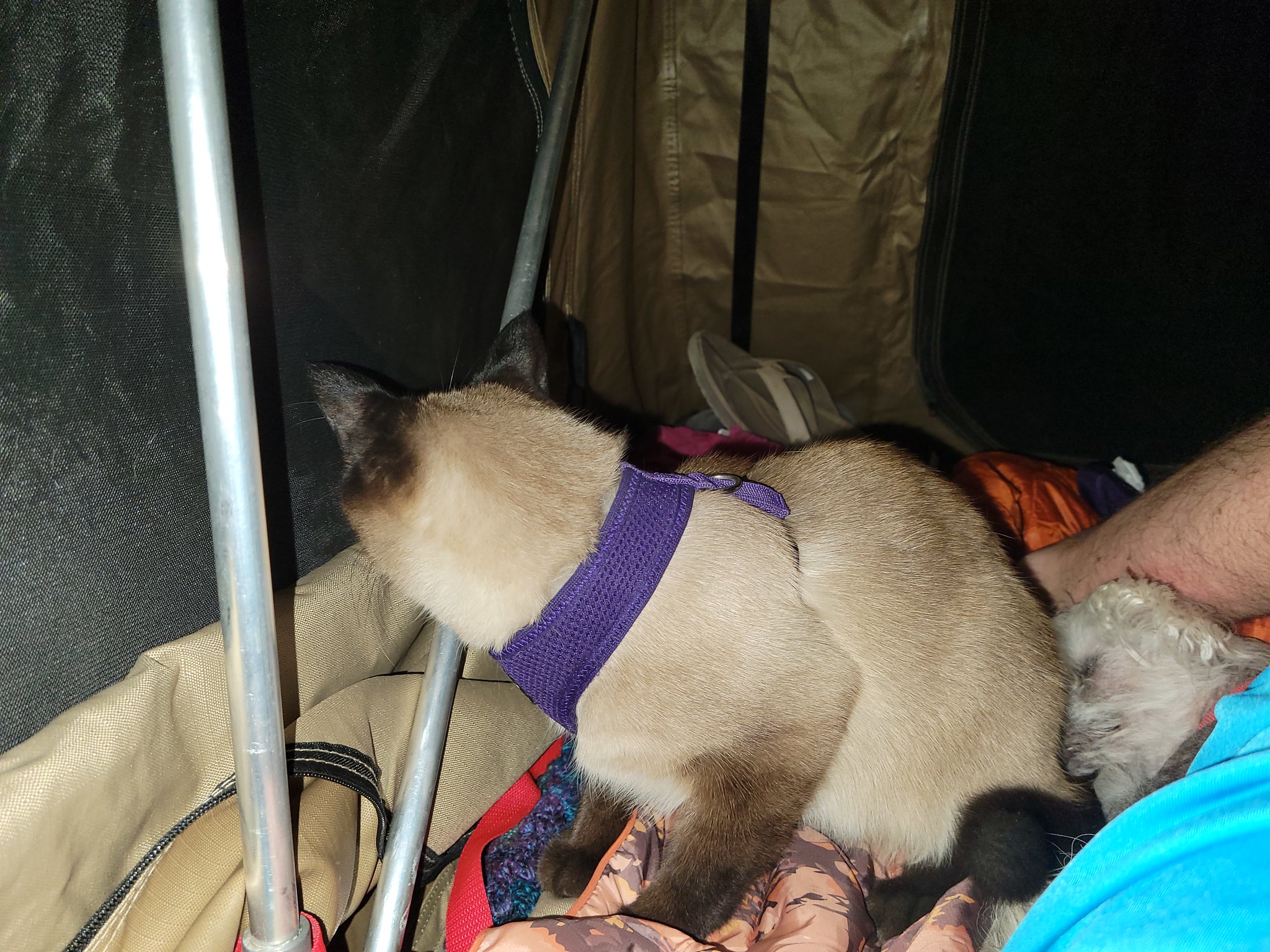
Anyway, after double checking around the ladder and Jeep (my wife usually has to pee in the middle of the night) and only finding one other smaller scorpion we hit the sack. Do you want to know why Adventure Cat sleeps all day while we're bouncing all over the country side? It's because he stays up all night watching his shows. And by shows I mean whatever walks, flies, or slithers past our camp in the night. This is his typical stance all night.

20210723_225652 by Wayne Larson, on Flickr

20210719_214622 by Wayne Larson, on Flickr

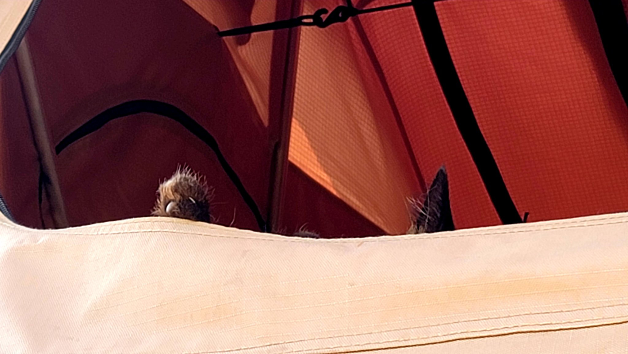
And previously I asked how is he like a typical teenager? Well when you stay up all night you don't want to wake up in the morning. It took some coxing to get him up that morning.

20210724_090906 by Wayne Larson, on Flickr

20210724_090854 by Wayne Larson, on Flickr
 

G0to60

Rank II

Enthusiast III

473
Milwaukie, OR
First Name
Wayne
Last Name
Larson
Eventually he did get up just about when we were ready to break down camp and head out for our last day on the trail.

20210724_083606 by Wayne Larson, on Flickr

20210724_083745 by Wayne Larson, on Flickr

We finally got all packed up and we were ready to hit the trail. Our next stop was Elko and we were looking very good on fuel. We still had just under half a tank and only had 45 miles to go. I dumped in the spare gas can just so it wouldn't be bouncing around in the back (we really need an actual mount for it back there) and made our way down but not before a parting shot.

20210724_094646 by Wayne Larson, on Flickr

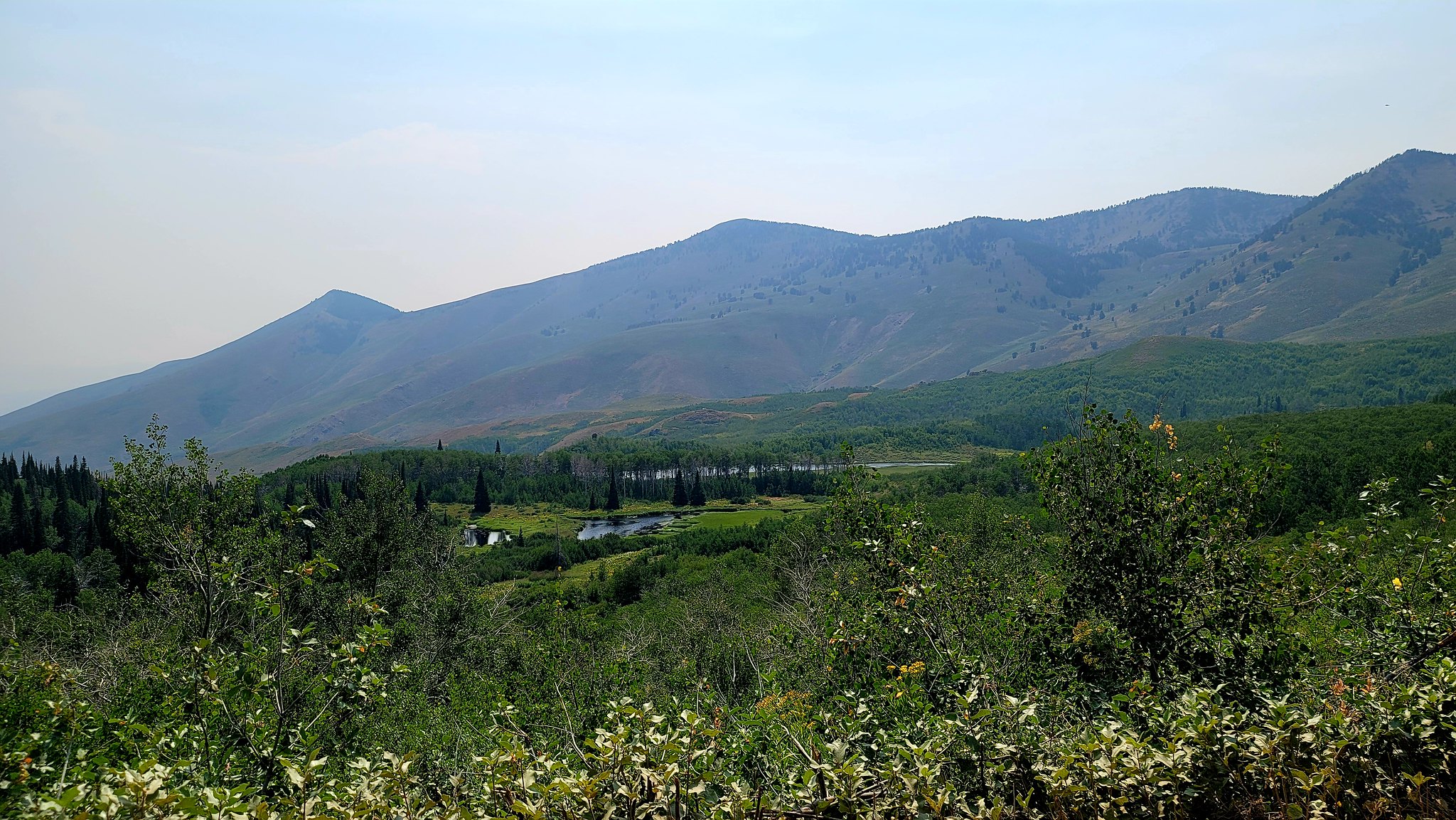
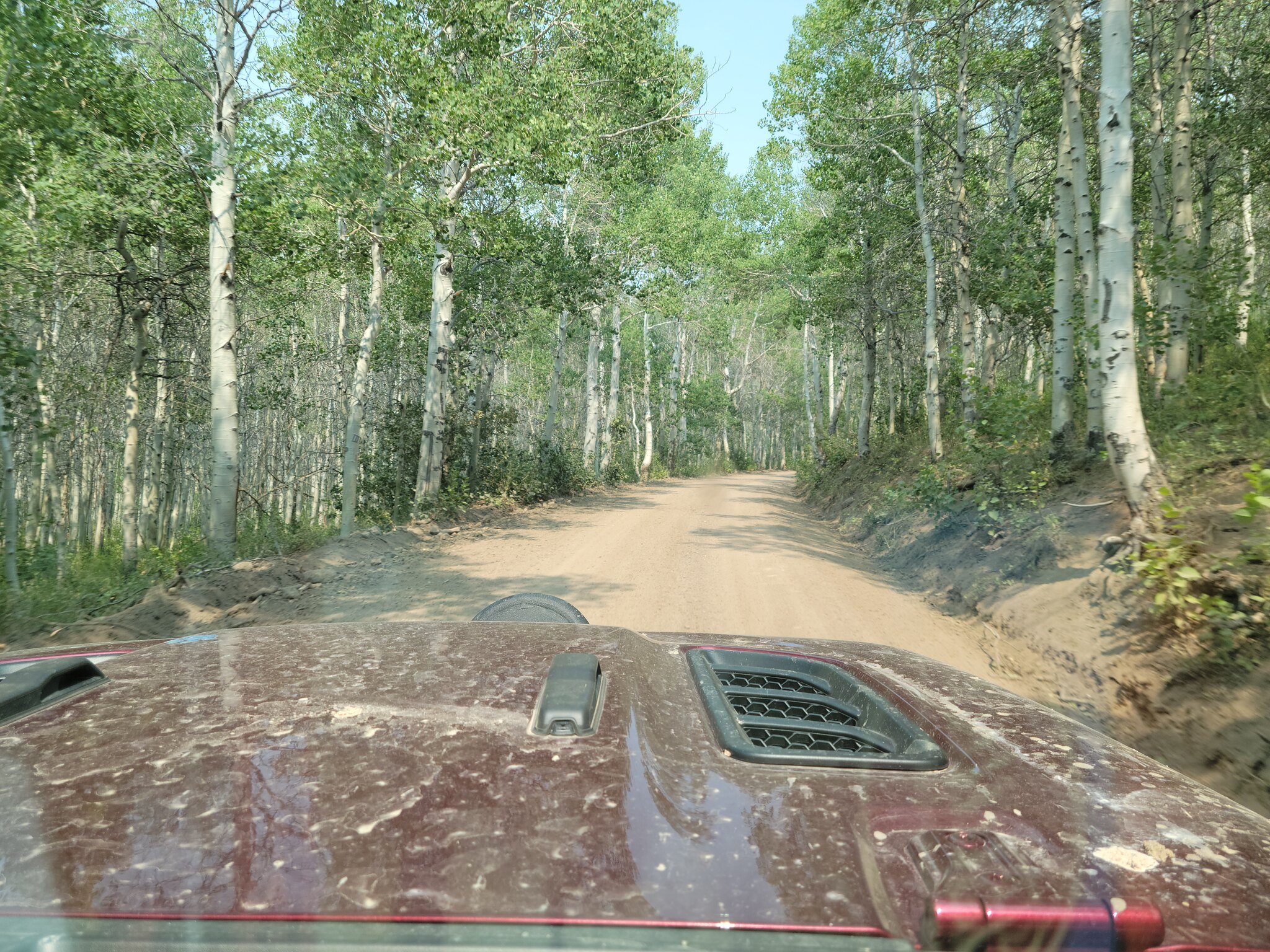
We made it into Elko with no problems and after gassing up headed north to the end of the route in Jarbidge, NV. This was a relatively short section of only 100 miles and about half of it was on a highway. The second half of it was worth it though. Climbing up into the Copper mountains we were greeted by wonderful groves of Aspen trees and amazing views of alpine lakes up around 8400 ft. It was like a little slice of the type of forest and scenery that we are used to in the PNW. Absolutely stunning.

20210724_150817 by Wayne Larson, on Flickr

20210724_151022 by Wayne Larson, on Flickr

20210724_145549 by Wayne Larson, on Flickr

After cresting the summit we headed down into Jarbidge. Another little old mining town that was now catering to outdoor crowd. In town we saw several adventure bikes and overland rigs that were too clean to be ending so they were likely heading south on the same track that we were on. As per usual we stopped in the local saloon for a celebratory drink for finishing the Nevada Backcountry Discovery Route.

20210724_163802 by Wayne Larson, on Flickr

20210724_155220 by Wayne Larson, on Flickr

From here is was a "short" jaunt north to next big city which is Twin Falls, ID. This is 100 miles away on still mostly dirt roads but like the Pony Express they are well maintained and we made good time. Since we were dirty and tired a hotel was in order but getting a hold of one was a serious pain when no one would answer the phone. The place we found allowed pets but only two small pets per room. We snuck in Adventure Cat and no one was the wiser.

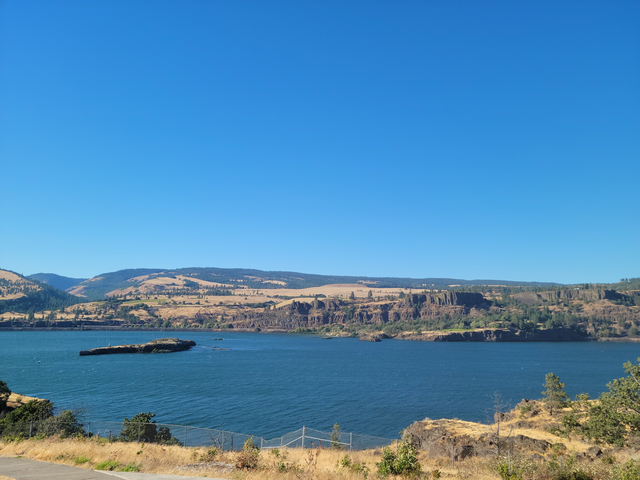
The next day we had to book it home to Portland. Lots of boring highway driving but we did stop at a rest stop in the Columbia Gorge about 30 miles outside of Portland for one last pee break. I often forget how amazingly beautiful the Gorge is because we usually are blasting through it to get somewhere else. We have been through there hundreds of times but only rarely stop to enjoy the view but this was one time. The pictures aren't that great and no picture really does it justice but it's a reminder to enjoy what's close to home.

20210725_175237 by Wayne Larson, on Flickr

20210725_175353 by Wayne Larson, on Flickr

And that's it. We survived our longest trek to date with only a couple of hiccups. We ended up doing this in 6 days but in reality it would be a bit better if we did it in 7 or 8 so that we could break up a couple of the long days. You may be asking can I do something like this and what do I really need? To be honest we spent about 90% of the time in 2wd and only needed low range twice. There was one section (that we neglected to get pictures of, damn) where the trail got very narrow and we had to do some minor rock crawling to get by. Aside from this little area pretty much any high clearance vehicle with good all terrain tires can do this track. You don't need all the gear that we carry since this was initially mapped out for adventure motorcycles that have very limited capacity. Someone could do this with a ground tent, water jugs, a cooler and a map and be perfectly fine so don't think you need all the gear and need to spend thousands of dollars.

After getting home and cleaning up my wife and I are already planning on what trek we want to do next. We have tentative plans to do the north rim of the Grand Canyon again in October with a bit more exploring and my wife is doing an offroad and recovery class in AZ in September that Lady's Offroad Network is putting on. Maybe in winter time when just about everything up here is snowy or rainy we'll get down and explore Death Valley when the temps are much more bearable. We'll see what happens and we will do our best to bring Adventure Cat and others along for the ride. Thanks for reading my ramblings.
 
  • Like
Reactions: James.Laidlaw

G0to60

Rank II

Enthusiast III

473
Milwaukie, OR
First Name
Wayne
Last Name
Larson
Bonus Content!!!!

I realize that I may have doubled up on pictures or told the same story twice in the above posts but I think I got the gist of the trip. But I did forget to post a couple of pictures that I just found that made me smile and/or laugh.

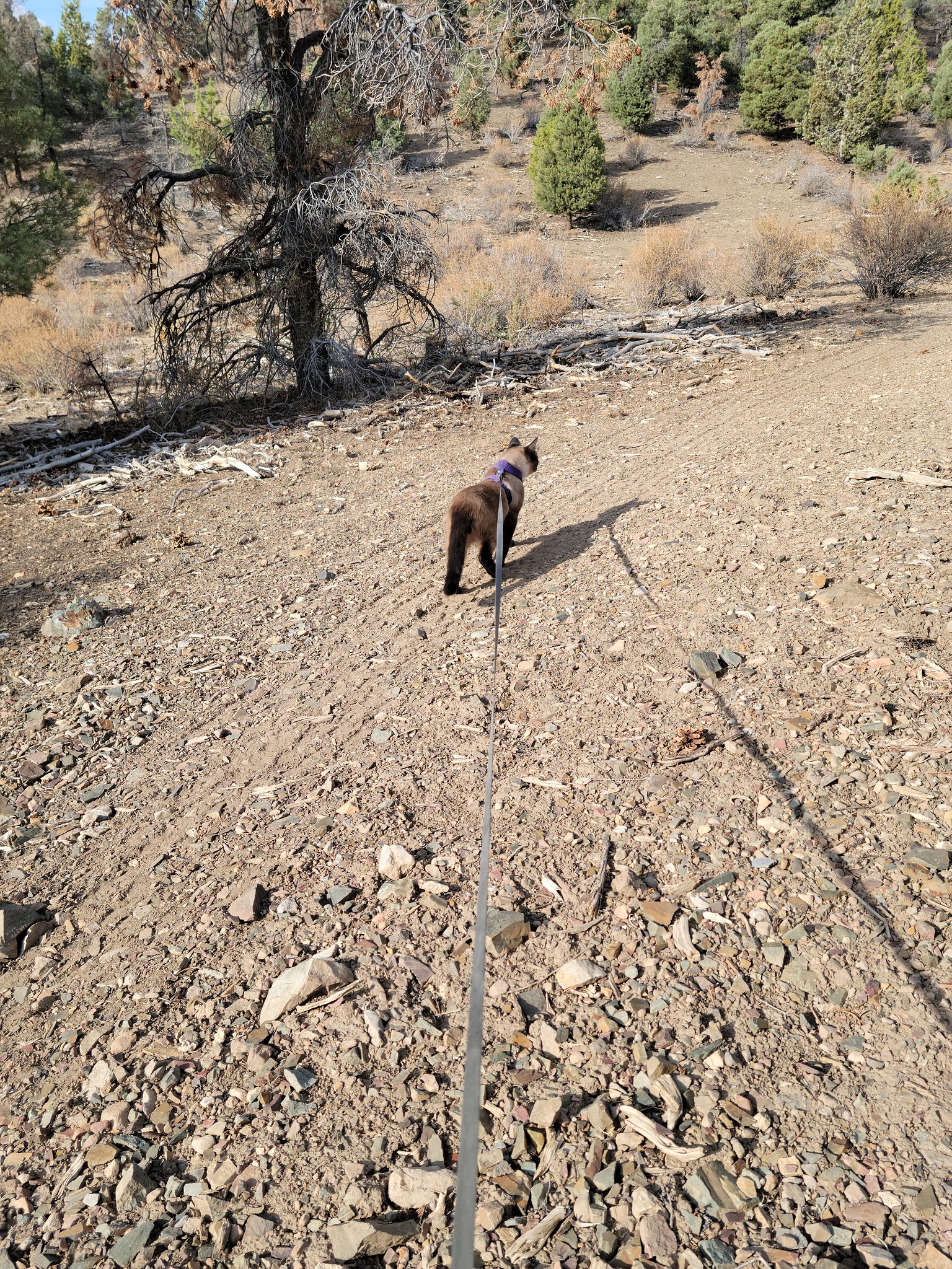
The first is Adventure Cat really wanting to go on a walk. Once we got his leash on he was just heading down the road to see what was up so we went with it.

20210722_080709 by Wayne Larson, on Flickr

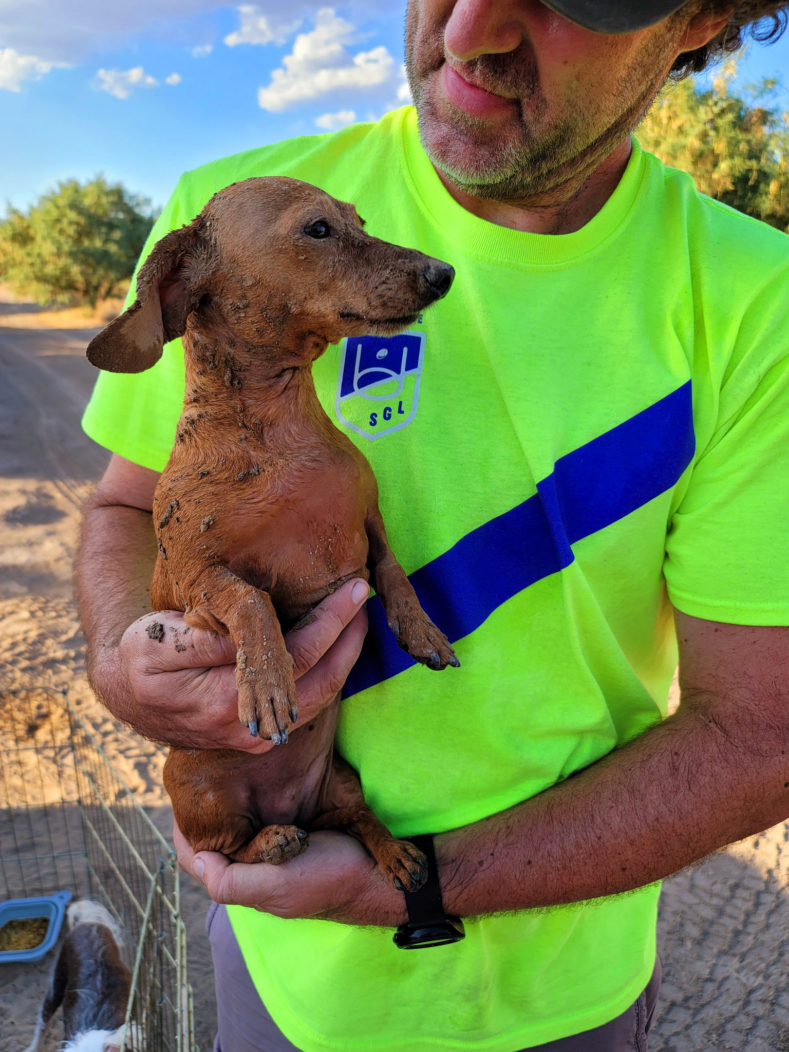
Lastly was our little dog Mya. I think this was at our camp in the mesquite grove because I remember it being very dusty. We have a little sprayer that we use to clean dishes or hands or to take a quick camp shower. We also use it to rinse off the dogs if they get a little dirty. Well Mya was bouncing through the dust and got pretty dirty so we used the sprayer to clean her off. It worked great but we underestimated the grudge that a tiny wiener dog can hold on to. After she got her little shower she immediately stuck her head in the dirt and rolled around getting 10x dirtier then before. She was so proud.

20210720_183803 by Wayne Larson, on Flickr

20210720_183804 by Wayne Larson, on Flickr

That's all for now!
 
  • Like
Reactions: James.Laidlaw

James.Laidlaw

US MidWest Region Member Rep
Launch Member

Enthusiast III

1,520
Maineville, OH, USA
First Name
James
Last Name
Laidlaw
Member #

0539

Ham/GMRS Callsign
KC7LTK
Before we set off to bed we needed some dinner so my wife whipped up a unique dish that is pretty tasty. She pulled out some ground elk and cooked that with some shredded cabbage, once that was all cooked up she added blue cheese crumbles and then finally some whole cream. Let that simmer for a few minutes until warm and dig in. I had my doubts about this mix of ingredients but I have to say it hit the spot after a long day. The couple of ciders that I had left in the cooler helped out with that too.

20210723_205959 by Wayne Larson, on Flickr

20210723_210203 by Wayne Larson, on Flickr

20210723_210304 by Wayne Larson, on Flickr

During this time the dogs were up in the tent because, well, it was dark so it was obviously bed time. Adventure Cat was wide awake and staring off into the brush at things we would never be able to see. He was thoroughly enjoying himself. Then my wife noticed him staring straight down at the ground a few inches in front of him. He only does this when there is a bug crawling around so we investigated to see what kind it was. It did have multiple legs but a couple more then a typical insect. What Adventure Cat found was a lovely little scorpion. Dun dun duuuuuuunnnnnnnnnn!

20210723_212926 by Wayne Larson, on Flickr

20210723_212941 by Wayne Larson, on Flickr

20210723_213047 by Wayne Larson, on Flickr

My wife quickly pick up Adventure Cat from the little monster. We didn't know what type it was but we didn't want to risk it so he went up into the tent and I did my best Steve Irwin and shoed it away with a stick. As you can see it wasn't all the pleased with my persuasion but eventually I got it plenty far away from our camp. During this trip we have been very aware that we were in bitey and stingy country so once we parked I would walk around the perimeter checking things out. I was mainly looking for snakes and me walking around is a good way to let them know that you're big and close by so they usually just go the other way. This little guy must have hidden or snuck in while we were cooking dinner.

Anyway, after double checking around the ladder and Jeep (my wife usually has to pee in the middle of the night) and only finding one other smaller scorpion we hit the sack. Do you want to know why Adventure Cat sleeps all day while we're bouncing all over the country side? It's because he stays up all night watching his shows. And by shows I mean whatever walks, flies, or slithers past our camp in the night. This is his typical stance all night.

20210723_225652 by Wayne Larson, on Flickr

20210719_214622 by Wayne Larson, on Flickr

And previously I asked how is he like a typical teenager? Well when you stay up all night you don't want to wake up in the morning. It took some coxing to get him up that morning.

20210724_090906 by Wayne Larson, on Flickr

20210724_090854 by Wayne Larson, on Flickr

I love the whole adventure cat theme! I have been wanting to take my little guy out on the trail as I spend so much time away from home. I used to canoe and camp with a cat in the 90’s - thinking it’s time to do that again.

- James OB 0539
 
  • Like
Reactions: Advtres and G0to60

G0to60

Rank II

Enthusiast III

473
Milwaukie, OR
First Name
Wayne
Last Name
Larson
I love the whole adventure cat theme! I have been wanting to take my little guy out on the trail as I spend so much time away from home. I used to canoe and camp with a cat in the 90’s - thinking it’s time to do that again.

- James OB 0539
He's a pretty unique cat. His parents (we have both) have zero interest in going outside let alone going camping. When we start to pack up for a trip he will hang out by the door and tap us on the shoulder to make sure we don't forget him. :-)
 

James.Laidlaw

US MidWest Region Member Rep
Launch Member

Enthusiast III

1,520
Maineville, OH, USA
First Name
James
Last Name
Laidlaw
Member #

0539

Ham/GMRS Callsign
KC7LTK
I love the whole adventure cat theme! I have been wanting to take my little guy out on the trail as I spend so much time away from home. I used to canoe and camp with a cat in the 90’s - thinking it’s time to do that again.

- James OB 0539
He's a pretty unique cat. His parents (we have both) have zero interest in going outside let alone going camping. When we start to pack up for a trip he will hang out by the door and tap us on the shoulder to make sure we don't forget him. :-)
I will admit, my cat Aslan thinks he is a dog! I already have some “travelcat” accessories for him. I think he’ll adjust nicely. I even looked at putting a cat hammock in my small teardrop.
 
  • Like
Reactions: G0to60

reaver

Rank VI
Member

Explorer I

3,680
Caldwell, ID, USA
First Name
Brian
Last Name
McGahuey
Member #

23711

Ham/GMRS Callsign
GMRS WRMV941
OK. Adventure cat is officially my new favorite internet cat. Looks like a great trip!
 
  • Like
Reactions: G0to60