

A little back story. This trip went through at least four different variations within a month of when we left. Originally the plan was to visit family (my parents and Grandparents) for the first time in over two years at Virginia Creek, CA for a couple of days and then continue down to a 4x4 camping/recovery class in northern AZ. Then the fires kicked in and the AZ part of the trip was canceled. Bummer. So now we had half a week to figure out what to do and we thought “Well, the Rubicon is on the way home. Let’s do that!” After some looking and making sure we could actually make it in her Jeep we decided that was going to be our adventure. Nope! It turns out that was when they have the Jeepers Jamboree and the trail was closed unless you are part of the group. Damn.
Then my Parents and Grandparents pulled out due to extreme fire danger both at their homes and at the campsite along with very high temperatures even at high altitude. My Grandparents are in their early 90’s so high temps are not a great idea out in the woods.
Now we have an entire week with no real plans. We threw around ideas of visiting several National Parks while still heading to SE California (Lassen, Sequoia, King Canyon) but fire danger and not being able to bring the Adventure Cat kind of killed that idea. Next was to still go to Virginia Creek and do day trips to Sequoia and King Canyon NP but there isn’t any access to those parks from the east so that was out.
Finally we decided let’s check out one of these Backcountry Discovery Routes. We have done a short section in Oregon (Prineville to Seneca) that took us about 3 days and was 190 miles but we wanted to go bigger so we decided to try the Nevada BDR. This route goes from the southern tip of NV (starts in Oatman, AZ) and ends in Jarbidge, NV. This is roughly 900 miles of dirt tracks and trails in some of the most remote parts of Nevada and is supposed to take us at least 6 days. This is a big jump for us in a new vehicle (I posted a small build thread here ) but we were up for the challenge. To make things even more interesting we decided to throw in a quick visit to my Grandparents on the way down which was totally worth it to see them both after such a long time.
Here is the route that we took.
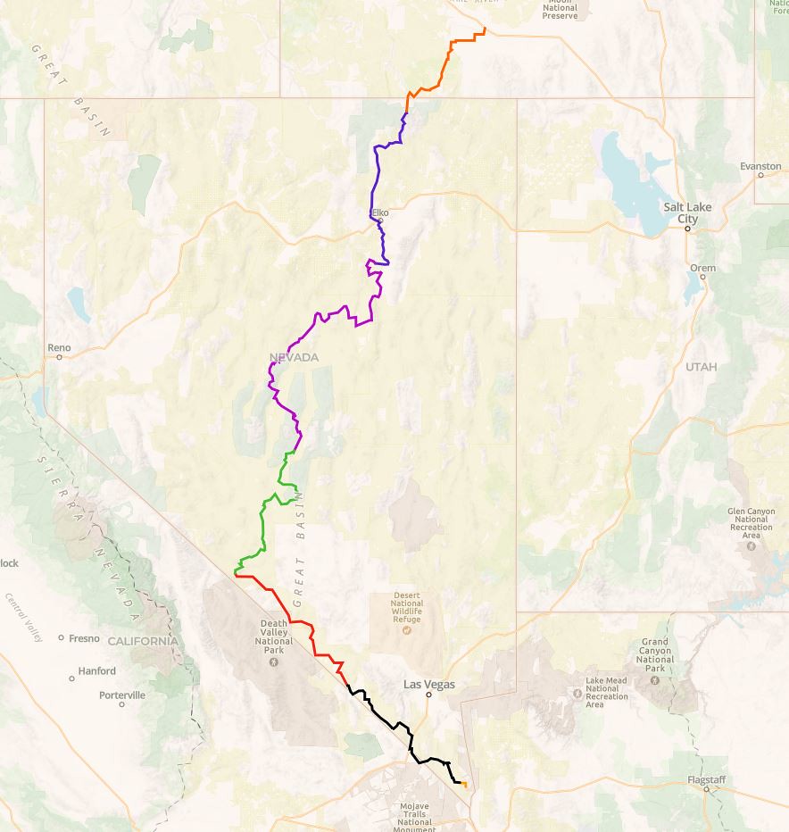 NVBDR by Wayne Larson, on Flickr
In order to make the best time we could we took the boring route from Portland, OR down to Big Bear, CA which involved a lovely trip down I-5 and Hwy 99. We arrived in Big Bear on Sunday afternoon and it was so great to see my Grandparents. We hadn't seen them in over two years and they were thrilled to actually have someone visit in person after so long (July, 2021). We spent the evening talking about everything and it was well worth taking the time.
My Grandparent's house that they built in the 60's and lived in full time starting in the 80's.
 20210718_181955 by Wayne Larson, on Flickr
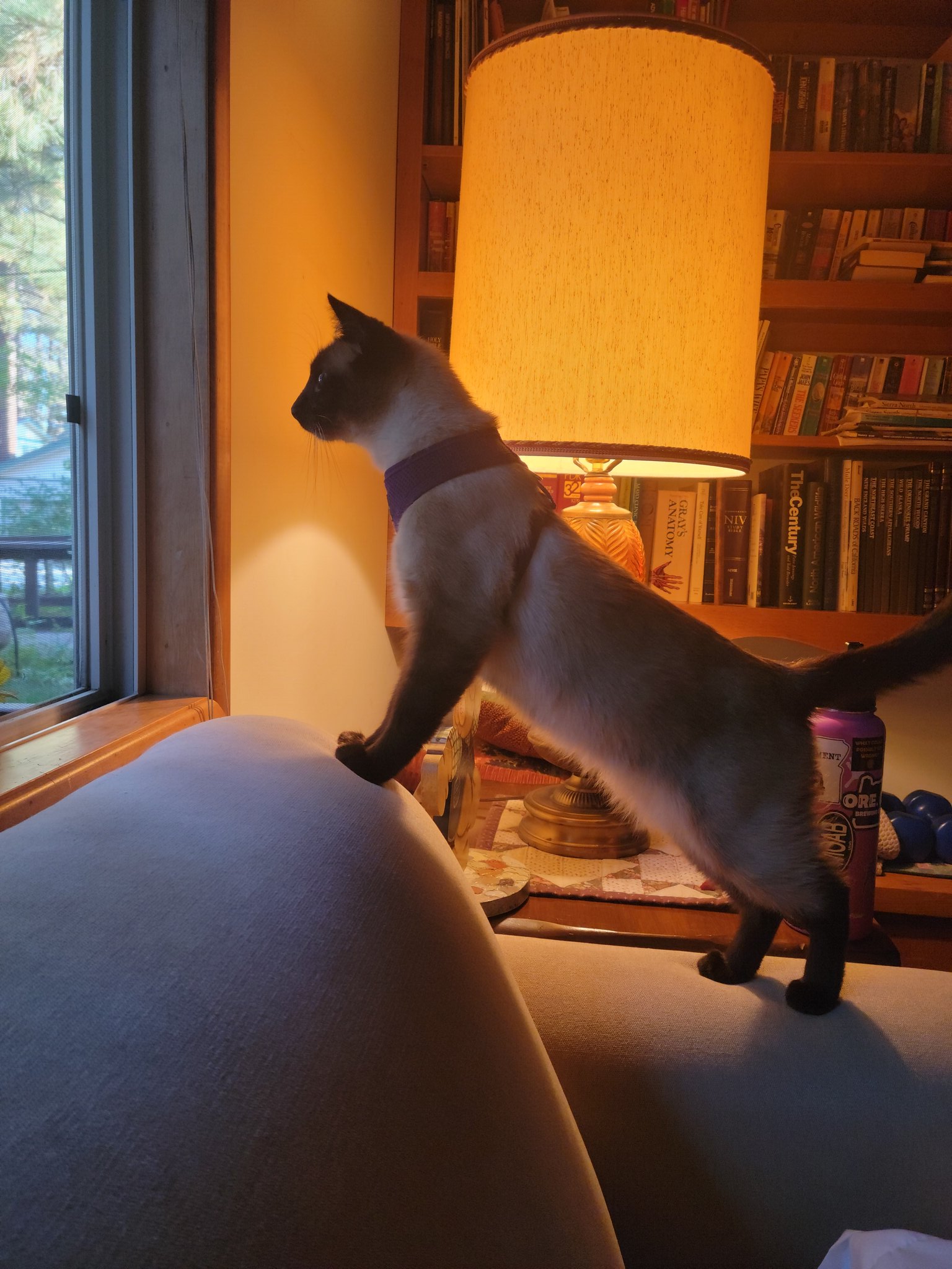
This was a theme for Adventure Cat for this trip. He loved to look out the window overnight to see whatever it is that he saw.
 20210719_064342 by Wayne Larson, on Flickr
The next day we had to hit the road. We needed to make it to Oatman by the afternoon but decided since it was pretty close that we would do a drive thru of Joshua Tree NP. My wife had never been there and it had been several years since I had gone through. We only stopped at the various roadside sights but it was worth it. It was also in the upper 90's so long hikes, especially with our pets, was out of the question.
 20210719_125950 by Wayne Larson, on Flickr
 20210719_130004 by Wayne Larson, on Flickr
 20210719_121040 by Wayne Larson, on Flickr
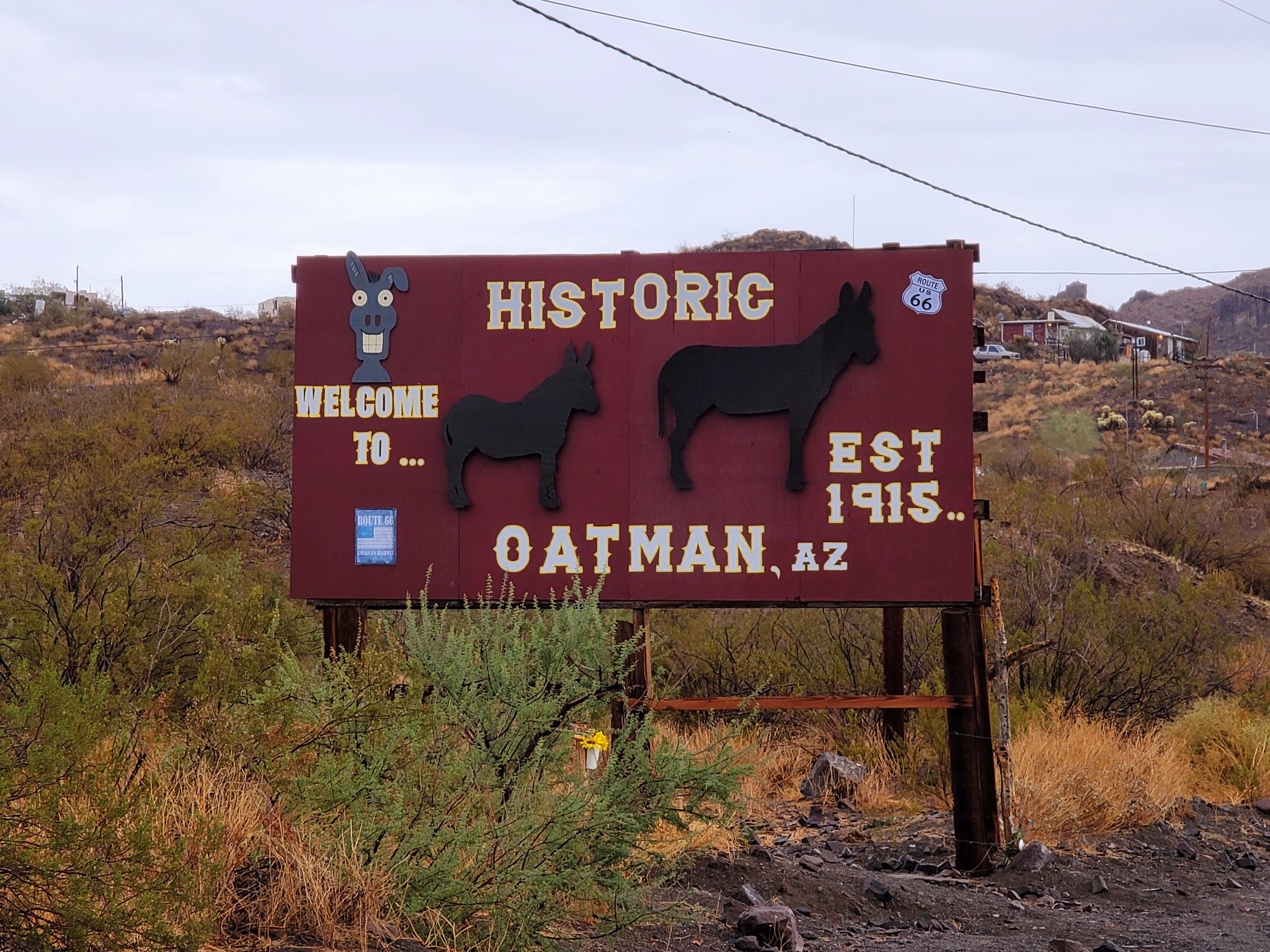
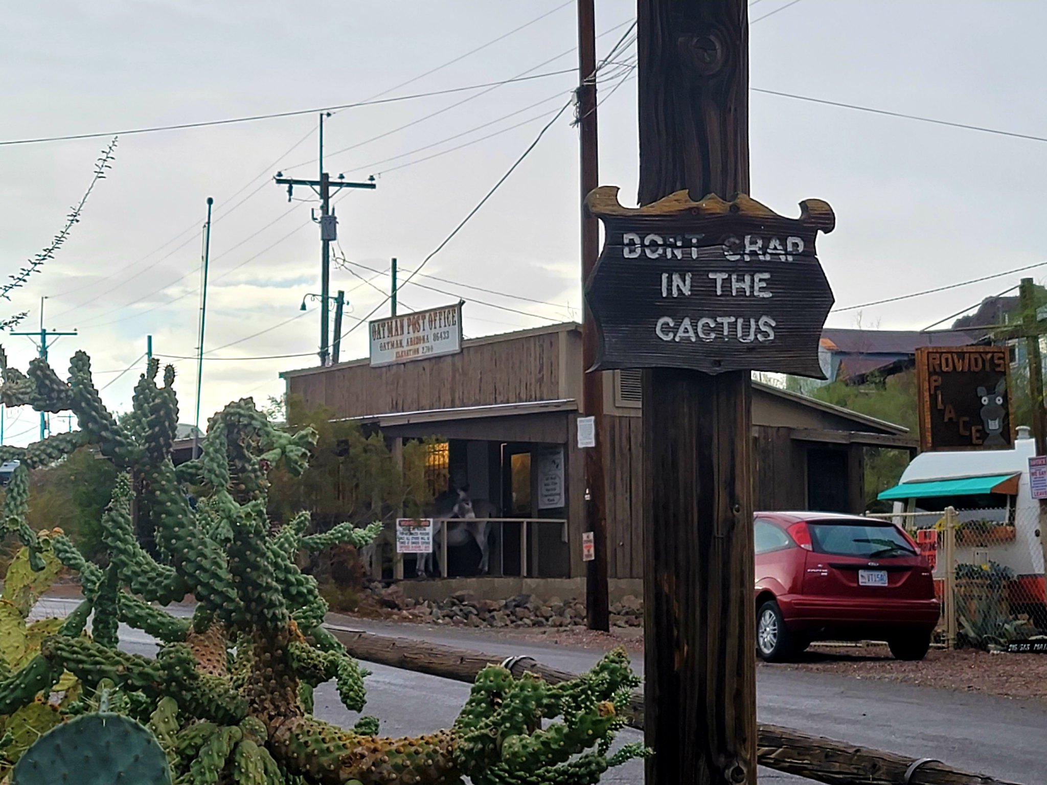
We will probably make another trip down there in the cooler months but for now it is on to Oatman. This old mining town marks the southern most point of the NVBDR even though it is in Arizona but we'll look past that. This town hit the big time in 1915 when gold was found in the surrounding hills. Once the mines started to run dry they moved on to tourism and kept the downtown area very authentic down to the wooden boardwalks, weathered store fronts, and the herd of "wild" burros that basically live in town.
 20210719_171307 by Wayne Larson, on Flickr
 20210719_173740 by Wayne Larson, on Flickr
 20210719_173803 by Wayne Larson, on Flickr
Then my Parents and Grandparents pulled out due to extreme fire danger both at their homes and at the campsite along with very high temperatures even at high altitude. My Grandparents are in their early 90’s so high temps are not a great idea out in the woods.
Now we have an entire week with no real plans. We threw around ideas of visiting several National Parks while still heading to SE California (Lassen, Sequoia, King Canyon) but fire danger and not being able to bring the Adventure Cat kind of killed that idea. Next was to still go to Virginia Creek and do day trips to Sequoia and King Canyon NP but there isn’t any access to those parks from the east so that was out.
Finally we decided let’s check out one of these Backcountry Discovery Routes. We have done a short section in Oregon (Prineville to Seneca) that took us about 3 days and was 190 miles but we wanted to go bigger so we decided to try the Nevada BDR. This route goes from the southern tip of NV (starts in Oatman, AZ) and ends in Jarbidge, NV. This is roughly 900 miles of dirt tracks and trails in some of the most remote parts of Nevada and is supposed to take us at least 6 days. This is a big jump for us in a new vehicle (I posted a small build thread here ) but we were up for the challenge. To make things even more interesting we decided to throw in a quick visit to my Grandparents on the way down which was totally worth it to see them both after such a long time.
Here is the route that we took.
NVBDR by Wayne Larson, on FlickrIn order to make the best time we could we took the boring route from Portland, OR down to Big Bear, CA which involved a lovely trip down I-5 and Hwy 99. We arrived in Big Bear on Sunday afternoon and it was so great to see my Grandparents. We hadn't seen them in over two years and they were thrilled to actually have someone visit in person after so long (July, 2021). We spent the evening talking about everything and it was well worth taking the time.
My Grandparent's house that they built in the 60's and lived in full time starting in the 80's.
20210718_181955 by Wayne Larson, on FlickrThis was a theme for Adventure Cat for this trip. He loved to look out the window overnight to see whatever it is that he saw.
20210719_064342 by Wayne Larson, on FlickrThe next day we had to hit the road. We needed to make it to Oatman by the afternoon but decided since it was pretty close that we would do a drive thru of Joshua Tree NP. My wife had never been there and it had been several years since I had gone through. We only stopped at the various roadside sights but it was worth it. It was also in the upper 90's so long hikes, especially with our pets, was out of the question.
20210719_125950 by Wayne Larson, on Flickr20210719_130004 by Wayne Larson, on Flickr20210719_121040 by Wayne Larson, on FlickrWe will probably make another trip down there in the cooler months but for now it is on to Oatman. This old mining town marks the southern most point of the NVBDR even though it is in Arizona but we'll look past that. This town hit the big time in 1915 when gold was found in the surrounding hills. Once the mines started to run dry they moved on to tourism and kept the downtown area very authentic down to the wooden boardwalks, weathered store fronts, and the herd of "wild" burros that basically live in town.
20210719_171307 by Wayne Larson, on Flickr20210719_173740 by Wayne Larson, on Flickr20210719_173803 by Wayne Larson, on Flickr
 20210719_171917
 20210719_171930
 20210719_172425
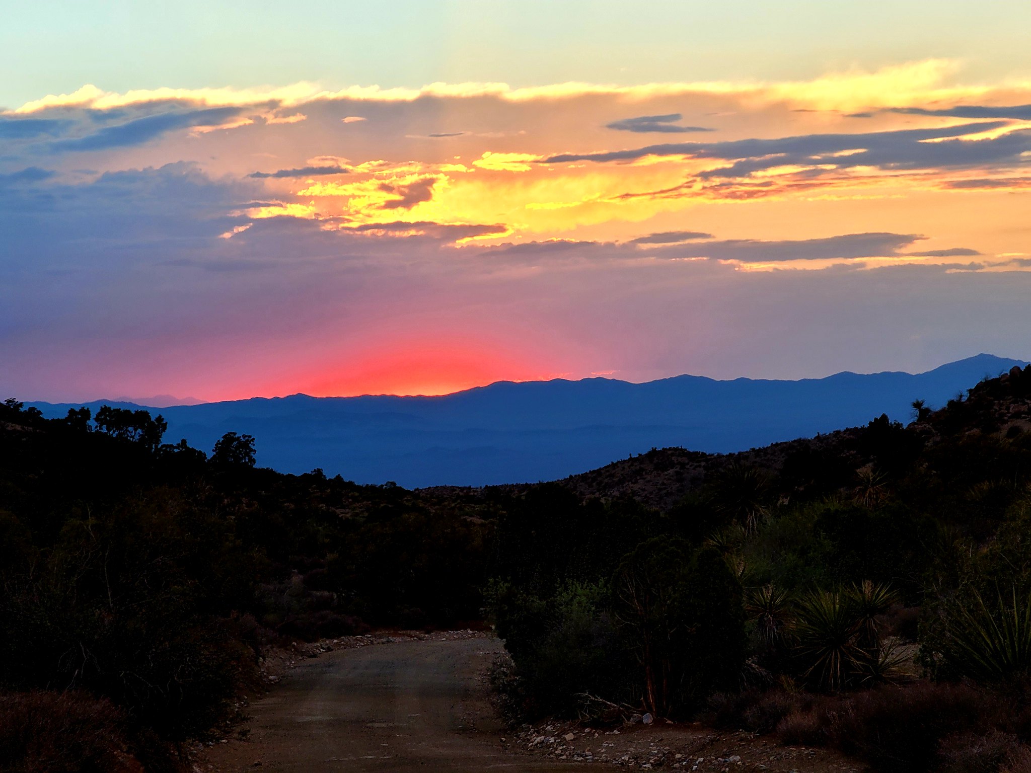 20210719_194926
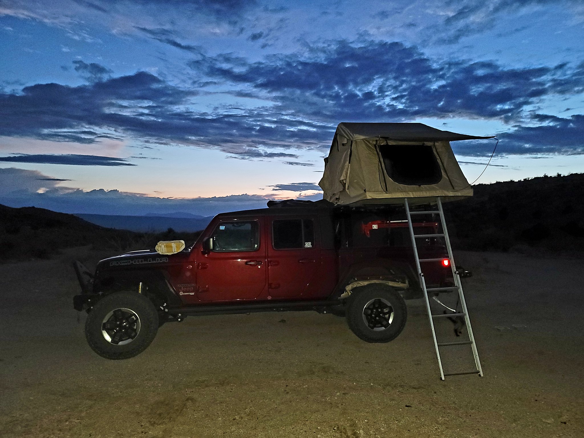 20210719_202649
 20210719_202630
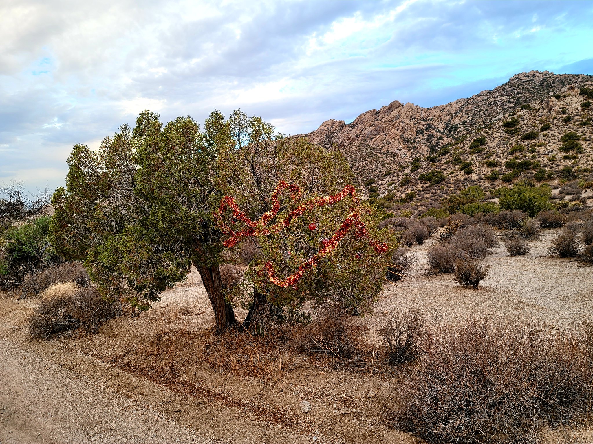 20210719_193701
 20210720_080602
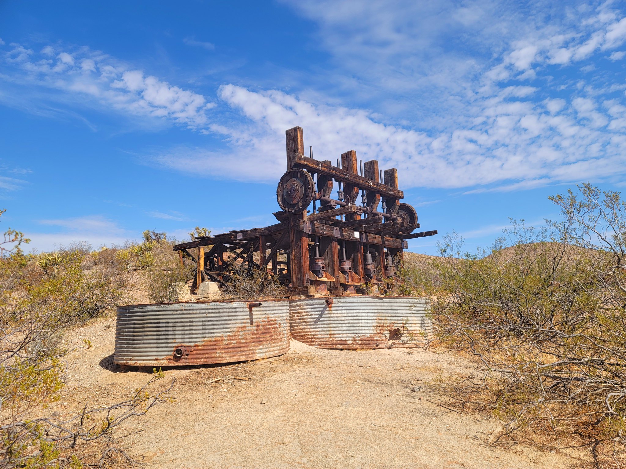 20210720_094003
 20210720_093820
 20210720_093924
 20210720_104523(0)
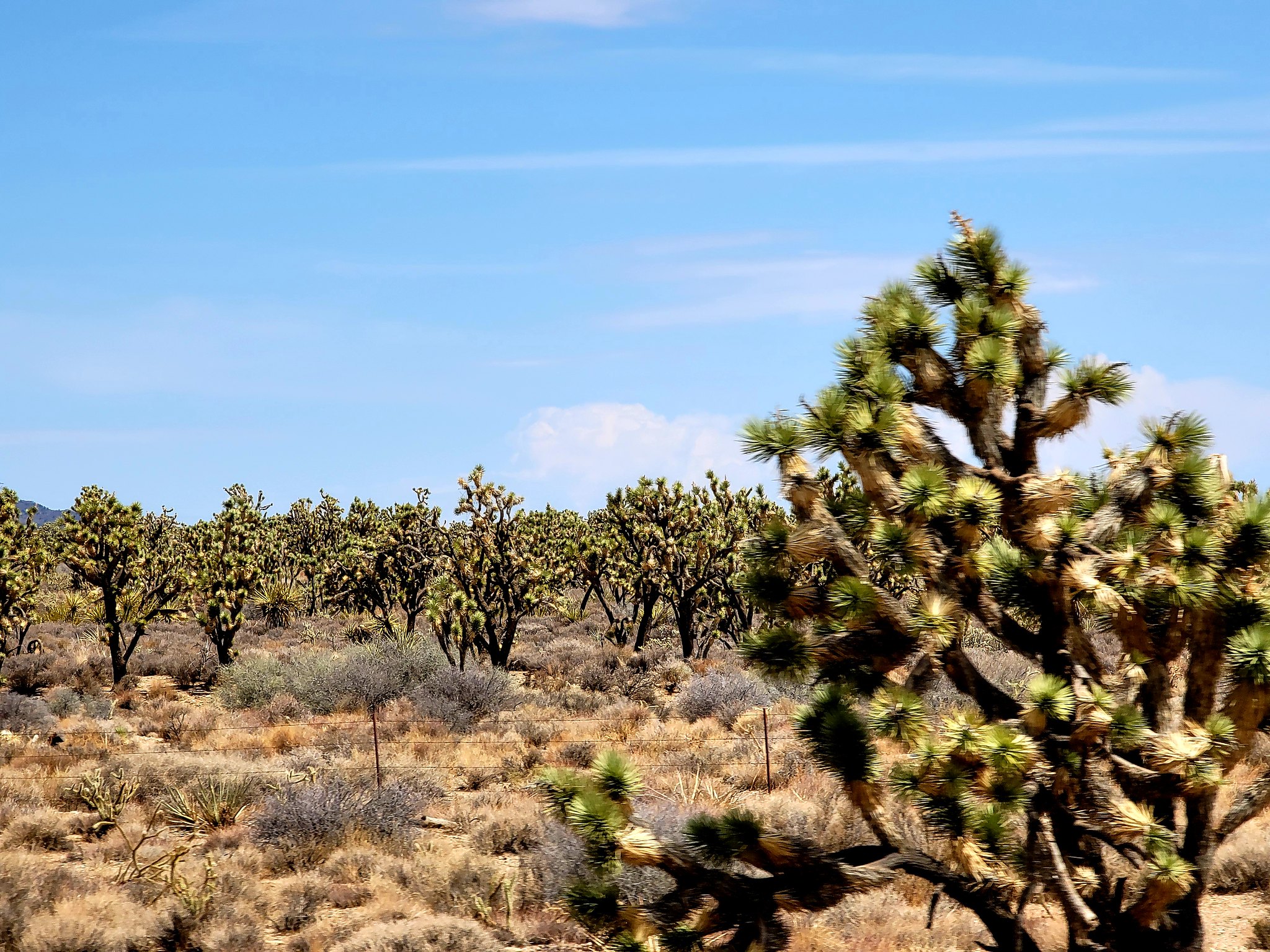 20210720_104521
 20210720_105317
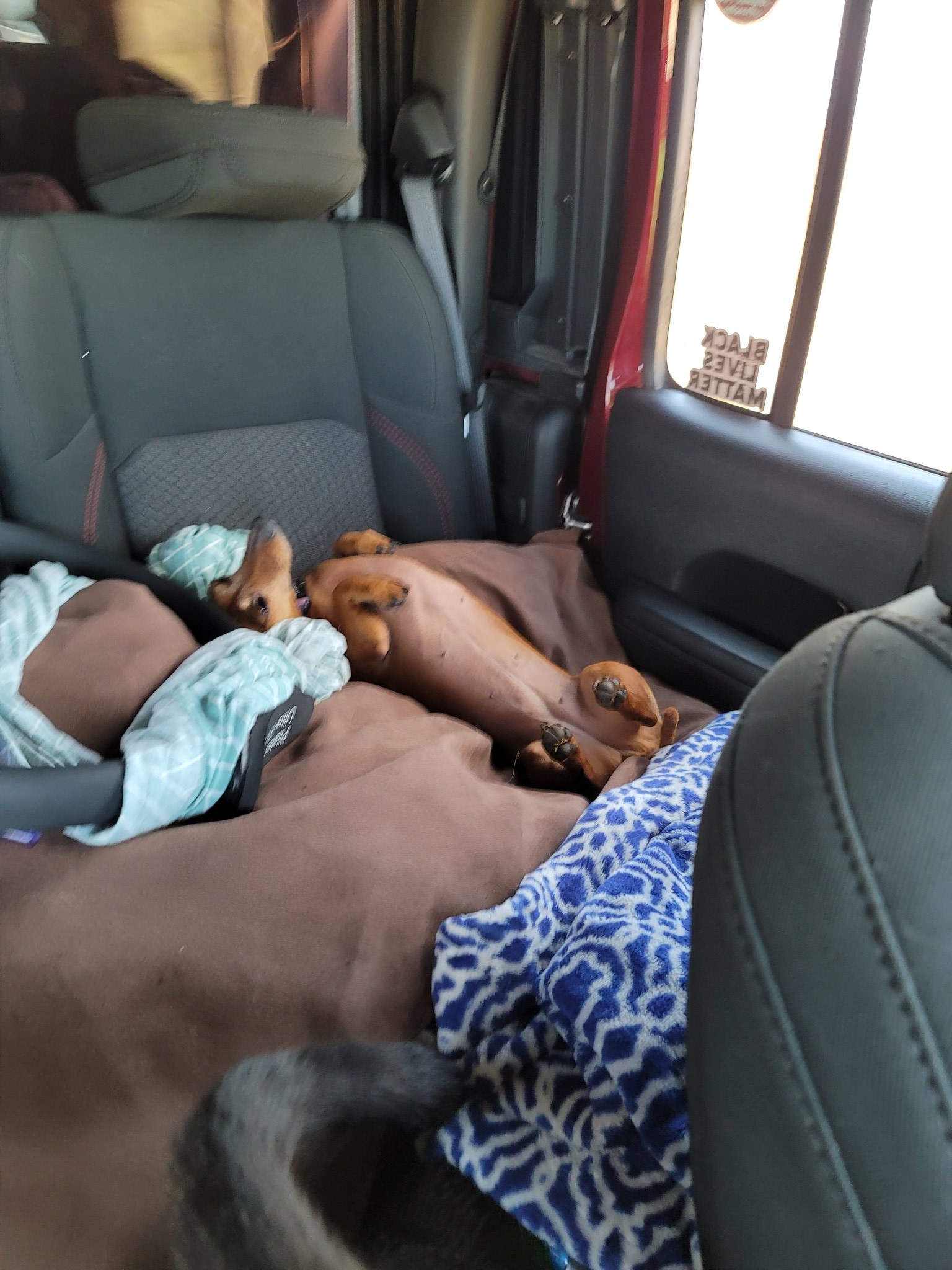 20210720_110626
 20210720_110630
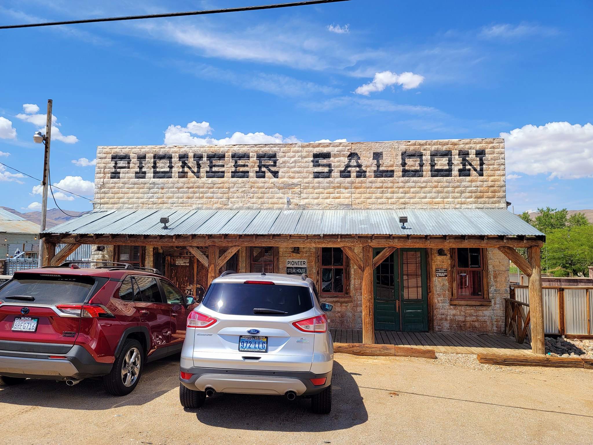 20210720_142256
 20210720_142308
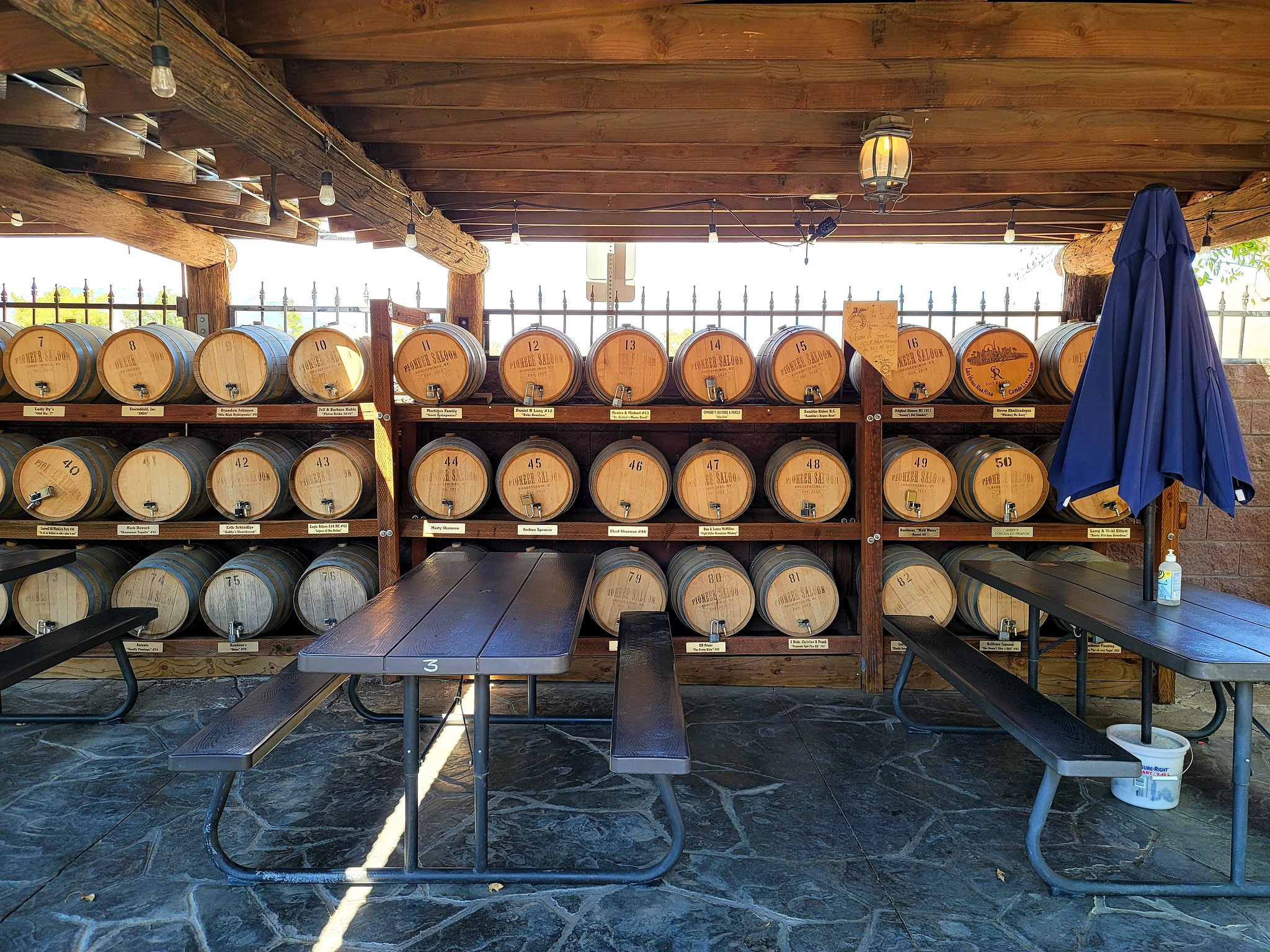 20210720_141808
 20210720_155815
 20210720_155818
 20210721_075548
 20210720_192158
 20210720_184133
 20210721_081115
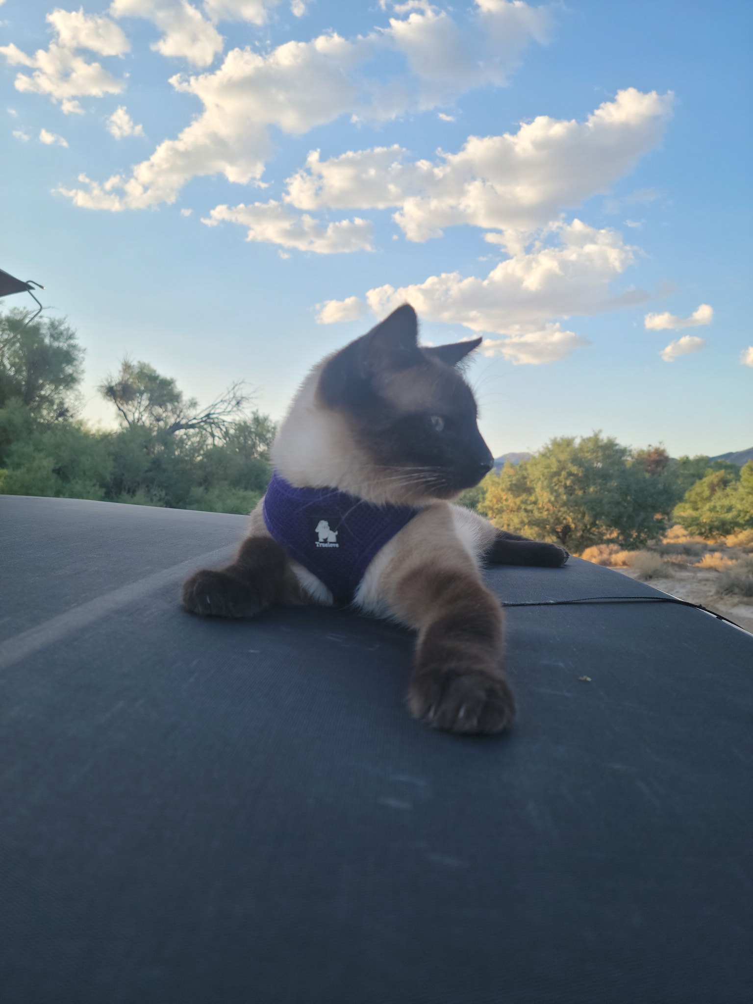 20210720_190940
 20210721_103346
 20210721_123450
 20210721_124302
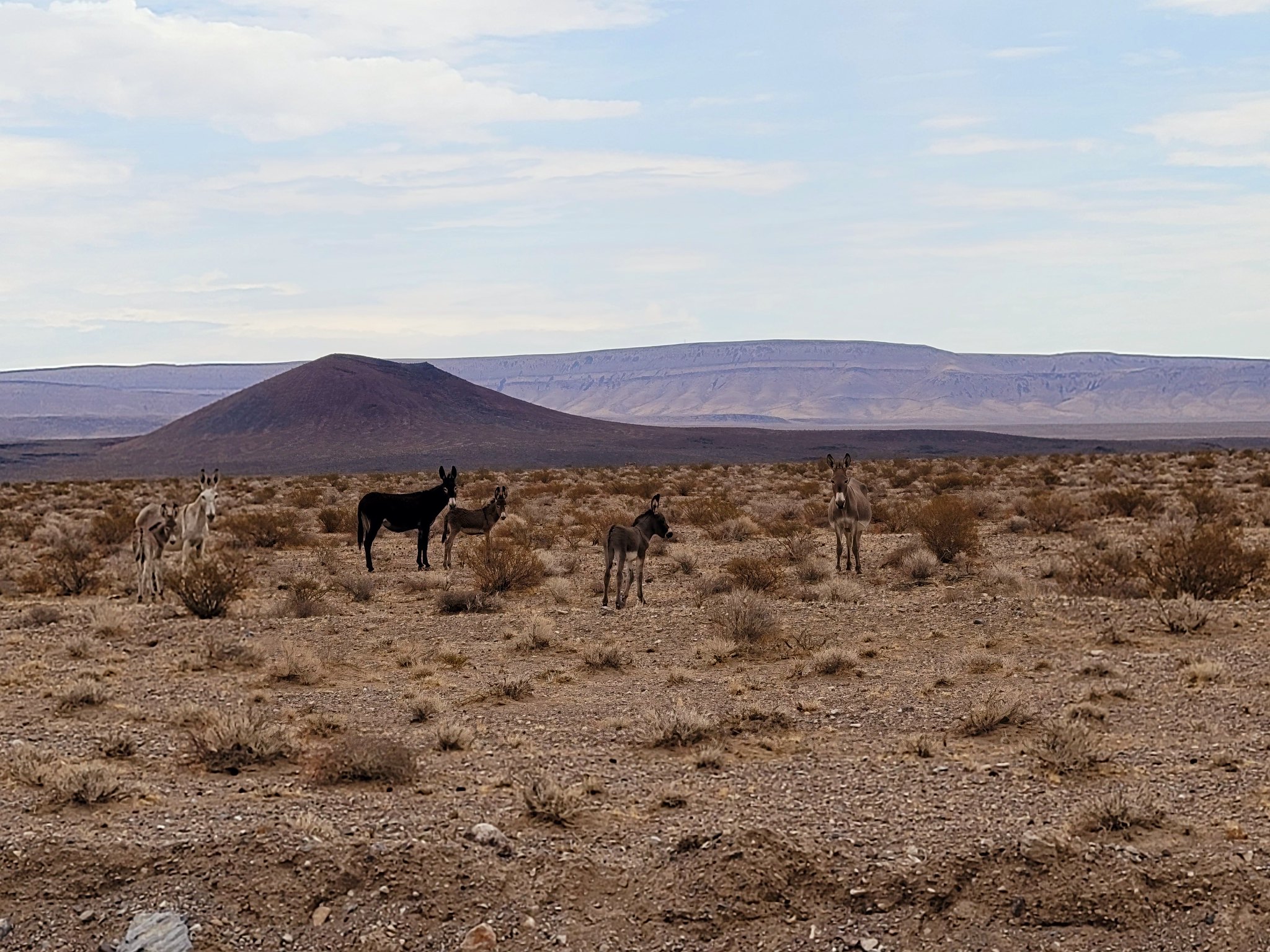 20210721_121636
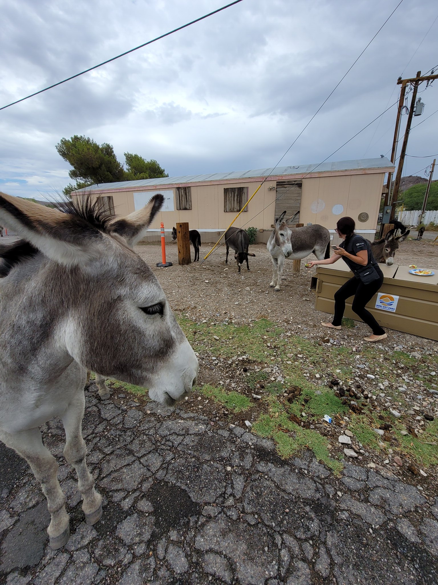 20210721_131946
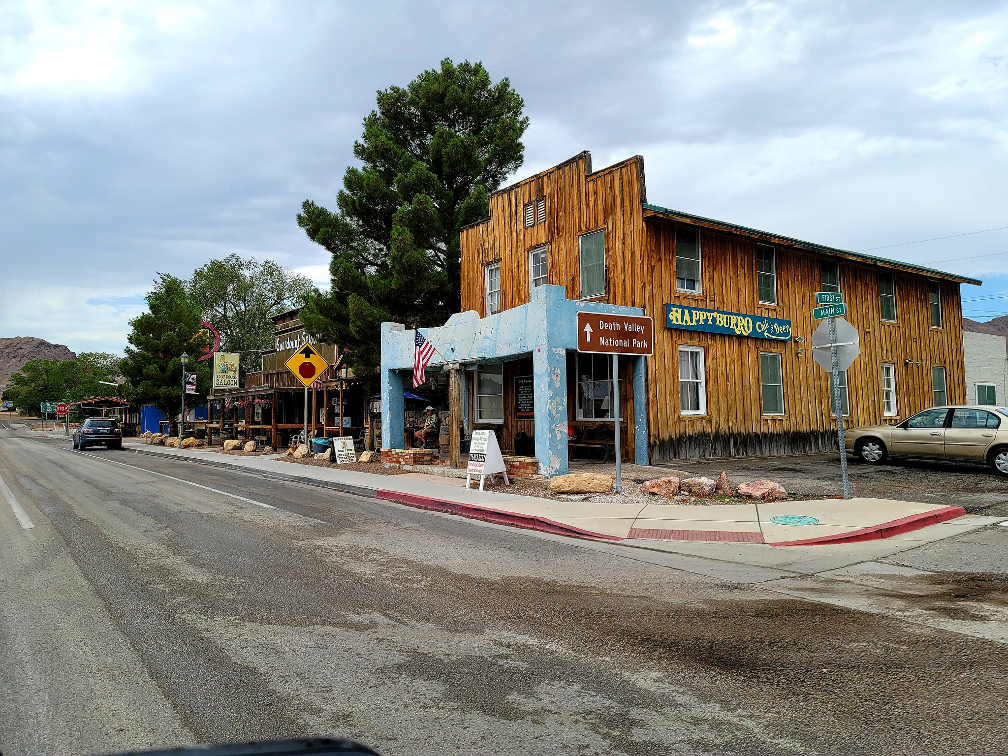 20210721_135134
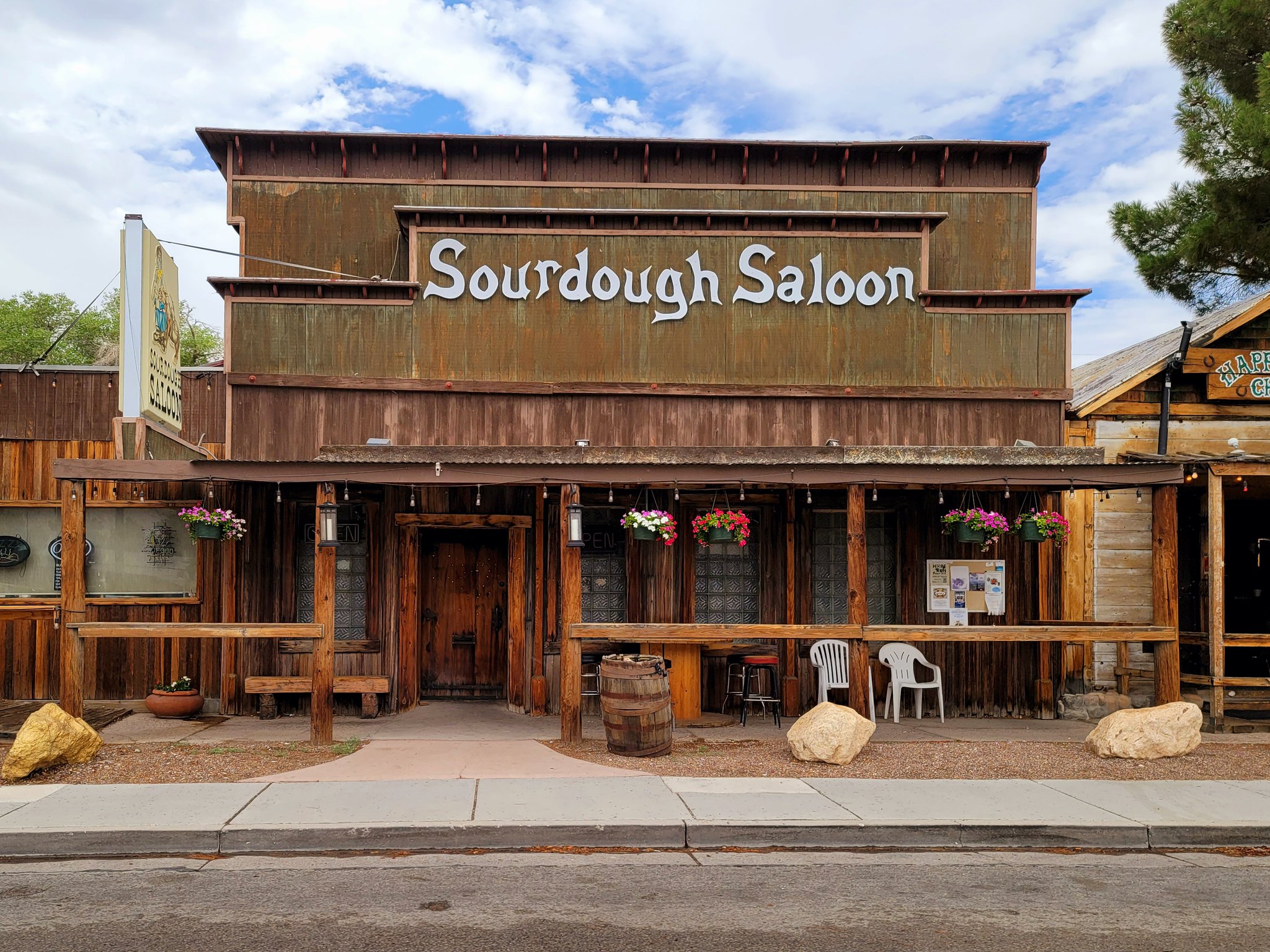 20210721_135137
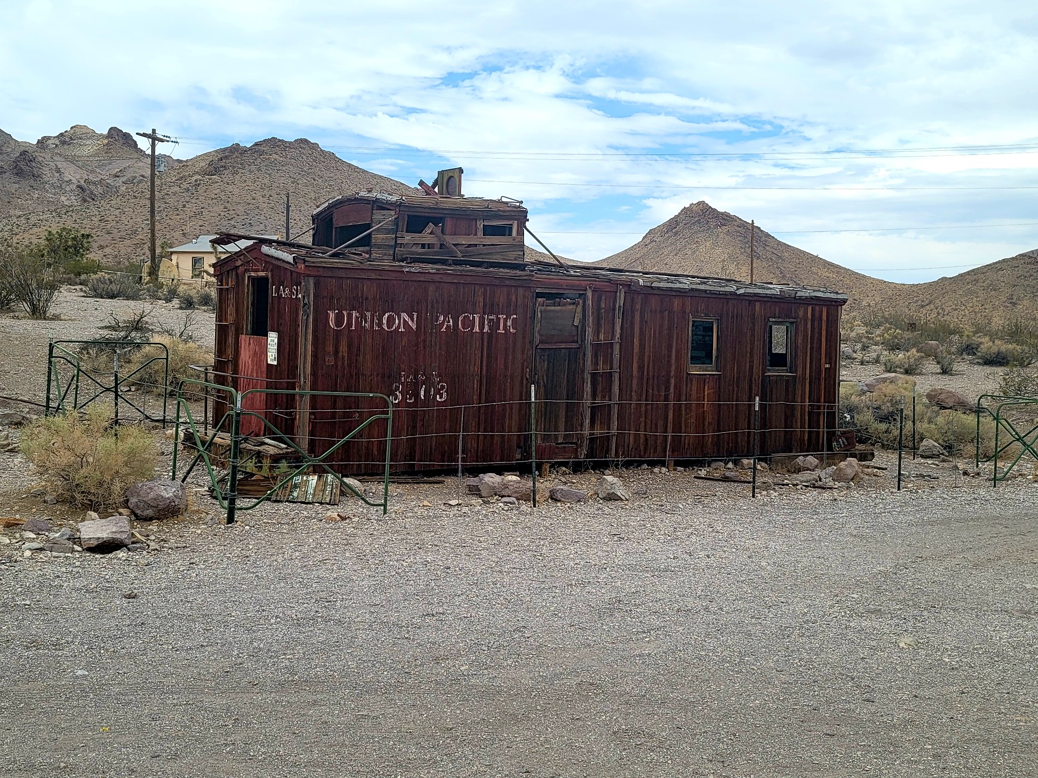 20210721_140835
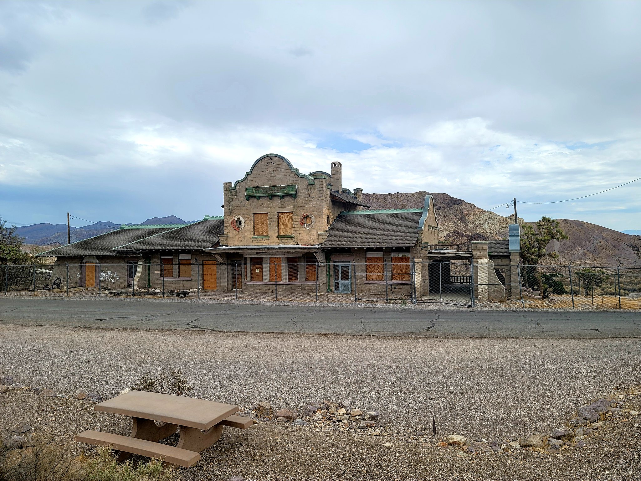 20210721_141035
 20210721_141230
 20210721_141452
 20210721_144050
 20210721_143802
 20210721_144654
 20210721_144707
 20210721_145826
 20210722_155135
 20210722_155138
 20210721_164945
 20210721_171937
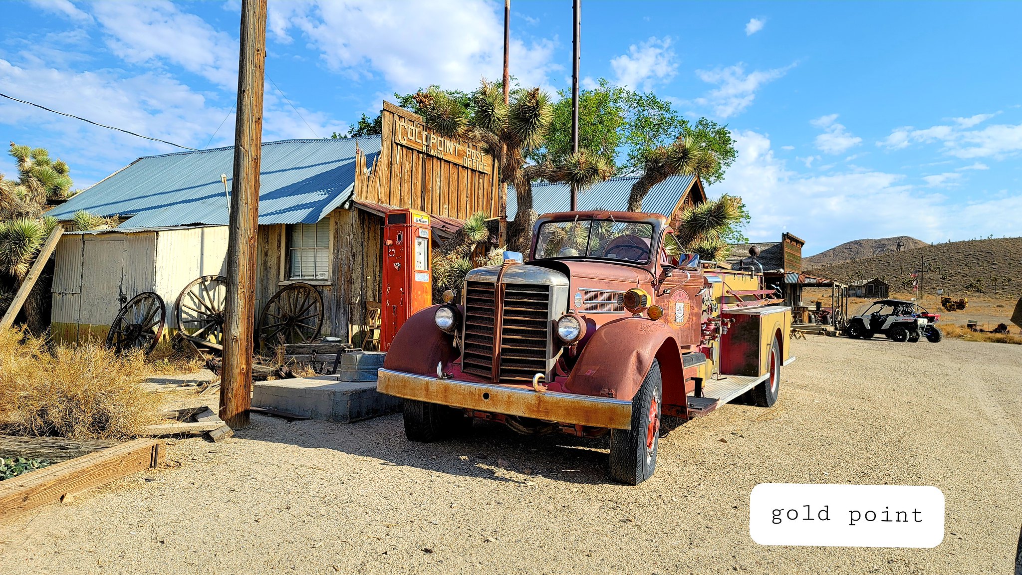 20210721_171942
 20210721_182551
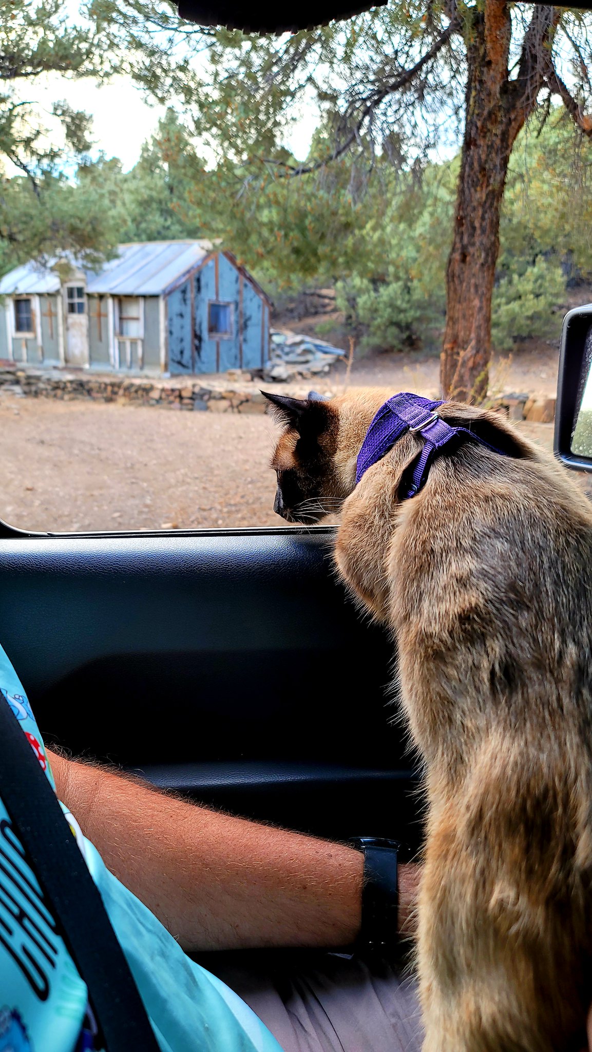 20210721_182716
 20210721_193307
 20210721_193342
 20210723_163654
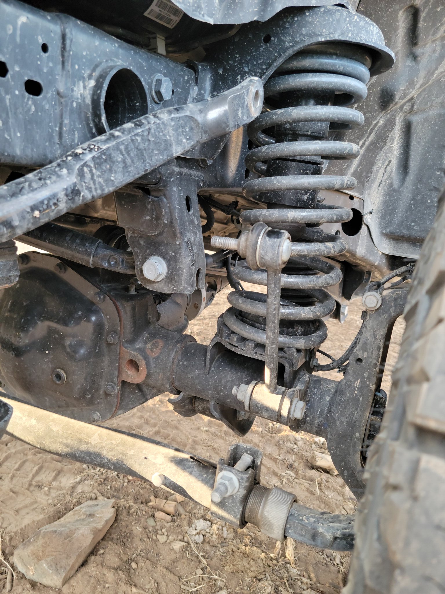 20210721_190008[1]
 20210722_125828[1]
 20210802_143223[1]
 20210802_143237[1]
 20210722_134412
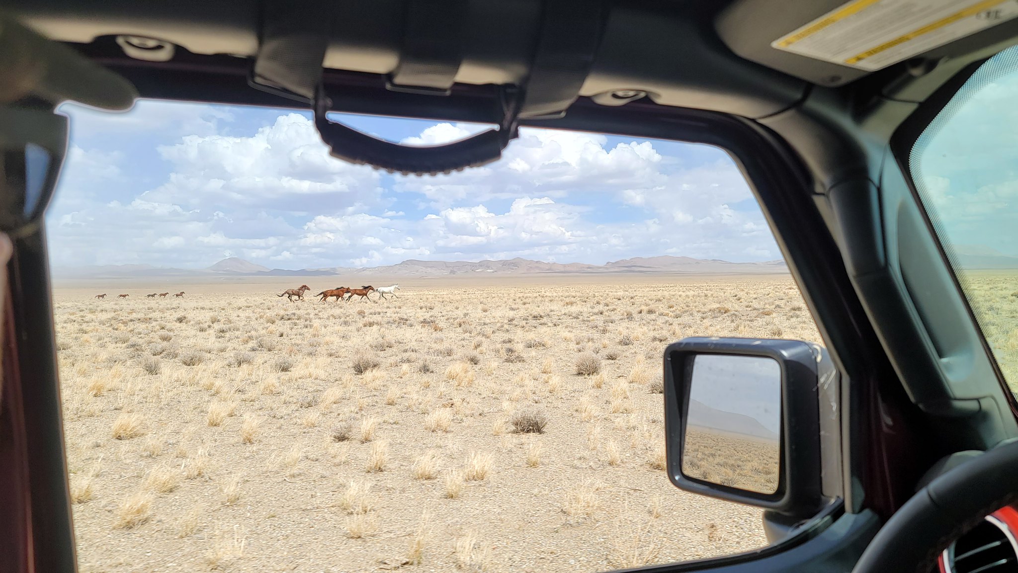 20210722_143210
 20210722_143214
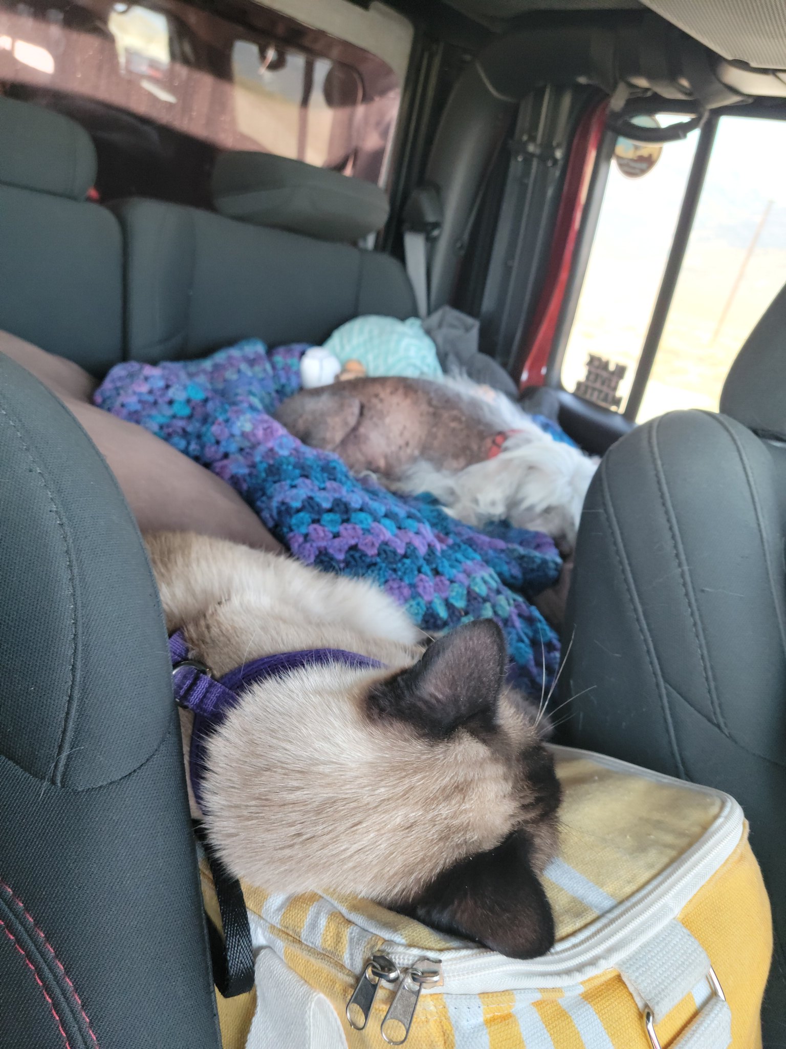 20210723_110913
 20210723_113819
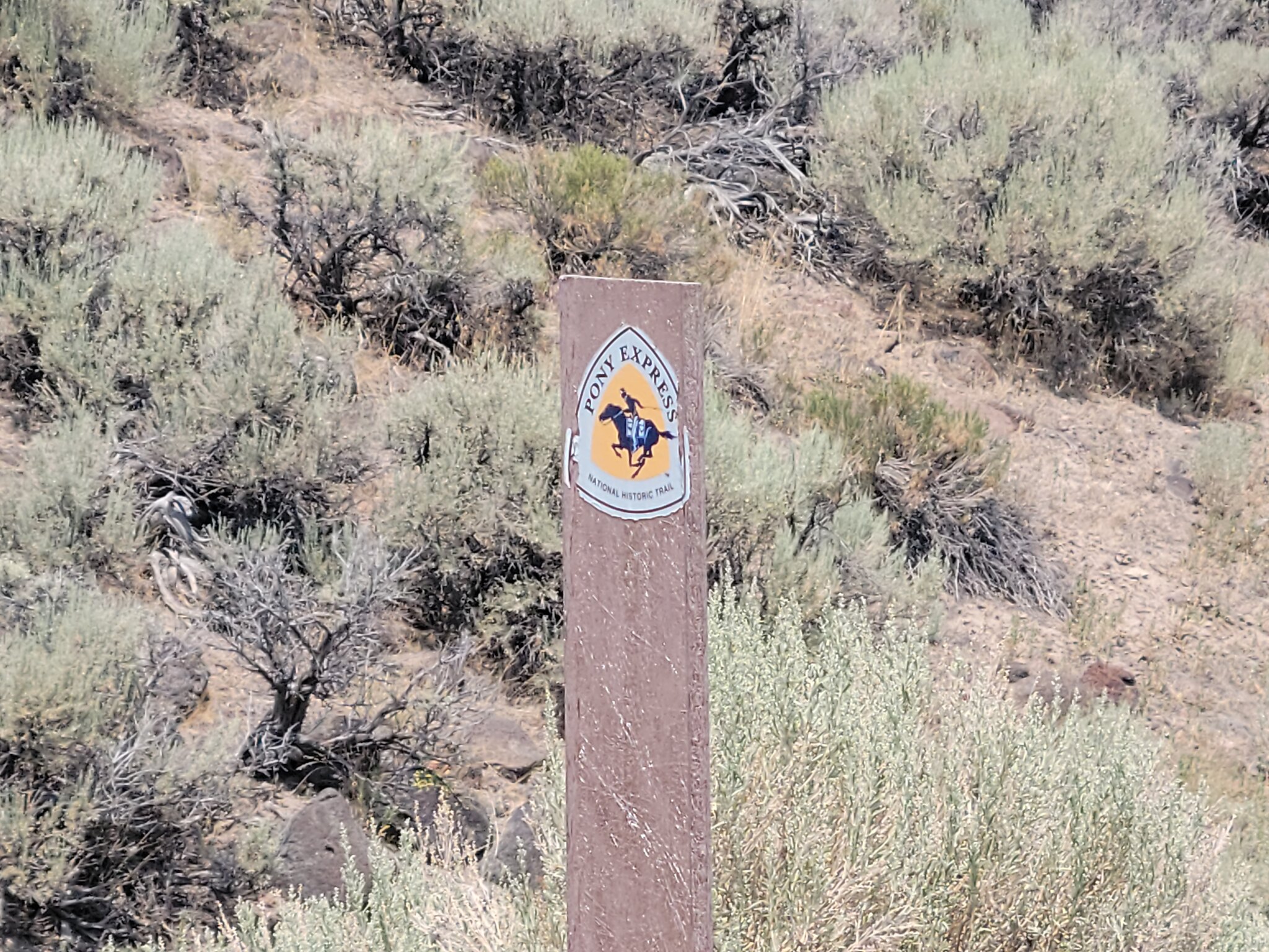 20210723_140824
 20210723_135829
 20210723_130134
 20210722_165718
 20210722_162505
 20210722_194509
 20210722_195636
 20210722_195642
 20210721_212604
 20210721_212203
 20210723_072120
 20210723_072443
 20210724_101644
 20210724_105433
 20210723_142317
 20210723_114941
 20210723_102151
 20210723_112924
 20210723_120914
 20210723_120334
 20210723_121330
 20210724_144032
 20210721_171527
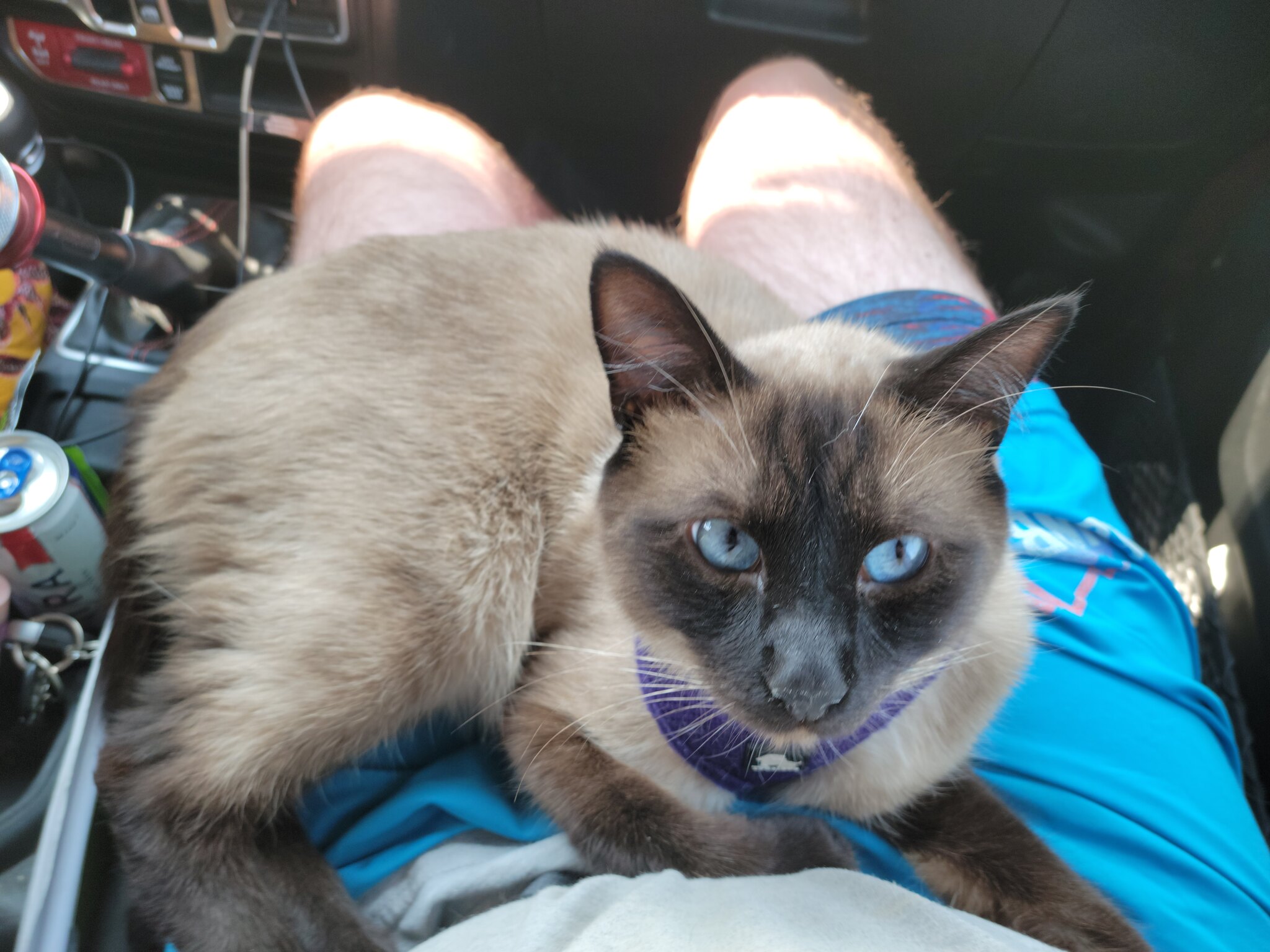 20210724_151822
 20210724_085346
 20210723_212615
 20210723_205959
 20210723_210203
 20210723_210304
 20210723_212926
 20210723_212941
 20210723_213047
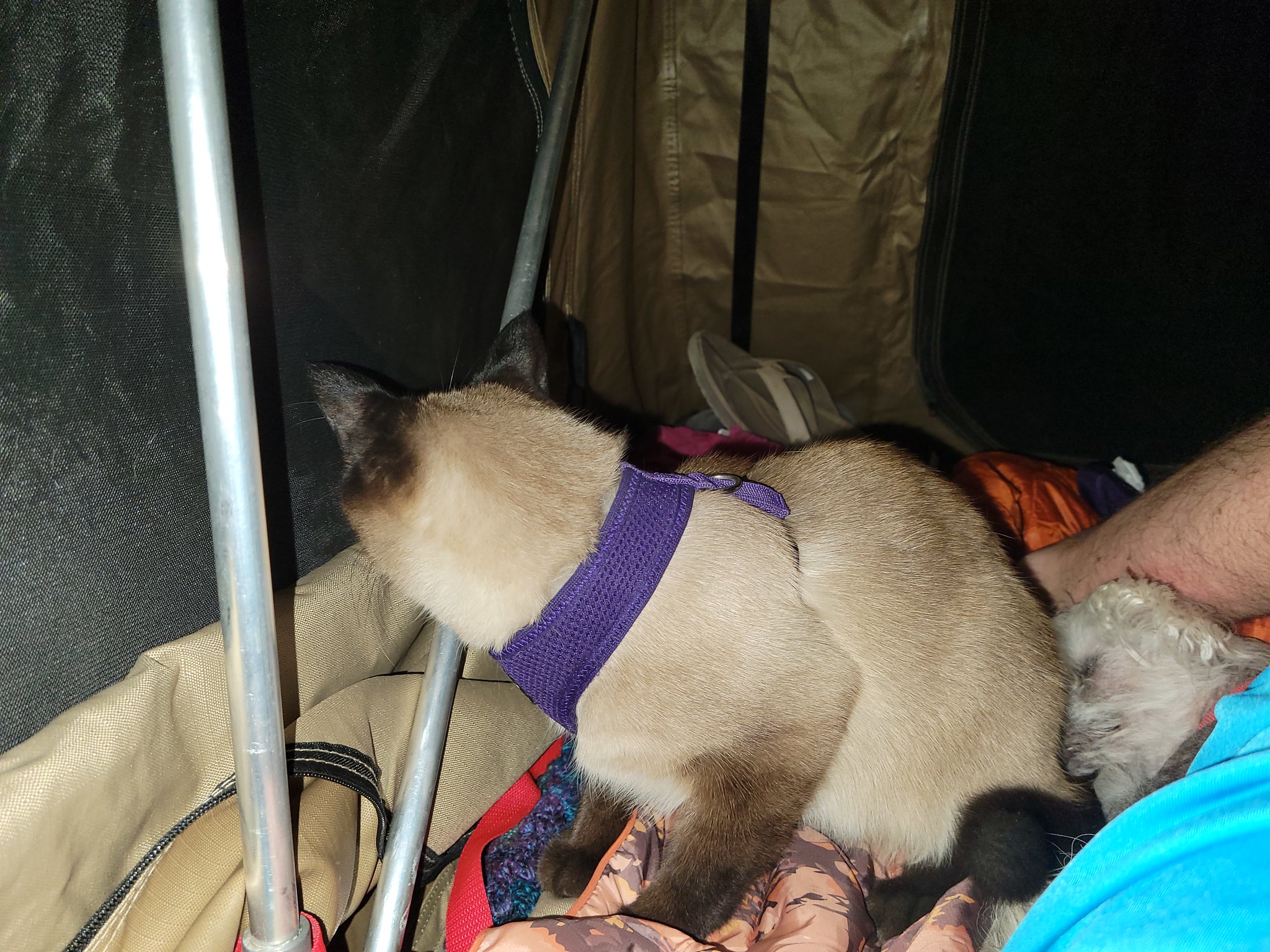 20210723_225652
 20210719_214622
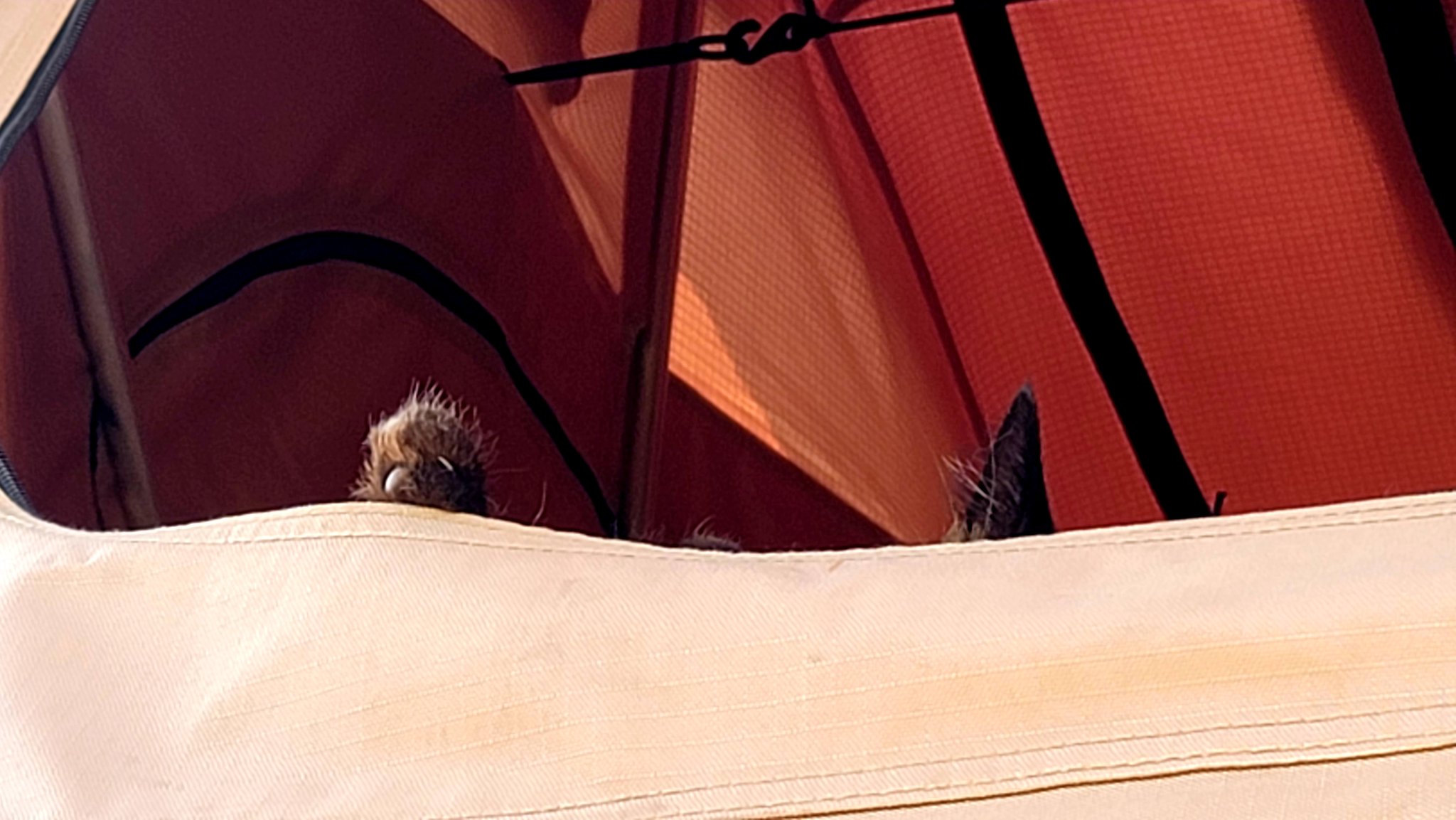 20210724_090906
 20210724_090854
 20210724_083606
 20210724_083745
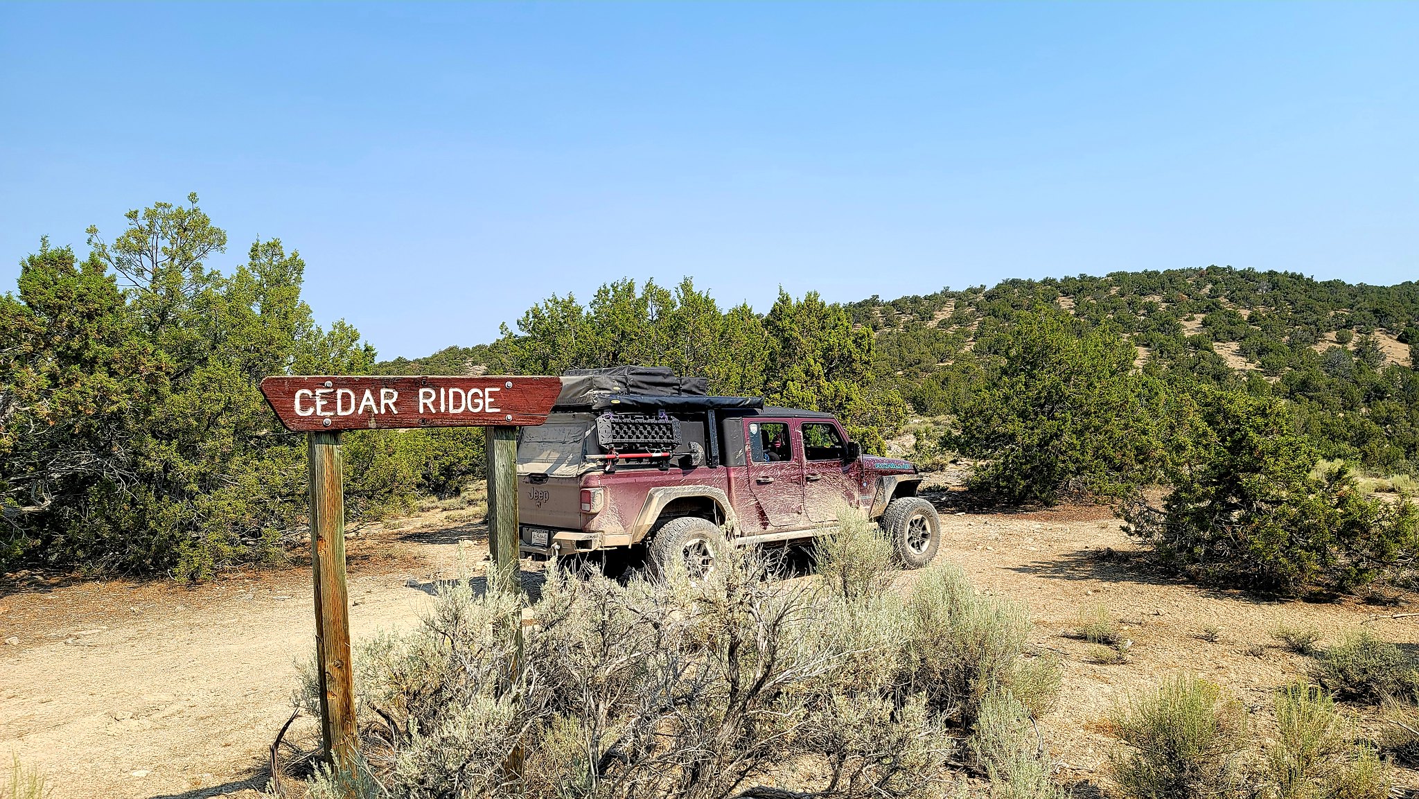 20210724_094646
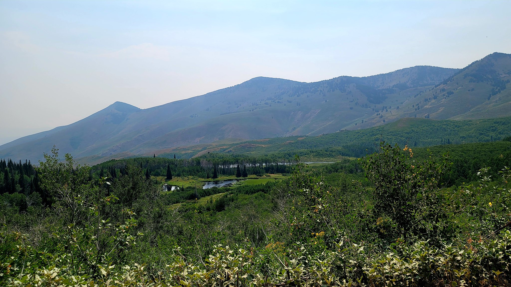 20210724_150817
 20210724_151022
 20210724_145549
 20210724_163802
 20210724_155220
 20210725_175237
 20210725_175353
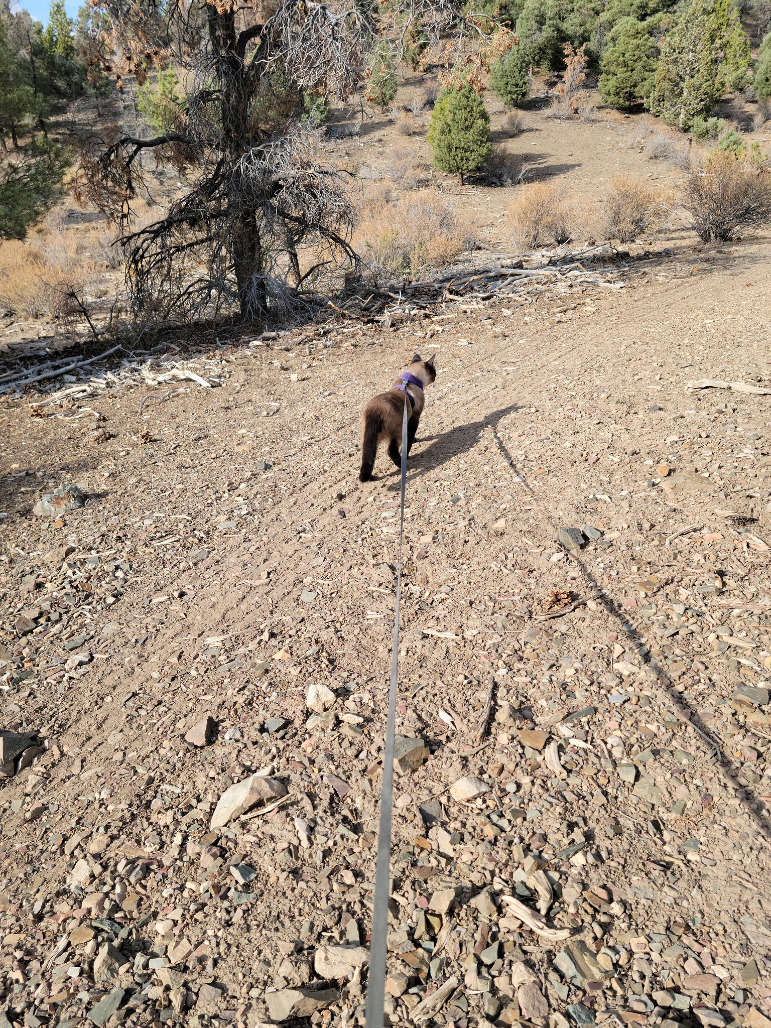 20210722_080709
 20210720_183803
 20210720_183804
