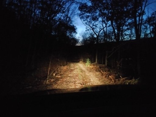
Connecting the forests in Central Pennsylvania

  • HTML tutorial

Dusther210

Rank VII
Member

World Traveler III

5,483
Oakland, Bergen County, New Jersey, United States
First Name
Dustin
Last Name
Helms
Member #

24720

Ham/GMRS Callsign
KD2UNH
Service Branch
USAF
@Dusther210 did you click the link to the route and load it into google maps?

Other than that...i am not sure how to get it to any other app
I was able to pull it up on google maps. No worries, just me being greedy
Thank you for sharing!!
 
  • Like
Reactions: DevilDodge

DevilDodge

Rank IV

Advocate I

1,135
Altoona, Pennsylvania, USA
First Name
David
Last Name
Spencer
So I ran the first part/southeast Map side today.

This was awesome to be on dirt so long.

And tram road to peale road...was worth the trip in itself.

Wife and son said it was the most fun road we had been on...with all the rain it was like driving a shallow stream.

I would have to say going the other direction would be eben more fun.

So. This can be done in any vehicle with a decent ground clearance. But...if you do not...a bit longer on dirt reroute can be done
 

DevilDodge

Rank IV

Advocate I

1,135
Altoona, Pennsylvania, USA
First Name
David
Last Name
Spencer
Here are some links to my other threads with pics and further explanations of my scouting.


DevilDodge

Rank IV

Advocate I

1,135
Altoona, Pennsylvania, USA
First Name
David
Last Name
Spencer
My opinion of some sites in BESF.

Below Route 45 is the most popular and has the most to see overall.

Site 47 is probably our absolute favorite site. A vista near by. Clear up on top of the mountain sunk way back in from the road. Very peaceful...except for the planes...you are way up there...geocache nearby.

Site 48 and 69. Huge sites. On opposite ends of the forest. Easy to get to. 48 is a bit more secluded. Great for groups or larger campers.

46 is our 2nd favorite. Unfortunately our huge tent will not work here. Great for smaller tents and room for a couple rigs. The Gem is for hammock campers. A trail leads from the site down to a stream and is very secluded.

45 is a good one if you have a long travel trailer...otherwise...it is just a nice site. But right near the main road into Poe Valley SP.

61 has a lean to right on site. Not good for an RTT setup...but great if you want to bring no shelter...it is already there. 62 is right up from it...and not to bad. Not really an RTT site...but I have seen them find a way to work. 63 is just up a little more and is near an intersection...but a great spot for a pop up camper.

64 and 65 are pretty nice on the very south side of the forest. 64 is on a dead end road. Near some good hiking. They are also easy to get to from the main road.

41 42 and 44 are walk in sites. You park near the road and take your stuff back to the site. Some good hiking by them...and right above Poe Valley SP.

Site 70 is an ok site...easy to get too...but right on the road. Right by 69.

66...nothing about it I liked. Close to the road and unlevel.

Those are all the southern sites.

Screenshot_20210928-125957~2.png
 
Last edited:

DevilDodge

Rank IV

Advocate I

1,135
Altoona, Pennsylvania, USA
First Name
David
Last Name
Spencer

I need this for my adventures.

Wish I had the time off to fly out to OR and drive it home. Man I hope this goes to someone who will appreciate it and eventually sell it to me when I am more able to use it...one can dream
 
  • Like
Reactions: MuckSavage

DevilDodge

Rank IV

Advocate I

1,135
Altoona, Pennsylvania, USA
First Name
David
Last Name
Spencer
@DevilDodge I love it! Having owned a '56 & '75 Power Wagon & an '89 Ramcharger, I love it! I wish I had time to share the driving duties back east with you!!!!
Also, a buddy had a Plymouth Trail Duster the same colors as that camper!
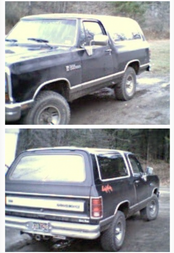
Here is an old terrible pic of my 89 Ramcharger.Screenshot_20210306-191605~2.png
I had a 77 also.. My first 4x4... No pics.

I would do about anything to still have my 79 Trailduster... Especially now that my son and I do this sometimes our selves. It would be perfect for the hobby.

If I had the funds to blow right now...we would be making that road trip.
 
  • Like
Reactions: TSO_NJ

DevilDodge

Rank IV

Advocate I

1,135
Altoona, Pennsylvania, USA
First Name
David
Last Name
Spencer
Some thoughts on sites in Moshannon

Medix Run Sites
1 - bigger site for trailer
2 - smallish but will work
4,3 - side by side sites, if occupied together large space. fishing area would skip if solo
5- small but also has some space
6 - small and on road
7- smaller than 8, stony
8 - large
9 - tent only site. parking along rd, short haul across creek to camp area
10- on the road, least favorite

Shagger's Inn
1 off to the left and grassy
2 in the center gravel
3 off to the right and grassy.

I hope to get up during the daylight and get better descriptions and some photos.
 

DevilDodge

Rank IV

Advocate I

1,135
Altoona, Pennsylvania, USA
First Name
David
Last Name
Spencer
Some thoughts on Rothrock sites.

1. Large. Has a gate. Not really near anything. Nice.
2. At the top of the hill. Near the Indian lookout. Close to the road...but great spot for hammock camping. Great views near the site
3. Flat. Large. Has an awesome stream with swimming area back a trail. At an intersection...but not overly busy.
4. Large, flat. Near the popular parts of Rothrock. Kinda of a challenge to get a trailer into.
5. Large. Has a concrete pad. Next to road. Is just outside of Bald Eagle SF. Great spot for exploring both forests.
6. On dead end road. Up away from road. Has always been occupied so no real Intel.
7. On dead end road. Secluded from road. Near some great hiking and bouldering. Short drive to hawk watch. Short drive to Greenwood furnace Sp. Very secluded at night.
8. Down near Raystown lake. Mainly an equestrian site. Busy area. Away from the main forest.
 

DevilDodge

Rank IV

Advocate I

1,135
Altoona, Pennsylvania, USA
First Name
David
Last Name
Spencer
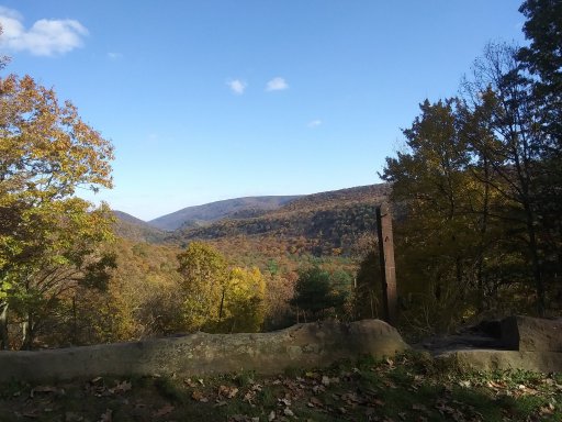
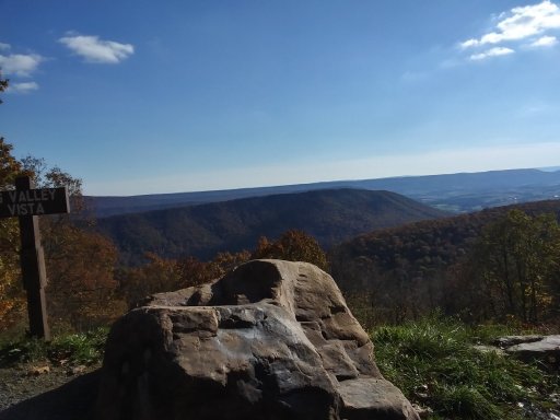
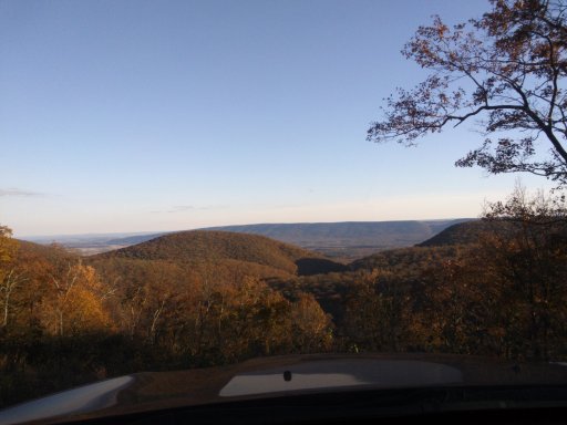
I had a very productive off pavement adventure yesterday.

Got through Rothrock, Bald Eagle and into Tiadaghton SF. 155 miles and 7hours.

Found out exactly how much I hate following a route(even though it was my own). How much I hate technology...yep...it went down when I needed it the most. But was reassured a map will always be the best navigation tool.

Found out the 322 road construction is finally done and it is a totally different way to make the crossover form Rothrock to BESF. I will update this info in a few of my threads when I get the chance.

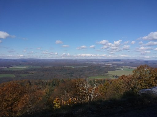
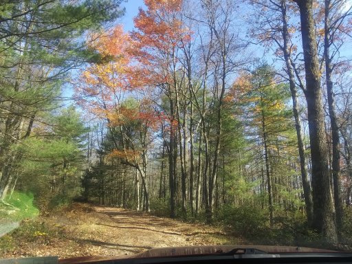
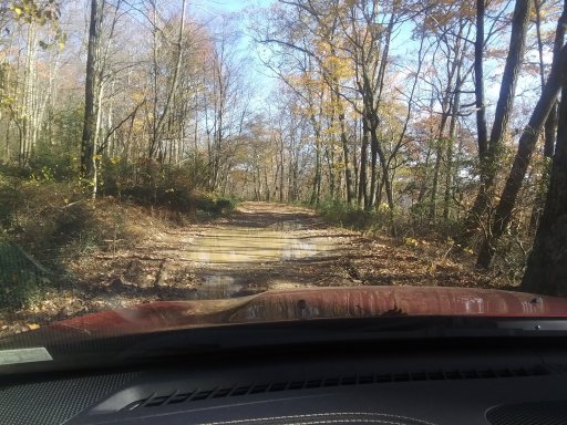
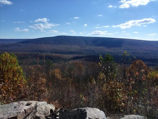
Anyways...some pics.20211105_120400.jpg20211105_130504.jpg20211105_131533.jpg20211105_132342_HDR.jpg20211105_145734_HDR.jpg20211105_151514_HDR.jpg20211105_164648_HDR.jpg20211105_180340.jpg20211105_183546_HDR.jpg
 

DevilDodge

Rank IV

Advocate I

1,135
Altoona, Pennsylvania, USA
First Name
David
Last Name
Spencer
What I took away from this trip. Connecting 2 maps(4 total sides), and 3 State Forests in 7hrs was exhausting. I started out taking my time and gathering pics. Then I started driving to complete the route, and that took away from the adventure.

I renewed my dislike for technology and following a route.

I much rather continually look at the map re guiding myself to something interesting.

When I trying to make the miles...you miss so much.

I figure each forest deserves one full day at minimum. I got the camping figured out for Moshannon, Rothrock and Bald Eagle. I need to get some scouting done in Sproul Tioga and Tiadaghton.

I can pretty much navigate Rothrock by memory...so figuring it will be the least time spent(I will make many short trips here anyways, it's my favorite)

Following the routes was frustrating as I had so many things I wanted to check off that it was hard to figure which one to follow. And the 322 crossover has changed so many times...but I believe the construction is done and I can now update my connection thread with the final info.

I need one good weekend to get to Sproul and the pine creek area. Might have to just take the quickest route by pavement and skip the route there by dirt.

Good times