Benefactor
- 15,584
- First Name
- Michael
- Last Name
- Murguia
- Member #
-
0000
- Ham/GMRS Callsign
- KM6YSL
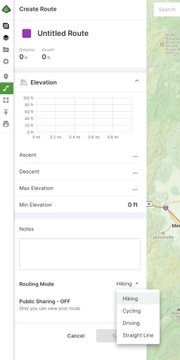
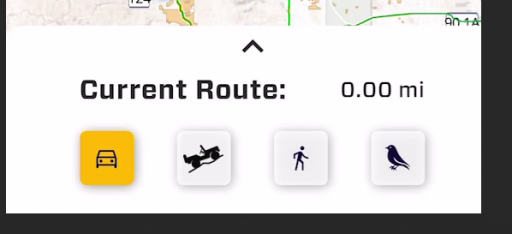
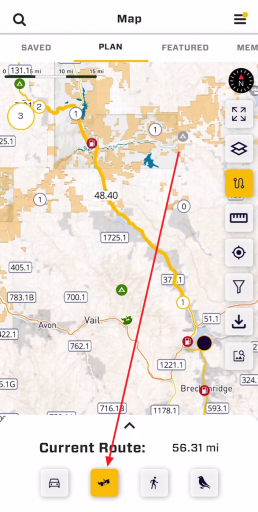
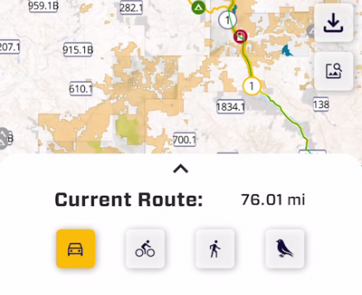
Very exciting! We are just about to release MVP of route planning in the OB1 app and it would be great to get a little feedback from you on one of the more challenging route planning options. The challenge is making it clear to you what is happening. We have four Route planning modes between waypoints and you can change modes any time. The modes are:
Car: This will route along maintained roads. Think Waze, Google, Apple maps.
Bike: This includes unmaintained roads like Forest Service roads and other paths - with a couple complications: 1. It will include paths you really should not be driving on 2. It optimizes routes in cities along roads with bike paths.
Walking: Hiking and walking paths.
Bird: As the bird flies. This is a straight line between waypoints.
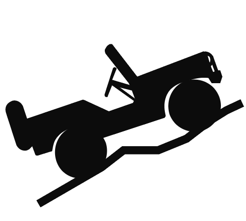
The complication is bike paths. If you start routing with OB1 and start plotting points on a forest service road in "Car" mode, it will not route along the road. Switching to Bike mode, it will route. If we make that icon an offroad truck, it will route correctly, but also have the anomalies mentioned above. I thing the offroad truck will be most clear to the community and result in more happiness with OB1 users, but have the tradeoffs. The question is, leave it a bike or make it an offroad truck?
Thank you!
Car: This will route along maintained roads. Think Waze, Google, Apple maps.
Bike: This includes unmaintained roads like Forest Service roads and other paths - with a couple complications: 1. It will include paths you really should not be driving on 2. It optimizes routes in cities along roads with bike paths.
Walking: Hiking and walking paths.
Bird: As the bird flies. This is a straight line between waypoints.
The complication is bike paths. If you start routing with OB1 and start plotting points on a forest service road in "Car" mode, it will not route along the road. Switching to Bike mode, it will route. If we make that icon an offroad truck, it will route correctly, but also have the anomalies mentioned above. I thing the offroad truck will be most clear to the community and result in more happiness with OB1 users, but have the tradeoffs. The question is, leave it a bike or make it an offroad truck?
Thank you!