Enthusiast III
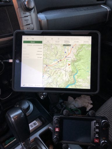
I'm new to using the GAIA app but was playing with it today while on an airplane from San Jose to LA. I thought it was supposed to be able to use the GPS even without cell service to track a route. I started recording a track during take off in San Jose. My location icon didn't move from San Jose until I landed in LA and got cell service. In reviewing much of the on-line GAIA help videos, my understanding was that it would even work in airplane mode.
I didn't download any of the maps for the route but I thought it would plot a general course on the CA outline that come up on the app.
It seemed like the day before on a similar trip, it was routing and even showing the altitude of the plane.
Any ideas as to what I'm doing wrong?
I didn't download any of the maps for the route but I thought it would plot a general course on the CA outline that come up on the app.
It seemed like the day before on a similar trip, it was routing and even showing the altitude of the plane.
Any ideas as to what I'm doing wrong?


