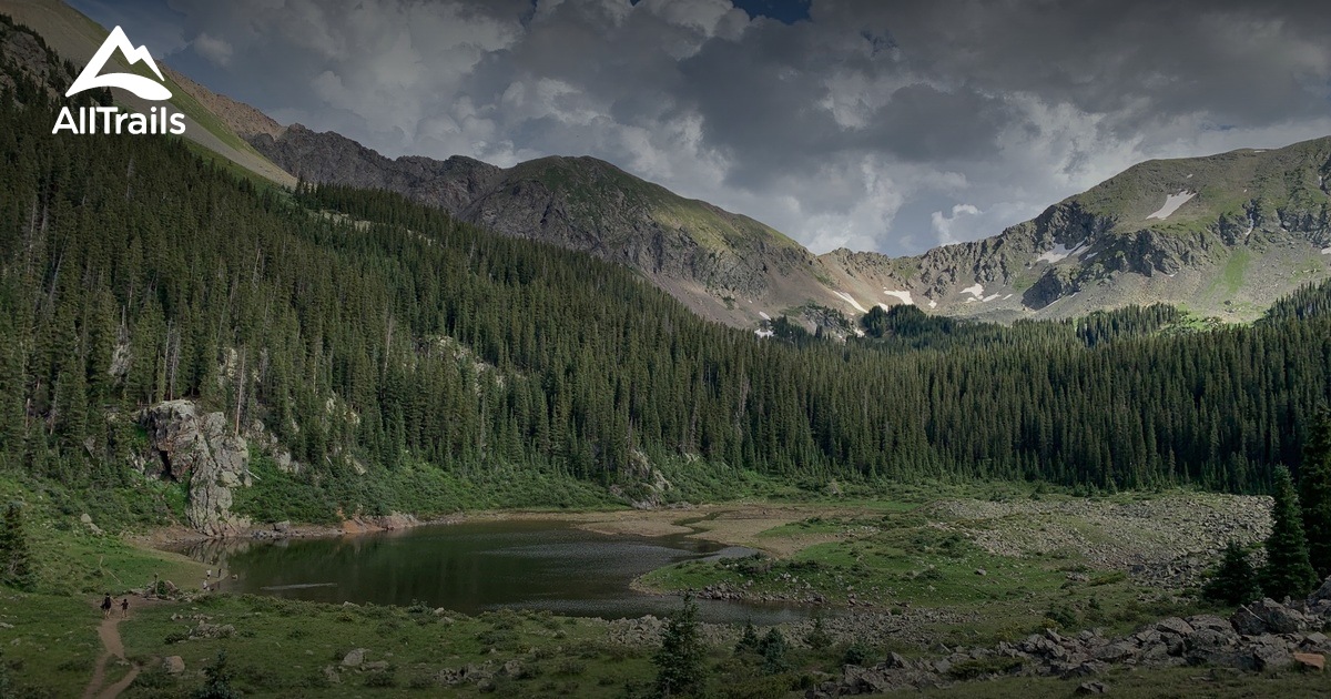
Is there something, app or program, that gives trails distinction. Maybe in order of difficulty. Green easy. Black hard. Blue small vehicles only. Yellow ok for large rigs. I’m having a hard time finding something that is labeled for the person that has a big rig and is new to driving it. Prior off roader was a, now seems so little, Colorado ‘16 so this F250 is like driving an elephant. A massive elephant.
Ideas? I’ll be mostly traveling solo and I need to get my experience level up.
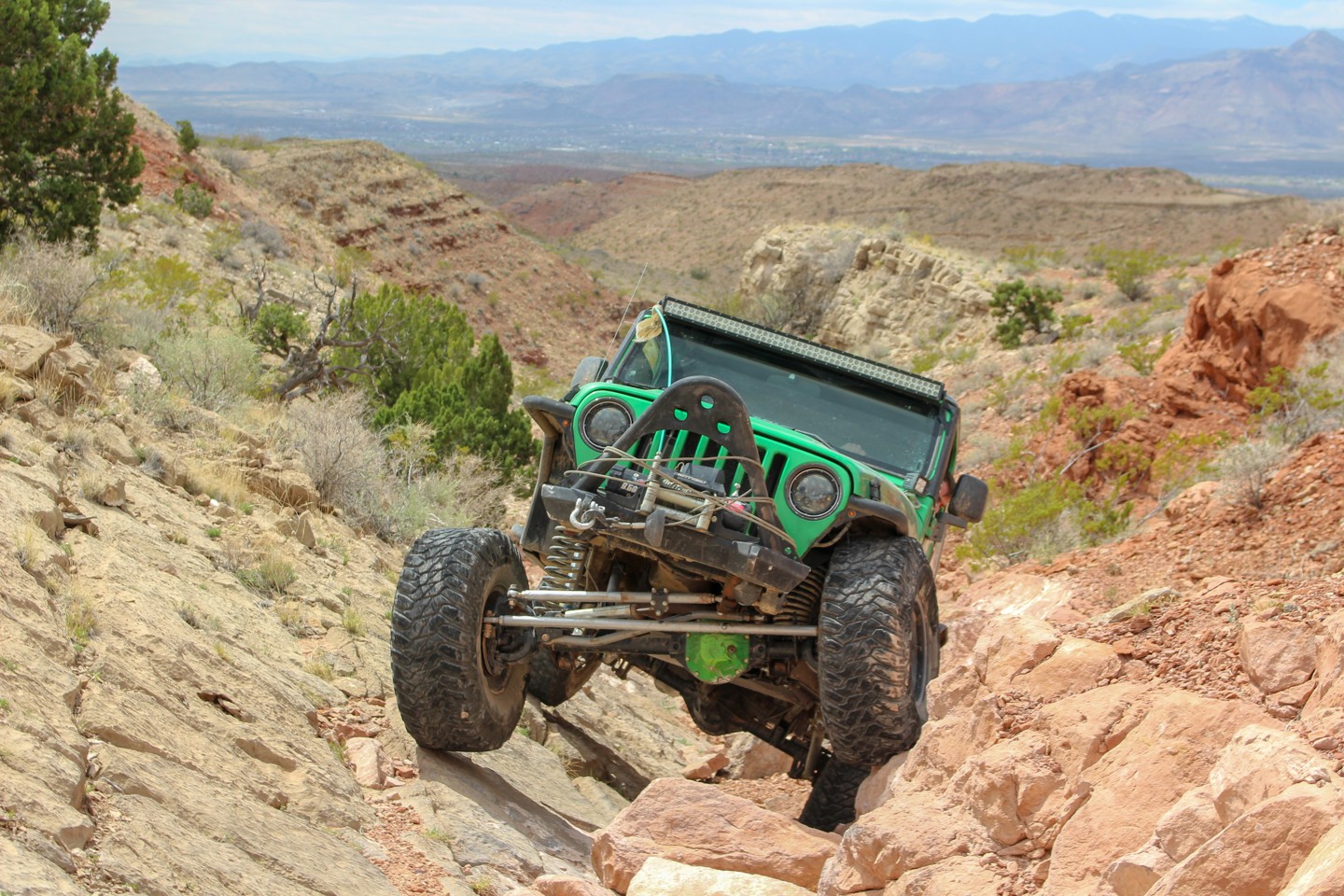
I’m seriously considering selling my TT and PU and getting a Jeep but I’m upside down in both at the moment. So hoping you can help me with this.
Thanks!!
That is a good question. I use a lot of resources. I probably will not even be able to list them all and there is probably an easier way. Here is my list:
- I use Back Country Navigator - it has different maps you can use. Some are better than others and some having a naming convention that help to identify the type of road. I you wanted to try it out there is a demo version you can download.
- Motor Vehicle Use Maps. You can download PDFs for certain locations but they also have an online map
MVUM
- I am kind of an off road book geek :). So, I have a lot of book about adventures and trails. Mostly for Arizona and Colorado.
- These types of books have mostly been replaced by the internet. I will pick an area I want to visit, search google maps for more specific areas and names of roads, and then search for those names or trails.
-
FunTreks is also good but currently, it appears they do not have any New Mexico trails list. The authors of the site also have books and maps for sales.
- the youtube channel
TrailRecon - how to find trails is good.
- I think the Overland Bound map will turn into something awesome.
- You can always ask members here about trails.
- Also
Life Style Overland has documented lots of New Mexico, and other states, trails.
- I also do a lot of scouting, which is very fun for me. I will drive to an area and mountain bike or walk it.
- In Arizona, maybe New Mexico, and maybe other western states, the National Forest service has a forest service road naming convention as:
road number, as follows:
- N F X, a single digit road is likely to be graded gravel or even paved
- N F XX, two digits indicates a good road at least for the first few miles from pavement, after five miles don't be surprised if it becomes 4WD
- N F XXX, three digits will frequently be a rough road or 4WD
- N F XXXX, four digits is almost always rough, narrow and/or 4WD if it exist at all, expect closures or washouts and no maintenance
Hopefully, this helps and little bit and is not information overload (I tend to do that).