So I tried to exercise my mapping skills for a short trip this weekend and discovered I need more edumacation, or at least a reminder that we should not rely on the fancy GPS maps where we're exploring:
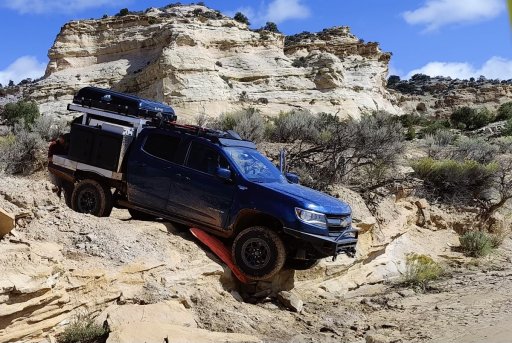
(For what it's worth, the "dispersed" camping in the South Platte Ranger District of Pike National Forest isn't really dispersed. It's designated and there are no amenities, but the sites themselves are immediately on the roads and only some are further apart than you would see in a developed campground. Not as much "dispersion" as I had in mind.)
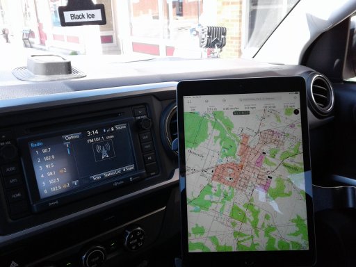
- Google Maps does not let you save a route. It will let you save locations, but not a route. I created a start and 2 stop route and after much wailing and gnashing of teeth, I discovered Google removed any internal save functions. It used to be there, but no more. The workaround was to email the link for that route to myself. I really used it to share my routes with home base. That has limitations though, when there is more than one choice for a route. It didn't save the secondary route I picked, just went straight to the primary with the additional route choices available. And of course, it's useless when internet is not available.
- Figured out how to download a map area within onX. Also created a piece of the route in it. Wasn't really useful beyond the map, where I was anyway. There weren't any off-road trails nearby.
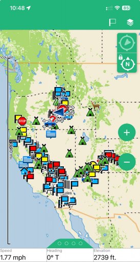
- Created a route on Gaia. Never bothered to see about downloading a map area. Beyond the layers, it seems to have the same information and usability as onX.
- I did like Gaia's Verizon service overlay, but it wasn't really all that accurate. Which I didn't really expect it to be. I found a few bars up there and it was semi-useful for check-ins.
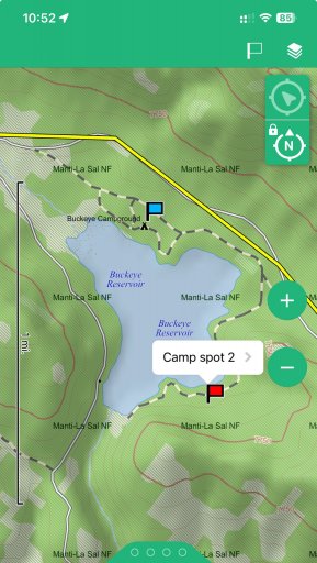
- I also used the free Avenza Maps, downloading free MVUM's from the ranger districts I wanted. I did not use the tools this time but there are navigation, route creation, route tracking, and other features like that. Additional features may be only available in the paid version of the app. The MVUM's, in addition to the ranger districts website, was the most useful in knowing exactly where camping would be allowed.
(For what it's worth, the "dispersed" camping in the South Platte Ranger District of Pike National Forest isn't really dispersed. It's designated and there are no amenities, but the sites themselves are immediately on the roads and only some are further apart than you would see in a developed campground. Not as much "dispersion" as I had in mind.)