Enthusiast III
Hey guys, and gals, I decided to create an “official” Trans New Jersey Trail thread. This is where you can find the “official” route and any route info you need to know. Also, this thread will be good for those to post info about the route; like road closures, detours, dangers, trees down, and anything else that may restrict access to the trail.
If anyone wants a copy of the route, it is FREE and available at the bottom of this post. I will accept donations if you feel inclined to donate to the beer fund. The donations can be sent to xplorr313@gmail.com. The donations are not required though!
Previously I charged for the route due to keeping the route out of the hands of those who were only looking to “off-road” or “wheel” illegally on state land. I received a lot of backlash from the off-roading / Overlanding community for charging for the route. I put over 2 years of my life into making this route, please stay on the path and DO NOT “off-road” or “wheel” off of the path. This could cause closures and could also land you in major trouble with the state, for example: a hefty fine or even vehicle impoundment. I’ve seen and heard about it happening. Do not think it won’t happen to you. The state does have trail cameras along some of the more “prone to off-roading” spots. You will get caught.
The route is current and up to date as of 1-16-2020. The most recent revision of the route was done on 1-16-2020. If you have any version older than 1-16-2020 please reach out to me for an updated version. I will keep this post updated with the most recent version of the route.
I HIGHLY RECOMMEND THE LEADNAV APP FOR THE BEST EXPERIENCE. LeadNav is only for iPhones and iPads. The route can be used on other devices, but the route was made with and for LeadNav.
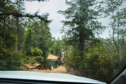
For those of you who are just learning about the Trans New Jersey Trail, the trail is a 450+ mile route that spans from High Point, NJ to Cape May, NJ. The trail consist of asphalt, gravel, sand, dirt, and some mud. The trail is 100% legal for all street legal vehicles. This means you must be registered, insured, and compliant with all DOT regulations (headlights, taillights, seat belts, turn signals, and so on).
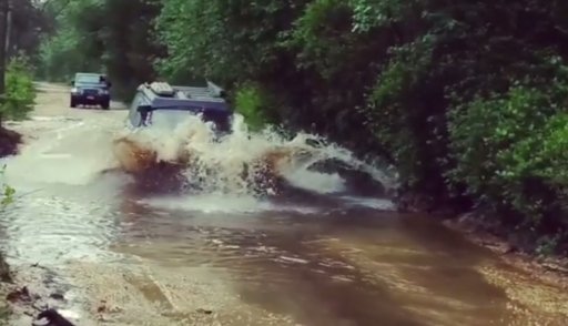
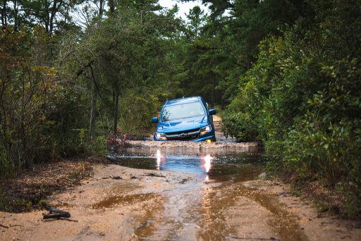
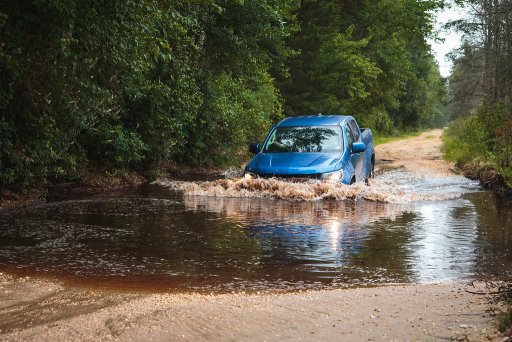
The TNJT can be completed in a Subaru as long as the driver is experienced. There is NOTHING complicated on this route. There ARE bypasses for those who do not have a snorkel or the ability to traverse deep mud holes. The bypasses are clearly marked as separate routes. The Zillon Bypass is recommended for those who do not wish to traverse down an extremely tight trail and do not want to risk the couple extremely sloppy mud holes along that part of the TNJT. The Zillon Bypass is 100% asphalt that bypasses the tight trail and sloppy mud holes.
The whole route CAN be done in 3 days. I completed the route in 4 days when I ran it start to end non stop in 2017. My 4th day on the trail only consisted of 50 miles and I could have just finished it on day 3.
The trail has 3 sections North, Central, and South. I consider the North section to go from High Point, NJ to Round Valley Reservoir (Spruce Run Recreation Area [campground]). The Central section to go from Round Valley Reservoir to Brendan T. Byrne State Forest (camping is available in Brendan T. Byrne State Forest). The South section to go from Brendan T. Byrne State Forest to Cape May, NJ. If you feel inclined to turn it into a 4 day trip, I recommend stopping at Belleplain State Forest for an overnight stay.
I do plan to offer 4 versions of the TNJT. A full length version, which is what I have been passing out to everyone, and the three sections. This will allow daytrippers to do the route one section at a time. I will post when the 4 versions are available. Right now just the whole route is available.
Anyone have any questions, please reach out to me by email or ask here!
Attachments
-
102.4 KB Views: 5,325
Last edited:


