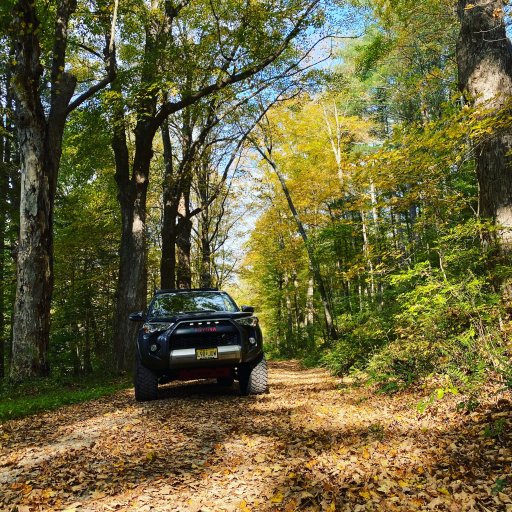
I hit the trail at 6 Flags/ Great Adventure & turned 91 miles in 6 hours ending up at Batsto. I cut/cleared 2 deadfalls in the Colliers Mils area.
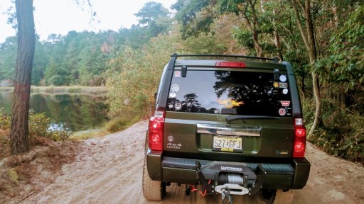
As I approached this guy started to beat feet then realized it woulda been a long jump down to the water. He sheltered in place & let me snap a picture.
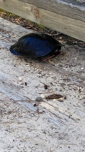
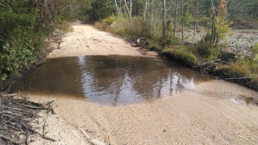
This is the location that
@Xplorr313 cautions us to bypass if we don't have a snorkle. Since it's been dry, I decided to check it out. The water was maybe 20" deep. I stayed left if headed south. A bystander advised me that there's a stump in the middle. (The water was clear & I didn't see a stump)
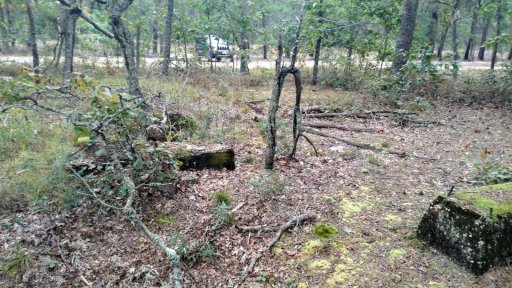
I stopped to checkout the saw mill ruins. Nice to see the graffitti "artists" haven't found their way here yet.
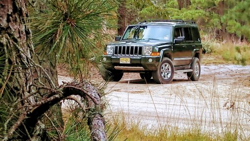
As I walked back to the Jeep, I snapped this pic & liked the way the colors came out.
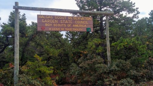
Passed a newer Wilderness Scout Camp. The land donated by the family that bears it's namesake.
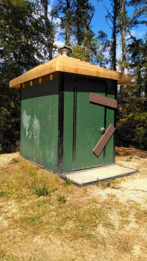
Stopped at Lake Oswego. Don'tcha love the meticulous way the State secured the latrine?
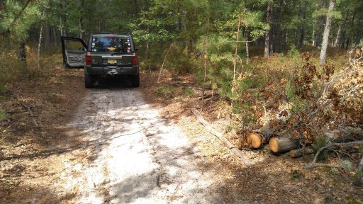
I checked on the report of a blockage on D-S Road. It seems this may have been it as it was already cleared. Thank You to whomever it was!
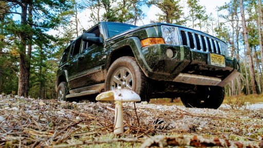
At some point I noticed this mushroom & thought it would make a cool picture.
As I passed Atsion & Quaker Bridge, I stopped to observe the closure of Goodwater Road as reported by
@DesmosDromos. As I walked the area, my interpretation of the closure is the gore area/sand hill between Washington-Quaker Bridge Road & Goodwater Rd. I decided to continue on Goodwater to Batsto where I exited the woods.
As always, a big Thank You to
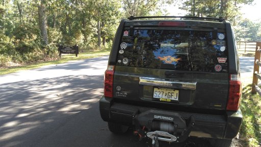
@Xplorr313 for building & maintaining this route. I gathered a large bag of trash. Also, it was nice to see a dumpster outside of Wading Pines Campground near Godfrey Bridge. It seems to have helped with the amount of trash left behind on the west side of the river by canoeists/tubers/kayakers.


