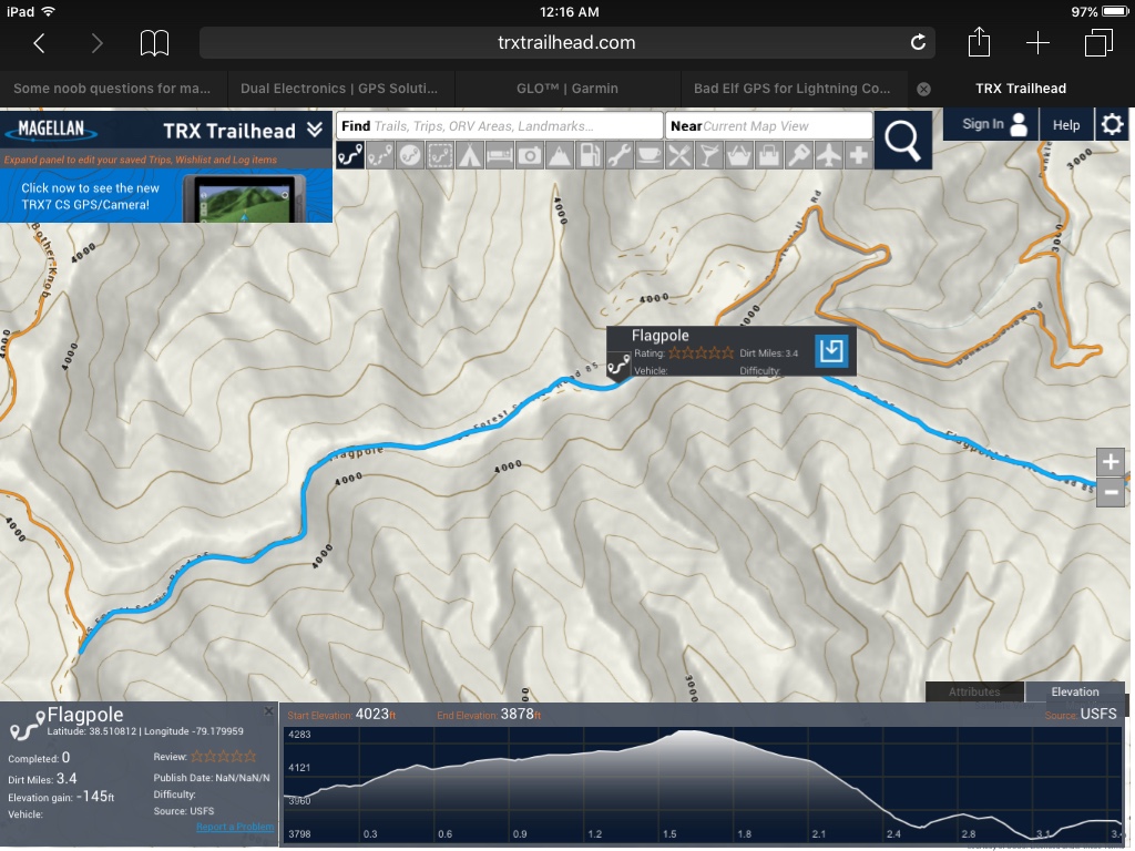
I'm trying to think of relevant background info to provide so it's easier for you guys to provide answers. I am a computer-literate and gadget-savvy. I consider myself an advanced DOS user (which is no longer useful, but verifies historical involvement) and I prefer rooted Android phones and tablets. I've built hundreds of systems, including my latest, which is a Hackintosh. Tech names immediately recognizable to me include Linus Torvalds, Kevin Mitnick, and Peter Sunde.
My current mapping and nav gear: a desktop computer, a 7" ASUS Android tablet, a 13.3" Chromebook, a Garmin Nuvi with updated maps and an SD card with the extras, a DeLorme inReach Explorer, an iPhone 7 running the IOS 11 beta with the Garmin Earthmate app. I also have the DeLorme Atlas for Virginia, the National Geographic Trails Illustrated maps (waterproof, tear-proof, etc.) for the area, and the Forest Service's Motor Vehicle Use Map.
My current area of interest is western VA between RT 33 and I-64. https://www.google.com/maps/@38.1681033,-79.8506683,10.17z THERE IS NO CELL COVERAGE IN MUCH OF THIS AREA which is why I'm needing to learn much of what I'm asking about here.
I recently watched @Michael 's excellent video for creating overland routes in Google Earth. I will say, it doesn't seem quite as useful when you have the impenetrable canopy coverage of a National Forest to contend with. Based on that factor, I think my trails will have to be marked from the ground via waypoints and whatnot. That's not an issue, I just haven't dialed in what the combination of hardware and software is that might be best suited for this job.
I have just begun exploring GPX files and how to use them. The first one I've spent any time with is Outbound Overland's Allegheny and Shenandoah Overland Trail. I've looked through it primarily with GPXSee but I am also running a trial version of Gaia GPS on IOS.
In the area I'm focusing on, a lot of the popular trails are already marked on Matt Alexander's Virginia Legal OHV Trails. I'm down for the offroading, of course, but that's not the primary attraction. My goal is to explore the area and find good places for overlanders to camp. That area is full of streams and rivers, so I want to highlight the sites with water, because I think those are the most useful.
Part of my problem is that I have only been an appliance-level user of these devices so far. Whatever the stock settings and features are, that's all I've made use of. Based on the hardware and software I have already, where should I start? What additions or upgrades might be of use? Is there a good way to convert the trails on Google Maps to individual GPX files that can be loaded on one of my existing devices? What other questions should I be asking at this time?
Last edited:


