Pathfinder II
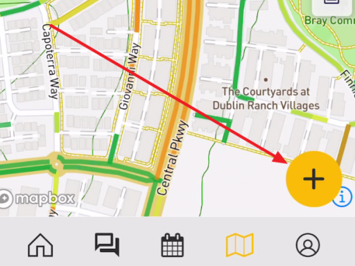
My wife and I are going on a 1,000+ trip in a couple weeks, and I was looking to put our planned routes into the Overland Bound One app and have everything about the trip loaded up into the (my wifes) iPad Pro for easy reference and tracking.
Historically, I've gone in to google maps, or my Garmin software created the routes and then just transfer them to my Garmin, Gaia, or whatever fancy tool I happen to be trying at the time. This has all ben done using the expansive monitor/desktop space of my desktop computer.
Now to get to my point, and please point me in the right direction.
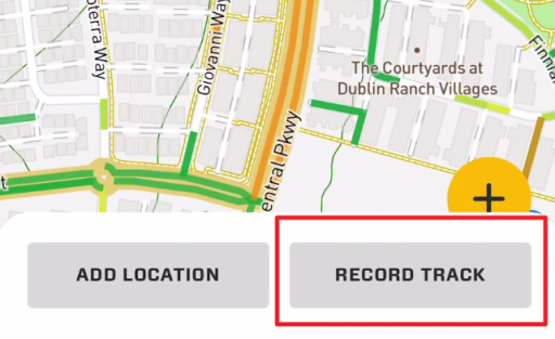
It does seem that I can go into Google Maps, create my routes and export them as a KML/KMZ file. Then I will have to convert that to a GPX file, send that to my phone, and upload it to the app? (I'm assuming that once it's in the app, I will be able to sync the installed app on the iPad so everything is there).
Is that the only current method for route/trip planning? If so, is there any plan to bring some of the planning side of things to the website so that we can have more powerful resources to assist with the planning before pushing the data to the more portable and "on the road" type devices?
I get that most everything in this world needs to be "mobile first", but that doesn't make it any easier for my Commodore 64, Apple IIe brain to process.


