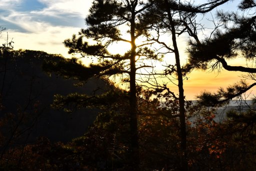
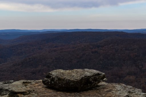
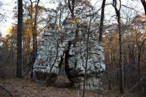
Ouachita and Ozark National Forest

  • HTML tutorial

Downs

Rank V
Launch Member

Member III

2,827
Hunt County Texas
First Name
Joshua
Last Name
Downs
Member #

20468

Ham/GMRS Callsign
KK6RBI / WQYH678
Service Branch
USMC 03-16, FIRE/EMS
The stories of sabatoge on the k arent unfounded either i picked this up in my tire about 4 years ago on the k.
Yeah I had read those stories prior to going didn't see anything or pick up anything. By the way hiya. I'm down in Greenville. We're practically neighbors.
 

Boostpowered

Rank VI

Member III

4,879
Hunt county, TX, USA
First Name
Justin
Last Name
Davis
Member #

14684

Yeah I had read those stories prior to going didn't see anything or pick up anything. By the way hiya. I'm down in Greenville. We're practically neighbors.
Yep im sure youve probably seen our silver colorado around town on the weekends usually getting groceries at walmart or passing through to go to tawakoni with the kayaks.
 

joshjunior

Rank IV
Launch Member

Enthusiast III

1,080
Memphis
First Name
Josh
Last Name
Smith
Member #

20802

Years ago the area the k trail is in was part of the national forest since then its been sold off to private individuals and timber companys so a mvum likely won't do much good. There are no signs because folks keep ripping them down in protest.
Ahhh had no idea. I've only been up there a few years back and plan on going soon. Last time I was in a Jeep with a bunch of fj guys and I just followed them around
 

William M. W.

Rank II
Launch Member

Enthusiast I

404
Lakewood, Colorado, United States
First Name
William
Last Name
Walker
Member #

11171

Hello Ouachita and Ozark Overlanders,

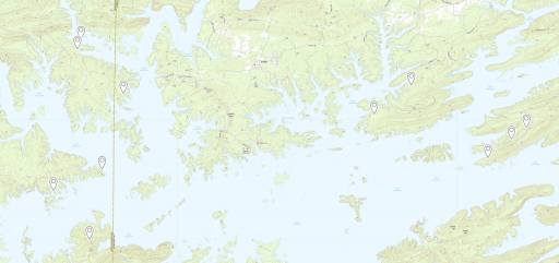
I have spent some time looking around for some things to see around Ouachita and have found a few places that look interesting. I'll probably end up building a route to get around to the different places before too long and clean up what roads are still open! Note: I found all of these using GaiaGPS (Satellite, USGS Topo, Public Land (US), and MVUM (USFS))

Does anyone else know some good spots around Ouachita that I might want to add?

Capture.PNG

Get out there,
William
 

Boostpowered

Rank VI

Member III

4,879
Hunt county, TX, USA
First Name
Justin
Last Name
Davis
Member #

14684

Hello Ouachita and Ozark Overlanders,

I have spent some time looking around for some things to see around Ouachita and have found a few places that look interesting. I'll probably end up building a route to get around to the different places before too long and clean up what roads are still open! Note: I found all of these using GaiaGPS (Satellite, USGS Topo, Public Land (US), and MVUM (USFS))

Does anyone else know some good spots around Ouachita that I might want to add?

View attachment 121192

Get out there,
William
We do alot of clean ups in the broken bow lake area since thats our go to area for offroading and camping . We use the nfs visitor map and a offline mvum. Beware most trails are gonna pinstripe your rig and right now alot of sxs and 4wheelers up there on the same tight trails.
 

Osteology

Rank II

Enthusiast II

336
Dallas, TX
First Name
Mark
Last Name
Ingraham
Boostpowered,
Would love to have your thoughts on this loop - Thinking about going up to the OK side of the Ouachita NF for a shakedown run with the new truck the first part of Thanksgiving week.
Looking for:
1. Fairly easy gravel/dirt
2. Nothing too tight - paint is still drying ;)


Open to other suggestions you might have for the Ouachita/Beavers Bend area....
Thanks!
 
  • Like
Reactions: Prerunner1982

Boostpowered

Rank VI

Member III

4,879
Hunt county, TX, USA
First Name
Justin
Last Name
Davis
Member #

14684

Boostpowered,
Would love to have your thoughts on this loop - Thinking about going up to the OK side of the Ouachita NF for a shakedown run with the new truck the first part of Thanksgiving week.
Looking for:
1. Fairly easy gravel/dirt
2. Nothing too tight - paint is still drying ;)


Open to other suggestions you might have for the Ouachita/Beavers Bend area....
Thanks!
I dont use gaia so i cant open that file, if your going on the west side of hwy 259 stay on the access road like cedar creek trail aka 51000, really just dont turn off the large acess rds and you would be fine, if you turn off onto a trail there you will get scratched up. On the east side of broken bow the main access road is the chisolm trail aka n4755 but on that side it can be difficult to tell if your in the nf or on the game reserve or on weyerhauser logging land. This is the road i reccomend you go and stay on if you dont want scratches they are rock roads though so you always have the chance of a rock scratching the paint too.
Dropped pin
Near 51000, Broken Bow, OK 74728
 
  • Like
Reactions: Downs

Osteology

Rank II

Enthusiast II

336
Dallas, TX
First Name
Mark
Last Name
Ingraham
Thank you, will definitely check out Cedar Creek. Sorry about the Gaia link - old man here trying to join the modern age. Thoughts on K-Trail (NF6025) east of 259? In general, the area: east of 259, south of 63, and North of Smithville?
Thanks again!
 

Downs

Rank V
Launch Member

Member III

2,827
Hunt County Texas
First Name
Joshua
Last Name
Downs
Member #

20468

Ham/GMRS Callsign
KK6RBI / WQYH678
Service Branch
USMC 03-16, FIRE/EMS
Some spots on the k trail will have tree limbs reaching out to your paint. I striped up my XJ in there and its pretty small. But tree stripes arent something i worry about.

Other than that the road is a rough 2wd road. Not smooth enough to go at speed till you get past the fire tower but not rough enough to need 2wd.
 

Osteology

Rank II

Enthusiast II

336
Dallas, TX
First Name
Mark
Last Name
Ingraham
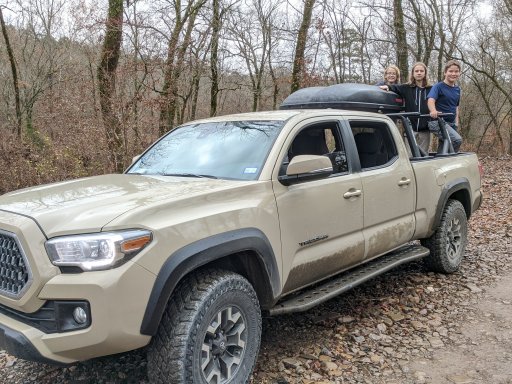
I did it from Clayton about 20 years ago in my old FJ40 :blush: Looking for something pretty tame (brand new Tacoma that I'm not quite ready to abuse and 3 boys out for the first time) and heard the section east of the fire tower, and especially east of Hwy 259 might be good

Cheers,
Mark
 

Downs

Rank V
Launch Member

Member III

2,827
Hunt County Texas
First Name
Joshua
Last Name
Downs
Member #

20468

Ham/GMRS Callsign
KK6RBI / WQYH678
Service Branch
USMC 03-16, FIRE/EMS
The clayton trail now dead ends. The company putting in the windfarm bulldozed the trail intersection earlier this year.
 

Osteology

Rank II

Enthusiast II

336
Dallas, TX
First Name
Mark
Last Name
Ingraham
if your going on the west side of hwy 259 stay on the access road like cedar creek trail aka 51000, really just dont turn off the large acess rds and you would be fine, if you turn off onto a trail there you will get scratched up.
Boostpowered,
Thanks again! Spent most of the time just north of Hochatown in the NF off of 259. I went west 259 on 51000 along Cedar Creek to the Glover River and East of 259 on 52900 toward the lake and Bee Creek Mountain. Didn't make it further north this time but planning to go back soon to the area south and east of Big Cedar, starting with NF6025 EAST from 259.
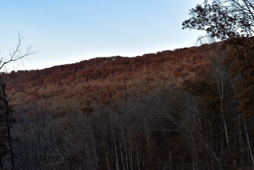
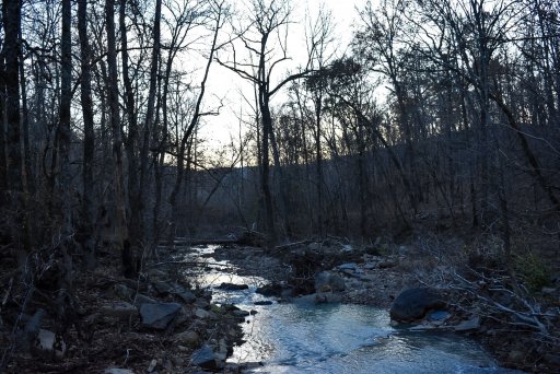
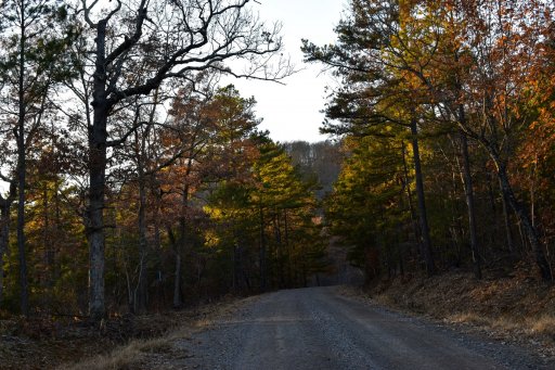
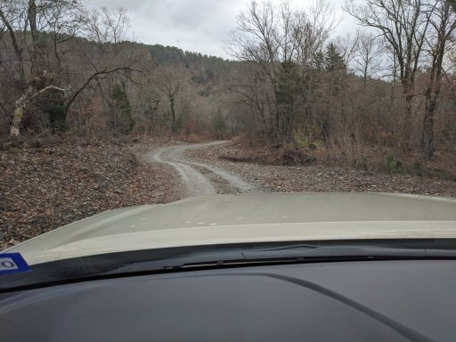
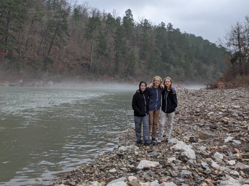
Boys had a great time!IMG_20191126_110801.jpgIMG_20191126_110717.jpgIMG_20191126_104917.jpg
 

Boostpowered

Rank VI

Member III

4,879
Hunt county, TX, USA
First Name
Justin
Last Name
Davis
Member #

14684

Boostpowered,
Thanks again! Spent most of the time just north of Hochatown in the NF off of 259. I went west 259 on 51000 along Cedar Creek to the Glover River and East of 259 on 52900 toward the lake and Bee Creek Mountain. Didn't make it further north this time but planning to go back soon to the area south and east of Big Cedar, starting with NF6025 EAST from 259.
Boys had a great time!View attachment 130294View attachment 130295View attachment 130296
No problem its really an awesome area. Weve been talking about buying a cabin property up there.
 
  • Like
Reactions: Downs

Osteology

Rank II

Enthusiast II

336
Dallas, TX
First Name
Mark
Last Name
Ingraham
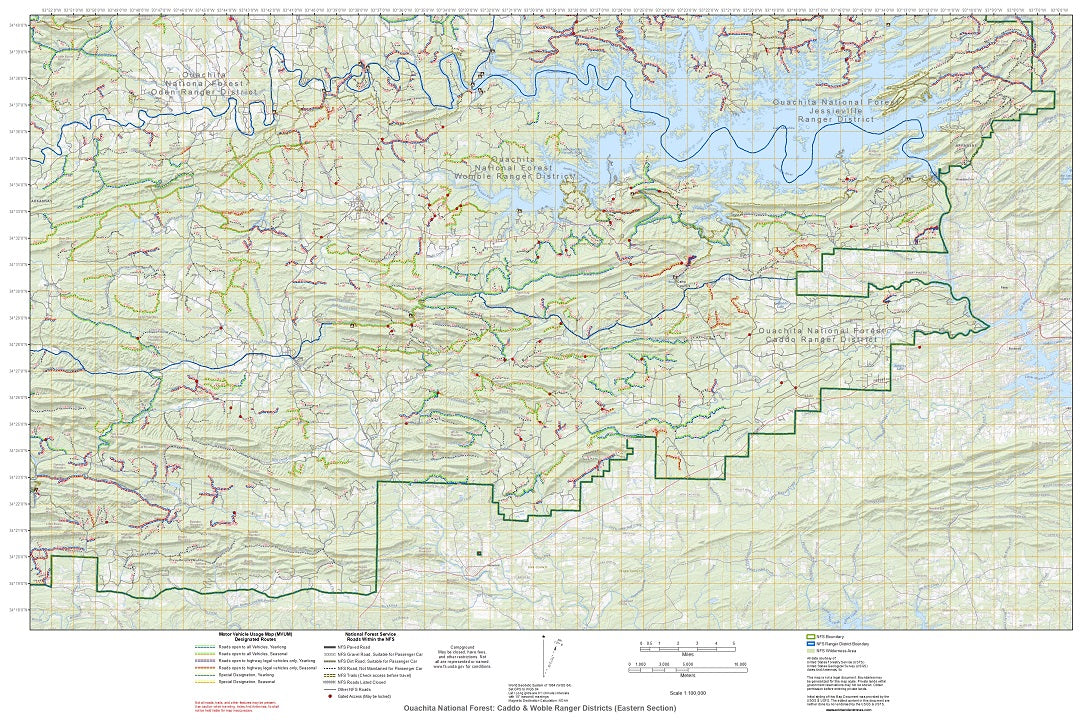
Just came across this: Enhanced MVUM maps for the Ozark-St. Francis National Forest (paper or Tyvek) that combine information from various sources. Prices seem more than reasonable to have the MVUM information compiled with the other information on one single hard-copy map.

Ozark-St. Francis National Forest

Here is a link to the project description on Reddit by the cartographer who put it together:


From the web site:
Contains:
Motor Vehicle Use Map (MVUM) routes in easy to read designations.
Other Roads and trails within the National Forest boundaries.
Forest System Road closures & gates.
Various Campgrounds (www.fs.usda.gov for conditions).
Topographic and geographic data (elevation, lakes, rivers, streams, etc) along with selected names.
Surrounding Ranger District Boundaries.
Wilderness Areas.

Each map covers approximately 1750 square miles and is roughly 35 miles x 50 miles (depending on landscape or portrait orientation).

I just e-mailed him and he's going to work on the Ouachita NF shortly!
 

Osteology

Rank II

Enthusiast II

336
Dallas, TX
First Name
Mark
Last Name
Ingraham
Well that was fast...... Maps for the Ouachita NF by ranger district:

The Beavers Bend/Broken Bow Reservoir area is the Tiak (northern) map
 
Last edited: