Breifly to the Mena area, but that trip got cut short by a massive rain storm. I ran part of the K-Trail in the ouachitas and I have been to the part of the ouachitas around Broken Bow. Everytime I have been there I have seen a ton of trails to run that I didn't have time to do. When I was in the Ozarks I had a few trails marked on my maps that were supposed to be open (according to forest service website) and I kept hitting gates and closed signs. I was in the area surrounding White Rock mountain.What area do you usually go to in the Ouachitas?
Ouachita and Ozark National Forest
- Thread starter Wandering Yeti
- Start date
-
Guest, UPDATE We went through the site migration runbook and completed all steps. We will need to complete the migration next week, but will leave the forums up for the weekend. A few days after maintenance, a major upgrade revision to the forum site will occur.

Enthusiast I
Oh yeah!! Ouachita is one of my favorite places in all of the central US! I wish I lived closer to there. I could spend a full year out there and still not see it all.Great thread! Ive been to both forests. I think I like the Ouachitas better so far. Planning on going up to camp over memorial day weekend in the Ouachita national forest.
My dad ended up building a camping spot into the hill side in there. We later came back and capped the spring right next to it to make it run out of a pipe for constant fresh water at camp!

Contributor I
- 233
- First Name
- Jeremy
- Last Name
- Galloway
- Member #
-
16316
keep us posted on the meet up in JuneI don't know how I didn't see this until now, because I searched for Ouchita several times. Then again, I've been spelling it without the "a" so there's my problem. Anyway, I just created a Rally Point for mid June if anyone wants to join. I have a route planned, but it's lose and subject to change. We're going from Broken Bow to the Buffalo River.
There's a Rally Point with all the details. Broken Bow to Buffalo through the Ouchita and Ozark National Forestskeep us posted on the meet up in June

Contributor III
I live closer to the north east side so spend most of my time in that area.What area do you usually go to in the Ouachitas?

Contributor III
I just saw a post about that. I am very interested, I just have to make sure work doesn’t get in the way.I don't know how I didn't see this until now, because I searched for Ouchita several times. Then again, I've been spelling it without the "a" so there's my problem. Anyway, I just created a Rally Point for mid June if anyone wants to join. I have a route planned, but it's lose and subject to change. We're going from Broken Bow to the Buffalo River.

Contributor I
- 233
- First Name
- Jeremy
- Last Name
- Galloway
- Member #
-
16316
would you happen to have a .gpx file of the K trail? I have been trying to find it but no luck.Breifly to the Mena area, but that trip got cut short by a massive rain storm. I ran part of the K-Trail in the ouachitas and I have been to the part of the ouachitas around Broken Bow. Everytime I have been there I have seen a ton of trails to run that I didn't have time to do. When I was in the Ozarks I had a few trails marked on my maps that were supposed to be open (according to forest service website) and I kept hitting gates and closed signs. I was in the area surrounding White Rock mountain.

Contributor III

Enthusiast I
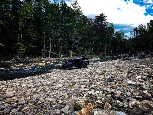
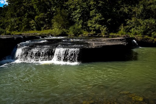
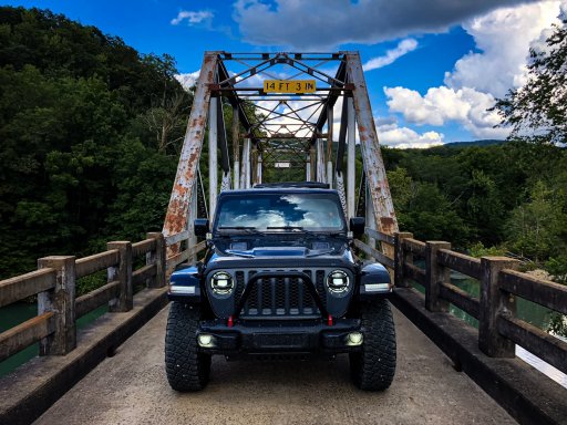
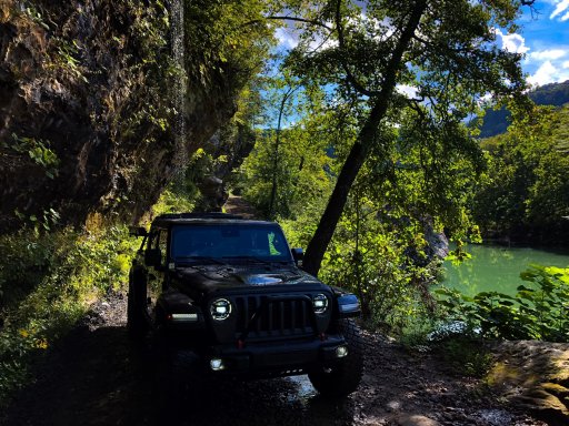
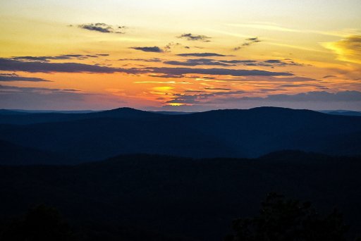
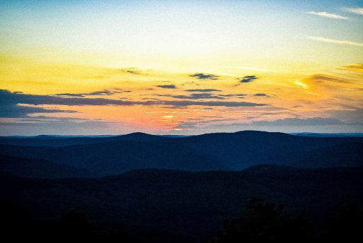
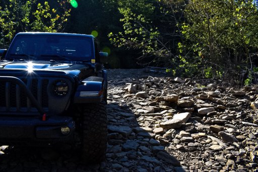
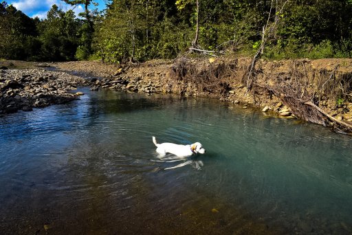
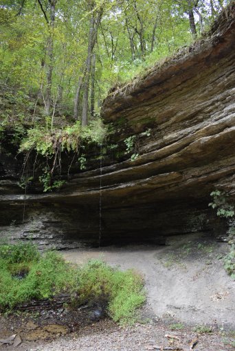
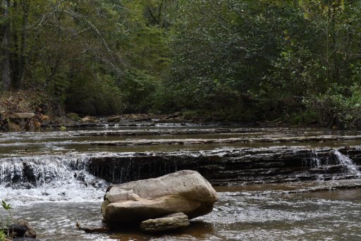
Those are some great pictures, good eye! Makes me want to throw some out there. HahaView attachment 115471View attachment 115472View attachment 115473View attachment 115474
Some pics from weekend trip to the ozarks
That gladiator looks great out in the woods too!
Where on earth is that water fall?

Enthusiast III

Member III
- 2,827
- First Name
- Joshua
- Last Name
- Downs
- Member #
-
20468
- Ham/GMRS Callsign
- KK6RBI / WQYH678
- Service Branch
- USMC 03-16, FIRE/EMS
Love those areas. They're pretty much my go to spots since I live east of Dallas. Doesn't take long to get up there. I ran the Clayton trail a while back when It still connected to the Ktrail. Went back out there a few month ago and where they are putting in the new Wind Farm they bulldozed the trail intersection and pushed a big pile of felled trees over onto the Clayton to block access to the K Trail. Still haven't figured out who to contact about that, doesn't seem right.

Contributor III

Contributor III

Contributor III
Boostpowered
Rank VI

Member III
West side of k trail near clayton has been closed for a few years now only the east side is open past indian highwayLove those areas. They're pretty much my go to spots since I live east of Dallas. Doesn't take long to get up there. I ran the Clayton trail a while back when It still connected to the Ktrail. Went back out there a few month ago and where they are putting in the new Wind Farm they bulldozed the trail intersection and pushed a big pile of felled trees over onto the Clayton to block access to the K Trail. Still haven't figured out who to contact about that, doesn't seem right.

Member III
- 2,827
- First Name
- Joshua
- Last Name
- Downs
- Member #
-
20468
- Ham/GMRS Callsign
- KK6RBI / WQYH678
- Service Branch
- USMC 03-16, FIRE/EMS
Coulda fooled me. I was on it in March of this year. No signage. We were driving though when construction crews were cutting the road wider. Guy in a dozer even moved a large boulder for us. No one said anything to us about it being closed. Saw other vehicles with in state tags on it closer to the Indian Highway as well.West side of k trail near clayton has been closed for a few years now only the east side is open past indian highway
[emoji2369]
Boostpowered
Rank VI

Member III
Call the oklahoma game warden last time i was up about 6 months ago he was handing out tickets, supposedly its now private property. Possibly things have changed or the workers didnt care.Coulda fooled me. I was on it in March of this year. No signage. We were driving though when construction crews were cutting the road wider. Guy in a dozer even moved a large boulder for us. No one said anything to us about it being closed. Saw other vehicles with in state tags on it closer to the Indian Highway as well.
[emoji2369]

Enthusiast III
Check the mvum for sure. They don't really post much signage from what I recall. Here's someone that knows the area well and a great advocate in the area
Boostpowered
Rank VI

Member III
Years ago the area the k trail is in was part of the national forest since then its been sold off to private individuals and timber companys so a mvum likely won't do much good. There are no signs because folks keep ripping them down in protest.Check the mvum for sure. They don't really post much signage from what I recall. Here's someone that knows the area well and a great advocate in the area
Boostpowered
Rank VI

Member III
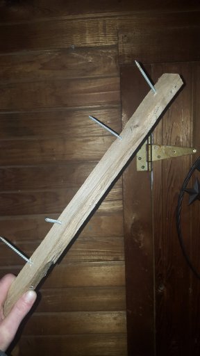
The stories of sabatoge on the k arent unfounded either i picked this up in my tire about 4 years ago on the k.
Attachments
-
289.7 KB Views: 24


