
Expedition Master III
- 6,480
- First Name
- Brandon
- Last Name
- Eberhardt
- Member #
-
20143
- Ham/GMRS Callsign
- KE0JBH
- Service Branch
- Air Force 02-18
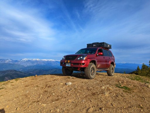
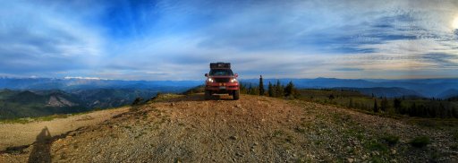
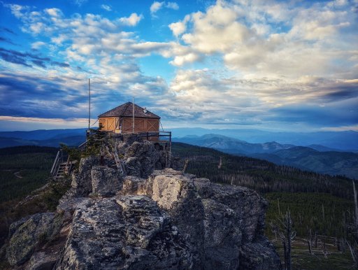
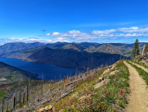
A weekend trip hitting sections 2 and 4 of the Washington Backcountry Discovery Route

Expedition Master III
20143

Pathfinder III
1632

Expedition Master III
20143
That's awesome!Great trip, we hope to do the entire WA and ID BDR's in July.
Have fun!!

Steward II
10123

Expedition Master III
20143
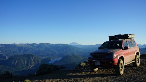
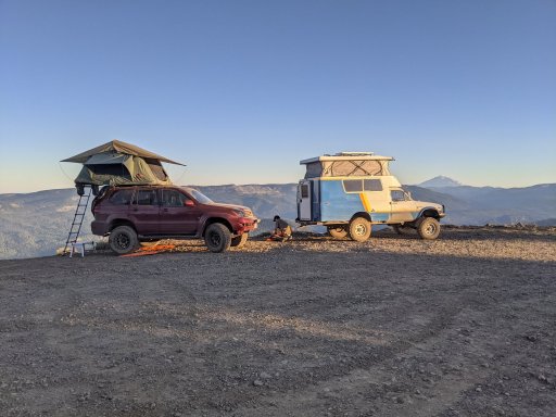
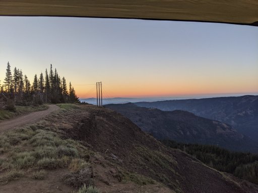
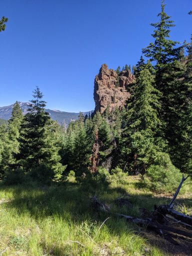

Enthusiast III
11737

Member III

Expedition Master III
20143
SO DO I! it was BA, 3.4 swap, 4x4 conversion. still had a bit to go in refinement (had some over heating issues) but good solid buildI want that Chinook!

Expedition Master III
20143
Yes please send me any waypoints and recommendations.I'm bummed I can't make this trip since I've been wanting to hit more of the WABDR, but I'll be at a concert in the area of where section 2 dumps out on the HWY 410 so it's a fair trade. It should be a fun trip across Bethel ridge, this time of year you'll probably hit a good deal of mud and maybe still some snow drifts in the trees. I do have a couple recommendations for section 2. Assuming you're coming up 1500/Bethel ridge road from HWY 12, before turning onto 1500-324 continue up the road a little and turn off on Cash Prairie/199. At a little over 1/2 mile in there is a nice little view point for some pictures if you have time and not far out of the way, it's easy to miss since there isn't much of a turn out but I can send GPS coordinates if you want. My other suggestion is to turn off on Grouse Heaven road to bypass the last of R-1000 unless you are dead set on running the exact WABDR route. It takes you to the same place but is about 2 miles shorter and you avoid a few mile of softball size cobble. I don't think you really miss out on anything special going that way and it's pretty decent gravel roads so you'll be able to cruise a bit faster.
Where are you guys planning to camp on night one?

Member III

Expedition Master III
20143
That's awesome and some great info. I'll definitely be looking at my route and seeing what I can incorporate. shouldn't be super tight on time, but as I'm sure you know, time tables can quickly get out of whack with a group. let alone any recoveries or breakdowns.Baby head hill would be after you cross HWY 410 and are heading up to Cleman mountain, I do know of bypasses for that if it's the spot I'm thinking of. But the bypass I was referring to would be a little over 8.5 miles into Bethel ridge at 46.75346, -120.99198. It's called Grouse haven road and links back up with Malloy Canyon road at 46.79750, -120.93448. Gaia doesn't show it to be a through road, OnX does and it is. It's roughly 2 miles shorter and the road is a lot better if you want to make up some time/save some time for later in the day. I do remember there being some decent places you could camp off of it but I've never marked them so I don't have any coordinates on those.
It sounds like you know where most of the open spots to camp are on Bethel ridge. For those it's really how far you want to go, what's open and if there is enough room for your group as there is about 5-10 decent ones along the main trail. Other camp options would be if you wanted to run out SE on the ridge on the 4W672/4W652 trail. There is a few places you could camp out there one is at the shack that's a ways out there 46.69605, -121.04985. Only problem with there is if you get some weather it's pretty open out on that ridge. Also it's more of a 4X4 trail, most of it is pretty easy but there is some rocky hills and a couple tight spots. Another option to camp is down at Bear Lake, if you go around to the SW side there is a cool spot that is a little above the lake and a lot nicer then the main area everyone goes to. It's about 5.5 miles off of the Bethel Ridge trail on Oak Creek road. There is a short and fast way down from the ridge to the lake (4W671 Bethel-Lynn Lake Tie) but I do not recommend it if you have full size rigs, trailers or mostly stock vehicles. It's steep, loose and tight, we went down it once and there was a couple spots the rear end of the Jeep tried to pass the front. There are a few other camp sites I frequent up there but they would be a bit more out of your way if you don't plan to complete Bethel ridge before setting up camp. If you're ever back in the area I can PM you the coordinates for a killer spot me and my friends usually go to a couple times a year for base camp wheeling trips.
As for POI's the spot I mentioned off of 199/Cash Prairie Rd is a good view point 46.71217, -121.13827. It's not far out of the way before you would head up onto Bethel Ridge and if you have time the drive out that road to the Cash Prairie trailhead is worth it for some pictures, the views are pretty awesome. Another place would come shortly after crossing HWY 410 and heading up FSR 1711, the road at the top is Cleman Mountain Ridge road, the WABDR maps have you turning off onto Jones road which is shortly after the towers up there. But Cleman Mountain Ridge Rd road goes about another 5 miles along the ridge and has some good views down into the Naches valley. It would be an out and back detour so kind of dependent on your timeline if you really want to go out there. Really there is tons of awesome trails and view points up there but those are a couple I could think of that wouldn't take you too far off your route.

Expedition Master III
20143

Off-Road Ranger I
23620

Steward II
10123
Just you? That is unfortunate :-)This looks like a great trip, unfortunately Tiga has prior commitments so it will just be me.

Expedition Master III
20143

Off-Road Ranger I

Expedition Master III
20143
That's too bad, but yeah July should be a good one, I'm excited as I didn't get to run that trip last year.Won't make this one due to wife's travel schedule. Will See you all in July!

Steward II
10123

Expedition Master III
20143
Look at the glare coming off my calvesThat was a fun trip everyone!

Expedition Master III
20143
