Morning Kent,
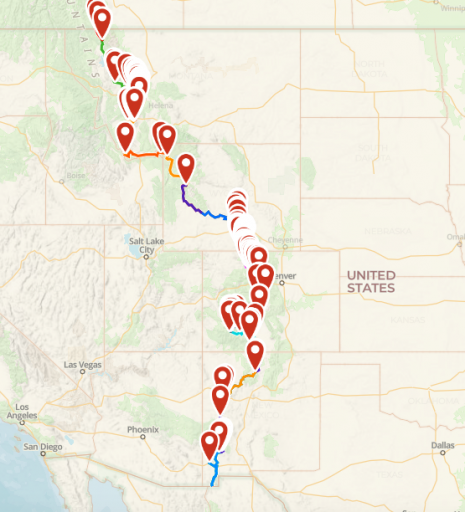
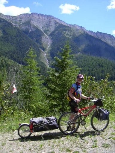
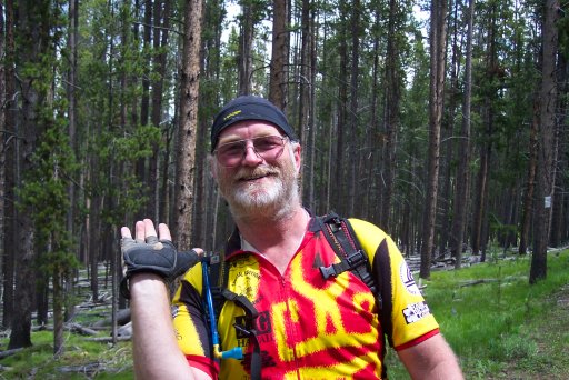
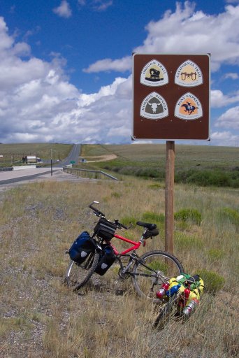
I mountain biked the top half of the GDMBR in the early part of this century, Canada to Silverthorne, over several years as vacation allowed. It was great, until I crashed, but that's not my point. Just my creds.
In the 90's among cyclists there used to be a saying; There are 3 ways to bicycle tour, 1) stop and smell the roses and take pictures, 2) stop and smell the roses, 3) what roses?
It looks like you have around 170mi average planned per day. That's doable in a car. Just don't loose sight of the journey to check off another bucket list item.
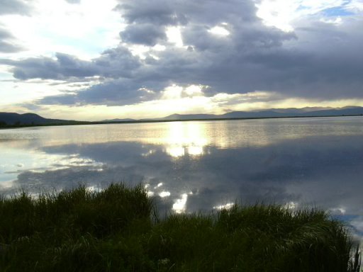
Stop at Crystal Mtn and dig for crystals, if Elkhorn Hot Springs is open, stop and soak, swim in the lakes, Take the hike down to Clearwater Lake, visit the Big Hole in Butte, see the Tie Hack Memorial, if you have a freezer take some popscicles to hand out to overheated cyclist!
View attachment 192600View attachment 192601View attachment 192602View attachment 192603View attachment 192604