A fellow member sent me a PM. I don't mind PMs but I also feel strongly that these questions should be asked and answered in the public area. While not all of the information may pertain exactly to everyone the questions asked are fairly common. So here's the questions and answers I provided below. My goal is to point folks in the right direction but always reference official help files from
Gaia. Thanks
Question:
Hello sir, hoping you can point me in the right direction. My GPS usage plan started here a month ago or so when my son and I decided to take a wheeling / road trip from Regina SK Canada to Moab Ut for a few weeks.
I have never used GPS before at all, And this seems to be a steep learning curve. We do not have internet access/cellular data while south of our border. So i purchased a new top line Ipad mini wifi version, along with a Dual brand xgps150a dash mount gps receiver. Also purchase the Hondo Garage mount for the dash of the Tacoma. It all works flawlessly BUT i have absolutely NO idea what to do with it. Haha. I've tested here in Canada but was amazed that i needed to download a map just to use it and track down to gravel roads around here.
Not sure what maps to use, what to download, what quality/depth of maps etc. The iPad is strictly for GPS use as we'll have other electronics with us. It has good memory we can load up with maps.
Any help and direction to head in to learn would be great. Perhaps a certain how to video etc. I really am lost with where to start... It's quite overwhelming.
Answer:
1. For Gaia you can easily pre-download all the maps you need. If when arriving to your destination you think you are missing something just find some free wifi. In Moab the visitor center and McDonalds have free wifi. I'm sure other places do as well.
2. What trails do you plan on exploring in Moab? Once you know the trails you should try to find GPX tracks which highlight the route. You won't get turn by turn but you can see the course line and they are easy to follow.
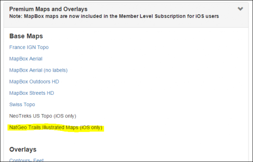
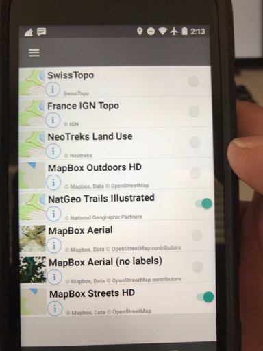
3. Map layers my favorite are the USFS 2016, NatGeo (need a premium subscription for that) and any of the general topo layers like USGS topo.
Gaia has good support files to show you how to download maps, import tracks, record tracks, create waypoints, etc so I would encourage you to go there.
As for Moab it is going to be hotter than hell so Plan accordingly. Make sure you have too much water, shelter etc. If you look up the Utah BDR route it shows a really nice scenic section you can run in the east side of Moab. Takes you from just to the south up into the mountains and then down through Upper Onion Creek. That is a great, generally easy trail.
- Chris
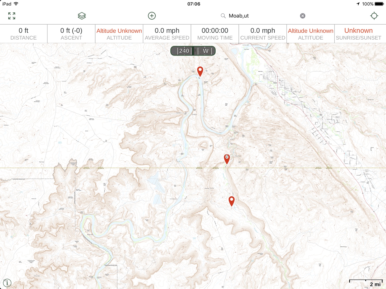
Here are some sample maps layers. Remember that a given layer may not be available in certain areas. These examples are from the Moab area. I highly recommend the Utah BDR route and the section Monticello to Dewey Bridge.
NatGeo! New favorite layer where available. USFS 2016 is my other favorite but they are not available for many sections around Moab.
Standard USGS Topo
NatGeo expanded view
Gaia Topo
US Topo Base Map
Recommended trail
https://www.gaiagps.com/public/lyweHTpkAEDAGcs4VB2qTjfA
Sent from my iPhone using OB Talk


