7 Hour Plane Crash Trail
- Thread starter GPG3
- Start date
-
Guest, UPDATE We went through the site migration runbook and completed all steps. We will need to complete the migration next week, but will leave the forums up for the weekend. A few days after maintenance, a major upgrade revision to the forum site will occur.
Thanks for the awesome write up!!!
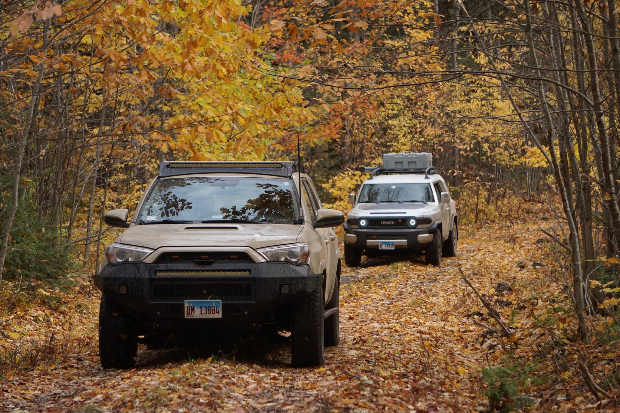

The Seven Hour Plane Crash Trail | Michigan Overland
The Seven Hour Plane Crash trail is easily one of the best overlanding trails in the midwest. If you haven’t heard of it before, here’s what it is and my personal experience driving the trail.
www.michiganoverland.com

Contributor III
A small group of us will be attempting the 7HrPC this March. Anything we should be aware of in the early spring \ late winter terrain in the Keweenaw peninsula \ NE Wisconsin area? Any flooding? (It looks like some of the towns near the trail have flooded in years past)
Hello,hello, I recently did the T.W.A.T. pretty easily and looking for more rich trails like this one, I have a 2005 honda crv and was wondering if you think it can make it if i stay clear of some rough spots in the trail. Otherwise going to wing it and see how it goes! Thanks!
Thus the name....
If you have decent tires and shocks. You should be ok. I would keep your crv in 4wd at all times, though.
I'm not sure what mother nature's obstacles currently are.
Have fun!!I
Last edited:
Honestly, I don't know the current condition. I might make a run in April.A small group of us will be attempting the 7HrPC this March. Anything we should be aware of in the early spring \ late winter terrain in the Keweenaw peninsula \ NE Wisconsin area? Any flooding? (It looks like some of the towns near the trail have flooded in years past)
There's a group of overlander's (including me) going at the end of May.
We'll post details later this month.
Enjoy the ride be safe!
My Son and I are planning to do this trail next September, I was wondering if it can be done in the opposite direction, starting at the most Northern point and following it South. Thoughts?
Yes you can. Just be cautious for North bound traffic.
Best
Enjoy!Thank you for posting this GPG3! I have been looking at this all day and plan to do this in the future!
If anyone would like 7 Hour Plane Crash Trail stickers.
Email gpg3.phone@gmail.com
The stickers are $4.00 /ea. Pretty much covers cost and shipping. I use paypal for payments.
Size: About 3 inches wide by 4 inches tall.
Email gpg3.phone@gmail.com
The stickers are $4.00 /ea. Pretty much covers cost and shipping. I use paypal for payments.
Size: About 3 inches wide by 4 inches tall.


Enthusiast III
Yes it will, especially near the Wisconsin Michigan border. My f150 made it but definitely got some stripes, nothing some buffing couldn't handle though. I would check the rules on the trails in Michigan, we got off the trails around Houghton because I'm pretty sure road legal vehicles were not allowed, use your judgement.This looks like fun. Putting it in the schedule for our trip mid July this year. Sounds like my Silverado may get a couple stripes from it though?
ATTENTION EVERYONE CONSIDERING TRAVELING THIS TRAIL!!!
This trail peaked our interest, Michigan's UP is a tremendous resource for getting out and "overlanding". However, before traveling a route that any individual creates and makes public we first do the necessary research to find out if the route is along trails that are LEGAL for suv and truck travel. The portion of this trail north of Calumet is in fact on an ATV trail that is NOT LEGAL for suv and truck travel. The rest of the trail south of Calumet appears to be legal.
This trail peaked our interest, Michigan's UP is a tremendous resource for getting out and "overlanding". However, before traveling a route that any individual creates and makes public we first do the necessary research to find out if the route is along trails that are LEGAL for suv and truck travel. The portion of this trail north of Calumet is in fact on an ATV trail that is NOT LEGAL for suv and truck travel. The rest of the trail south of Calumet appears to be legal.
This is correct, people need to do their own research before just believing what they see on the internet.ATTENTION EVERYONE CONSIDERING TRAVELING THIS TRAIL!!!
This trail peaked our interest, Michigan's UP is a tremendous resource for getting out and "overlanding". However, before traveling a route that any individual creates and makes public we first do the necessary research to find out if the route is along trails that are LEGAL for suv and truck travel. The portion of this trail north of Calumet is in fact on an ATV trail that is NOT LEGAL for suv and truck travel. The rest of the trail south of Calumet appears to be legal.
ATTENTION EVERYONE CONSIDERING TRAVELING THIS TRAIL!!!
This trail peaked our interest, Michigan's UP is a tremendous resource for getting out and "overlanding". However, before traveling a route that any individual creates and makes public we first do the necessary research to find out if the route is along trails that are LEGAL for suv and truck travel. The portion of this trail north of Calumet is in fact on an ATV trail that is NOT LEGAL for suv and truck travel. The rest of the trail south of Calumet appears to be legal.
The entire trail is 100% legal. Including the North of Calumet. It's mostly on Hwy 41 to Mandan Rd.
Have fun you all! I ran the trail last weekend. It was dry and beautiful!!!
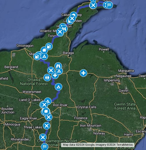
7 Hour Plane Crash Trail (CRANDON to KEWEENAW) - Google My Maps
I'm a Wisconsin native who lived out West for a little while after college. I raced stock mini class in the desert and was a member of the TOYOTA / Ivan Stewart Race Team. When I moved back, I really missed the accessibility to trails that have a Baja feel to them. Well,... I mapped out the...
Ran the 7 Hour Plane Crash Trail this past weekend in my Sequoia.
Everything was great.
 www.google.com
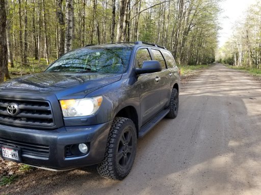
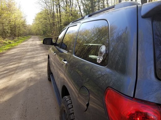
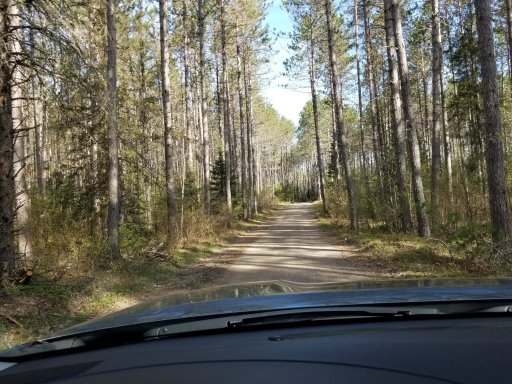
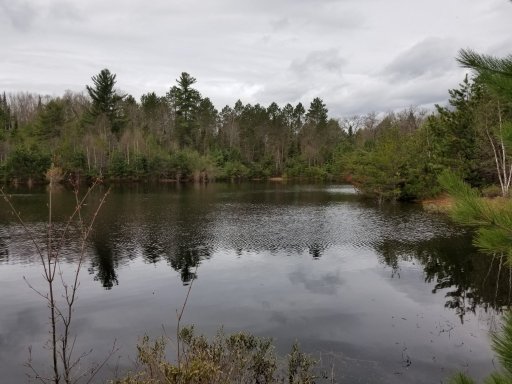
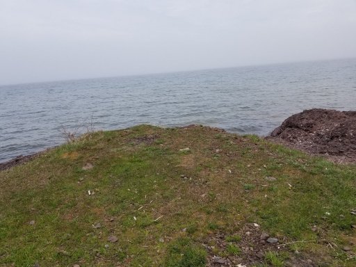
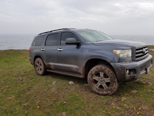
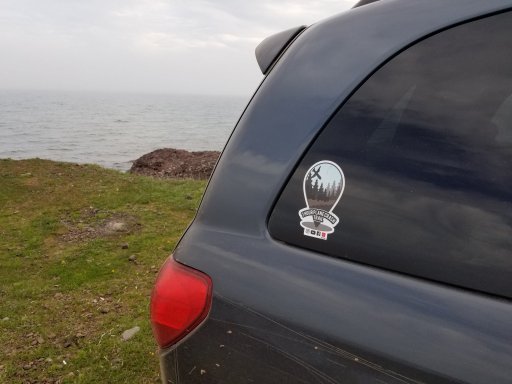
Everything was great.
7 Hour Plane Crash Trail (CRANDON to KEWEENAW) - Google My Maps
I'm a Wisconsin native who lived out West for a little while after college. I raced stock mini class in the desert and was a member of the TOYOTA / Ivan Stewart Race Team. When I moved back, I really missed the accessibility to trails that have a Baja feel to them. Well,... I mapped out the...


How long did it take you this time? I'm considering checking this out in a few weeks driving up from Illinois. I'm trying to figure how much time should I plan for.Ran the 7 Hour Plane Crash Trail this past weekend in my Sequoia.
Everything was great.

7 Hour Plane Crash Trail (CRANDON to KEWEENAW) - Google My Maps
I'm a Wisconsin native who lived out West for a little while after college. I raced stock mini class in the desert and was a member of the TOYOTA / Ivan Stewart Race Team. When I moved back, I really missed the accessibility to trails that have a Baja feel to them. Well,... I mapped out the...www.google.com
View attachment 156339 View attachment 156340
View attachment 156341 View attachment 156342 View attachment 156343View attachment 156344 View attachment 156345 View attachment 156346
GrumpyOldMan
Rank I

Enthusiast I
Hello friends. I'm new to the forum. Signed up just for this thread!
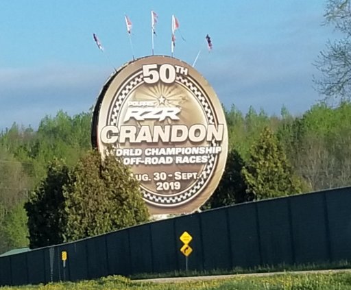
So our local Chicago based Raptor group has a route created that centers around Crandon. Found out about this so anxious to try it out. We tentatively have a trip planned for late August, but I'm going up to my place in Rhinelander this Sunday for two weeks so I think I'm gonna get the wife to follow me in her 2015 Explorer and we'll see how far we can go starting in Crandon. Regardless of when I hit this, I'll report back.
Regards,
Todd
My friends and I just finished this trail two weekends ago. We took a Wrangler Limited, lifted Crosstrek on A/Ts, and my lifted 100 series land cruiser. We started from the northern end and worked our way south. The trail in the Chequamegon-Nicolet National Forest are fairly wide dirt roads. I actually had mentioned to my friends that a driving a Raptor through this section would be so much fun. North of the National Forest, the trail does narrow a bit. All three of our vehicles ended up getting some pinstriping. So, Raptors will definitely get some pinstriping. There is also a creek crossing north of the National Forest. We had no idea how deep the crossing was and the area around it was the muddiest part of the entire trail. Our recovery gear didn't include winches so we avoided it. I found the norther portion of the trail signifcantly slower going than the southern portion due to bumpier driving surfaces which includes logging roads. If you enjoy camping, as OP had mentioned, the camping at the northern tip has amazing views of Lake Superior. Hope this helps.Hello friends. I'm new to the forum. Signed up just for this thread!
So our local Chicago based Raptor group has a route created that centers around Crandon. Found out about this so anxious to try it out. We tentatively have a trip planned for late August, but I'm going up to my place in Rhinelander this Sunday for two weeks so I think I'm gonna get the wife to follow me in her 2015 Explorer and we'll see how far we can go starting in Crandon. Regardless of when I hit this, I'll report back.
Regards,
Todd
J
GrumpyOldMan
Rank I

Enthusiast I
Thanks for the update. I don't think the wife and I are going to do too terribly much of this route. More of just something to do to get out of the house while we're up north.


