Influencer II
I'm working out details of traversing the TLH in August. I've done a bit of research into this and left with a few questions that I think others that have traversed can answer.
First comes cell service. I can locate the towers and find that LC, Churchill Falls, Happy Valley and Port Hope (and balance of coastline) will have service. Figure nothing in between. It is still claimed of no vehicle repair service between LC & Happy Valley, seems strange to me..
Also very curious if road communication is still using CB or changed over to GMRS. I'll have my GMRS, but thinking of setting up a CB if those are still being used.
Another would be I'm searching for a site that lists emergency frequencies so I can monitor as we travel. I do this as we explore back country in other places and would like to here as well.
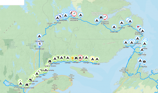
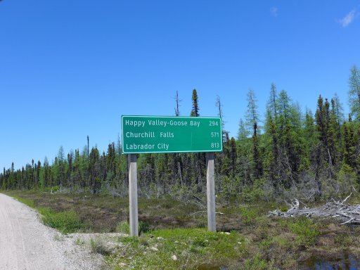
I have marked out distances, campsites, gas stations, grocery and etc.. I know the only dirt left is on Rt 389 between Manic 5 & LC, with even there some being pavement.
If you've been and have knowledge of the TLH, please I'd like to chat!

