

Influencer II
Influencer II
Check out Long Barn ca , exit 108 Merrill Spings. Lots of dispersed camping on the Clavey river.Can anyone recommend dispersed camping in or near Stanislaus NF
Thank you!

Pathfinder III
Aaron, I just spend the weekend over there - lots easy to find along 108 - unfortunately there was a big fire last year that wiped out quite a bit around Dardanelle - so we went over the pass and found a cool spot next to the Sardine CreekCheck out Long Barn ca , exit 108 Merrill Spings. Lots of dispersed camping on the Clavey river.

Off-Road Ranger I
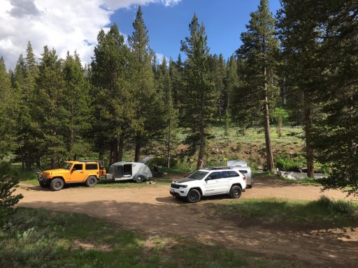
Drove past you guys. That is a great spot. Weather was awesome as well..Aaron, I just spend the weekend over there - lots easy to find along 108 - unfortunately there was a big fire last year that wiped out quite a bit around Dardanelle - so we went over the pass and found a cool spot next to the Sardine Creek View attachment 109084
(38.3131393, -119.6022283) but there are lots of options in the area. Hope this helps
Off-Road Ranger I
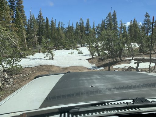
Stop at the ranger station in either Long Barn or Pinecrest and grab a map. Just about every forest service road along 108 leads to great spots. Keep in mind there are several closures due to the Dardanelle fire. There are also a few roads way up high that are still snowed in as well as of las weekend.Can anyone recommend dispersed camping in or near Stanislaus NF
Thank you!
 www.preventwildfireca.org

Thanks for you’re helpI think that most if not all of 7N09 is in the Stanislaus National Forest and that you do not need a permit for dispersed camping. I've camped on top of the Calaveras Dome several times, and there is at least one route you can take across the North Fork of the Mokelumne River to wind up on highway 88.
You do need a campfire permit if you want to have a fire.
Prevent Wildfire - Ready for Wildfire
There is a ranger station outside of Arnold where you can get additional details.
Stanislaus National Forest - Calaveras Ranger Station
Stanislaus National Forest - Calaveras Ranger Stationwww.fs.usda.gov


