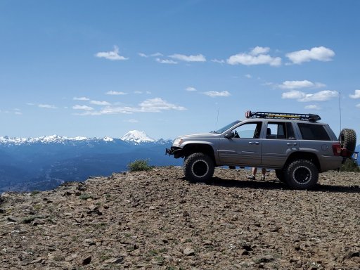
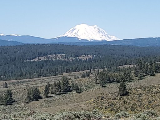
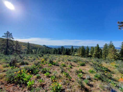
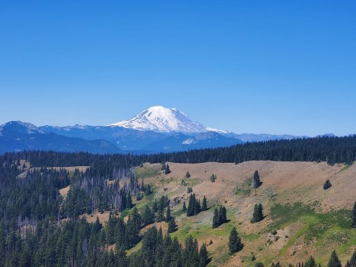
The green dot roads usually only close seasonally and from what I've seen that's just for winter animal habitat. Be careful if you are looking to go run some in the winter though because a lot of the ones open all year become groomed snowmobile trails. If you use Gaia they have a snowmobile trail map overlay that will show you which ones get groomed. They're a nice system of roads but I haven't been on any that are challenging or would consider a 4WD trail. I haven't tried it but I heard if you use their app that has the maps you can do tracking/mapping right on it. Below is a link for the maps for anyone that hasn't checked them out. Click the "Print your own map" link and it lists out all the areas.
Want a great way to get into the Washington backcountry? Follow the green dots. Together with the state Department of Natural Resources (DNR) and private landowners, the Washington Department of Fish and Wildlife (WDFW) cooperatively manages many roads within Yakima and Kittitas counties under a...

wdfw.wa.gov
There is a few different ways you can get to the Wenas area from I90 starting around Cle Elum but I think if you tried the western ones in May you would still run into snow. This first route linked below goes from Ellensburg to the Wenas area using Durr Rd. and includes about 20 miles from section 2 of the WABDR.
Access free topo maps online and use intuitive mapping tools to plan your next adventure. The Gaia GPS map catalog includes detailed satellite imagery, worldwide trail maps, weather forecasting overlays, and avalanche data overlays.

www.gaiagps.com
This one leaves Ellensburg in the same place but is more direct and made up of roads that can be traveled faster, both take you to the same place. It's nice to have options, fast way in Friday and long way out Sunday is what I like to do.
Access free topo maps online and use intuitive mapping tools to plan your next adventure. The Gaia GPS map catalog includes detailed satellite imagery, worldwide trail maps, weather forecasting overlays, and avalanche data overlays.

www.gaiagps.com
Below are two different tracks I recorded in the area, one is a loop around the NE portion of the area and the other is kind of SW with a little bit of overlap just because of where I was camping. The first track includes the same WABDR section as the route in from Ellensburg but also goes up on to the ridge past UW's (booo! Go Cougs!!) observatory. The second one goes up onto the southern ridge of the Wenas area and I would consider it more of a trail but still nothing difficult. In the second track you will see where I took Bald Mountain rd. down to highway 410 into Nile and back(needed fuel) that detour can be avoided by using forest road 1712. Also when going out (southeast-ish) Clemen MTN. ridge rd. you can go further out the ridge than I did and get a good view down into Naches.
Access free topo maps online and use intuitive mapping tools to plan your next adventure. The Gaia GPS map catalog includes detailed satellite imagery, worldwide trail maps, weather forecasting overlays, and avalanche data overlays.

www.gaiagps.com
Access free topo maps online and use intuitive mapping tools to plan your next adventure. The Gaia GPS map catalog includes detailed satellite imagery, worldwide trail maps, weather forecasting overlays, and avalanche data overlays.

www.gaiagps.com
I had no real destination while out driving these so I was just cruising/wandering around, if you look it these tracks and the green dot maps together you'll see lots of other combinations to run these roads in loops. Once the rest of the snow melts you can access more of the trails and forest roads to the west from Hog Ranch Rd.


