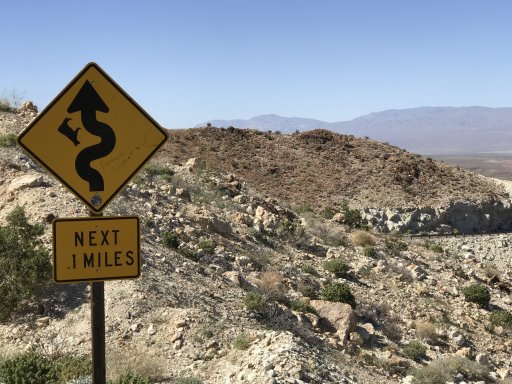
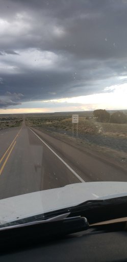
I should mention that this is California State Route 178. Looking north in the background are the Panamint Mountains, behind which is Death Valley , and directly behind me is Searles Valley, where they just had that cluster of earthquakes in Ridgecrest and Trona.
Last edited:


![IMG_20190814_123211_1[1].jpg](/forums/data/attachments/113/113157-16d636c13ad8ccd0a8cce82f57237a1c.jpg)