

Contributor I
This is a great spot with a bunch of great trails. You can camp at the staging area and do the trail and back in a day, or you can camp up at the falls and make a multi-day trip out of it! No motorized vehicles past the picnic area, so a small hike is required to reach the falls.
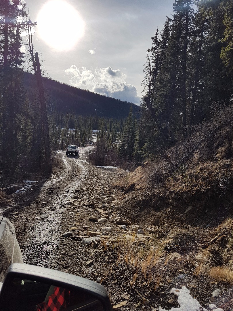
Difficulty level: Moderate offroad experience required. There are a few technical sections that will test your abilities.
Terrain: Many small river crossings, large dry riverbed trails and steep dirt/rock hills.
Trail Surfaces: You will encounter a mix of Mud, rocks, gravel, grass and dirt. (Snow and Ice in winter)
Directions: Head West out of Edson, AB to Highway 47 and turn south towards Robb, AB. (8kms)
Continue south on Hwy 47 for approx 63kms and keep an eye out for the Highway 40 turnoff towards Cadomin, AB. Follow Hwy 40 for approx 10 kms until you see the sign for the Pembina River Road and turn left. Continue down the Pembina River road and keep your eyes on the Kilometer markers. Around km marker 90 the road will become narrower. Just past the 93 km marker you will hang a sharp right at the Y intersection and continue on approximately 7 kms with many small camping sites on either side of this road.
Google maps link: https://www.google.ca/maps/dir/Edson,+AB/52.8696337,-116.9466623/@53.2263257,-117.3297763,140782m/data=!3m2!1e3!4b1!4m9!4m8!1m5!1m1!1s0x539c227aef530e35:0x1edbcbe4aa6ecc4d!2m2!1d-116.4428615!2d53.5855087!1m0!3e0
Gps Co-ordinates: 52.869621, -116.947002
Trail: https://www.wikiloc.com/wikiloc/view.do?id=16365352
The main trail is accessed by crossing the Cardinal River just west of the staging area.
Trail Images
Last edited:


