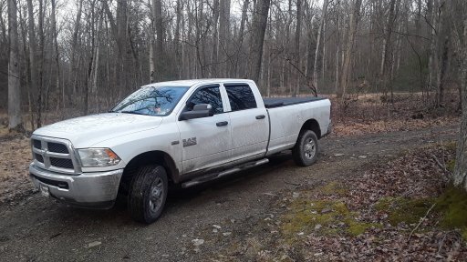
Rothrock State Forest in a RAM or 2

  • HTML tutorial

DevilDodge

Rank IV

Advocate I

1,135
Altoona, Pennsylvania, USA
First Name
David
Last Name
Spencer
So, before I have been able to make my first planned trip, I got a curveball.

So another member was asking how to connect BESF with Rothrock.

Then i realized, hey, I could do this and incorporate one of my favorite state park campground, Trough Creek.

Just emailed for the public uuse and motorized camping maps. I also downloaded them to my phone.

So now I got another trip on the list.

Any one have any info to share about this State Forest and possibly a travel route connecting the 2?

I got a good idea looking at the maps, but sometimes firsthand experiences are much better.

Thanks
 
  • Like
Reactions: riss800

DevilDodge

Rank IV

Advocate I

1,135
Altoona, Pennsylvania, USA
First Name
David
Last Name
Spencer
Ok, so they have 8 motorized camping sites here. It turns out I have been all over Rothrock State Forest in the last 20 years...just didn't realize the name. Drove in at different sections, never realizing they were the same overall area.

Trough Creek is one of our favorite camping spots and hiking areas.

And now that I see that the roads lead to Bald Eagle, I am pretty excited about this new knowledge.

Right now our local area is covered in a sheet of ice, as the sun is shining bright and temps are in the 20s.

Man, I need some more aggressive snow tires and some chains for extra peace of mind.
 
  • Like
Reactions: riss800

DevilDodge

Rank IV

Advocate I

1,135
Altoona, Pennsylvania, USA
First Name
David
Last Name
Spencer
So as I explained in my other thread
We also geocache and just started orienteering.

Rothrock has 2 orienteering courses one at Greenwood Furnace and one at Whipple Dam.


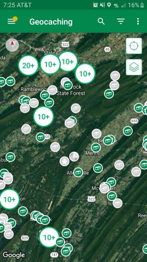
Looks like Rothrock has a few geocaching opportunities alsoScreenshot_20200122-192552_Geocaching.jpg
 

DevilDodge

Rank IV

Advocate I

1,135
Altoona, Pennsylvania, USA
First Name
David
Last Name
Spencer
Got my map for Rothrock. So that finished the information gathering side of things.

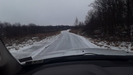
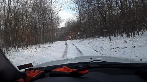
Unfortunately this is the current trail conditions in Pennsylvania 20200125_124000.jpg

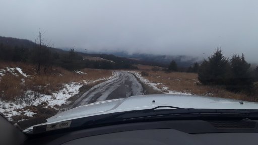
The side of the mountain the sun hits is a bit better.
20200125_125254.jpg

I know these trails so I am ok with solo travel on them...not really interested on risking it on unfamiliar trails a couple hours from home.

Guess boots on the ground reconnaissance will have to wait for another weekend
 

DevilDodge

Rank IV

Advocate I

1,135
Altoona, Pennsylvania, USA
First Name
David
Last Name
Spencer
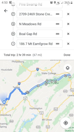
Got the route planned out on google maps.
Screenshot_20200125-165003_Maps.jpg

So this will take me from home to Rothrock 31 mins on pavement and then 2hrs offroad and clean to Bald Eagle. Will work on the Bald Eagle section next.

Just got to match it too my new maps and make sure it is passable.

Awesome
 

DevilDodge

Rank IV

Advocate I

1,135
Altoona, Pennsylvania, USA
First Name
David
Last Name
Spencer
So, there are 2 roads that kinda run parallel to each other. Will have to check into what I want to see and adjust the route as I decide.

But for now I got a route to start my kill 3 birds with one stone tour.

There is lot of Native American history in this area...so this will be interesting for that aswell.
 

DevilDodge

Rank IV

Advocate I

1,135
Altoona, Pennsylvania, USA
First Name
David
Last Name
Spencer
I didn't get a chance to see any...but I see that Rothrock has a few fire towers. We like to check them out and it will be fun to incorporate them into our trips.

Can not wait to get back out exploring...I just about got the maps etched into my brain.
 

DevilDodge

Rank IV

Advocate I

1,135
Altoona, Pennsylvania, USA
First Name
David
Last Name
Spencer
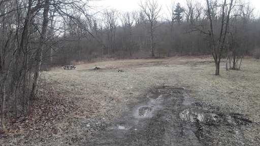
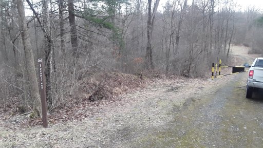
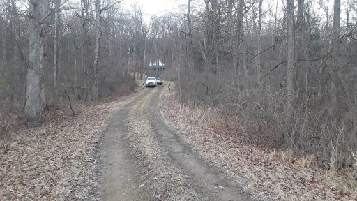
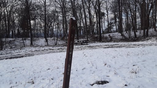
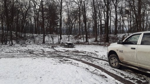
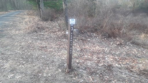
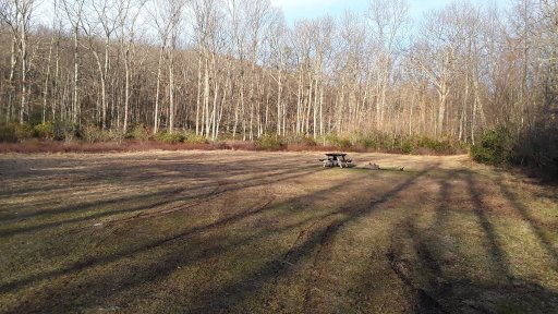
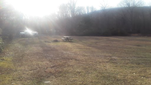
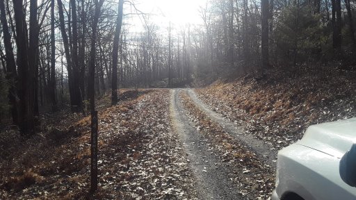
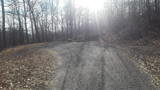
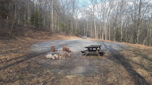
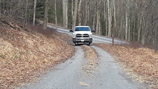
Got back to Rothrock today. Got to show the rest of the family the first too campsites and then site 3. The wife really liked site 3. It has a nice stream beside it and is level and large.

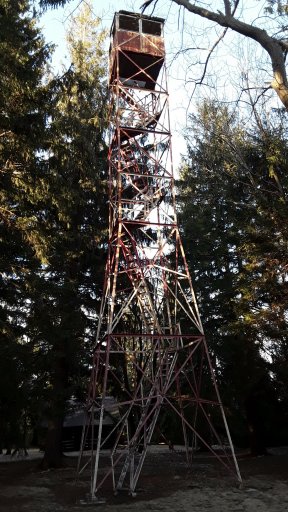
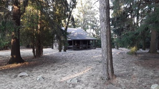
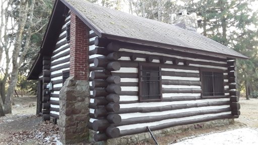
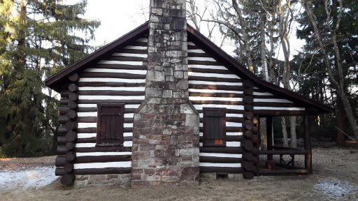
We also got to check out one of the fire towers. It actually has a cabin situated with it. Anyone know anything about the cabin being used for possible overnight lodging?
 

DevilDodge

Rank IV

Advocate I

1,135
Altoona, Pennsylvania, USA
First Name
David
Last Name
Spencer
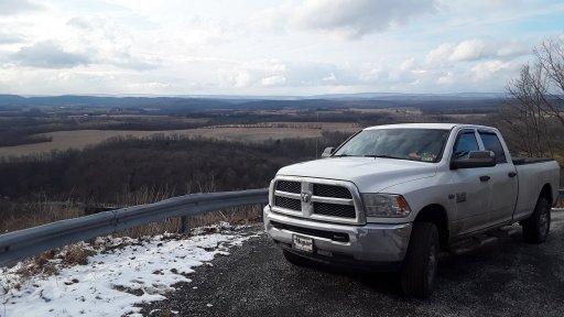
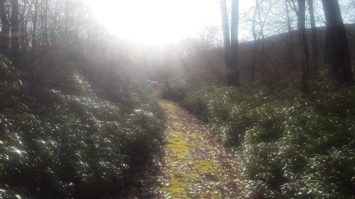
My son and I got a bunch more exploring in today. Details after a bit. Some more vistas, traversed our 1st driveable trail.

We spent over 5 hours off pavement. We covered 50 driven miles and hiked probably about 3
 
  • Like
Reactions: LGlx

DevilDodge

Rank IV

Advocate I

1,135
Altoona, Pennsylvania, USA
First Name
David
Last Name
Spencer
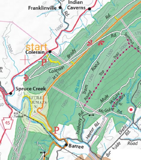
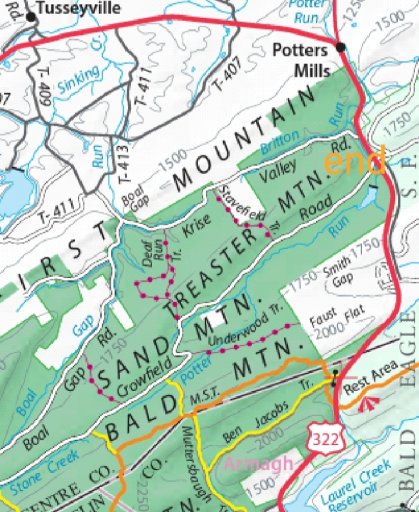
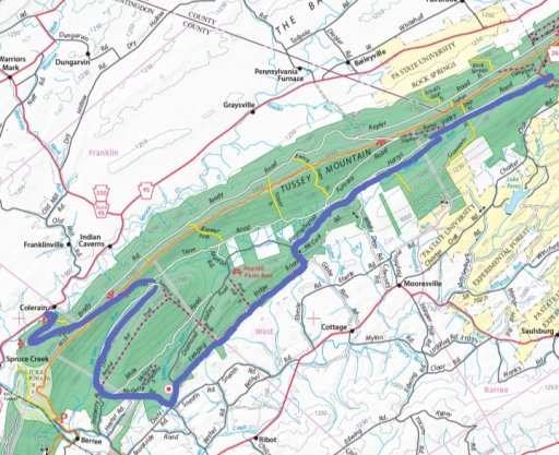
So we had a great day. Started in Spruce Creek on Colerain Rd and went on some roads we hadn't been. We crossed at Route 26 and then explored this section. We hit roads we hadn't been on yet and found campsite 4 and Greenwood firetower. We ended at Greenwood Furnace State Park.

We were within 8 miles of Bald eagle.

We also traveled on our first driveable trail. My son said those are way more fun than the Forest Service Roads.

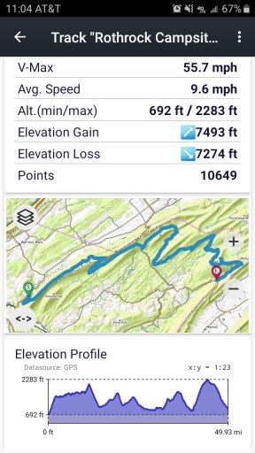
A great day. I did a track on topo maps app. Not sure how to upload that yet. But will figure it out.

We went from 692 ft to a high of 2283 ft ABS.

As you can see some of those climbs were very steep.
Screenshot_20200224-110420_US Topo Maps.jpg

We got in a good bit of hiking and thoroughly enjoyed the day.