Reno Overlanding High Rock Canyon Overnighter Review 9/5-7/2020
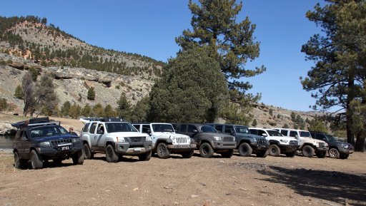
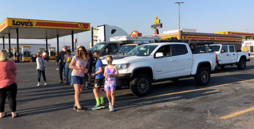
Sat 0800 - One Bronco, a Jeep, two Gladiators, an F250, a Colorado, and a 4Runner all dressed for the trails met at Loves gas station in Fernley. After a discussion of communications devices and frequencies from Marc (the lead for this trip), 16 folk returned their Rigs and we headed up Hwy 447 towards Gerlach where we stopped to refuel.
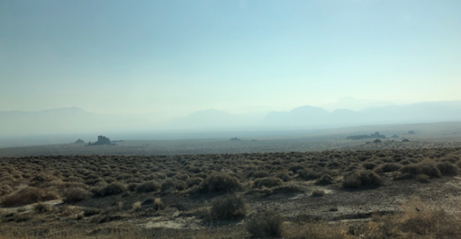
It was a very hazy day because of the smoke from the California fires drifting into Nevada. As we got closer to our destination, the smoke started to thin just a bit.
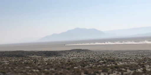
Once we finished topping off gas tanks, we headed north towards the playa where we saw a few hundred people out on the playa – These were Burning Man folk who didn’t want to abide by the cancelation of the event.
We left pavement a few miles out of town onto Soldier Meadows Road and aired down before continuing down the dirt road.
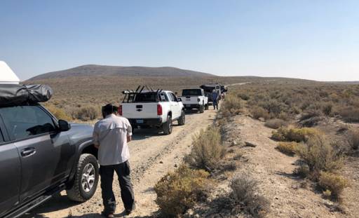
Part way down the road the 4Runner started making squealing noise on the front driver’s side. Danny, who is a mechanic, came back & determined it was a rock stuck between the brake rotor and backing plate. He got under the 4Runner & smacked the plate a few times & it stopped-
While we were working on the 4Runner a ranger came along the road and she stopped to talk to the group. When she heard that we were doing the trip as part of an organized event through Reno Overlanding, she asked whether we had filed a permit. Turns out because this was an organized/advertised event we needed a special recreation permit . She let us go without one but we will check into this requirement for future reference.
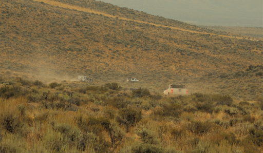
50ish miles to the Soldier Meadows hot springs. It was a very dusty drive…but the dust only got heavier the further into Black Rock/High Rock we got.
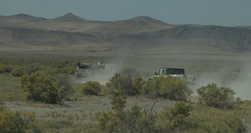
Along the way we passed Mud Meadows and the shallow lake beside it.
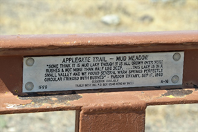
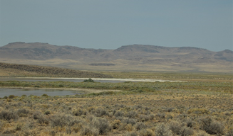
We arrived at the hot springs around lunchtime and the temp was just over 100F. We had a quick lunch and a few folks walked up to the Hot Springs for a look. Then Marc asked the group if we should move on and after a yes from everyone, we kept moving north to find higher elevation and hopefully cooler temps.
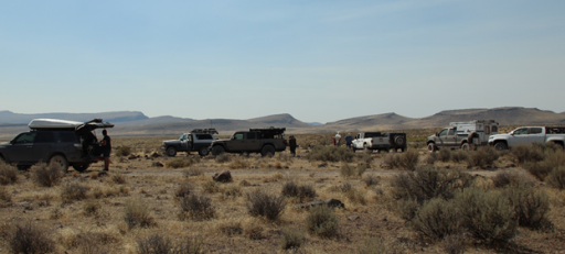
We left the hot springs and headed north past the Soldier Meadows Ranch. We eventually ended up in the Summit Lake Indian Reservation. We drove past the lake, which looked very inviting with the hot temps outside. At the end of the reservation land, we turned west to find a camp spot at 6,000’ in the High Rock Canyon Hills area near a spring.
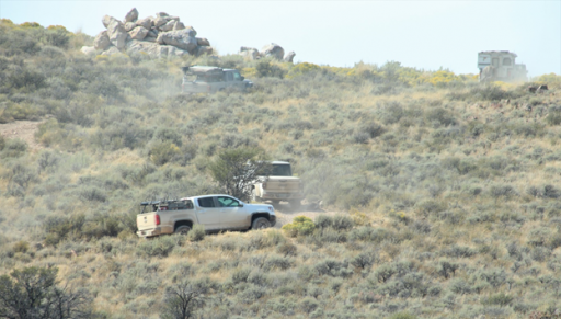
It was late afternoon and still very warm. Everyone quickly set up camp and found shade next to their vehicles for the remainder of the afternoon. Because of Covid everyone made meals and ate at their campsite.
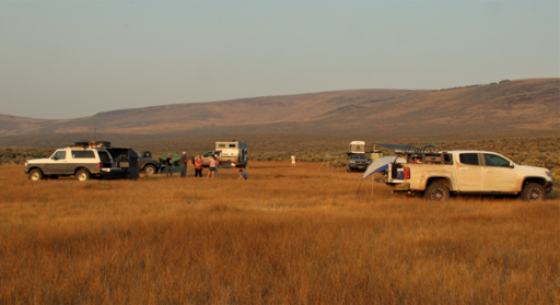
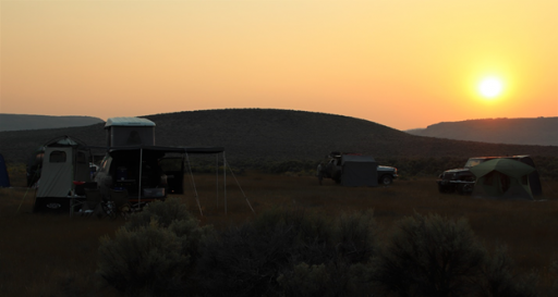
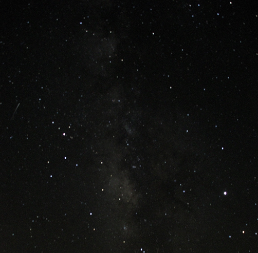
Later we sat in a big circle & chatted while the evening sky turned dark and the stars came out. We even witnessed a few shooting stars. We made it an early to bed evening since it was a long dusty driving day and everyone was tired.
Sunday: We woke up to overcast skies which helped keep down the temp but it still got hot as the day progressed. We departed our camp by 9:30 am and drove south. We had a long day of driving with lots of things to see.
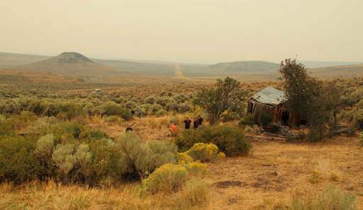
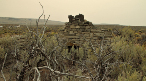
A while up the road, we stopped at a dilapidated wood house at the mouth of a Spring. Further down the trail we came across the ruins of a stone building – we don’t know what it was or how long it had been there. We saw a similar ruin a bit further down the road.
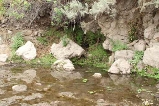
After our exploratory stops, we continued towards Steven’s Camp which was west of us and arrived there in time for lunch. Steven’s camp is located in Upper High Rock Canyon and consists of a rustic building that contains a couple of bedrooms with bunk beds, a full kitchen and a shower (hot water heater too). Outside is a pit toilet and a lovely cold stream running in between the two buildings.
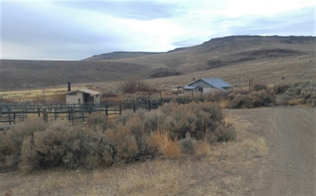
We explored and had lunch before we continued south back down the road towards the High Rock Canyon Wilderness area.
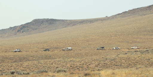
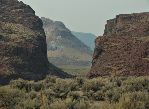
This drive took us over several water crossing and thru narrow slot canyons with beautiful rock walls towering over us.
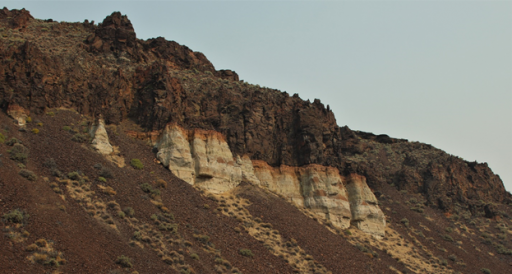
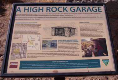
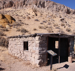
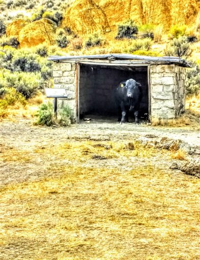
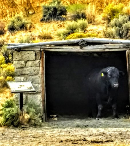
We made a quick stop at the High Rock Garage (built around 1916). There was a visitor in the Garage enjoying the shade—a Bull. It didn’t like all of us being there so it got up and left giving us a dirty look that a bull can only do.
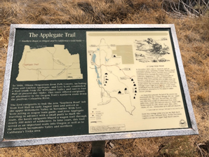
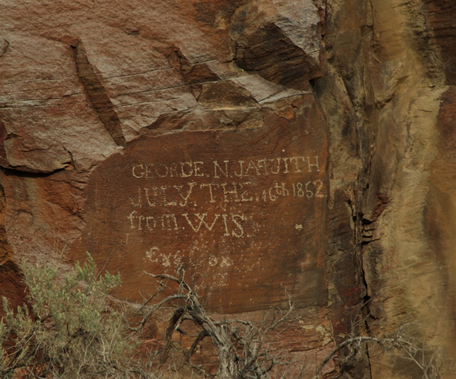
A bit further we found a pioneer’s name carved into the rock wall from 1852. We were on the Applegate Trail heading out of High Rock Canyon wilderness. The trail was still full of bumps but got better as we progressed. However, the breath-taking views and some emigrant graffiti were well worth a few bumps, wobbles and humpity-bumps along the way.
As a side note… in 1864 Jesse Applegate and his crew constructed this trail which began in Nevada for wagons and emigrants as a bypass from the California Trail to reach Oregon.
We all agreed that these were some tough folk to traverse the ledges, canyons, mudflats, and streams all the while hearing coyotes howling at night while camped.
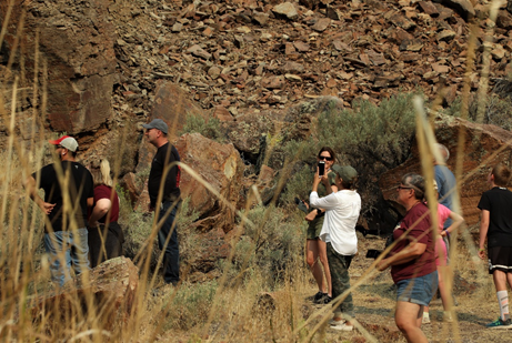
We stopped at the top of the Wagon Wheel Rut hill where we met another Overlanding couple who are also OB members. They knew about our trip but decided to come in from the opposite direction. We chatted with them a bit then jumped back into our rigs to drive down the wagon rut hill to find our next camp spot.
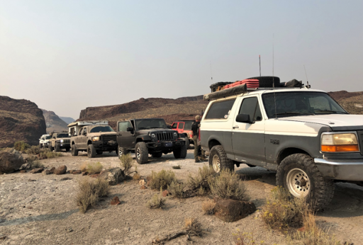
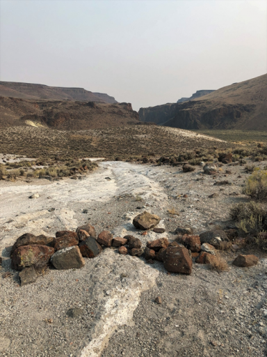
By early evening we were in Little High Rock Canyon and camped in a small canyon next to Little High Rock Creek. We named it the Little High Rock Hilton Campground because this was there. Not original but an appropriate name.
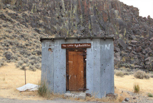
Everyone set up camp and enjoyed the rest of the daylight hours before making dinner.
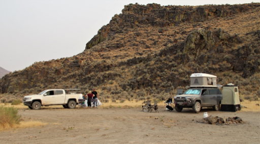
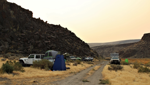
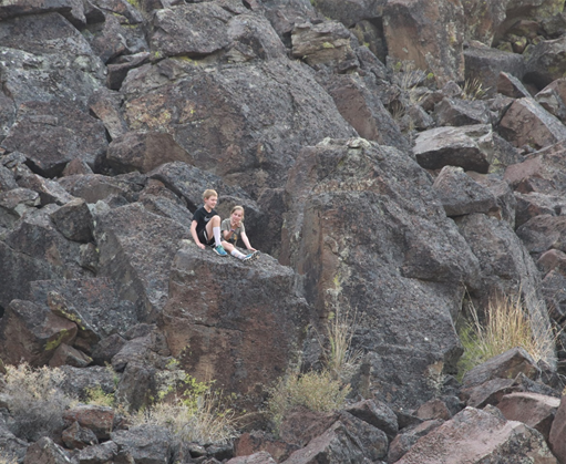
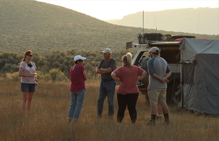
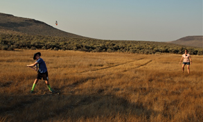
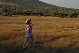
As the sun set, the kids played an inning of stickball with an empty plastic bottle as the ball.
We enjoyed a fairly clear night. This night we were able to sit around 2 propane fire rings and enjoy each other’s company.
The next morning, we awoke to hazy skies that made for a unique sunrise.
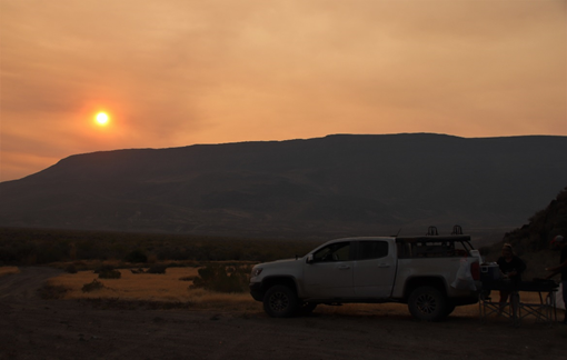
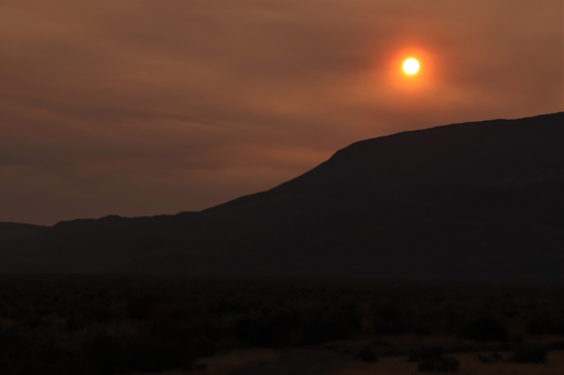
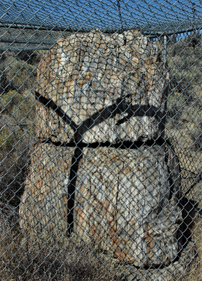
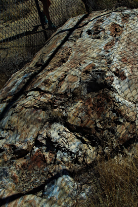
Monday, even though we woke to a hazy sunrise, clear skies prevailed later. After braking camp by 9:30, we headed south, then southwest through Little Smoky Canyon area. We eventually popped out of the Little High Rock Wilderness area at County Road 34 where we headed north to the Petrified Forest and viewed a couple of petrified tree stumps behind a chain link fence.
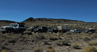
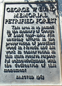
From there we went south on 34 all the way to Gerlach where we ended the trip and smokey skies were our view on the way home.
Big THANKS to Marc B. for leading this trip through the trails and water crossings. We can’t wait for next year and another great trip.


