Influencer II
Plan ”A” at this time of year is usually to be in the Southwest enjoying the red rocks, canyons and deserts. However, from my base here in Victoria, BC Canada that has been out of the question for some time now :-(
While hunkering down over the winter I started to plan a trip in the opposite direction. ”Go north young man” :-) We would head up through BC to the Alaska Highway then up the Klondike Highway to the Dempster Highway and finally the ”new” Inuvik/Tuk Highway to the Arctic Ocean. We would return via the Dempster, Klondike and Alaskan to the Stewart/Cassiar Highway and (if allowed) pop over into Hyder, AK to see the sights. I was really starting to get excited about this trip but our Yukon and Northwest Territory also closed their borders and again made me pull back my plans.
Plan ”C” was to visit the Kootenays in the Southeast corner of BC and I created a great route through the mountains and valleys to enjoy the hot springs and many small fishing lakes ...BUT... we have recently been restricted to travel within our own region, which limits me to Vancouver Island.
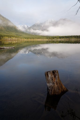
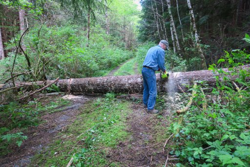
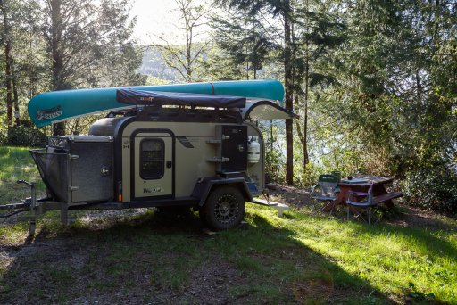
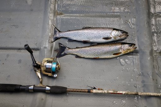
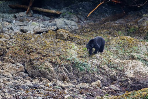
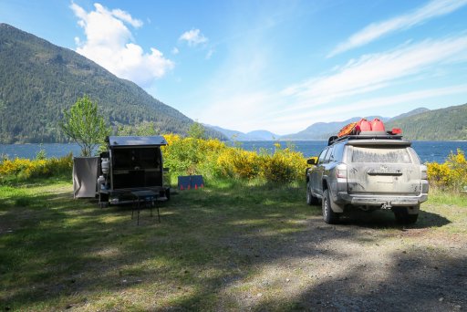
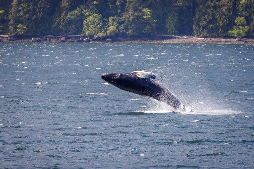
So plan ”D”.... tomorrow we leave for the North end of Vancouver Island for 2 weeks, to explore the remote coastlines and cave complexes of this Karst topography, and fish in the many small lakes while staying in the tiny, primitive Rec Sites.
I guess it's not so bad enjoying your own backyard, but I still badly want to put some serious miles under the rubber.
Sigh..... hopefully soon.
While hunkering down over the winter I started to plan a trip in the opposite direction. ”Go north young man” :-) We would head up through BC to the Alaska Highway then up the Klondike Highway to the Dempster Highway and finally the ”new” Inuvik/Tuk Highway to the Arctic Ocean. We would return via the Dempster, Klondike and Alaskan to the Stewart/Cassiar Highway and (if allowed) pop over into Hyder, AK to see the sights. I was really starting to get excited about this trip but our Yukon and Northwest Territory also closed their borders and again made me pull back my plans.
Plan ”C” was to visit the Kootenays in the Southeast corner of BC and I created a great route through the mountains and valleys to enjoy the hot springs and many small fishing lakes ...BUT... we have recently been restricted to travel within our own region, which limits me to Vancouver Island.
So plan ”D”.... tomorrow we leave for the North end of Vancouver Island for 2 weeks, to explore the remote coastlines and cave complexes of this Karst topography, and fish in the many small lakes while staying in the tiny, primitive Rec Sites.
I guess it's not so bad enjoying your own backyard, but I still badly want to put some serious miles under the rubber.
Sigh..... hopefully soon.