Member III
- 2,827
- First Name
- Joshua
- Last Name
- Downs
- Member #
-
20468
- Ham/GMRS Callsign
- KK6RBI / WQYH678
- Service Branch
- USMC 03-16, FIRE/EMS
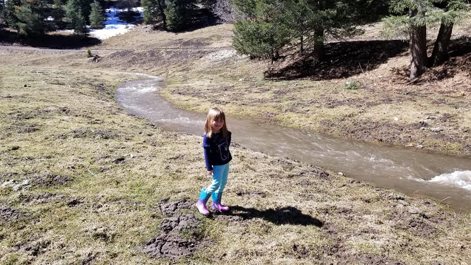
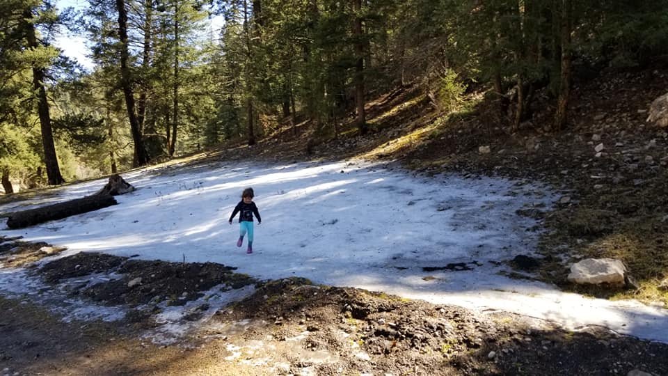
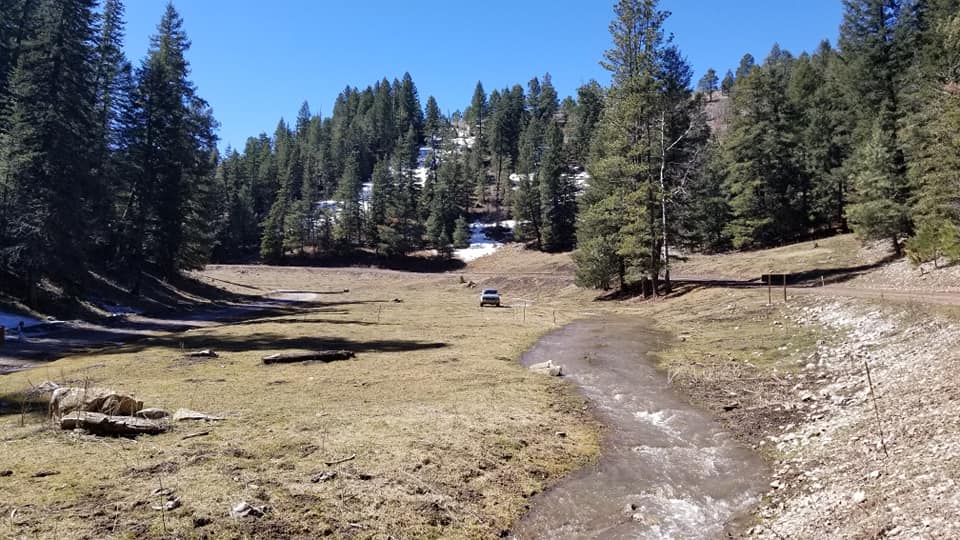
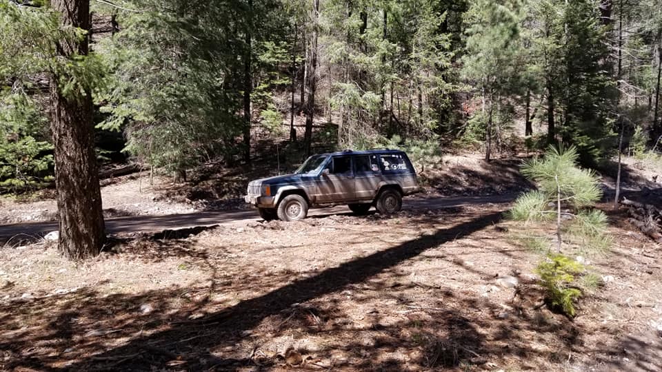
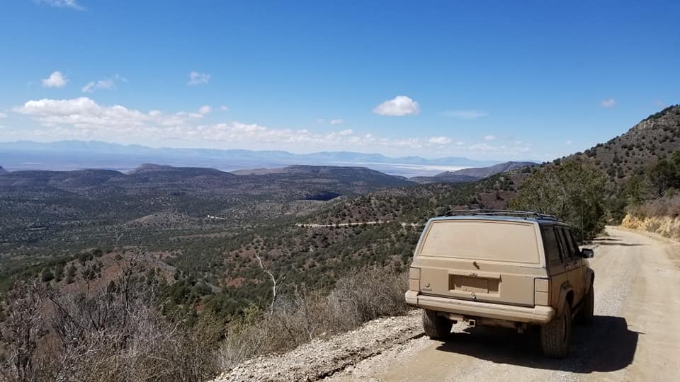
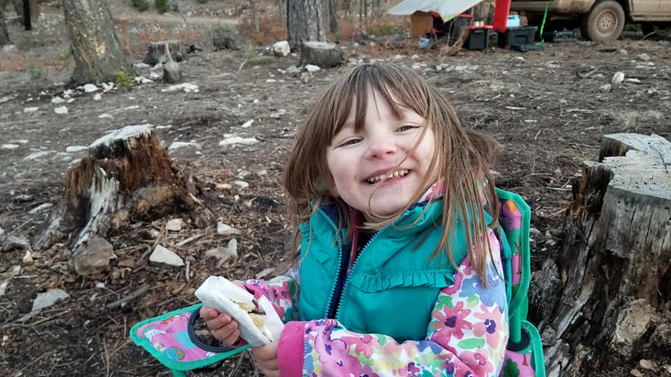
Took a few days out of spring break and loaded my daughter up and headed for the Lincoln Ntl Forrest and the New Mexico BDR.
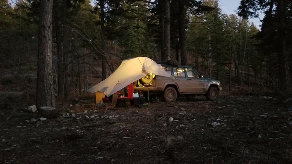
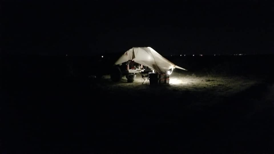
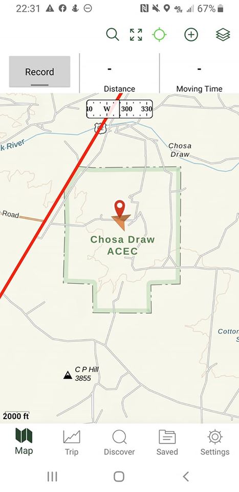
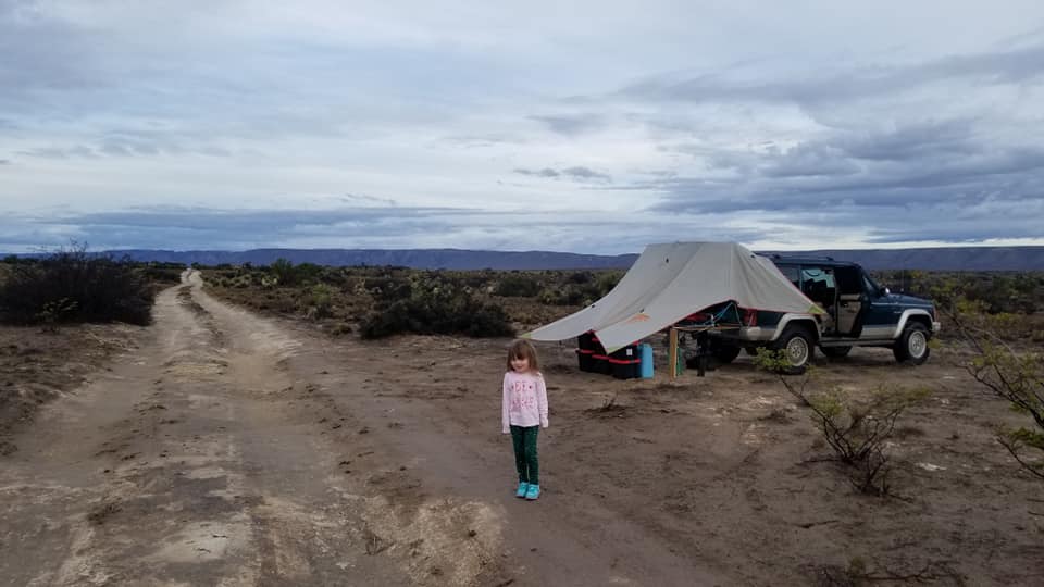
WE got a late start on the day so made it as far as White's City close to Carlsbad Caverns and setup camp on small square of BLM land just south of White's City.
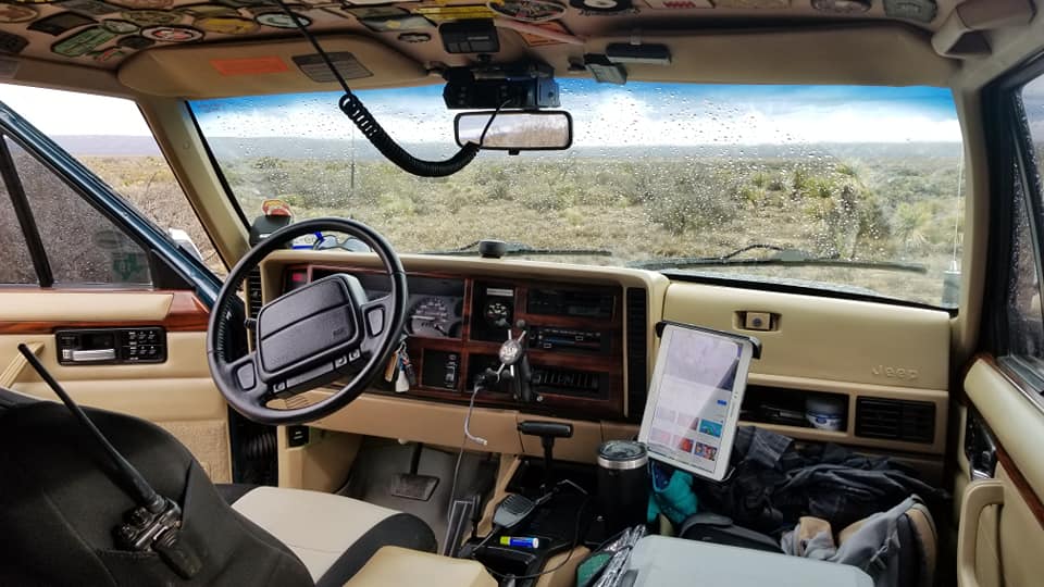
Getting back on the road after packing up night 1's camp.
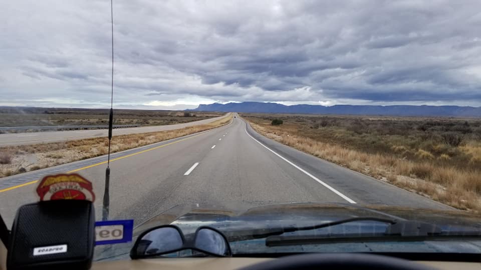
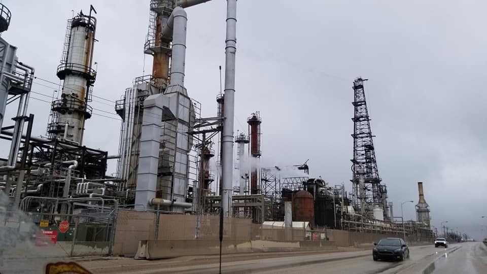
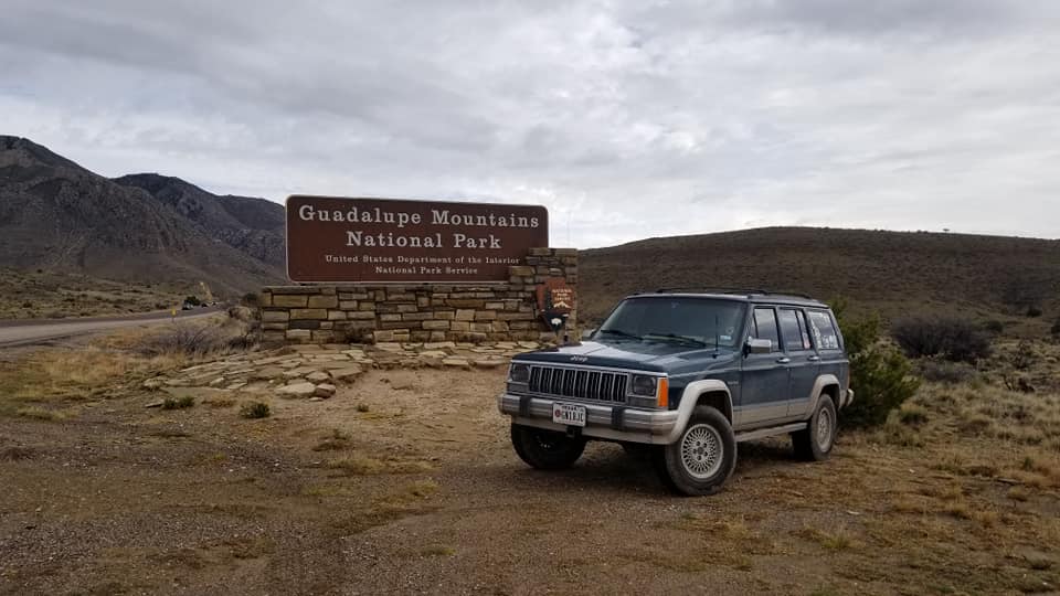
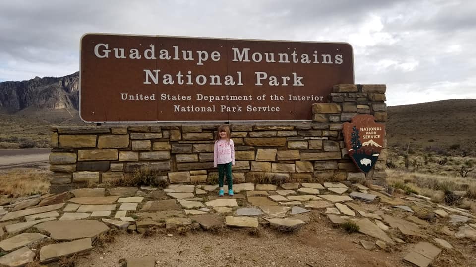
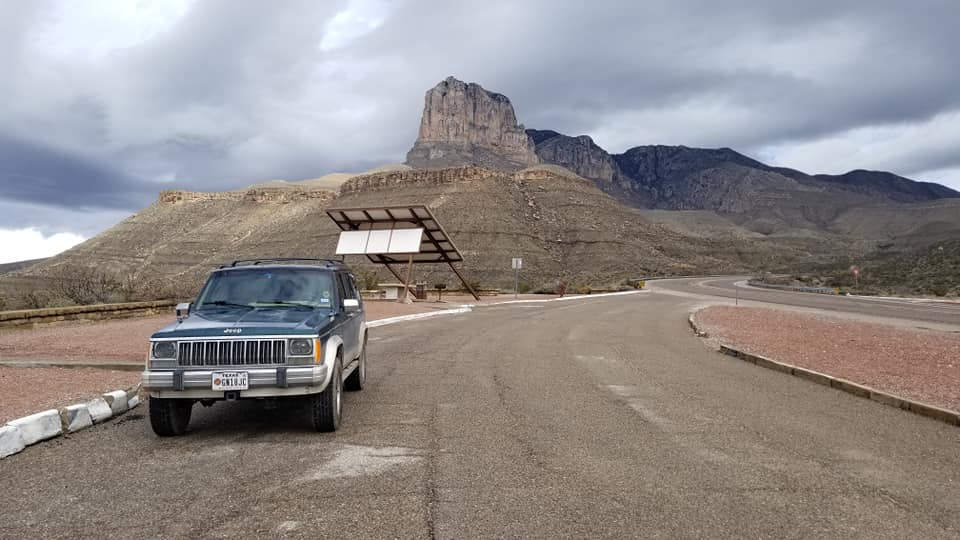
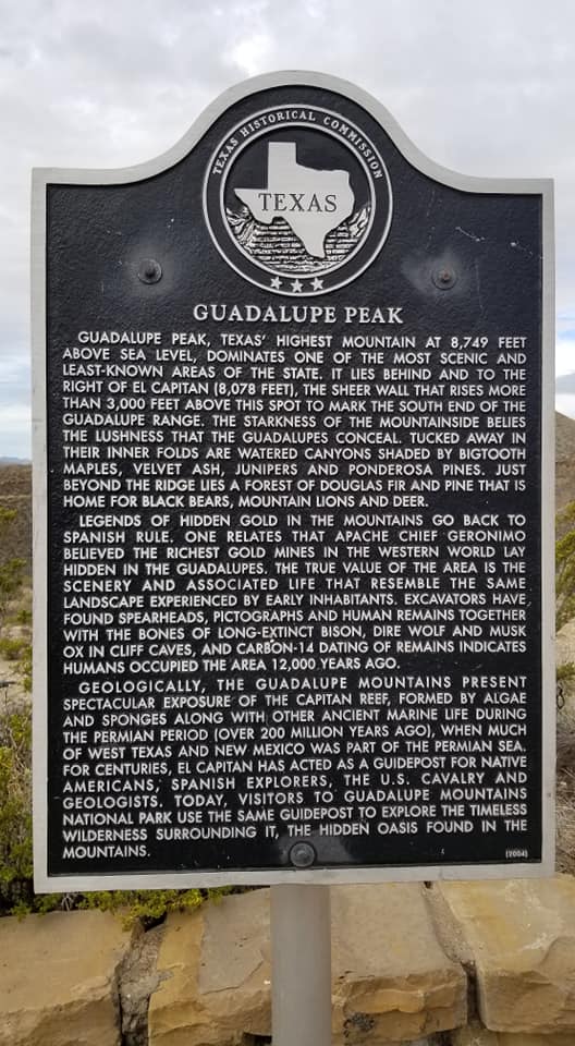
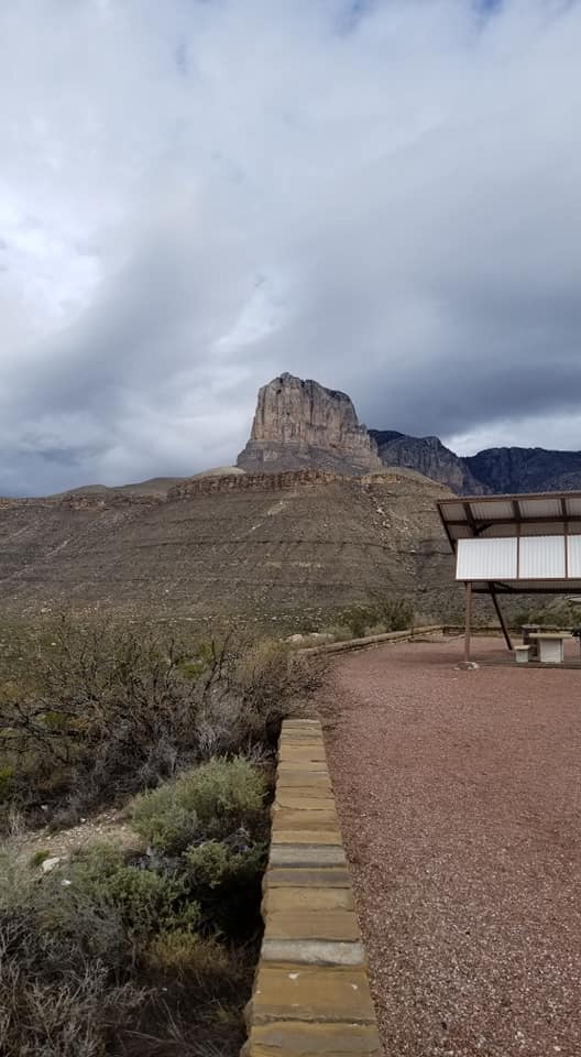
Didn't really stop here just drove though on the public road on the way to Del City, Tx.
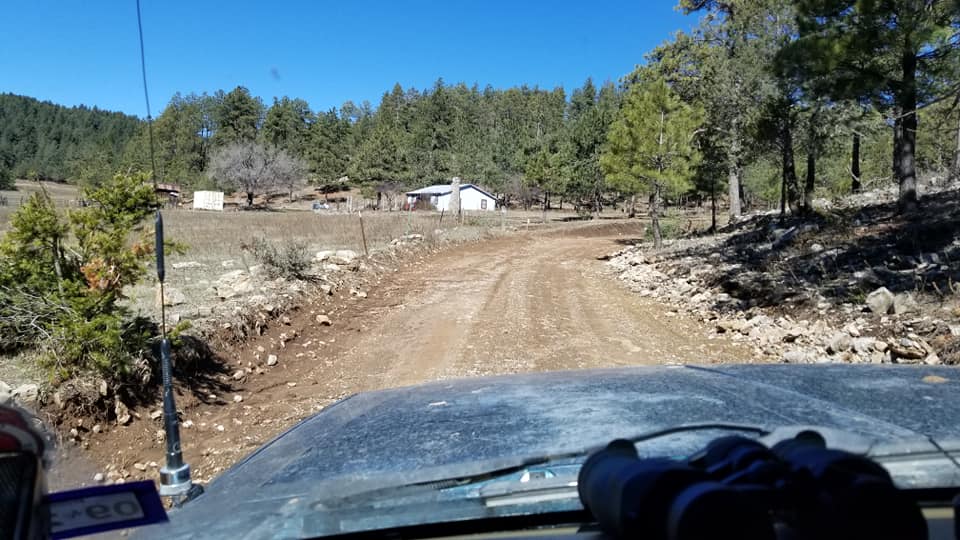
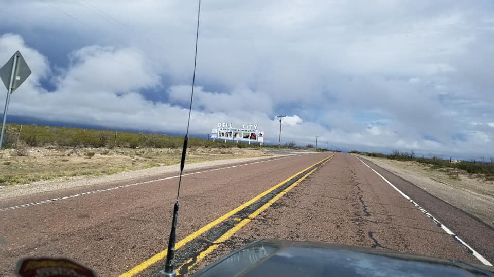
13 miles to Del City and the start of the BDR.
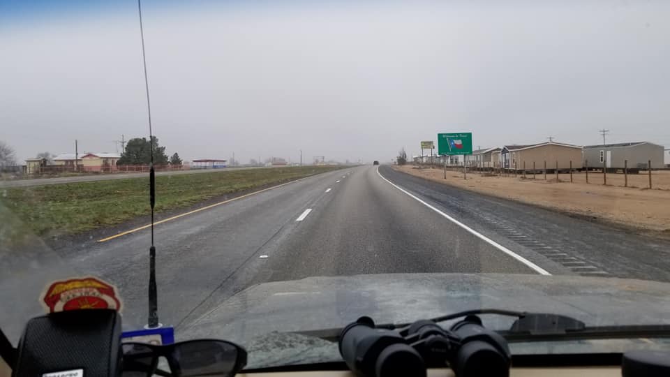
NM/TX state line. No sign just a cattle guard and a county road sign.

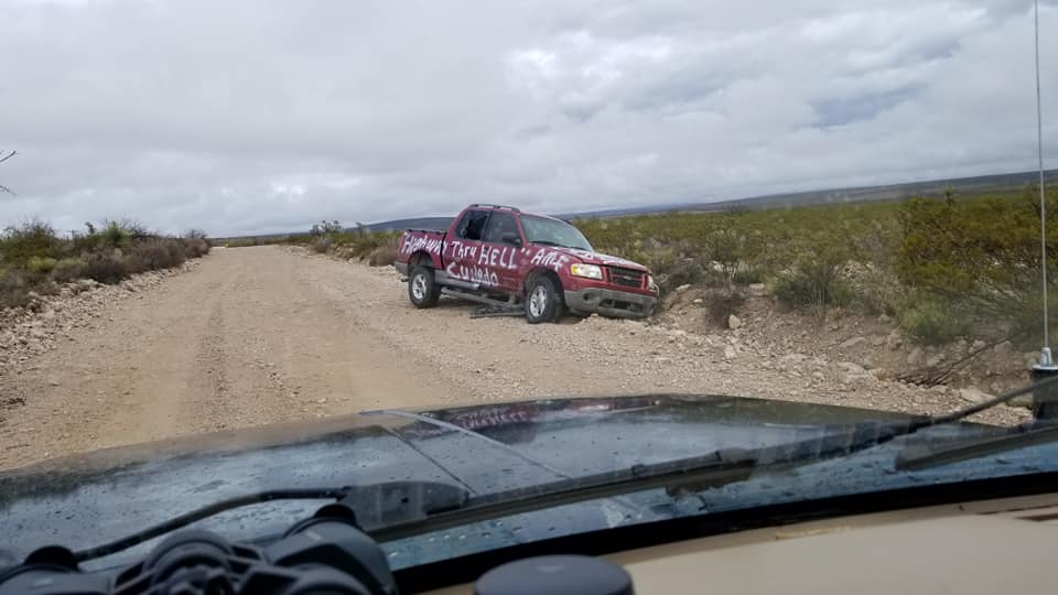
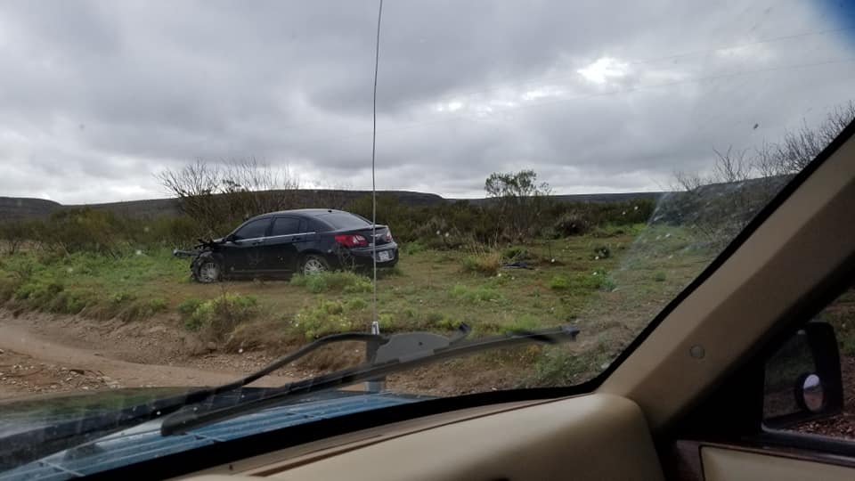
Few miles up the road came across this. Later ran across a Deputy Sheriff and asked if they knew about it. He said it's been there for a few months now and htey aren't in a hurry to remove it.
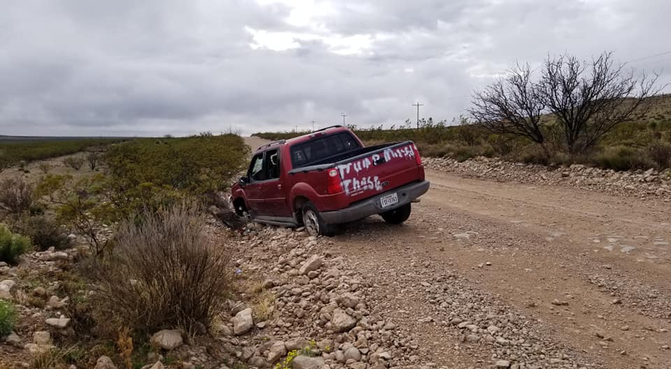
Another wreck that had been pulled to the side of the road.
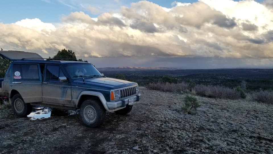
"The Rim" in the clouds

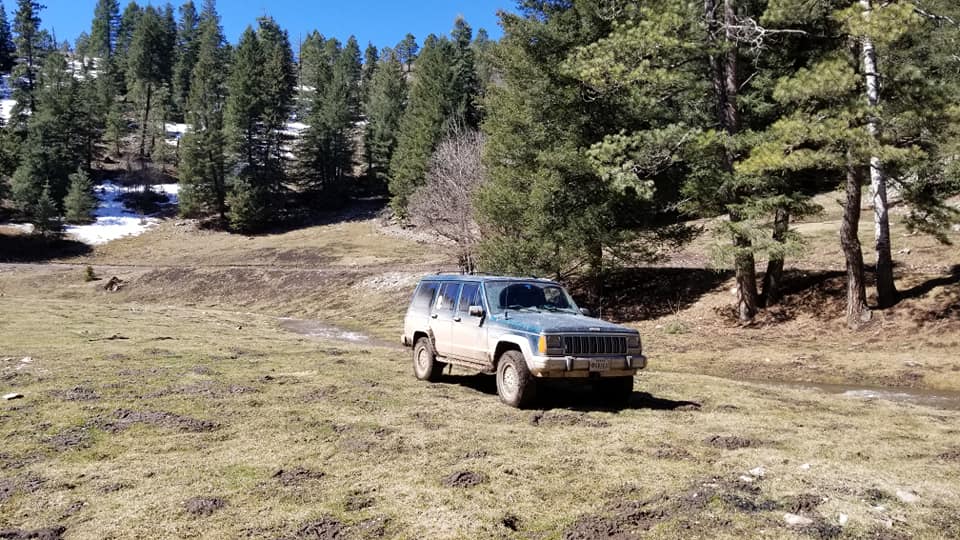
Down in the valley next to The Rim. They had gotten a ton of rain the night before and would get more thoughout the day. Made for some interesting travel on the gravel/dirt roads. Plenty of mud but still traversable.


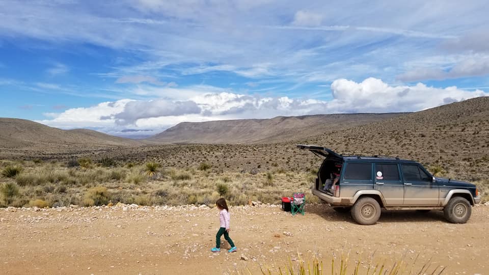
Lunch stop
"El Paso Gap". This started a little section of pavement. THis hillside piece wsa the only thing there.

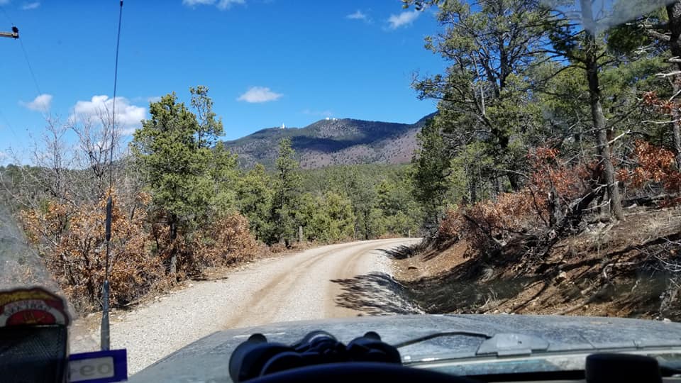
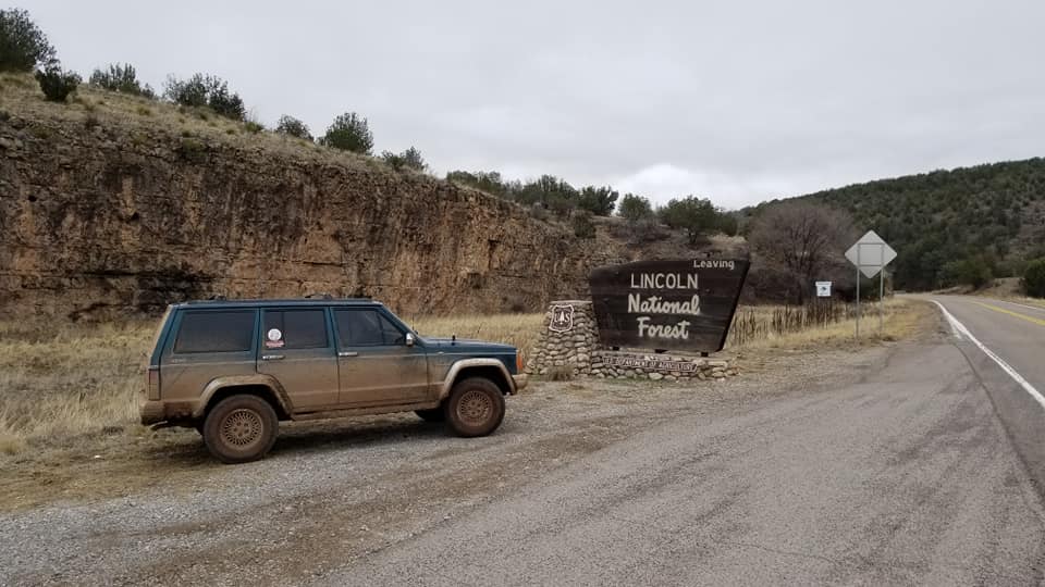
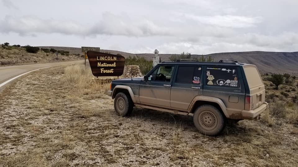
After some elevatoin gain on the pavement we enter the National Forrest and are about to make our way long the rim we were just below in the previous pictures.
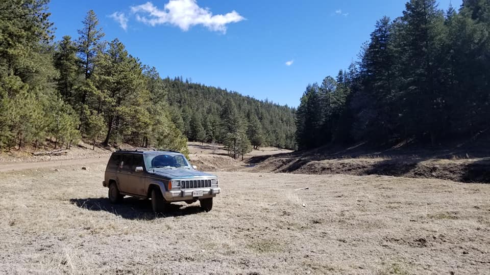
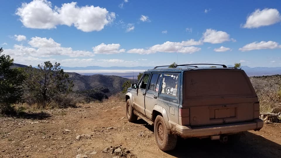
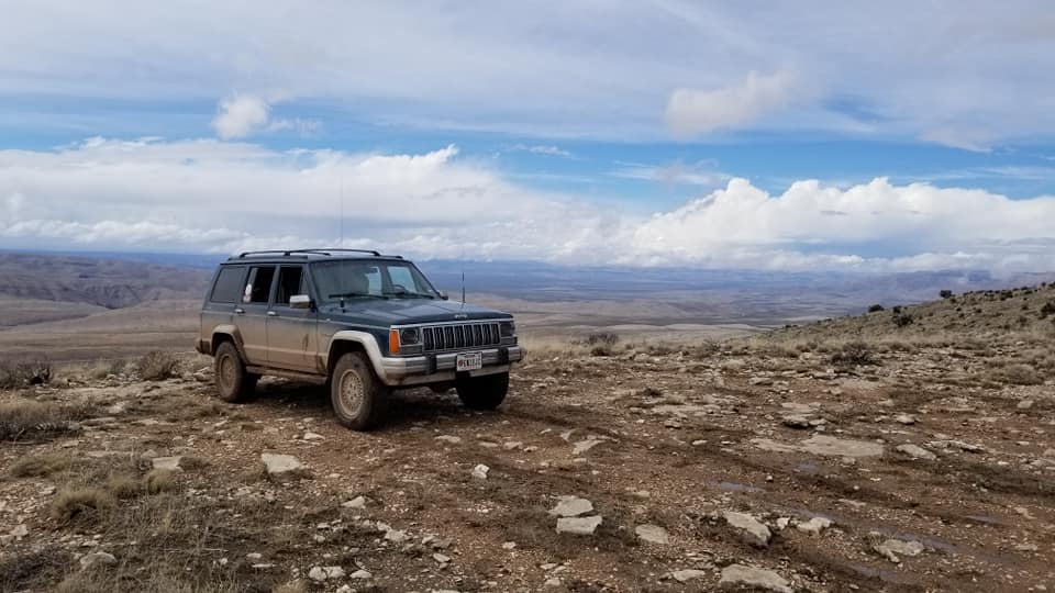
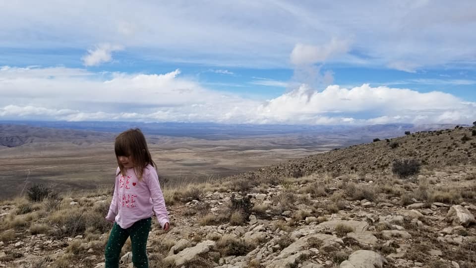
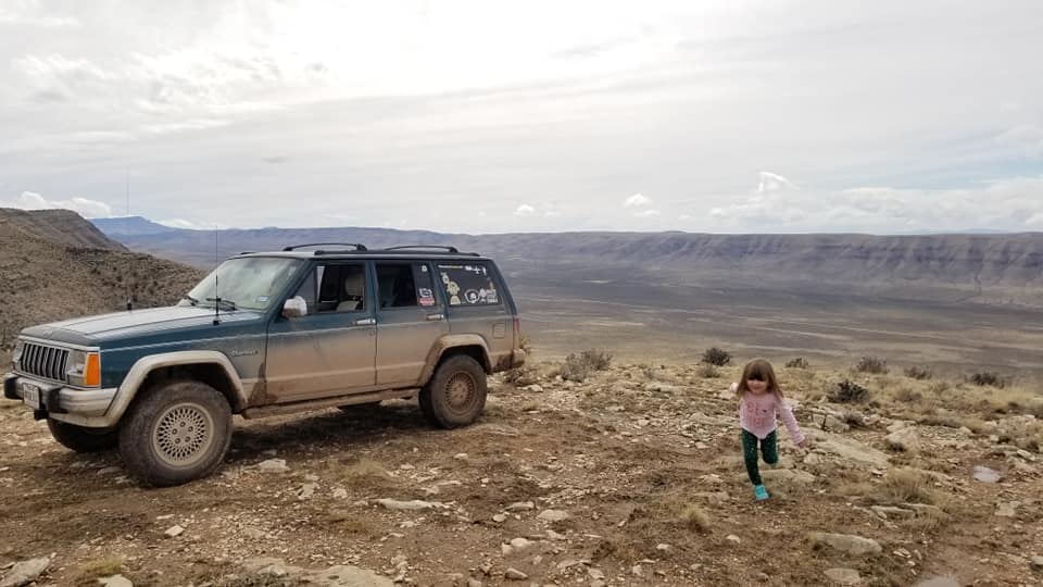
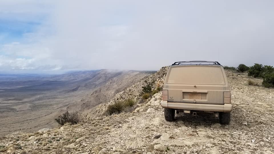
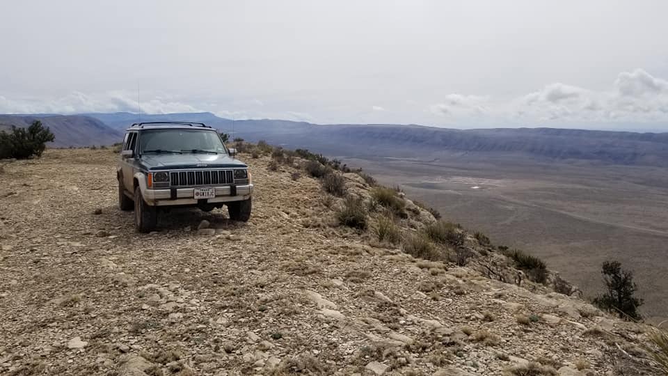
This would make a really great but possibly windy camp site. 4wd would be needed to get out of there.
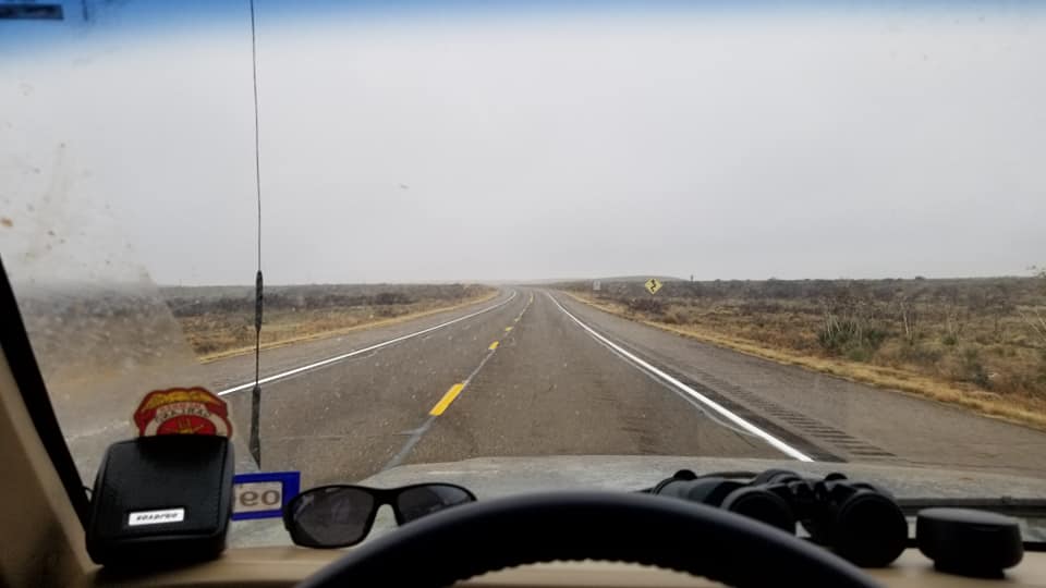
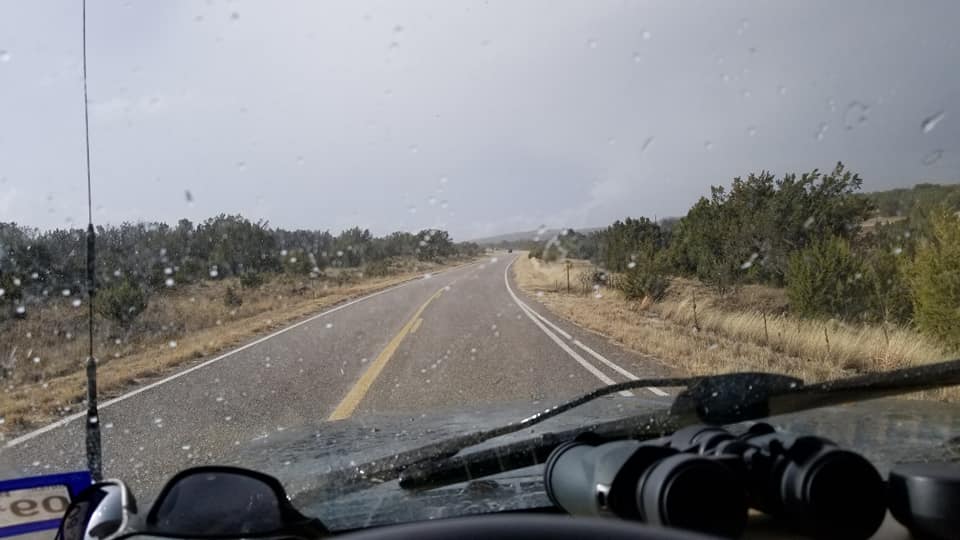
20 miles south of Weed, NM broad daylight rain and some lightning.
WE got a late start on the day so made it as far as White's City close to Carlsbad Caverns and setup camp on small square of BLM land just south of White's City.


Getting back on the road after packing up night 1's camp.

Didn't really stop here just drove though on the public road on the way to Del City, Tx.


13 miles to Del City and the start of the BDR.

NM/TX state line. No sign just a cattle guard and a county road sign.

Few miles up the road came across this. Later ran across a Deputy Sheriff and asked if they knew about it. He said it's been there for a few months now and htey aren't in a hurry to remove it.


Another wreck that had been pulled to the side of the road.

"The Rim" in the clouds

Down in the valley next to The Rim. They had gotten a ton of rain the night before and would get more thoughout the day. Made for some interesting travel on the gravel/dirt roads. Plenty of mud but still traversable.


Lunch stop

"El Paso Gap". This started a little section of pavement. THis hillside piece wsa the only thing there.

After some elevatoin gain on the pavement we enter the National Forrest and are about to make our way long the rim we were just below in the previous pictures.

This would make a really great but possibly windy camp site. 4wd would be needed to get out of there.


20 miles south of Weed, NM broad daylight rain and some lightning.


