Summary:
Coordinates: 33.0961, -105.8856
Near: Cloudcroft, NM on the NMBDR
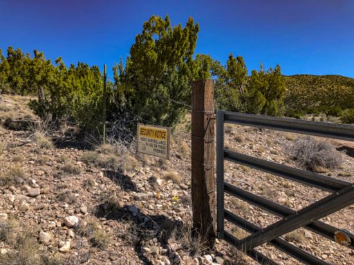
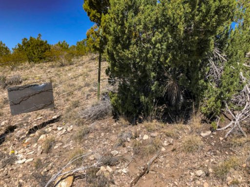
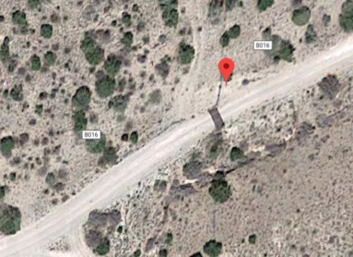
On the North side of the road East side of the cattleguard
Trackable: Custom Overland Bound Ambassador Coin w/ Member #7395
Details:
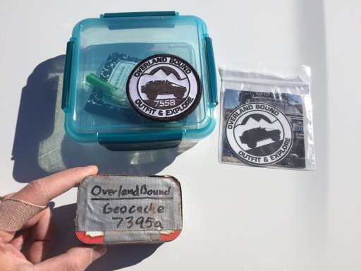
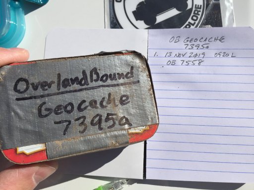
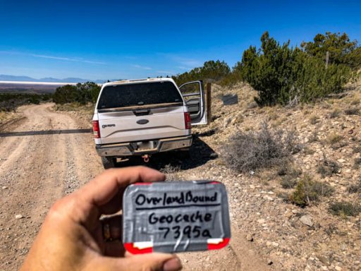
From March 28-31, 2019 my son and I drove the first half of the New Mexico Back Country Discovery Route (NMBDR). We started in Del City, TX and got off the trail in Reserve, NM. On the second day we stopped outside Ruidoso, NM and dropped an Overland Bound specific GeoCache with a custom Overland Bound Ambassador Coin. My member number is on the coin, so it could be considered a Trackable. The container is an Altoids can covered in duct tape.
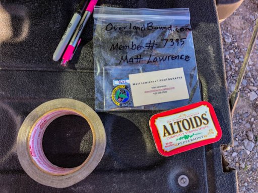
I labelled it as Overland Bound Geocache 7395a:
I created this post before but it has disappeared. The first time I gave hints before I gave the coordinates, just in case anyone wanted a bigger challenge. This time I will just get to the point.
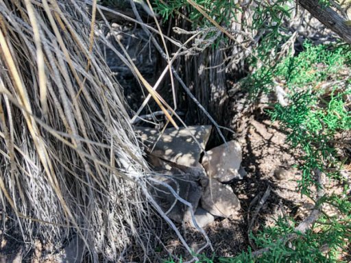
It is under a tree Northwest of Cloudcroft, NM covered by some rocks.
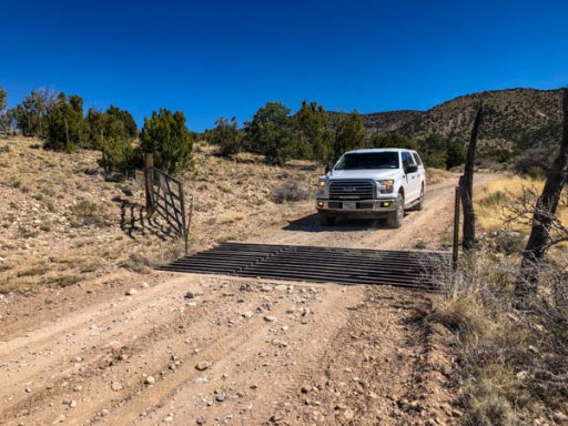
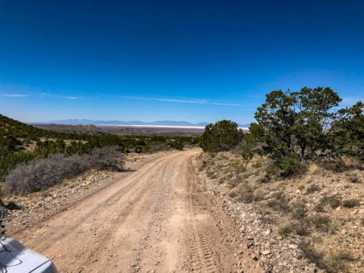
Whitesands Missle Range can be seen to the West.
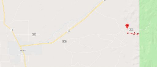
My original map showed it to be on the edge of the National Forest but when I got home it appears that it may be outside the National Forest BLM land. It is right next to the road so I do not think there will be a problem with collecting it.
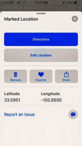
The location is: 33.0961, -105.8856
If you have any questions, please let me know.
Coordinates: 33.0961, -105.8856
Near: Cloudcroft, NM on the NMBDR
On the North side of the road East side of the cattleguard
Trackable: Custom Overland Bound Ambassador Coin w/ Member #7395
Details:
From March 28-31, 2019 my son and I drove the first half of the New Mexico Back Country Discovery Route (NMBDR). We started in Del City, TX and got off the trail in Reserve, NM. On the second day we stopped outside Ruidoso, NM and dropped an Overland Bound specific GeoCache with a custom Overland Bound Ambassador Coin. My member number is on the coin, so it could be considered a Trackable. The container is an Altoids can covered in duct tape.

I labelled it as Overland Bound Geocache 7395a:

I created this post before but it has disappeared. The first time I gave hints before I gave the coordinates, just in case anyone wanted a bigger challenge. This time I will just get to the point.
It is under a tree Northwest of Cloudcroft, NM covered by some rocks.


Whitesands Missle Range can be seen to the West.

My original map showed it to be on the edge of the National Forest but when I got home it appears that it may be outside the National Forest BLM land. It is right next to the road so I do not think there will be a problem with collecting it.

The location is: 33.0961, -105.8856

If you have any questions, please let me know.
Attachments
-
142.5 KB Views: 48


