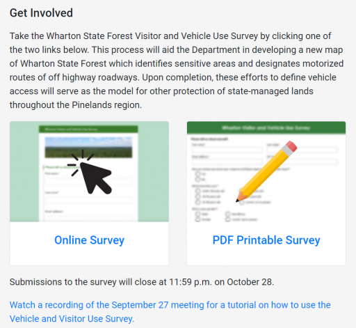
What are the requirements to take part in the survey?
Walgreenslistens
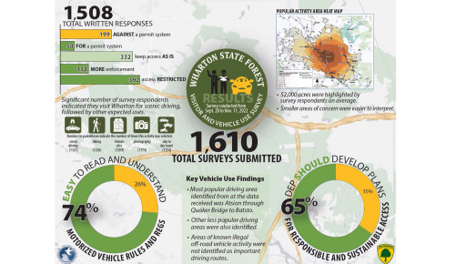
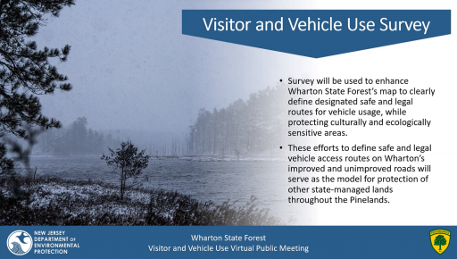
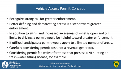
This is from a while ago, we've had a few online meetings with NJ officials and representatives from Tread Lightly!, Pinelands Preservation Association, Open Trails NJ, and more. The main goal of the meetings were to update what is called the "MAP" which designates the legal roads throughout NJ State Forests, namely Wharton. I believe more meetings are still on the schedule, it's been quite a long process.
In the most basic review of what's happening, tons of trails have been poorly kept and/or are too overgrown to use effectively. Some are named roads, some are not. Some roads were created illegally, but actually have great use to visitors or reach into areas that would otherwise be inaccessible. The Forest Service doesn't have the means, the money, or the personnel to maintain the area as a whole. An updated MAP has the potential to remove hundreds of miles of trail from public access. Similar to what just happened out in Moab.

