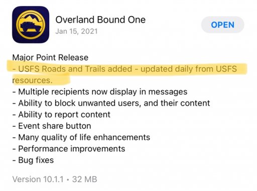
Disregard, I thought it would include details on the roads themselves when. I see them now when I get zoomed in. But on that note is that a possible feature down the road to have the Level of Difficulty and Seasonal Closure dates available? Much like Gaia or the NFS interactive map?