Navigators

  • HTML tutorial

Gto49

Rank I

Traveler III

248
Holland, MB, Canada
First Name
Ron
Last Name
Hofman
Ham/GMRS Callsign
VE4RAY
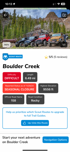
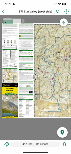
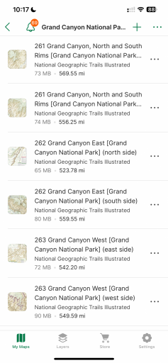
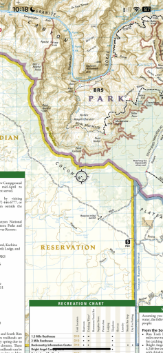
Hello. This would be my first post after my newbie introduction I made earlier today. I’m new to overlanding and trying to find out what “tool” to use to find places to go… as in navigation aids, specifically of the electronic variety. I’m from Canada but most of my adventures will be in the US, mainly because of the people I know. Cell service being what it is (or isn’t), roaming charges are pretty steep, so I’m looking at a Garmin unit like the Tread. Some reviews though make me question the “investment.” Does anyone have experience using one? I’m looking at the 8” model for my Jeep Wrangler 2 door.
 

Attachments

MrWilsonWJ

Rank V
Launch Member

Member III

1,691
Kennewick, WA
First Name
Dustin
Last Name
Wilson
Member #

23384

Everyone will have there own opinion on what's going to be best but I just run a Galaxy tablet with Gaia. I forget what model it is but 10", wifi only with expandable storage. Going with a setup like that you can download the maps of the area you will be going to and view them with no service. There are two options for map downloads, one being download along planned route, which is just like it sounds and only downloads the portion of the map your route goes through, not sure how far off the road it goes. The other is to download map tiles, which you pick the area you're going to be in and get just that piece of the map. I prefer the second and usually download a way bigger area than where I plan to go so I can look for alt. routes and other points of interest. I haven't used anything Garmin in over 20 years so not sure what they are like but with the Premium Gaia membership you get all functions of mapping and tons of map layers to choose from which is really handy. I've been running this setup for 5-7 years and have no complaints. Also with the account you can have it on all your devices and access it from a laptop for building routes or looking up past tracks (both can be done from a tablet but easier on a computer) Most people already have a tablet that is capable of doing this so it's one less thing to spend money on that only gets used on trips. Plus side is you'll have your tablet for books, music, movies or what ever else you have downloaded. I have a Ram X mount for mine in my Jeep that holds it pretty secure just above the factory stereo. Pretty sure there is a free version of Gaia so you could always download the app and play with it a bit to see if you even like it. I just went back and reread your question and I guess my response isn't really an answer to what you asked but I already typed it so I'm hitting "post reply" .....No, I have no experience using the Garmin and don't know if it's worth the investment. I have no idea what the Garmin costs but since you said it was an investment you might give this setup a shot before dropping coin on something new. If you like it you can always upgrade the tablet you're using and then you have a new tab for home and in the rig
 

macr88

Rank VII
Launch Member

Expedition Master III

5,643
Emmett, ID, USA
First Name
Mac
Last Name
Raslan
Member #

4788

Ham/GMRS Callsign
KJ7TLH or GMRS WRBM678
Service Branch
Sweet District II
I’m not sure if Gaia shows private property lines or not but that’s my biggest issue.

Garmin Tread shows property lines There’s nothing worse than doing a long trip and driving up to a locked gate.
I think it’s complete BS that they can shut it down like this, the road should remain passable.

I’ve tried Gaia and OnX a while back roughly 2018 or so and on and off from that point on, signed up for OnX a couple years ago but didn’t like it I started using Avenza, Garmin Earthmate and HuntWise.
Recently downloaded Garmin Tread and Explore but without a compatible device they’re limited in their functionality but even with that they’ve been great so far. My Earthmate routes and points transferred right over.

Here are some screenshots of Tread, explore, Trails Off-road and Avenza.

Tread
IMG_1408.png
IMG_1410.png

IMG_1411.pngIMG_1412.pngIMG_1413.png

Avenza, paper maps on your phone or tablet. Some maps are free, some are paid like the National Geographical maps.
IMG_1414.pngIMG_1415.pngIMG_1416.png
 

Attachments

pluton

Rank IV

Member I

951
Santa Monica, CA, USA
First Name
Keith
Last Name
BBB
Member #

43443

Only drawback of tablets is that many (all?) don't get as bright as Garmin's best units. It only matters during the day, but that's when I do all my backcountry driving, so it does matter. I can tell you that the brightness of the iPad Mini 6 is just barely acceptable and the Garmin Montana 700i is completely unacceptable except in an emergency. I think, having never seen one in action, that a Tread or other Garmin unit INTENDED for dashbaord use should have a bright, easily daytime-readable display
 
  • Like
Reactions: El-Dracho

El-Dracho

Ambassador, Europe
Moderator
Member
Supporter
Investor

Protector I

13,461
Lampertheim, Germany
First Name
Bjoern
Last Name
Eldracher
Member #

20111

Ham/GMRS Callsign
DO3BE
Only drawback of tablets is that many (all?) don't get as bright as Garmin's best units. It only matters during the day, but that's when I do all my backcountry driving, so it does matter. I can tell you that the brightness of the iPad Mini 6 is just barely acceptable and the Garmin Montana 700i is completely unacceptable except in an emergency. I think, having never seen one in action, that a Tread or other Garmin unit INTENDED for dashbaord use should have a bright, easily daytime-readable display
This is the case with many standard tablets. However, there are also tablets available which are extremely bright and do not have these problems. Those you will find used as digital road books at rallies, for example. The display of my rugged outdoor tablet is also incredibly bright and I have no problems with it even in strong sunlight.

One major disadvantage of using a device with touch screen, which we unfortunately have almost everywhere these days, is that the operation suffers when it gets dusty. Likewise, when it gets rough on tracks, a device with buttons is simply easier to operate. Or you can use a tablet with buttons or a remote control like the motorcycle people do. For example, I have put the zoom function of the map on the volume buttons on my tablet, very convenient.