Michigan UP in the M715

  • HTML tutorial

joe.schigel

Rank IV

Enthusiast III

1,212
Detroit, MI
Hey all,
I'm creating this post to document my trip this past week that I took with some friends to explore Michigan's UP and hopefully plot a route for a trip later in September for the Back Yard Overland Tour. There are a ton of photos and videos so I'll try to break it down day by day to keep it a bit more concise.

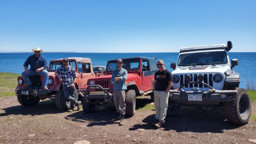
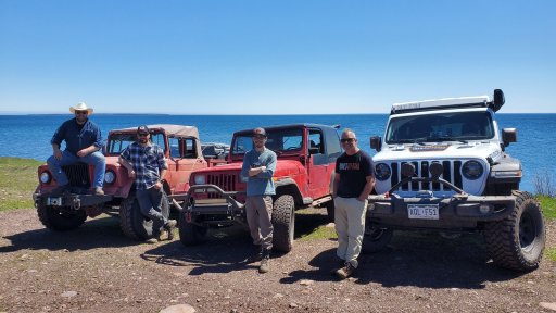
The group:
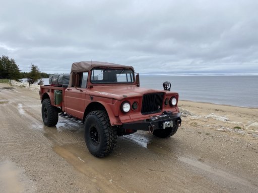
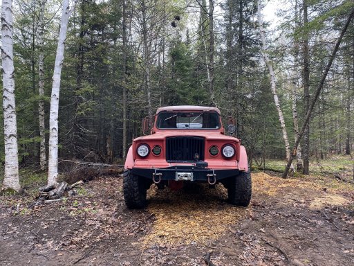
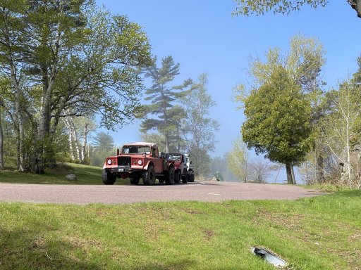
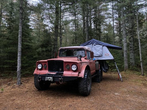
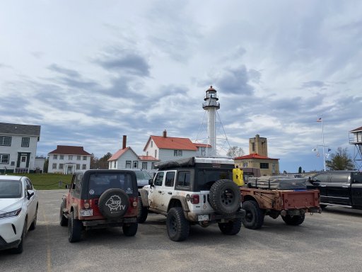
1967 Jeep M715 w/ V10 - myself and my codriver
1994 Jeep YJ w/ 4cyl Mercedes Supercharger - JeepSheepTV
2022 Jeep JL Diesel - TrailsOffroad
20220527_140048.jpeg


Day 1 - halfway there

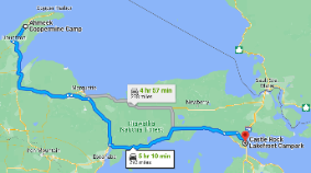
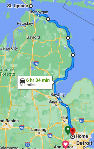
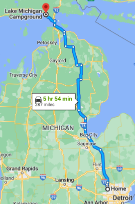
On the first day of my trip, myself and my codriver drove from our homes in the Northern Metro Detroit area to St. Ignace, MI the long way. The 715 is the most comfortable at 55mph for high speed and going over 60 it's just not happy. so we take the back roads, they're more scenic anyways. Total driving was going to be about 6hrs with no stops, so more like a full day with a hand full of stops and a later start.
1654025468441.png

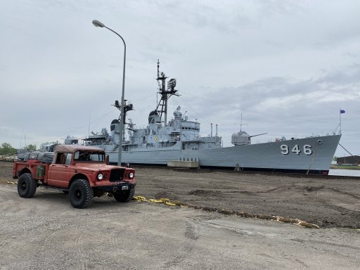
Our first stop after gathering supplies was Bay City. This was a half planned stop since we spotted the Vietnam Era Destroyer DD946 Edson! Since the M715 is also a Vietnam war era truck, we had to make the stop!
IMG_2353.jpeg

We were fortunate enough to talk with one of the sailors that served on this vessel when we stopped. He told us about the ground fire support missions that this ship participated in and informed us that we could stay the night on the ship if we wanted to! But he did warn us, that it is said to be haunted by an old caretaker who has been seen on the security cameras when know one was on board! I'll pass on that. haha. The most interesting thing that I thought about this ship was that it was in the Manhattan harbor during 9/11 and served as a temporary command post until better accommodations could be found for the FBI(?) I believe.

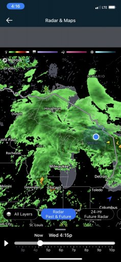
After we got lunch the weather unfortunately turned moist. This would be a common occurrence on this trip as it rained probably 40% of the time. This particular day, I think the UP got over 1" of rain! Making things more difficult for us is a less than watertight cab with water sneaking past the window seals and onto us. All this water eventually fogs up the windows and we have to wipe the moisture away with rags. My defroster was helping a little but was mostly effective on the passenger side. So we would travel with the defroster on and the driver's window open to pull the warm air across the windshield.
IMG_2354.jpg

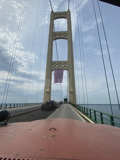
After many hours of driving in the rain, we made it across the Mighty Mac bridge and ventured onto our campsite for the evening. Just before we crossed the bridge, the storm started to grow in strength which made the crossing a bit nerve racking with low visibility, high winds, and slick surfaces.

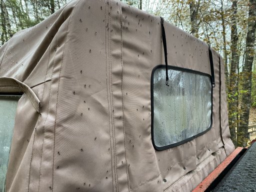
We got to camp at a National Park campground on the coast of Lake Michigan. This looked like a gorgeous spot when booking it online as it was right on the beach. As soon as we opened the doors of the cab, we were greeted by the largest swarm of mosquitoes / flies I've ever seen in my life! There were 100's of thousands of them! We put on bug spray and tried to look around a bit hoping it was a temporary setback. It was not. The bugs were flying in our faces and trying to bite me through my raincoat! As we went up to the beach the cloud of bugs only got thicker and as we crested a sand dune, we could see thousands of rain soaked mosquitoes in the dimples in the sand. This made the beach look black! I ran back to the truck after the encounter with a truly obscene amount of mosquitoes at the beach for the relative calm of the truck bound swarm. I can't imagine how much worse it would've been if it wasn't raining!
IMG_2355.jpeg

Back at the truck, we collected our thoughts and decided to brave a bold retreat a half hour back into town and rent a room for the night. I know what you're thinking, "those quitters! you should've toughed it out!". Well, at some point, it's just not worth it.

The rain would continue through the night until about 11:30am the next day.
 
Last edited:

joe.schigel

Rank IV

Enthusiast III

1,212
Detroit, MI
Day 2 - Getting There

1654088347304.png

Day two started like day one ended, rainy and buggy. The rain was forecast to continue until around 11 so we took our sweet time in the morning. We started off the day with getting coffee at Java Joe's. It's a great little hole in the wall and Joe is your classic eccentric old hippie type. We talked with him for a good while about our trip, Jeeps, VW's, and a myriad of other topics.

1654088090336.png

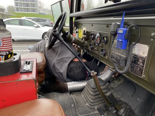
From there we ran to the local hardware store to grab some dryer ducting to repair my defroster. We realized that the driver's side heater hose was missing so we threw a new one in there! After that, the defroster worked perfectly the rest of this trip! this would prove extremely useful on our drive between L'Anse and Pictured Rocks later.

IMG_2367.jpeg

Once the defroster was repaired, we loaded up and head out. Luckily the rain was starting to break at this point. We took US-2 to attempt to stay south of the rain that was still soaking most of the UP. This meant that we were able to stay on the coast for a bit longer.

IMG_2376.jpeg

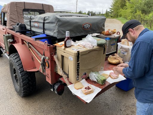
We eventually turned North on US-41 and made lunch at a gas station / carpool lot somewhere in the middle of nowhere.

IMG_2377.jpeg
IMG_2385.jpeg

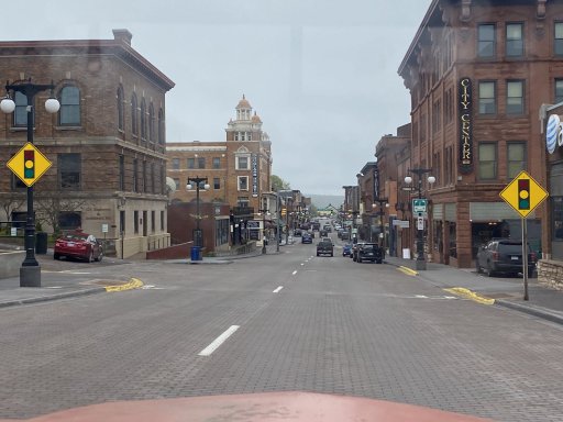
After some delicious side of the road deli sandwiches, we continue on to Houghton. This was a beautiful little mountain town that I did not expect to find in Michigan! I use the term "mountain town" because this place was much hillier than expected and it feels like it should be in a valley in Colorado somewhere. It's built right on Portage Lake and a steep hillside. It was very cool and we'll have to spend some more time there later.

IMG_2388.jpeg

We then made the steep climb out of houghton and onto the Ahmeek Copper Mine campsite. It was pretty foggy at this point so we really couldn't see what we were driving by. There, we met up with the rest of our group and set up camp.

IMG_2390.jpeg

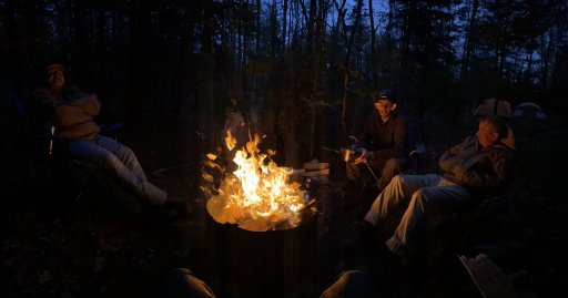
We made a beef stew for dinner that we would've preferred to have done over the fire, but since everything was soaked, it took forever to get a fire started. We then kicked back around the now burning fire and talked about our travels thus far and our plans for the rest of the week.

IMG_2394.jpeg


IMG_2407.jpeg
 

joe.schigel

Rank IV

Enthusiast III

1,212
Detroit, MI
Day 3 - dirt time

1654630649841.png

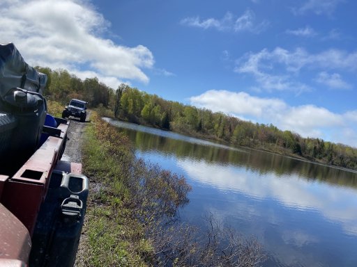
On Day 3, we left from our campsite at Ahmeek and tried to find our way to High Rock bay via trails for as much of the time as possible. The first trail that was marked "ORV" on our map turned out to be a gated snowmobile route. So we rerouted to Cliffside Dr and That was a great little detour along a lake!

IMG_2411.jpeg

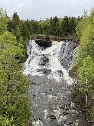
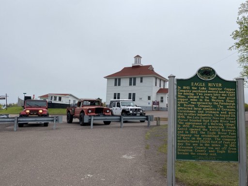
We then continued on to Eagle River to hit M-26. In this town, there was a cool waterfall and some quaint buildings. From reading some of the local historical markers, it looks like they used to manufacture explosives used for mining copper in the UP.

IMG_2412.jpeg

IMG_2413.jpeg

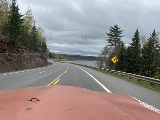
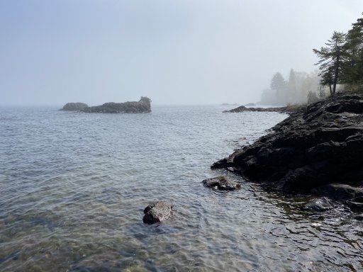
We then continued onto MI-26. This road I think is the best road I've driven in my life! It's smooth, curvy, hilly, and nestled into the coastline with spectacular views! It feels like you're in the Pacific Northwest! I need to come back with a sports car and drive it at some point. Unfortunately it's ~ 10 hours from where I live, maybe more. We stopped to look at Lake Superior and take it all in.

IMG_2426.jpeg
IMG_2427.jpeg

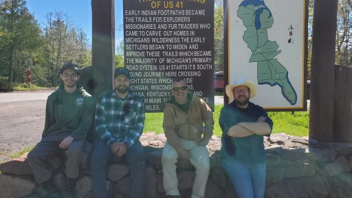
We continued on MI-26 until it connected to US-41. We drove through Copper Harbor and then found the start of the High Rock Bay route and interestingly enough, the beginning of US-41. This road apparently goes from the northernmost point of Michigan to the southernmost point of Florida following old Indian trails! I thought that was pretty crazy! It should make for a great road trip.

20220527_114946.jpeg
IMG_2428.jpeg

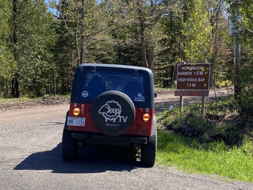
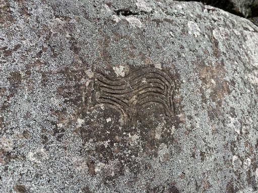
We followed the trails to High Rock bay for a little while but then took a quick detour to check out some Native American Petroglyphs. We found a bear pretty easily but I found out later, after talking to the town historian, that there was also a ship, a hand, and a scratched up fish-man.

IMG_0531.jpeg
IMG_2430.jpeg

Once we were done hunting for petroglyphs, we ventured onto High Rock Bay. It's definitely worth the trip because it's stunning and untouched! Although you should expect to see other people there camping and probably more over time. We did see that the DNR is building a pair of vault toilets at the site. That kind of disappoints me since this may encourage additional travel there. But the road to get there is definitely rough enough that anything outside of a 4x4 will likely incur body damage.

20220527_140048.jpeg
IMG_2435.jpeg
IMG_0537.jpeg

We made lunch while at the point before heading back south.
 
Last edited:
joe.schigel

Rank IV

Enthusiast III

1,212
Detroit, MI
Day 3 Part Deux

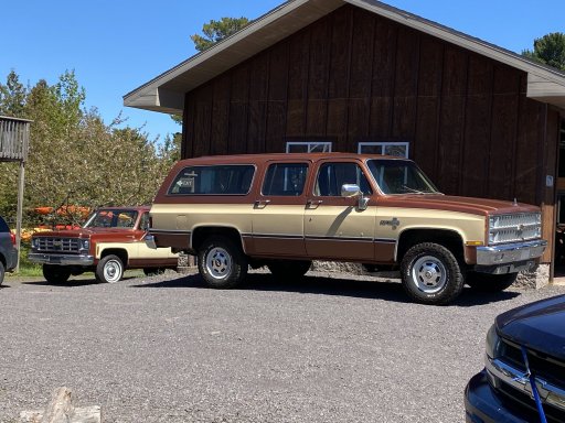
After lunch at High Rock Bay, we worked our way back down the Keweenaw Penninsula and stopped through Copper Harbor for a coffee hunt. While exploring the town, I saw these beutiful suburbans!

IMG_2439.jpeg

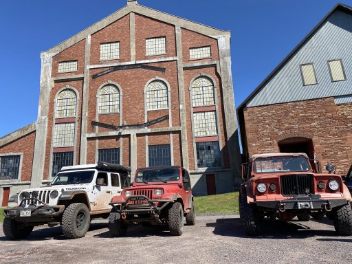
As we continued on, we stopped by the Quincy Copper Mine. We didn't get there in time to do the tour but we did get to tour the museum a bit. I never knew that so much copper mining happened in the UP. Apparently, Michigan's copper is the purest in the world and is one of the largest deposits. Also interesting, the giant hammer drills that worked used created so much dust, that it would basically kill the operator within a few years! insane! When I go back, I'm definitely going to try to take the tour.

IMG_2444.jpeg

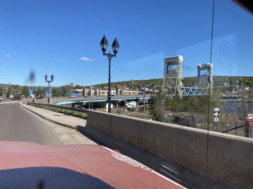
We continued on through Houghton down to L'Anse for dinner. The draw bridge in Houghton was pretty cool looking.

IMG_2456.jpeg
IMG_2457.jpeg

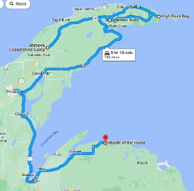
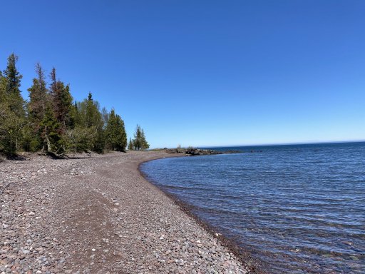
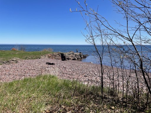
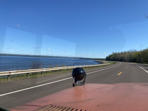
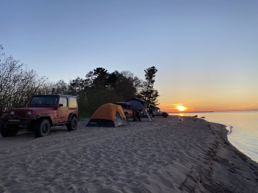
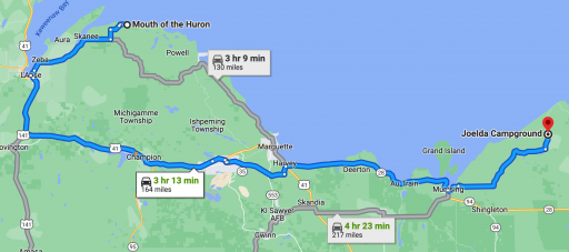
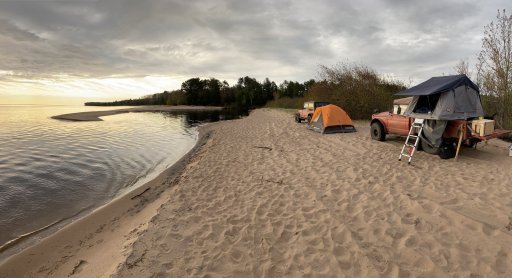
After dinner, we ventured up to the Mouth of the Huron River to camp for the night. The beach is public access and dispersed camping. We learned it's apparently popular on the weekends with the locals. but if you venture far enough down the beach, you can get far enough away from the crowds to not hear them.

IMG_2460.jpeg

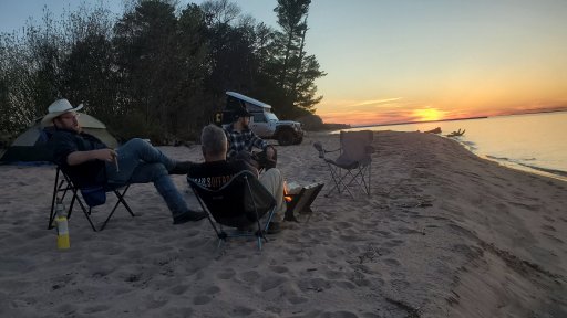
We set up camp on the beach and kicked back to enjoy the sunset around the campfire.

20220527_213541.jpeg
 

joe.schigel

Rank IV

Enthusiast III

1,212
Detroit, MI
Day 4 - more rain

1654630724197.png

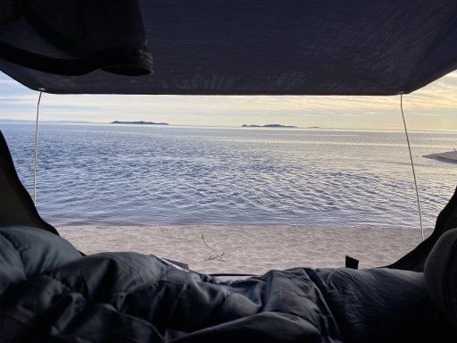
Day four opened with a great view out of the tent and a beautiful sunrise! Although, I did scare a large flock of ducks when I woke up to use the men's tree. haha. Since this was a road day, and we had some time, we doddled a bit in the morning. we made some biscuits and gravy in the dutch oven that were only slightly soggy haha. Once we were done with breakfast, we broke camp and headed out.

IMG_2463.jpeg

IMG_2466 copy.jpg

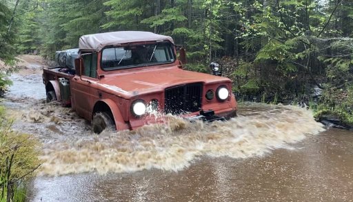
We explored the area around the mouth of the Huron but unfortunately, most of it is private land and fences off. We were trying to find a route on dirt back to the highway but we knew that was a slim chance to begin with. We did get some cool water crossing shots though!

IMG_2525.jpeg

Eventually, we ran out of time for doodlebopin and made our way to our campsite in the Pictured Rocks area. Unfortunately there was more unrelenting rain which made the drive soggy and dreary. In an ideal world, we wouldn't have been exploring the whole day and we would've gone straight to Pictured Rocks to hike and explore. But we were trying to find routes, so that's what we did.

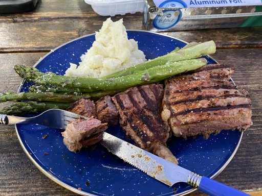
After a long and soggy drive, we made it to camp and mercifully, the rain stopped. We made camp and cooked steak, potatoes, and asparagus (my favorite meal of the trip).

IMG_2485.jpeg
IMG_2484.jpeg

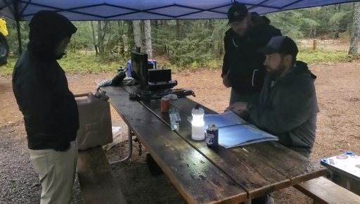
When we had our fill of food, we started to plot out the next day's trip. After finding a lot of what we thought would be trails that weren't in the morning, we figured double checking our plans was time well spent. We confirmed that most of the routes we were using were roads so they likely could fit ORV's but it was going to be a LOT of off road driving. we'd see how far we could get in the next day.

IMG_2668.jpg
 
  • Like
Reactions: DevilDodge

joe.schigel

Rank IV

Enthusiast III

1,212
Detroit, MI
Day 5 - Sightseeing the hard way

1654865524585.png

On day 5 we were going to try to stay on trails as much of the day as possible. We stuck to dirt roads and trails that were named as we figured those would be legal for us to use. We would leave from our campground in the Pictured Rocks area and head East along the coast. We originally wanted to do this tour, hit Taquamanon Falls and the Soo Locks, but we quickly realized that we bit off more than we could chew for this leg. here's how the most eventful day played out:

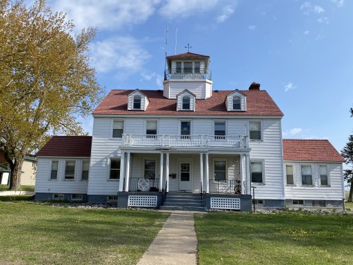
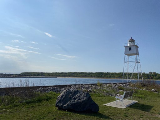
After breaking camp, we drove into the small town of Grand Marais and visited the lighthouse there. While we were there we spoke with some local fishermen who confirmed that we could get to where we wanted to go on dirt most of the time (and more importantly legally). The life saving station at Grand Marias was beautiful and it's such a remote town I'm sure it would be great to vacation in.

IMG_2492.jpeg
IMG_2491.jpeg

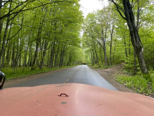
The drive from Grand Marias was cloaked in beautiful green trees! It felt like the tunnel of trees thats further south.

IMG_2493.jpeg

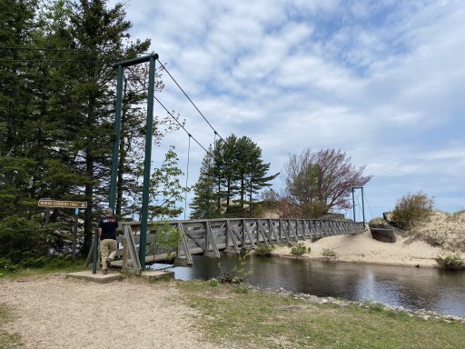
We didn't have to drive far to hit the dirt roads. Between Grand Marias and the Deer Park, it was mostly a dirt road. We aired down anyways to try to float a bit better in the sandy soil and absorb some of the whoops better. Unfortunately, I don't really have photos from this section. We were headed to Crisp Point Lighthouse but we spotted on the map the mouth of the Two Hearted River! Of course we made the detour to stop and check out the scenic spot and foot bridge.

IMG_2494.jpeg
IMG_2495.jpeg

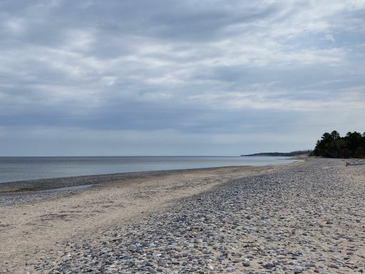
I'm always amazed at the different beaches around Michigan. This area was a mix of rock and sand and was nice and remote. There is a campground there if people want to overnight it.

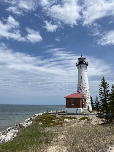
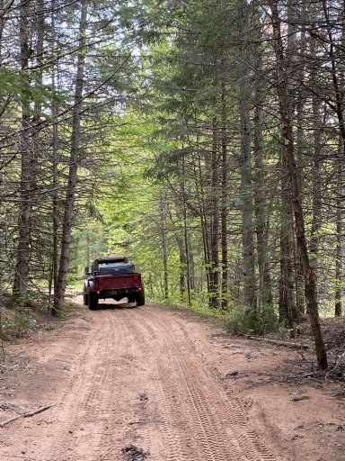
From here we followed the trails to one of my favorite lighthouses: Crisp Point. I like this one because you have to take dirt roads to get to it, it's remote, and it's the classic white brick. The roads aren't particularly challenging but they are entertaining. We did hit one section of sandy whoops that lined up perfectly with my truck's wheelbase. That was miserable and we had to slow to a crawl to smooth it out. This section was in an area that looked like a forest fire has swept through in the semi-recent past.

IMG_2500.jpeg

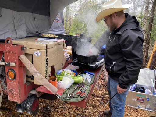
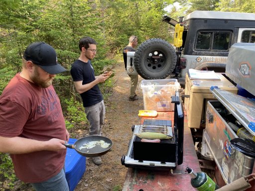
While we were at the lighthouse, we made lunch. And since we were out of deli meats, that meant a hot lunch of brats and corn!

IMG_2499.jpeg

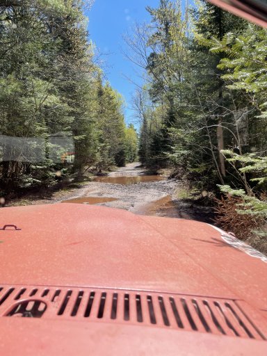
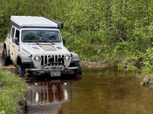
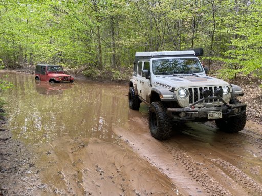
The next stop was to try to get to Whitefish point via Wildcat rd. We had to find some trails that would eventually connect to Wildcat and this is where things started to get interesting. The routes that we ventured down were apparently low laying and had lots of water. Especially since it rained so much over the past two days. The first water crossings that we found weren't too deep and didn't pose much of a problem. The problem is, you never really know how deep they are until you go through them. Especially the really long ones.

IMG_2503.jpeg

After a few crossings, we did climb back up to some dry ground for a moment. On the climb up, there was a washout that I hit I thought slowly. I could see the big step on the driver's side so I took it slow but as soon as the tire hit the ledge the steering wheel snapped out of my hands to the right. I knew immediately that I bent a tie rod. Sure enough, as I got on to straight and level ground, the steering wheel stayed pointed ~100degrees to the right to go straight... oops. But it didn't break!

IMG_2506.jpeg

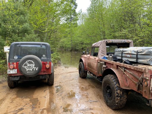
The dry ground didn't last long and we were back into water crossings again. This time getting longer and deeper. We came to one that the YJ in our group couldn't make it across. He had the smallest tires at 31" and he seemed to get hung up on the ruts / ledge. Luckily we were able to pull him out without much difficulty.

IMG_2508.jpeg

After putting away the strap, we immediately hit more water... because this was apparently a marsh. haha. It's amazing that this was a named road!

IMG_2511.jpeg

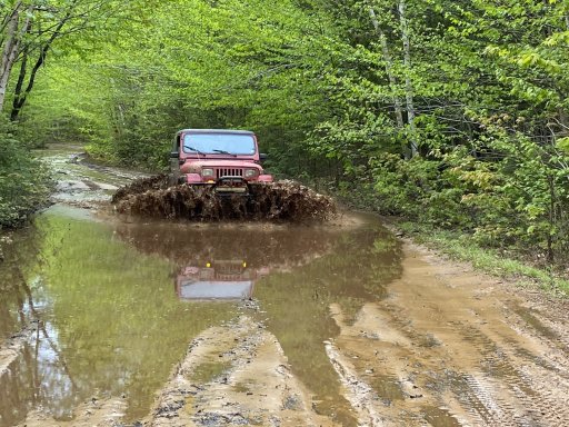
We then came upon the deepest crossing so far. This was after the past 2hours of crossing water every couple hundred feet. but we could tell this one was deep. It was at least 200' long and there was a creek that flowed across it. We pulled up and tried to gauge the depth and guess a line. We debated turning back but we knew it would take another couple hours to get back out. on top of that, there was a sign saying that this was the way we wanted to go and we could see on the GPS that we were maybe getting out of this low road and connecting to Wildcat rd. The icing on the cake was we could feel and hear a thunderstorm rolling in. And we definitely didn't want to be stuck in this low area with more water pouring in.

IMG_2512.jpg

So we ventured in... I don't have pictures or videos but this was the most tense part of the trip. As I had the tallest truck, I got to be the guinea pig with the 715. I put it in 2nd and nosed it in. I went straight down the center and after about 75' in, the nose started to drop further. This rattled me a bit and I stopped and backed up. I collected myself and resolved to press on, and try it and pray it didn't get stuck / hydrolock. I pushed back into the water and focused on the dry ground at the other end. I passed the halfway point and the water was up to the 1st body line on the doors. It was here that the truck started to slide off into a rut on the right and it got DEEP. The water at the front got about halfway up the headlights (the second body line on the door / top of fender) and it was really coming in the doors now. I gave it throttle and the truck wallowed though the mire. Mercifully, it finally started to climb up the other side and we came to a stop on the dry ground! I was trembling from adrenaline and we both shouted for joy that we made it! We opened the doors and spilled out the water from in the cab. I looked at the door side and roughly measured the water height. It was to the top of my hip which translated to ~40"!

I got on the radio and my friend behind me were now extremely apprehensive of following me along. We were debating on what to do (I definitely didn't want to go back through the water) when we could hear engines coming towards us. It was a pair of ATVs and they met me on the far side. We explained that the water was deep and they wend for it along the side. They were able to stay high enough and make it through. I apparently had found the deep line and this encourage the rest of the group. They were able to drive across on the far left and keep their intakes above the water! And we all made it without an issue!

After this, we did make it to Wildcat road after another half dozen smaller crossings. At this point, the 715 sputtered and stalled on the road. We opened the hood and couldn't find anything wrong. It was just drenched and steaming itself. We let it dry for 10min and it was good to go.

We journeyed down the trail and eventually made it to Whitefish Point. We had done ~68mi of dirt and taken the bulk of the afternoon.

IMG_2514.jpeg

After checking out the point a bit, we decided to head back to St. Ignace since we didn't have a lot of time left in the day. We would skip Taquamanon and the Soo in favor of dinner and a spot to sleep. All of the water crossings had exhausted us and we were ready for a break. So we drove the 1.5hrs into town and grabbed some mexican before calling it a night.
 

joe.schigel

Rank IV

Enthusiast III

1,212
Detroit, MI
Day 6 - the long way home

1654871690766.png

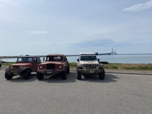
The 6th day was our road day to head back home. We had breakfast in town and then took a quick picture in front of the bridge before crossing and parting ways.
IMG_2554.jpeg
IMG_2557.jpeg

We took US-23 down the easter coast of the state. I had planned a couple sightseeing stops to break up the journey but the trip was a long one. The further south we got, the warmer it got (up to 85F). And on top of that, the bent tie rod was making the drive obnoxious. The truck was constantly wobbling from the scrubbing tire. In hindsight, we should've tried to adjust it before driving the whole way home. Oh well, it made it but now I have a severely and unevenly worn tire. it's the spare now.

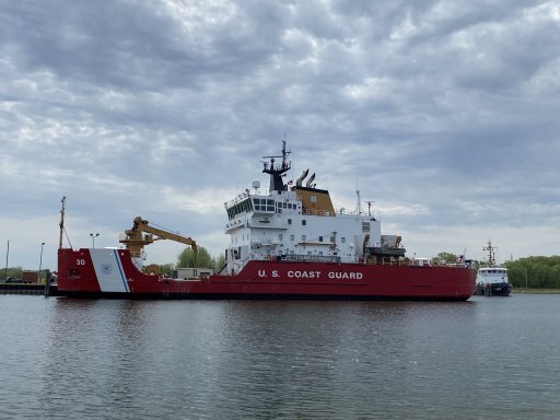
We first stopped in Cheboygan to check out the Coast Guard icebreaker. I'd never seen one before so it was cool to ogle.
IMG_2561.jpeg

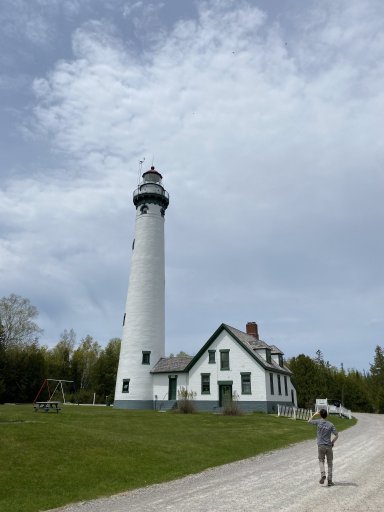
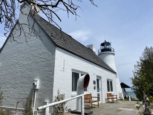
The other major stop we made was in Presque Isle. This was a beautiful little harbor and had the tallest lighthouse that you can climb in Michigan! The "new" llight was built in 1870 and the "old" light was from 1840. We explored the grounds and went up into the light.

IMG_2563.jpeg

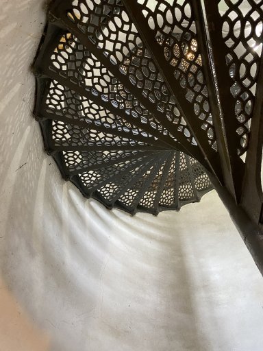
The climb to the top was dizzying and my legs definitely felt it! But the stair were beautiful.

IMG_2567.jpeg

The old light was much smaller and further into the harbor. This one had been basically fully rebuilt in the early 2000's IIRC.

IMG_2571.jpeg

After exploring the lights, we grabbed a alate lunch at the local deli. And from here, we cannonballed our way back home.

All in all, it was a great trip and we were amazed with the variety of terrain and the scale of the UP! We learned a lot and we have a much better idea of where we want to go in the future. And arguably more importantly, how much dirt is realistic for any given day.

We'll Run this again in Sept and you can follow along with us @backyardoverlandtour on Instagram.

Thanks for reading!
 

DevilDodge

Rank IV

Advocate I

1,135
Altoona, Pennsylvania, USA
First Name
David
Last Name
Spencer
Thanks for sharing your trip. Your build is my favorite (love those 8.0l V10s)

I enjoyed how your group rolled with the punches and made the best of all situations.

Good stuff. Anxious to see more.