Enthusiast II
- 1,178
- First Name
- Letyce
- Last Name
- Moore
- Member #
-
40291
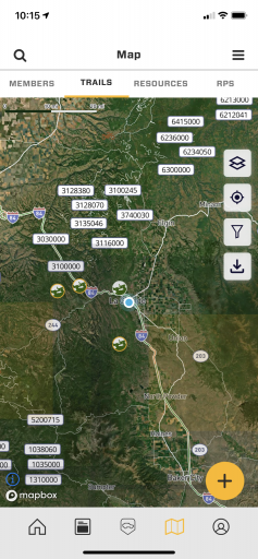
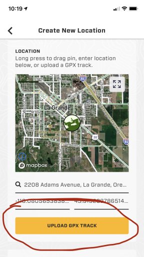
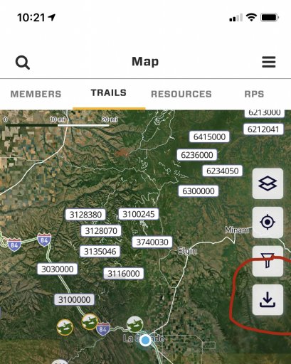
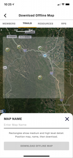
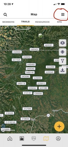
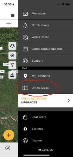
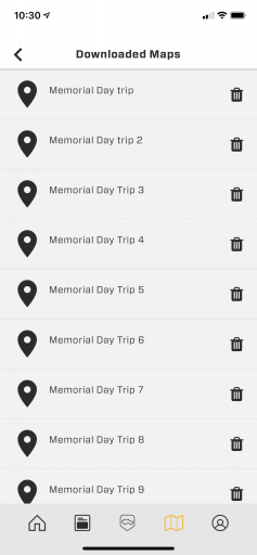
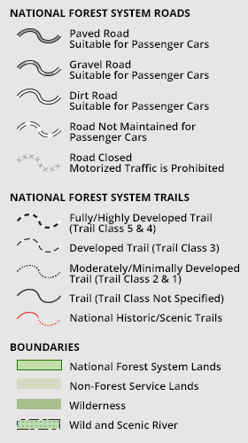
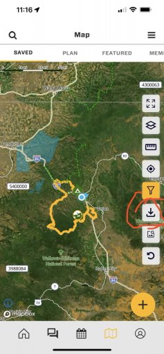
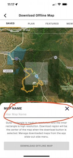
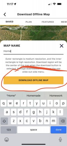
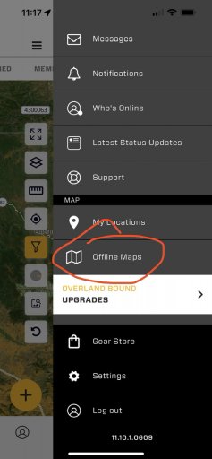
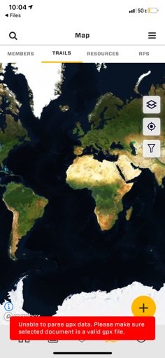
I’m trying to find trails through Yellowstone and I’m having trouble reading the map. I saved a gpx file of a trail from the wikiloc app but when I open it I am brought to OB maps with an error. Any help on getting trail maps so I can view them offline in case of no service.
Attachments
-
 37.9 KB Views: 58