

Member I
What a amazing first meet today. Awesome turn out. It was great to meet everyone today. Let do this again soon and plan a weekend trip


 l
l
l
Member I
l
Advocate I
Member I
8 rigs. We hung out for 3 hours. Great time was had by allHow did the meet go? Still interested but priorities took over this morning. B/RGDS Pete

Off-Road Ranger I
17584
Sorry to hear your kid is not well, I hope everything works out. We had a great first meet, and look forward to seeing you at the next one!Regrets folks. In hospital with sick kid until 0200. Hopefully make it to next meet.
Off-Road Ranger I
17584
This is a beautiful setup. Everything so clean and carefully implemented!I'll Be there in my 2010 red Ford Ranger with a black cap! See you all in the am :)
View attachment 91423
Off-Road Ranger I
17584
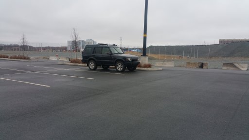
I can't wait to see this setup in action!1st one hereView attachment 91466
Off-Road Ranger I
17584
Member I
No plans as of yet. Something to think aboutSo, what's everyone doing next weekend? Who's up for a campfire?
That could work for me. Will have to check in later in the week.So, what's everyone doing next weekend? Who's up for a campfire?
Off-Road Ranger I
17584


Enthusiast I
Off-Road Ranger I
17584
Hi,Is your antenna a 2M antenna? I'm looking for a 2M fiberglass whip to ad to my Jeep.
Enthusiast I
Thanks for the info, it looked like a longer antenna on the photo. I'll try to make it up to one of your meets.Hi,
That is a CB antenna, so I guess probably 1/4 of 11 metres? I don't have an Amateur license yet, but I'd really like to run a 6 metre. Of course there would have to be a 2 metre as well since I probably only know one other person who'd roll with a mobile 6 metre so the conversation would be a little on the lean side.
Off-Road Ranger I
17584
Member I
Advocate I
Off-Road Ranger I
17584
Sorry to hear you are set back. Stay tuned, there will be many more trips when are you feeling up to it!Sounds like a time. Unfortunately, I'd be a liability in the woods right now. I have a hard time hobbling to the bathroom at the moment.
Off-Road Ranger I
17584
We are rolling. Might be able to raise us on CH 19 if you are close. I'll try to check in here again before we loose cell coverage.I'm going to say yes. Hopefully the weather corporates


