Explorer I
Well that sucks that you all did not get notification :( Notifications on OB are problematic...
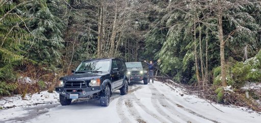
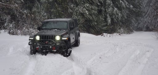
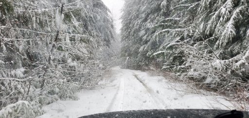
You all missed out! @Ties and I had a FANTASTIC time - we saw the old campsite, ventured up that spur road that took off near the campsite and headed up into the hills and found some pretty good snow and found a bunch of nice looking new camp spots. The downside is that even on an inclement February day the trail was full of cars. Maybe its sane at night on a Wednesday when fireballs and covid are falling from the sky ;)
Attached some pics and the GPX file from our adventure (no gates!)
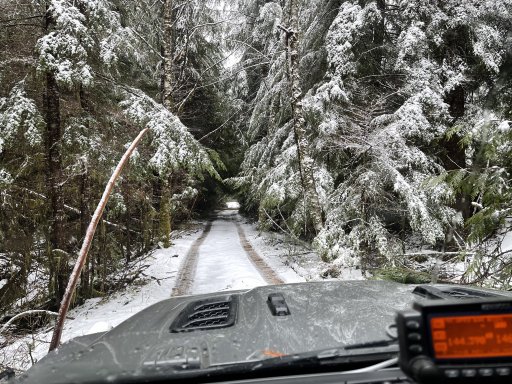
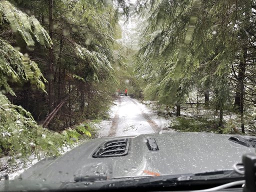
Snow! Within about a mile it went from rain and no snow to 8 inches and dumping.
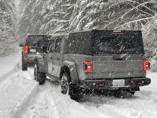
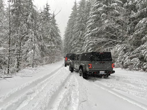
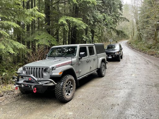
Stopped before the first bridge and on the second bridge
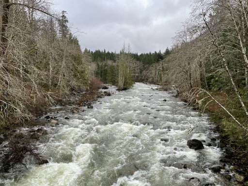
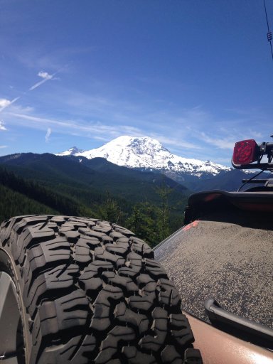
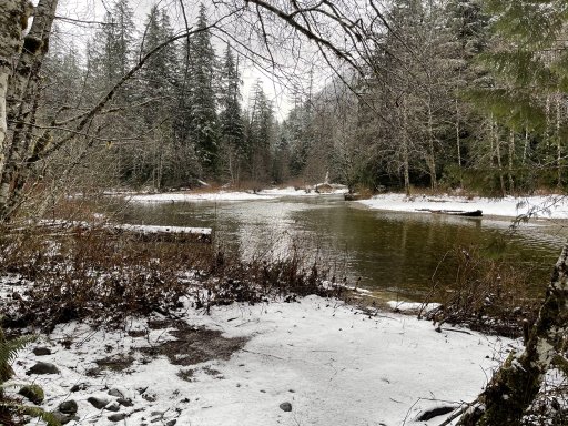
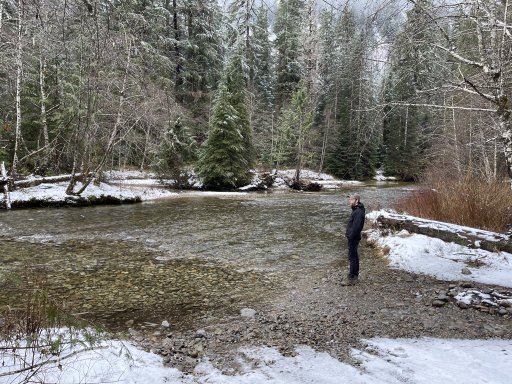
The "old" near and dear camp spot at a different time of year
Spur road (hope @Ties has some pics) - pretty rough and pinstripe heaven. Spend a good portion driving with two wheels in a creek and the other two up higher on solid ground. Over a couple nerve wracking small washouts leading over a cliff of doom. Turned around at a "wide spot". Rougher stuff.
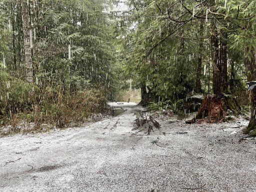
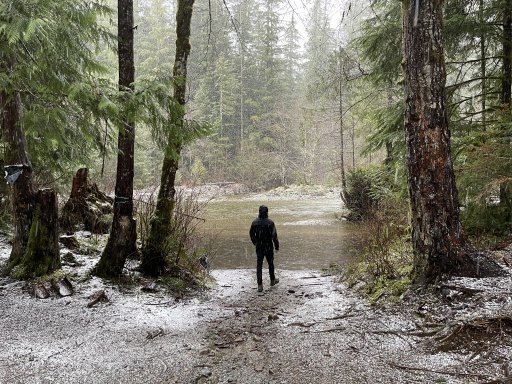
"New" camp spots on the loop. In GPX file. Almost a pano :)
GPX viewer
You all missed out! @Ties and I had a FANTASTIC time - we saw the old campsite, ventured up that spur road that took off near the campsite and headed up into the hills and found some pretty good snow and found a bunch of nice looking new camp spots. The downside is that even on an inclement February day the trail was full of cars. Maybe its sane at night on a Wednesday when fireballs and covid are falling from the sky ;)
Attached some pics and the GPX file from our adventure (no gates!)
Snow! Within about a mile it went from rain and no snow to 8 inches and dumping.


Stopped before the first bridge and on the second bridge


The "old" near and dear camp spot at a different time of year


Spur road (hope @Ties has some pics) - pretty rough and pinstripe heaven. Spend a good portion driving with two wheels in a creek and the other two up higher on solid ground. Over a couple nerve wracking small washouts leading over a cliff of doom. Turned around at a "wide spot". Rougher stuff.


"New" camp spots on the loop. In GPX file. Almost a pano :)


GPX viewer
Attachments
-
435.8 KB Views: 41


