US West East Bay OB trip Report- Death Valley Nov. 4-7, 2021

  • HTML tutorial

RAMf1

Rank IV
Launch Member

Enthusiast III

1,116
Castro Valley, Alameda County, California, United States
First Name
Russell
Last Name
Miller
Member #

22447

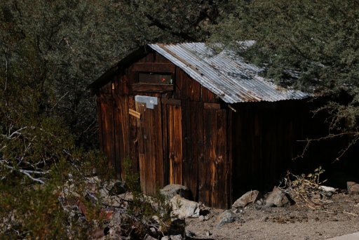
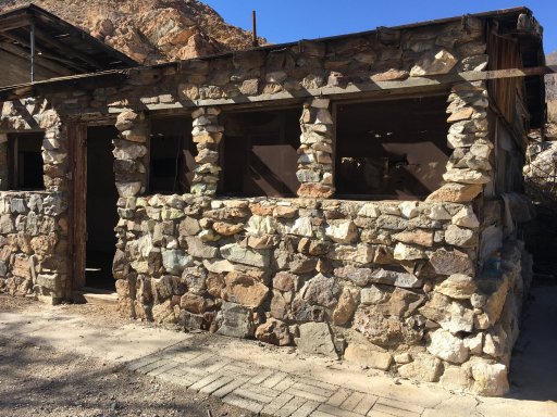
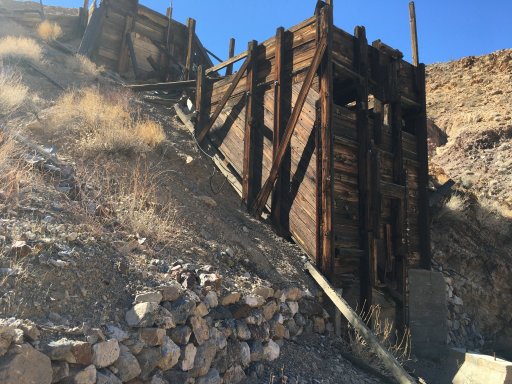
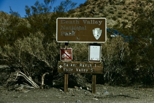
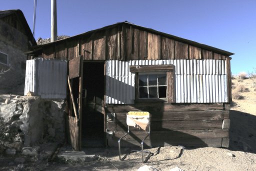
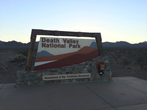
Since so many members of the East Bay Overland Bound Group wanted to go to Death Valley, the trip had to be broken up into two groups. This is report from the group led by PapaDave...

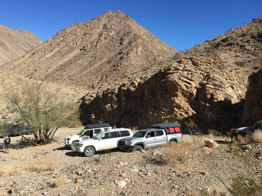
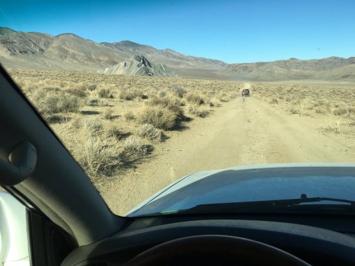
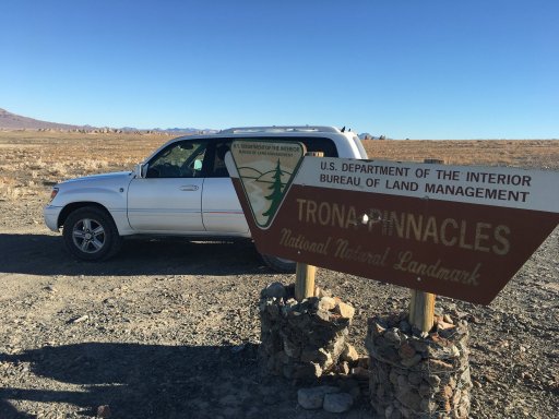
The adventure started on Thursday at 9 AM from Trona Pinnacles so the group assembled Wednesday night (11/03) and spent the night in the bowl amongst the Pinnacles.
126C175D-E60B-4F8C-B2B4-AB36697701ED.jpeg

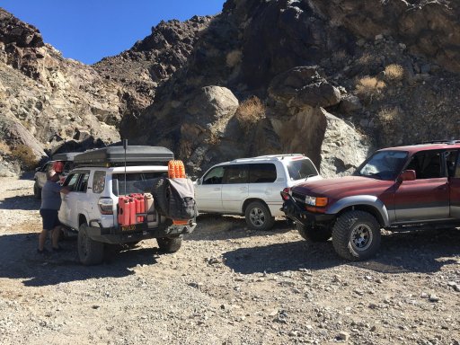
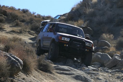
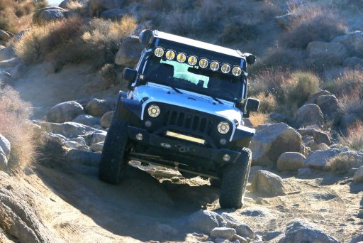
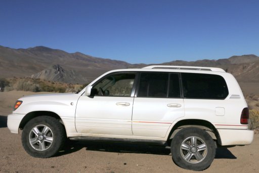
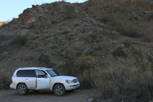
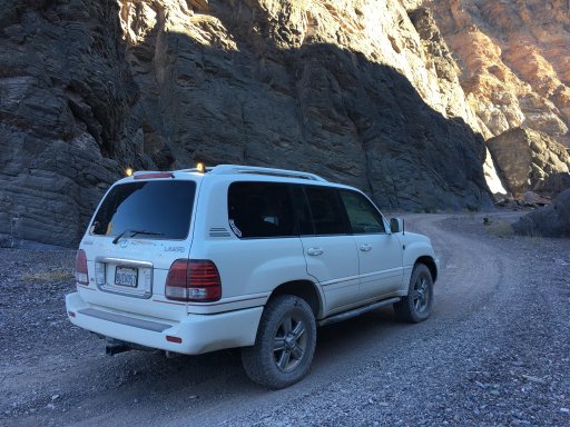
Bobby (Jeep) and Alfredo (Land Cruiser) arrived just before I did in the LX470...

3376A638-0644-4BDB-B647-C30019906E9C.jpeg

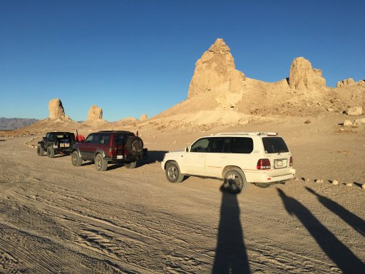
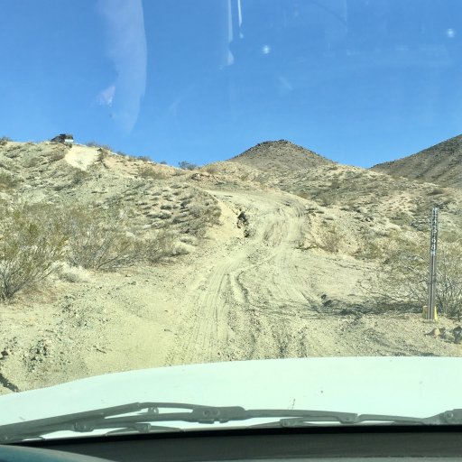
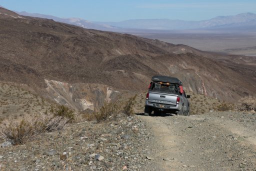
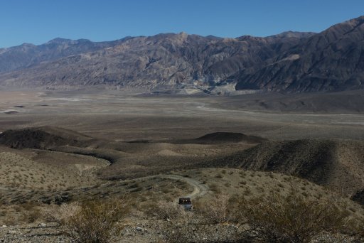
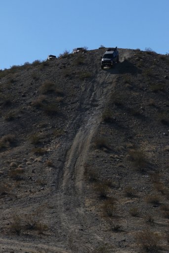
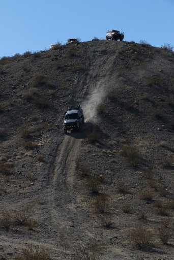
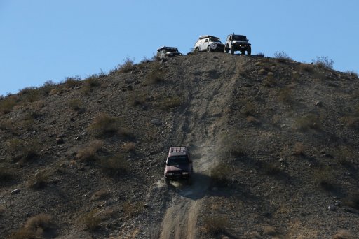
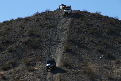
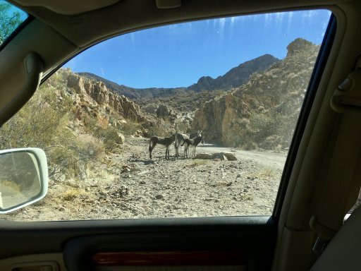
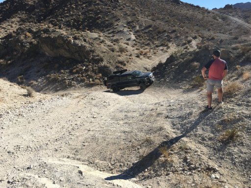
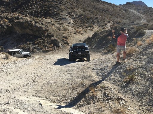
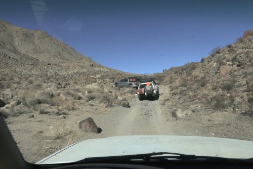
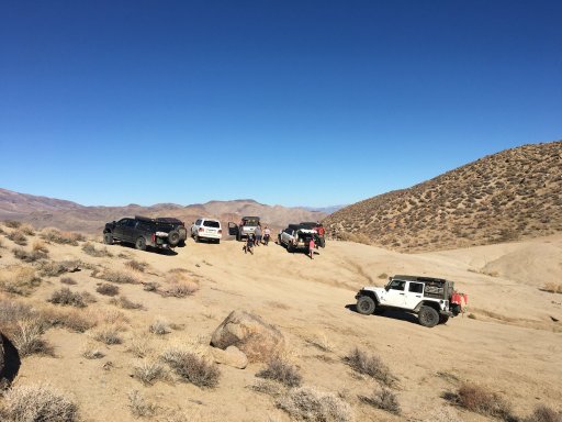
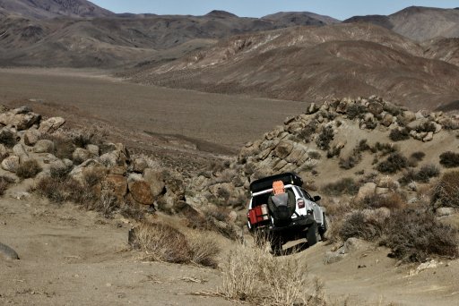
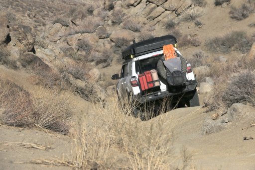
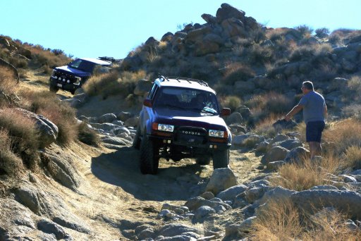
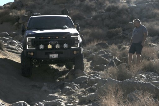
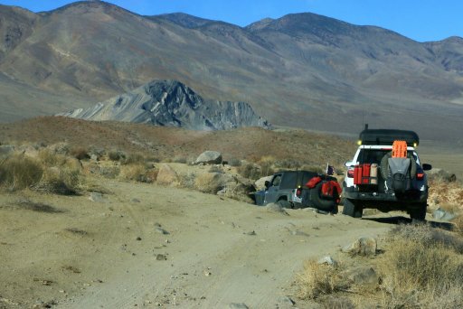
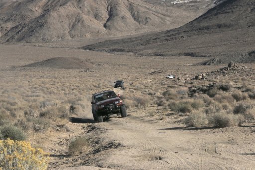
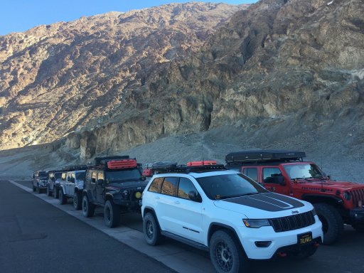
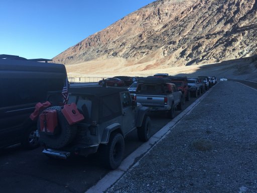
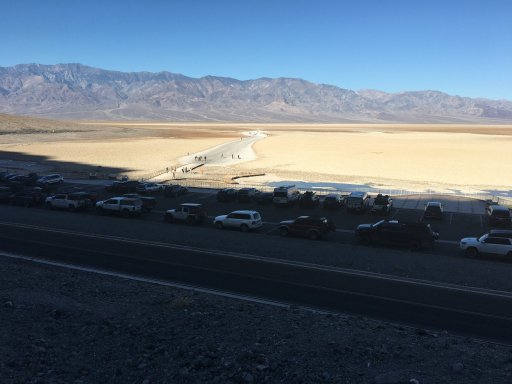
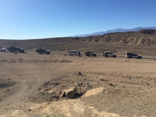
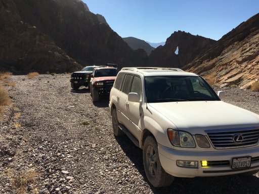
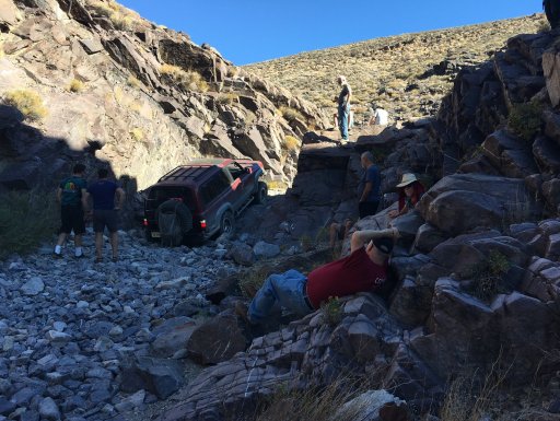
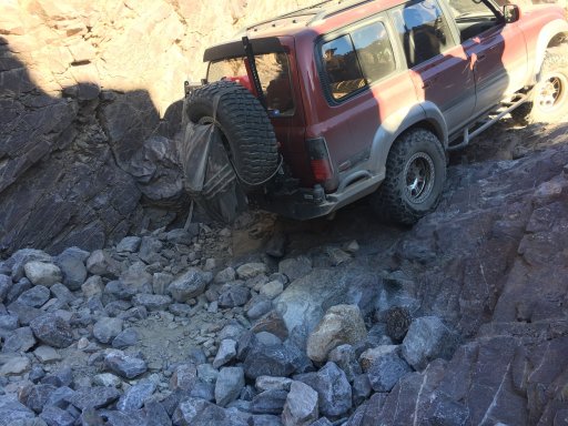
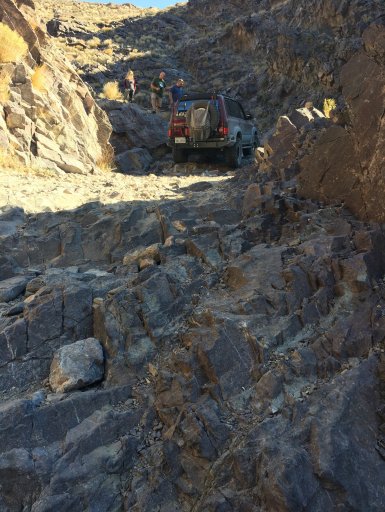
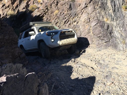
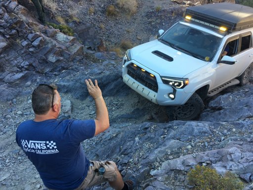
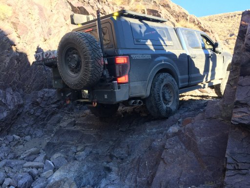
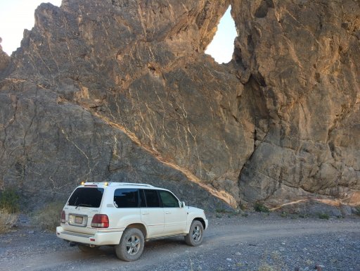
Seven vehicles in total made the trip. All the vehicles were different with differing capabilities but everyone made it and we all enjoyed the trip immensely.
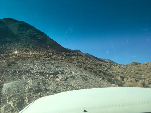
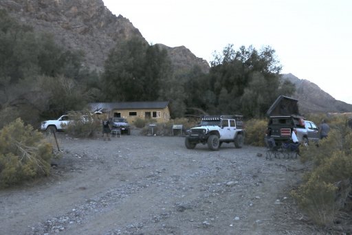
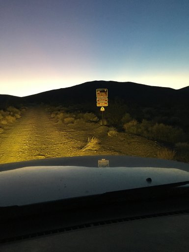
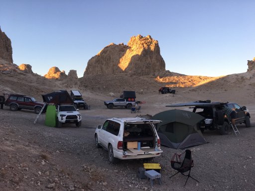
The photo below is waking up on Thursday Morning...

383302AB-E393-46A1-BEA0-0684C7D6D04C.jpeg
 

RAMf1

Rank IV
Launch Member

Enthusiast III

1,116
Castro Valley, Alameda County, California, United States
First Name
Russell
Last Name
Miller
Member #

22447

After driving through the wonderful company town of Trona, we made a right turn on "Hwy 82" and continued onto Stockwell Mine Road over the Slate Range taking the backroads way into Goler Canyon.
87A701E9-BF47-4649-92A5-219A8C7EBB5B_1_201_a.jpeg
EB83C048-2B96-4FAA-915E-ADCDC7B5DA21.jpeg
Absolutely epic views...
D2AD5B68-411F-4D1B-9D68-4129F7676197.JPG
Yes... It is steeper than it looks!
FD87879C-9AA1-4126-8546-67904DC098B1.JPG ADF63E39-0A22-4324-ABF5-190DC995D4D3.JPG
7C5F8165-F28F-446A-9D30-A875586AA4EE.JPG BCDB342F-5B89-495B-A277-916A3B9F70C7.jpeg
We made it to the other side and continued on to Goler Wash where we stopped at the entrance for lunch...
6E716A6A-358A-48C6-8D62-6C805B825CEF.jpeg
 

RAMf1

Rank IV
Launch Member

Enthusiast III

1,116
Castro Valley, Alameda County, California, United States
First Name
Russell
Last Name
Miller
Member #

22447

Goler Wash Road was easier than I remembered. We stopped only a few times for the Newman's Cabin and the ruins at Lotus Mine.
7764D2FC-5E52-492F-BB7C-FBD8DC5BD85C.jpeg
A7B6F3AB-BA9A-42E0-BE92-6924892A0E66.jpeg
E61B1258-5816-446B-A609-2D066D0A0013.jpegE3FAA60B-EC84-4DB3-963F-83800475F16B.jpeg
34BF897E-9536-43D2-B4DC-97C075AA97CC_1_201_a.jpeg
And there were burros...
B3747FD3-1DF4-4006-9BF2-8769FCCA7C3E_1_201_a.jpeg
And we stopped at what is left of the infamous Barker Ranch...
A128F1E8-E305-46BF-9FD4-7B1A8CFA4DD2_1_201_a.jpeg
And from there... on towards Mengel Pass...
 
Last edited:

RAMf1

Rank IV
Launch Member

Enthusiast III

1,116
Castro Valley, Alameda County, California, United States
First Name
Russell
Last Name
Miller
Member #

22447

Going up and over Mengel Pass from Goler Canyon consists of some steep and tricky uphill sections and tight, slow going rock garden sections on the way down into Butte Valley.
The first major obstacle was the V-Notch... Coming around the corner, the wall looked nearly impassable but Dave said just line-up your vehicle centered over the V-notch and drive right up. His guidance worked to perfection as everyone just drove right up... with some excellent spotting assistance from Jeff as you really couldn't see where you were going... Here Sergio drives his massive and capable Tremor up...
68352DF8-F351-4F6E-B772-E97A806DC13A.jpeg
52F44186-C5CF-49EA-8C56-EA79008376CC.jpeg
DB023226-6582-47BA-89A3-8DC36D45F6C6_1_201_a.jpeg
Photo Op at the top before the descent into the rock garden.
0895BD02-6090-493C-B1E1-CCE566E0D175.jpeg
874D9E1B-89B4-4FF0-B89D-BEFD83898A0A_1_201_a.jpeg
I followed Jeff down since his 4Runner was the most similar to my Lexus LX470... Yeah Right...
BAC05709-DEAC-494B-90C7-D74F97E31E2F_1_201_a.jpeg
Alfredo working his way through a rough section
296B806E-62D7-4117-867B-D27CBACEF042_1_201_a.jpeg
Dave spotting to avoid the big rock in the way... My door skin came within an inch of it because of the off camber lean.
0B6FC47F-AD01-44F1-A363-C2AFAE8FAC9C_1_201_a.jpeg
Of course, the more capable (by that I mean larger!) vehicle could just drive over the obsticle!


61C52078-DC7B-446C-909B-0AE03010FF96_1_201_a.jpeg
Greg made it look easy in his 4-door Jeep Rubicon.
AD175777-1B2E-4CB0-8470-C8B67DAABCFA_1_201_a.jpeg
And on towards magnificent Striped Butte!
F390D4B4-9276-41CF-B4EB-D3409EB371C8_1_201_a.jpeg
 

RAMf1

Rank IV
Launch Member

Enthusiast III

1,116
Castro Valley, Alameda County, California, United States
First Name
Russell
Last Name
Miller
Member #

22447

40D5329E-7456-4E9E-90EA-1DC43E183DF8_1_201_a.jpeg
Still some fun sections to go before we stopped at Russell's Camp...
EA04938D-1DBB-4E9D-AE63-98663F72B0A6.jpeg
30A980D8-F2AF-4995-BE1E-FE7B8A9E596F_1_201_a.jpeg
077003D0-8049-4AEC-88D6-3CA07ADCC4CD_1_201_a.jpeg
FF133E55-A4DE-46ED-B3F3-6F56AB97585B.jpeg
The flag was "UP" at the Geologist's Cabin so that meant it was occupied... You can stay at these cabins and use them as a base camp. Visitors often leave provisions or take items they need depending on their situation at the time.
We started the long descent towards Warm Springs Camp where we will be spending our first night in Death Valley.
FF5CC761-26BE-4529-951D-05E1CF262165.jpeg
 

DocTaco

Rank V
Member
Investor

Enthusiast III

1,626
Modesto
First Name
Greg
Last Name
Maston
Member #

10434

Ham/GMRS Callsign
KM6ZZE
Awesome write up Russ. Thank you. I really enjoyed your sharing of your Death Valley knowledge. The first picture is of our Trail Guide and the second picture is of our Trail Boss.
 

Attachments

Last edited:
  • Like
Reactions: Jane and Sergio

RAMf1

Rank IV
Launch Member

Enthusiast III

1,116
Castro Valley, Alameda County, California, United States
First Name
Russell
Last Name
Miller
Member #

22447

Friday was going to be a long day so after a nice night in Warm Springs, we broke camp early and bombed down the 14 miles of Warm Springs Canyon Road to Hwy. 190 where we aired up. We headed North along the East side of Death Valley on paved Hwy. 190 the 20 plus miles to Badwater where we met up with he second group from the East Bay led by Armin.
3B94D33B-0410-490D-8485-A87A378B8B55.jpeg
3584B834-D20D-492A-AC7A-4C47B21D0A80.jpeg
See if you can spot our group... I've walked out into Badwater Basin many times so this time I decided to hike up the hill to the little slot canyon visible from the road to capture this photo...
AC33AABF-D712-4A7E-84D7-A34D6E853A63.jpeg
1269985C-1E6C-41ED-BAFE-45C2FD6CB75D.jpeg 4CD46405-8690-4D62-93B8-0C6076476C50.jpeg
From there we headed further North and did the quick loop through Artist's Pallet. The mid-day light was a little harsh... The colors pop quite a bit more in the late afternoon.
6B3625BA-9763-438C-834F-143606115D3E.jpeg
We regrouped and headed to Furnace Creek for lunch...
94C0B488-75F0-4752-B23E-2D2FF85E87BB.jpeg
 

D.I.R.T.

Rank III
Member

Traveler III

498
Cerritos, CA, USA
First Name
Daniel
Last Name
Freeh
Member #

28749

Looks like you guys had a great trip too! The photos are nice. I actually saw you guys out there for a bit too. I was pulling out of the Ranch and ended up behind your group following the Ram…. Then I pulled off into Golden Canyon. It was fun riding with you guys for the 2.5-3 miles!! I’ll have to join you guys for your next trip out there. It was my first, and it was a blast !!
 

AlexAtWagan

Rank VI
Investor

Off-Road Ranger I

3,865
Fremont, CA, USA
First Name
Alex
Last Name
Hsu
Member #

19040

Ham/GMRS Callsign
KO6AVD
Looks like it was an awesome trip! Bummer I missed. I will have to make it out with you guys one of these days.
 
  • Like
Reactions: er waddell

RAMf1

Rank IV
Launch Member

Enthusiast III

1,116
Castro Valley, Alameda County, California, United States
First Name
Russell
Last Name
Miller
Member #

22447

Lunch at Furnace Creek was nice... Most of us sat at the picnic benches in the shade at the Borax Museum. This outside museum has some nice artifacts to see, including this Death Valley Railroad locomotive.
A372B173-6CFA-4098-8971-F1FD0A1D4914_1_201_a.jpeg
We made a quick stop after lunch at Zabriski Point to take in the view dominated by Manly Beacon.
AA4DEB30-CD04-45F3-88C6-7A7AE9035716.jpeg
From there, we back-tracked a bit, aired down and headed up popular Echo Canyon. We only stopped once at Eye of the Needle before getting to the Dry Falls...
1AD71B64-473B-4A76-9CE7-ADC09B401DA1.JPG
We saw many Jeeps heading down Echo Canyon... All were dejected saying the falls were impassable. When we arrived there was a small crown eying the falls and enjoying the attempts. Both Greg and Bobby drove up the falls with what seemed like very little effort as they picked the perfect line. The other vehicles had a bit more trouble... Here, Alfredo starts his attempt.
94AEAB90-0ADA-4EA9-8225-50648D7BD051.JPG
After some expert spotting he was able to make it up...
383FF316-0C05-4AD6-B696-4FAC8800A334.jpeg

C407D568-4F6E-4971-9F47-CCA1685C8308.JPG
Next was Jeff's turn...
32EC357D-185D-4A14-8AD7-5A43F458CCC5.jpeg
95408647-3E9F-4DBD-827B-16AB4DBA6587.JPG
Sergio made it up next...
56AAB443-02A7-48A5-ABEF-CFDDBE5B10F5.JPG
At this point, I decided the waterfall was a bit too much for my LX470 with its 32" tires. Even though I was assured by everyone in the group that they could get me up the falls, I decided to turn around and head back down Echo Canyon to meet up with both groups later at the Chloride City Townsite... Someplace I've never been...

I stopped for a few photos on the way down Echo Canyon and after airing up headed back into Furnace Creek for some information gathering at the Visitor's Center and enough gas to make sure I can make it to Beatty, NV since I planned on taking the dirt road off 190 to Chloride City. It was at the Visitor's Center that I picked up the great news that the road to the Racetrack had gotten so bad that the road crew had graded the road this week. I also received the bad news that our planned route along Hidden Valley Road was deemed impassable because of a half-mile long, 4-foot deep silty sand deposit covering a section of the road. We would have to take another way down from the Racetrack...
378F1376-128D-4917-ACAA-6129585DACA5.jpeg
2FF0CEF6-D700-41C6-A5F3-25A76CC62AB9.JPG
28862BD3-A289-450E-909B-C7A8E54132EB.jpeg DFFC6AA3-7DB5-4253-A85B-4A3244B9E39C.jpeg
 
Last edited:

RAMf1

Rank IV
Launch Member

Enthusiast III

1,116
Castro Valley, Alameda County, California, United States
First Name
Russell
Last Name
Miller
Member #

22447

I was determined to make it to Chloride City even though I knew it would be dark when I got there. The drive from 190 was lonely... well except for a cluster of Burros blocking the road at one point. Even though I had a couple of maps, finding the road was difficult since it was unmarked and after driving quite a ways I came across this reassuring sign... at least I think I was heading the right direction. I had extra motivation... Not only was I meeting up with both of the East Bay groups, Sergio was going to prepare Glazed Pork Chops with Apples... I wasn't going to miss that!
39115C84-0E86-4B48-90E6-E05238FE8AA2.JPG DD835EF6-B8B9-4E8F-9E52-CD513A792D00.JPG
It was an amazing sight seeing a line of rigs with their bright lights climbing the last rough section of road up to Chloride City. When I finally made it up, the entire area was filled with rigs and lights... It was such a wonderful sight! I din't take any photos because it was dark and I was hungry...
Well, except for this one...
F9055ECF-0600-4555-96B5-1B2CB771E719.jpeg
A group of people got up way early the next morning to drive to the top of the Chloride Cliffs to catch a spectacular sunrise. I hope someone from that group posts some photos...
Our group headed out at sunrise so we could gas up in Beatty before heading back into Death Valley via one of my favorite drives.... Titus Canyon.
First we stopped off for a quick visit to the Ghost Town of Rhyolite.
346F5941-4E30-41D3-B766-4B406F84BB8C.JPG
4BC43F04-4ED6-4B6B-BCC6-93730F43B332.jpeg
96A0865B-DBD0-41E0-A3FF-39399FC9EC4A.jpeg
After some quick photos we headed down the road to the entrance to the spectacular Titus Canyon...