Influencer II
Just got back from a 3 week Yukon/NWT run up the Dempster highway to Tuktoyaktuk. Got in some decent hikes while we were up there. No mechanical issues, flat tires, wild life problems or significant incidents. All in all was a good run, and would highly recommend. Way less mosquitoes than I had expected.
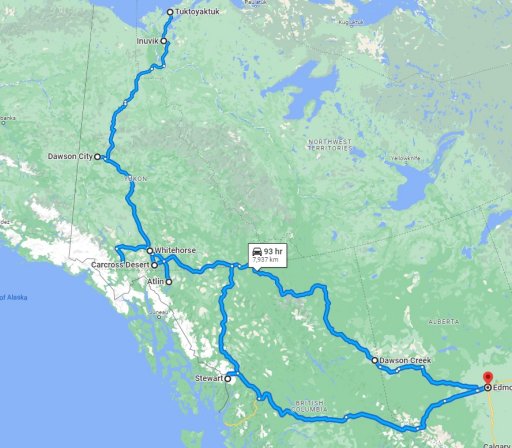
Basic trip map - Edmonton-Dawson Creek-Liard - Atlin - Carcross - Whitehorse - Dawson City - Tombstone Territorial Park - Inuvik - Tuktoyaktuk - Kluane National Park - Highway 37 back to Stewart - Back to Edmonton
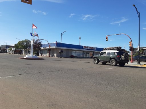
Mile "0" of the Alaska Highway in Dawson Creek
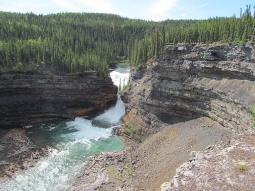
Sikanni Chief Falls
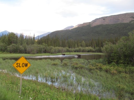
pair of road mosse getting a snack
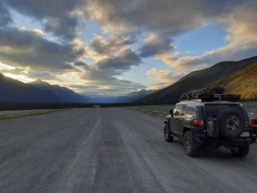
Not exactly sunset, but about as close as we got
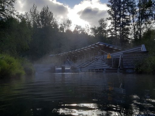
Liard hotsprings, absolutely the worst mosquitoes of the trip by far, nice otherwise though
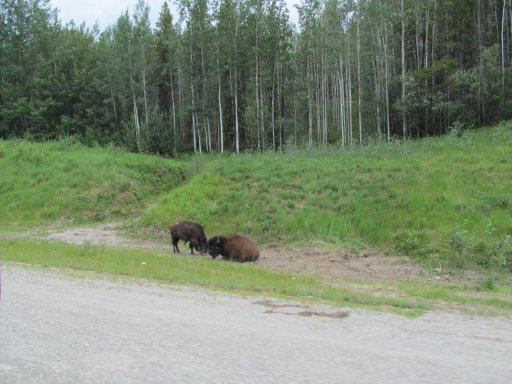
a couple road bison north of Liard
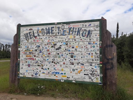
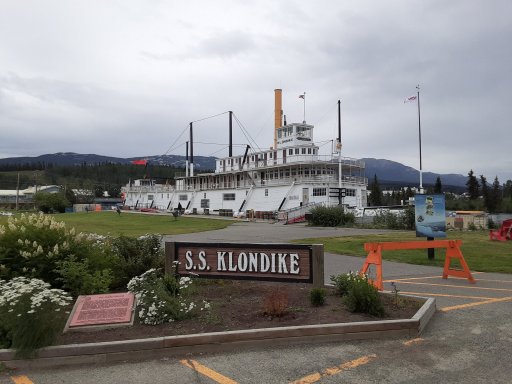
Pretty self explanatory.
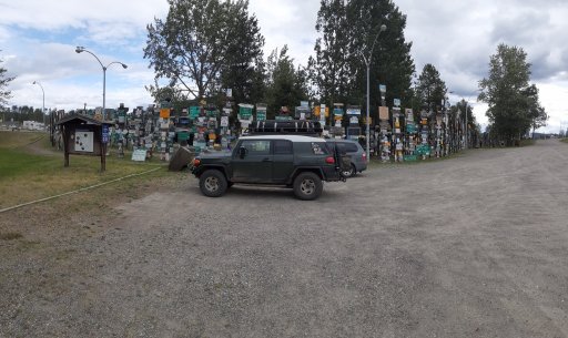
Signpost forest
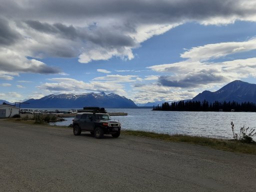
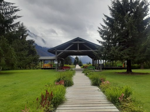
Atlin
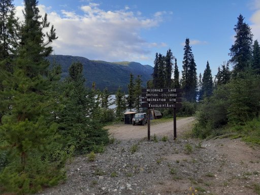
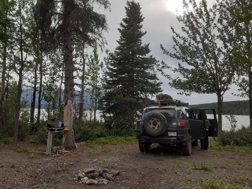
Atlin area rec site
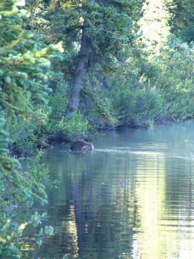
big ol beaver
pic
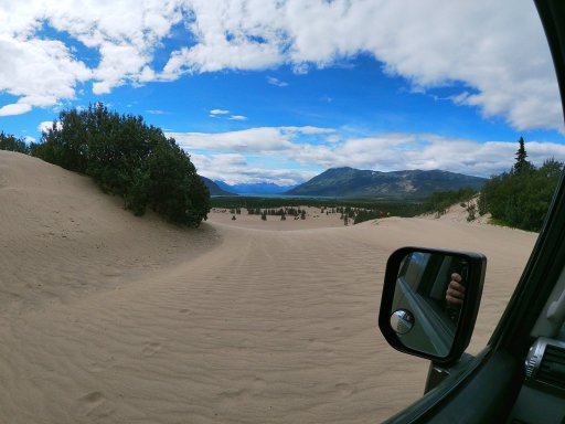
Did some dune running at the Carcross Desert
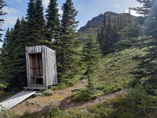
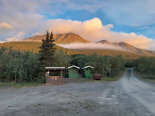
Outhouse with a view up Sam McGee Trail
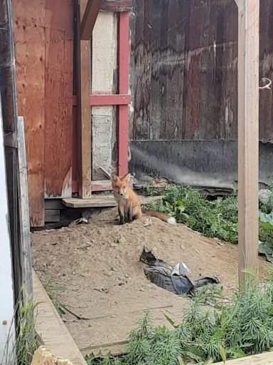
Whitehorse fox
pic
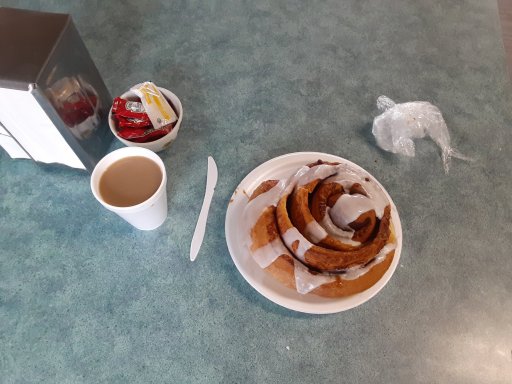
Had to refuel with a large Cinnamon bun at Braeburn Lodge
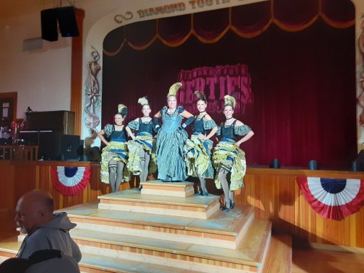
Stopped in at Diamond Tooth Gerties for a show(Dawson City)
headin north
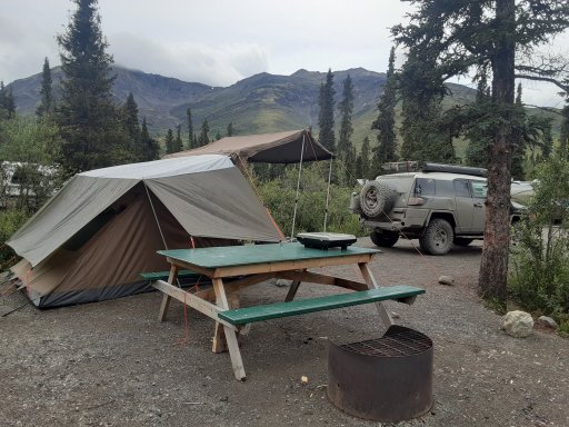
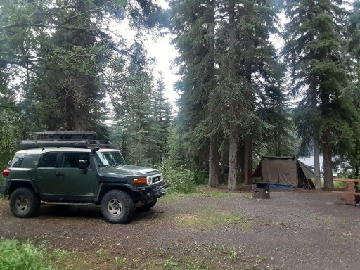
Tombstone Campsite
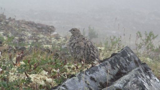
Ptarmagin, was with 4 chicks
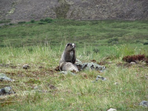
Marmot
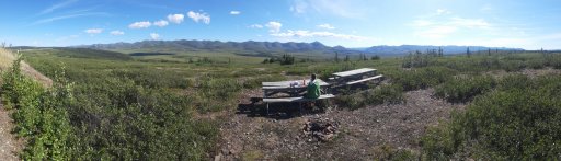
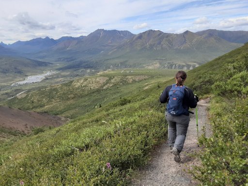
Overnight hike into Tobstone Territorial Park
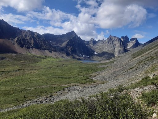
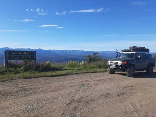
Ogilvie Ridge,
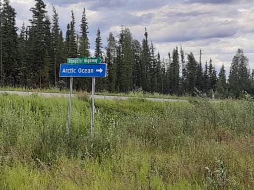
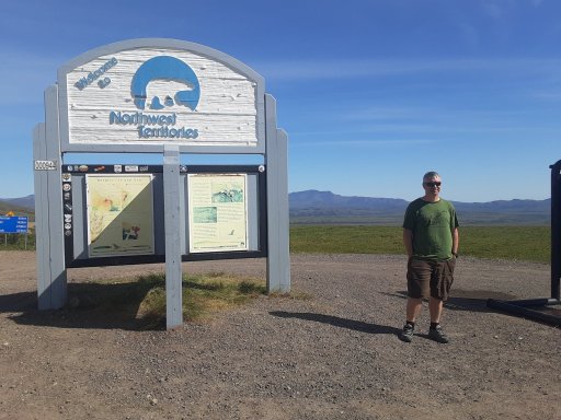
View from the start of the Arctic Circle
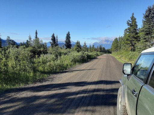
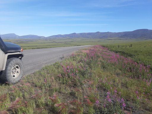
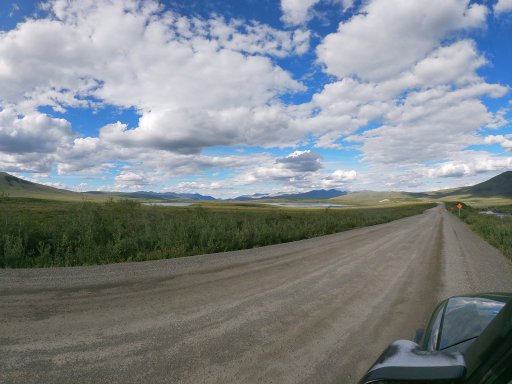
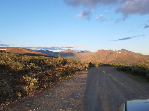
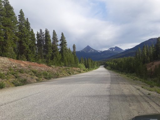
Random road pic
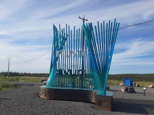
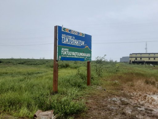
Gettin' closer
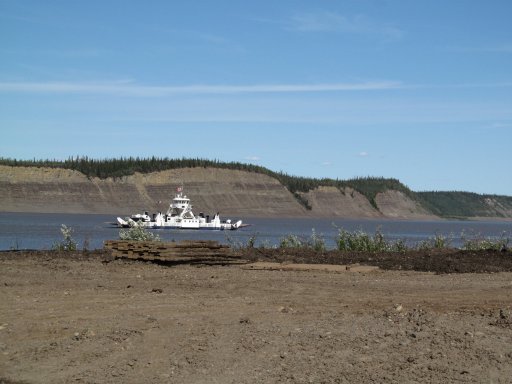
waitin' for the ferry at Ft McPherson
Random road pic
so close!
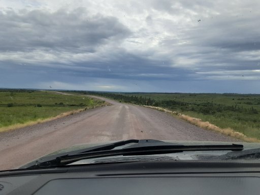
the road to Tuk
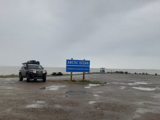
Made it, time to head south.
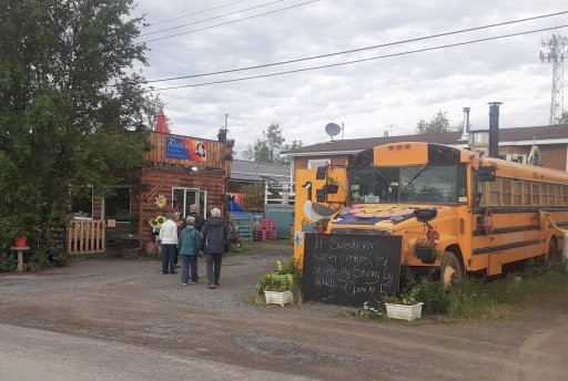
Back to Inuvik for dinner at Alestine's
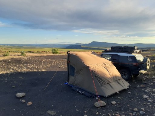
roadside campsite
Back to Tombstone to hike Goldensides trail
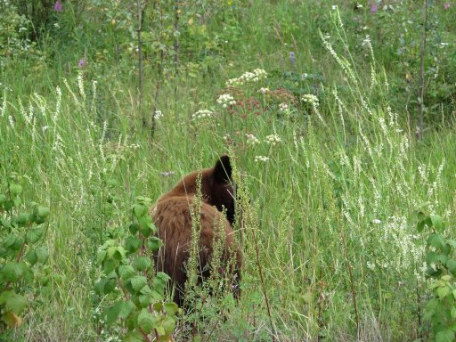
Brown colored black bear on the way to Keno City
Evening trip up to the top of Keno hill

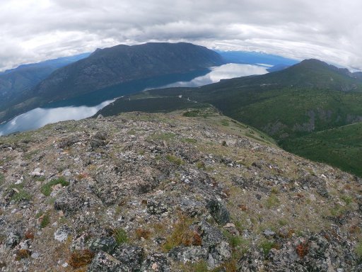
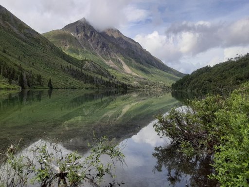
View from Kusawa ridge
A strangely nice picture of the outhouse and hills behind Dezadeash Lake campsite
St Elias Lake hike - we didn't particularly like it while we were there, but the picture turned out pretty good
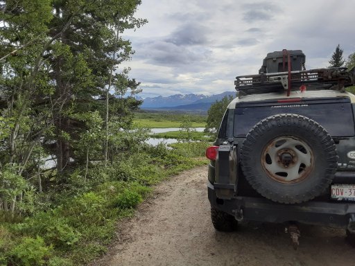
Found a nice 4x4 trail in Kluane to Mush Lake -aboat an hour, included a couple river crossings and a pretty rough road, but nobody at the lake...
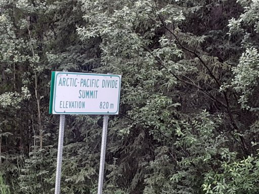
Headed south down hwy 37 into BC
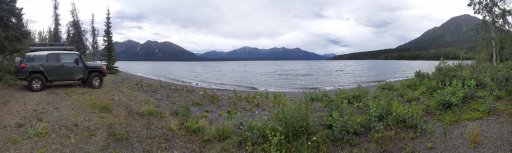
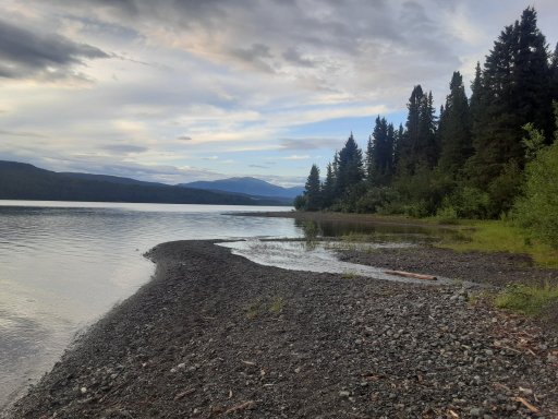
Camp at Dease Lake
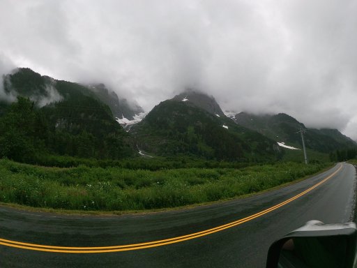
Drive into Atlin was cloudy and rainy, so we didn't end up doing any of the hiking we had planned.
From there, we headed east to visit some family along the way, and finally back home...
Basic trip map - Edmonton-Dawson Creek-Liard - Atlin - Carcross - Whitehorse - Dawson City - Tombstone Territorial Park - Inuvik - Tuktoyaktuk - Kluane National Park - Highway 37 back to Stewart - Back to Edmonton
Mile "0" of the Alaska Highway in Dawson Creek
Sikanni Chief Falls
pair of road mosse getting a snack
Not exactly sunset, but about as close as we got
Liard hotsprings, absolutely the worst mosquitoes of the trip by far, nice otherwise though
a couple road bison north of Liard
Pretty self explanatory.
Signpost forest
Atlin
Atlin area rec site
big ol beaver
pic
Did some dune running at the Carcross Desert
Outhouse with a view up Sam McGee Trail
Whitehorse fox
pic
Had to refuel with a large Cinnamon bun at Braeburn Lodge
Stopped in at Diamond Tooth Gerties for a show(Dawson City)
headin north
Tombstone Campsite
Ptarmagin, was with 4 chicks
Marmot
Overnight hike into Tobstone Territorial Park
Ogilvie Ridge,
View from the start of the Arctic Circle
Random road pic
Gettin' closer
waitin' for the ferry at Ft McPherson
Random road pic
so close!
the road to Tuk
Made it, time to head south.
Back to Inuvik for dinner at Alestine's
roadside campsite
Back to Tombstone to hike Goldensides trail
Brown colored black bear on the way to Keno City
Evening trip up to the top of Keno hill
View from Kusawa ridge
A strangely nice picture of the outhouse and hills behind Dezadeash Lake campsite
St Elias Lake hike - we didn't particularly like it while we were there, but the picture turned out pretty good
Found a nice 4x4 trail in Kluane to Mush Lake -aboat an hour, included a couple river crossings and a pretty rough road, but nobody at the lake...
Headed south down hwy 37 into BC
Camp at Dease Lake
Drive into Atlin was cloudy and rainy, so we didn't end up doing any of the hiking we had planned.
From there, we headed east to visit some family along the way, and finally back home...