Creating Overland Routes in Google Earth
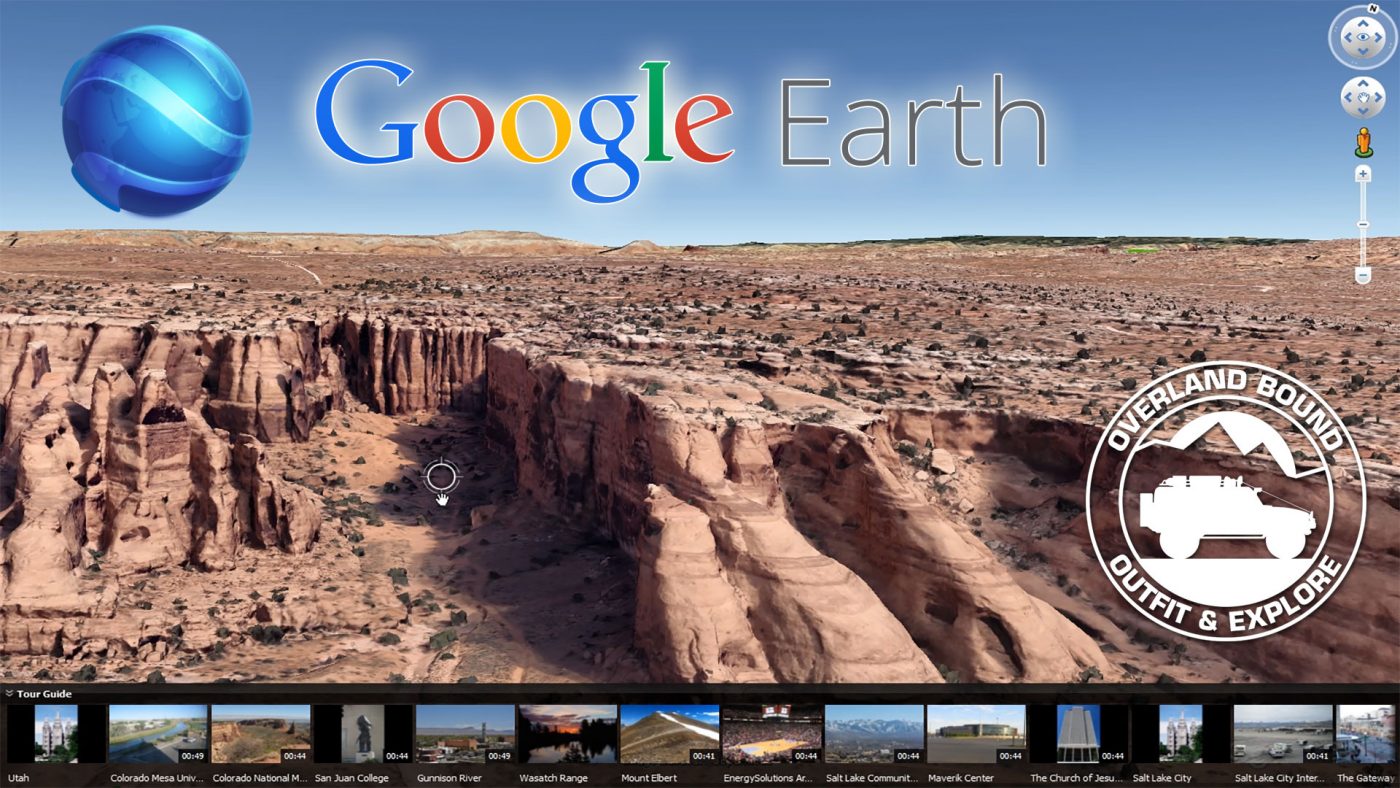
  • HTML tutorial

Egan

Rank VI
Launch Member

Member III

3,084
93610
First Name
Egan
Last Name
Burgess
Member #

2639

Michael submitted an Article on the main site!

Creating Overland Routes in Google Earth


Google Earth is one of the best free tools for...
Continue reading the Original Blog Post.
Thanks for the video, I use this method all the time, however I learned a couple of things watching you do it.

Did you know you can get Google Earth Pro for free? With it you get the following features not in the standard version.

Movie Maker Integration
Geographic Information System (GIS) data import tools
High-resolution printing capability
US parcel, demographic and traffic data layers
Automatic generation of "superoverlays" for very large image files
Automatic region generation of large point and vector datasets
Area measurement

Here is a link and instructions to download the Pro version.

http://www.digitaltrends.com/computing/how-to-get-google-earth-pro-for-free/
 

AdventureWithDanan

Local Expert, Florida USA
Member
Investor

Pathfinder II

4,227
Safety Harbor, FL, USA
First Name
Danan
Last Name
Coleman
Member #

1358

Ham/GMRS Callsign
W3AWD
Service Branch
CERT
Most excellent video sir!

There's also a way to save your own routes in google maps. I'm still trying to figure out the best way to do it, but here's a link to a trip my wife and I did in 2015:
https://goo.gl/maps/AzBA7hnzb2F2
 
  • Like
Reactions: Michael

Egan

Rank VI
Launch Member

Member III

3,084
93610
First Name
Egan
Last Name
Burgess
Member #

2639

Most excellent video sir!

There's also a way to save your own routes in google maps. I'm still trying to figure out the best way to do it, but here's a link to a trip my wife and I did in 2015:
https://goo.gl/maps/AzBA7hnzb2F2
The easiesy way to bookmark them on your browser and then you can send it straight to your device.
 
  • Like
Reactions: Michael

Glenn

Rank VI
Launch Member

Advocate I

3,384
New Tazewell, Tennessee, USA
First Name
Glenn
Last Name
Cote
Member #

3112

  • Like
Reactions: Michael

Egan

Rank VI
Launch Member

Member III

3,084
93610
First Name
Egan
Last Name
Burgess
Member #

2639

Thankyou...I never knew this ! Downloaded :smiley:


Awesome video Michael...Thankyou for that great info !
Pro allows you to calculate distance using the the 3D characteristcs od the software as opposed to just a staight line, which is not that big of deal unless there is a lot of elevation change or you are travelling a great distance. But it is pretty neat!
 
Last edited:
  • Like
Reactions: Glenn

Jeepney

Rank IV

Pathfinder I

1,212
MN
You can use google MyMaps to plot driving routes as long as the trails are available. Export as kmz file and then load it to Google Earth.


Sent from my iPhone using Tapatalk
 

Tim D

Rank I
Launch Member

Contributor I

271
Nashville
Member #

3568

Downloading it tonight and will be using it for this upcoming weekends adventure in the Big South Fork National Forest.
 

Kevigizmo

Western Europe Moderator
Launch Member

Influencer II

4,826
North Walsham, Norfolk, UK
First Name
Kevin
Last Name
Titmarsh
Member #

2923

what an wicked video,

I've been using google earth for years in my day job for link planning and design work, however it never occured to me that i could export a gpx file for my satnav / gps

So i use it to get an idea of the area like mentioned,

Thanks @Michael really good for those who may not use it as often as others :sunglasses:
 

Quicksilver

Rank VI
Launch Member

Advocate III

3,127
Molalla, OR
Member #

5353

This is the first OB video I stumbled across a month or two back. Checking out other OB videos is what introduced me to this community. So thanks are due on two fronts: 1) for posting a very useful how-to, and 2) for providing the bridge that brought me here.
 
  • Like
Reactions: Steve