

Influencer I
- 3,231
- First Name
- Larrie is
- Last Name
- sharing our travels with the world.
- Member #
-
19319
- Ham/GMRS Callsign
- KG7WDX
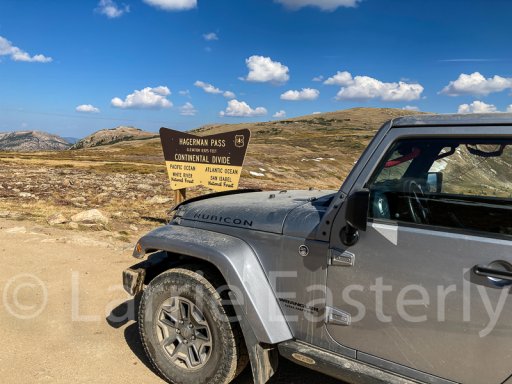
The end of September some friends and I spent ten days exploring the area along the Colorado Backcountry Discovery Route. We had a great time. Here are some highlights of the trip. You can read the full report and see additional photos on our travel blog. I will get some video posted on YourTube of the trip in a few weeks.
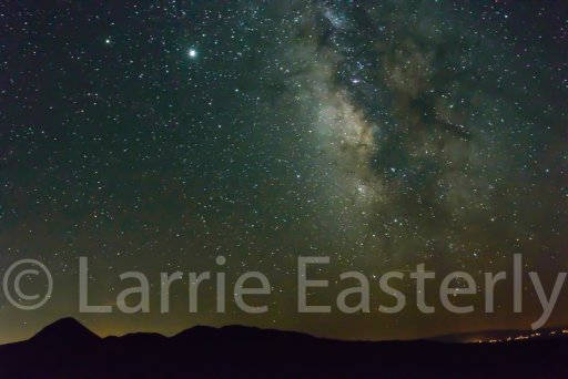
The western wildfires were still burning when we started the trip. As a result we had only one clear and starry night.
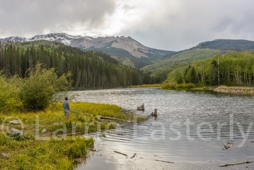
We stopped at Woods Lake for lunch and to enjoy the view.
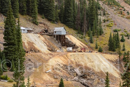
Some of the mine ruins on the way to Animas Forks.
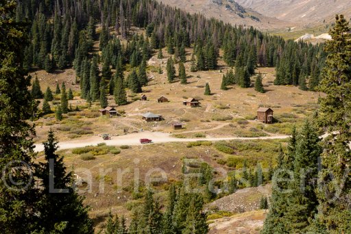
Animas Forks ghost town sits in a beautiful valley.
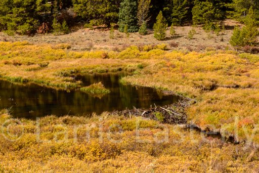
There were many high mountain streams with beaver lodges and dams in them.
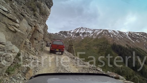
Ophir Pass
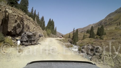
On the way to Animas Forks we came across a sober reminder to drive carefully, a wrecked ATV, and pay attention to the road. It is easy to get distracted by the scenery.
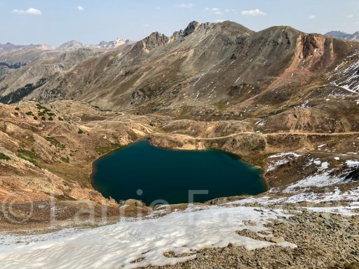
There were lots of cold high mountain lakes.
We traveled over 11 mountain passes ranging between 10,000 and 13,000 feet.
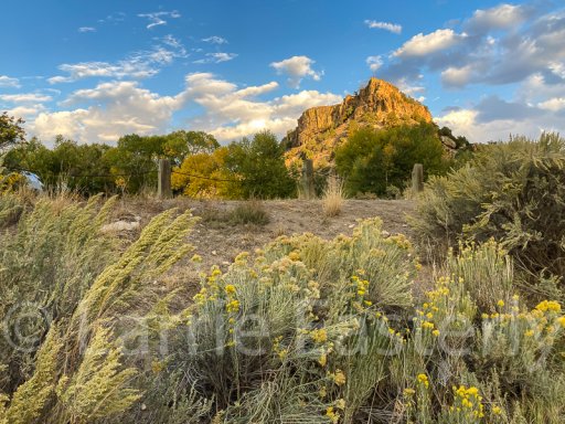
The views were fantastic.
The western wildfires were still burning when we started the trip. As a result we had only one clear and starry night.
We stopped at Woods Lake for lunch and to enjoy the view.
Some of the mine ruins on the way to Animas Forks.
Animas Forks ghost town sits in a beautiful valley.
There were many high mountain streams with beaver lodges and dams in them.
Ophir Pass
On the way to Animas Forks we came across a sober reminder to drive carefully, a wrecked ATV, and pay attention to the road. It is easy to get distracted by the scenery.
There were lots of cold high mountain lakes.
We traveled over 11 mountain passes ranging between 10,000 and 13,000 feet.
The views were fantastic.
Last edited:


