Advocate I
Put in 475 miles over 3 days and pretty much covered Prather to Oakhurst. Heavy law enforcement around Millerton and Bass Lakes. Forest Road 81 (Minarets Rd) pretty deserted. Some day trippers, some fisherman, and some campers. Everyone encountered had a "minding their own business" attitude. 81 from North Fork to end is open but lots of downed trees to pass, go slow, and once on dirt there is still snow in shady spots that became impassible on 31s. Most, but not all, trail gates locked.
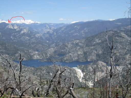
Camped 3 days, probably nobody for a few square miles and we looked to be the first campers of the year. Found prime spot along a creek behind Jackass Rock. Had to cut some trees out of the road to get there. Only one truck came by in 3 days.
Unable to reach Beashore Rd from Bass lake while exploring on Sunday. A 1 ton 4x4 dully with KM3s was stuck to the axles in snow blocking the road. Lots of empty ATV trailers and 4x4s along the way. A pack of Sheriffs on dirt bikes passed several times but our camp load was stuffed behind tinted windows and nothing on the roof. Did not try Fresno Dome area or Fishcamp, it was getting a little too "hot" around the easy access points.
A lot of people are playing in the forest, isolating in real isolation. It is our National Land. Be safe and do what you got to do.
Last edited: