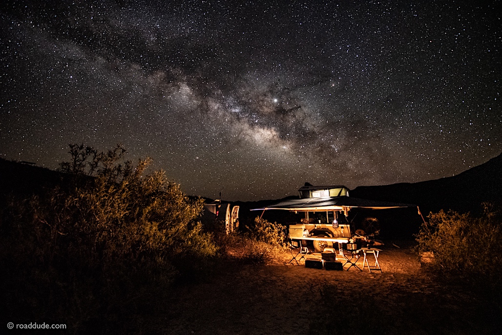
I originally posted this as a reply in the New Members area but thought it was out of place there. So here it is again.
Big Bend National Park and Big Band Ranch State Park are pretty well documented so be sure and grab some literature at the park headquarters in both cases. The national park as some nice mile by mile trail guards with lots of historical information about activities in the area. I could name off the roads in the national park but what I would say it to consider starting starting near either park entrance and map a path on dirt to the other entrance. I like to start at the North end of Old Ore Road and travel South toward the hot springs. Lots of camp sites but you will need to reserve the site you think you will be stopping at. After a dip in the hot springs we take River Road East to Glenn Spring Road. Glenn Spring Road gives you access to the East end of Black Gap Road, the only none maintained path in the park. Black Gap is great, my favorite in the national park because it can be tough and normally nobody else is out there. Black Gap reconnects to the River Road about 11 miles from where you turned off at Glenn Spring. If you continue on West on River Road you will hit pavement in about 27 miles near Castolon on Ross Maxwell Scenic Drive. Follow Ross Maxwell West to Santa Elena Canyon for a terrific view and hike into 1000 ft cliffs and a swimming area on the Rio Grande. After your time at Santa Elena travel North on Old Ore Road toward the West park entrance near Study Butte.
The state park trails are more remote, less traveled, and in many cases much more difficult than the national park. Let me know if you would like some info about those trails. Also look into Terlingua Ranch and for a navigation challenge try starting at either South or North County Road. There are hundreds of miles off these roads and no great maps that I have seen. North and South county roads do meet somewhere in the middle of nowhere. Hope this helps!!
Last edited:


