Big Bear 4X4 Trails July 2018

  • HTML tutorial

BCBrian

Rank V
Launch Member

Advocate III

1,836
Boulder Creek, CA
Member #

3344

My friend Tom and I spent a couple days checking out trails near Big Bear Lake the weekend of 7/20 - 22. There is a wide variety of terrain to choose from in the area but the 'Guide to Southern California Backroads & 4-Wheel Drive Trails' book by Charles A. Wells and a good Forest Service map helped us choose our routes.

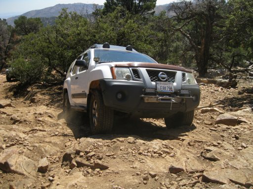
Friday AM we decided to tackle the Gold Mountain loop located off Hwy 18 just east of town. This was a fun trail with a few rocky ledge challenges and great views of the area.

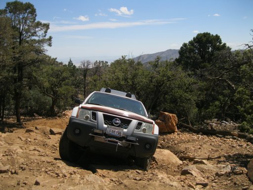
This was the 1st ledge that had 3 or 4 different lines to choose from. Even the easiest, which we chose, was a little tricky.
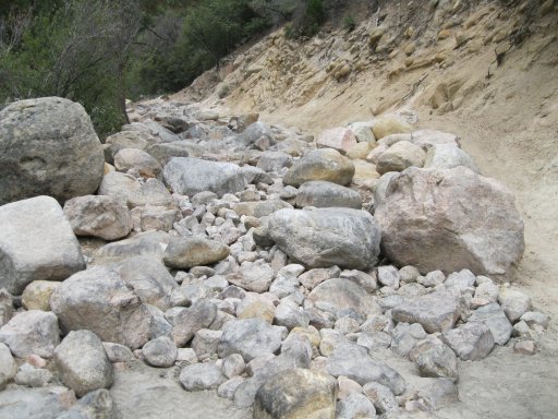
Attached ThumbnailsIMG_6042.JPG IMG_6044.JPG IMG_6046.JPG IMG_6047.JPG The 2nd ledge had a series of boulders right after it. The entrance had several options to choose from but there were some tree's on the right we decided to avoid. This is Toms 2010 Xterra Offroad Edition.
IMG_6049.JPG
IMG_6050.JPG
IMG_6051.JPG
IMG_6052.JPG
IMG_6053.JPG
Here is a video of the above 2 sections -
 
  • Like
Reactions: JCWages

BCBrian

Rank V
Launch Member

Advocate III

1,836
Boulder Creek, CA
Member #

3344

This 3rd challenge was a little tighter, with only a couple choices to pick from. Tom made it through without too much of a problem but I slipped sideways and found myself wedged in a hole where I could not move. The last pick shows how a rock was between the slider and rear tire. Tom spun around and gave me a 3' tug with his winch and we were moving again.
IMG_6060.JPG
IMG_6056.JPG
IMG_6057.JPG
IMG_6058.JPG
Tom 2.jpg
IMG_6061.JPG
IMG_6062.JPG
We were going to run Jacoby Canyon next but the gate was locked due to damage from a recent fire. After a quick stop for lunch, we headed into town to look for a replacement for Toms antenna after the mount broke. Luckily, I hand my hand held CB with me so we could still communicate in the meantime. The CB radio store was closed but when we pulled up the owner Jeff came out and ended up loaning Tom a mag mount antenna which he used for 2 days. We had a long conversation with him about the trails in the area and he helped us choose our afternoon run and encouraged us to try what we were considering for sat. More on that in the next post.

Next we headed up Mill Creek Rd on the south slope above town and took Skyline Dr. (2N10) to Clarks Grade (1N54). This is a combination of a couple runs in the guide book, Clarkes Summit and Skyline Drive. The decent was steep and about 3200' of vertical drop on a narrow shelf road. There were a few spots where we were hanging on the hillside looking down a 85 or 90 percent slope! This is rated as a moderate trail and had a few minor challenges to negotiate. Once we neared the bottom, we turned east on Converse Rd. (1N04) and headed for the climb up Radford Truck Trail (2N06) towards Snow Summit ski resort. At the top we reconnected with Skyline Dr. (2N10) and turned right for the return trip to town.

I did not take any photo's on this portion but I wanted to include this description in case anyone heads to Big Bear and would like to try this run. It was a fun loop definitely worth doing.
 

BCBrian

Rank V
Launch Member

Advocate III

1,836
Boulder Creek, CA
Member #

3344

After talking with Jeff on fri, we decided to try one of the tougher trails in the area on sat. We left town and headed west on Hwy 18 and turned right on Green Valley Lake Rd. (3N16). Soon we arrived at the entrance to Holcomb Creek Tr. (3N93). We quickly realized that while we might be able to get through the 150' gate keeper section with a lot of rock stacking and winch work, this was not a challenge that we were well equipped for.

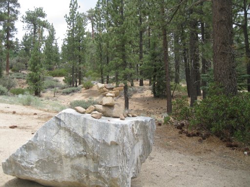
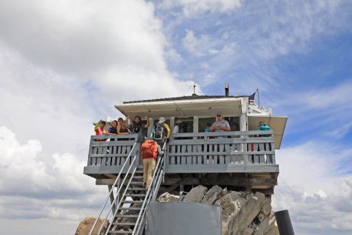
The decision was made to head for the Butler Peak fire lookout instead. We continued east on 3N16 and turned right on 3N14, passing Hanna Flat CG before turning right again on 2N13. This is where I spotted the rock Moose someone had setup. We then turned left on 2N13B which climbed up to the fire lookout. This is a narrow road with a few minor obstacles but it was passable by a stock Subaru station wagon. Depending on the day and time you drive this route, there can be quite a bit of traffic and delays due to few spots to make room for passing vehicles. The fire lookout was pretty crowded but well worth checking out. We had lunch while enjoying the view.

IMG_6065.JPG IMG_6063.JPG IMG_6064.JPG IMG_6066.JPG IMG_6067.JPG Tom 3.jpg Tom 4.jpg Tom 5.jpg
Butler Peak view.jpg
 
  • Like
Reactions: JCWages

BCBrian

Rank V
Launch Member

Advocate III

1,836
Boulder Creek, CA
Member #

3344

After a trip back through town, we decided to head to a nearby trail system located just east of Baldwin Lake (which is more of a meadow now...) east of Big Bear. We entered FS Rd. 2N02 off of Baldwin Lake Rd. just as it started to rain lightly, knocking the dust down. This trail was basically a fire road with a few minor obstacles and some steeper sections. It turned south and we drove past the Arrastre recreational shooting site before making a right turn on 2N01 which would bring us back to town on Hwy 38. 2N01 was rated as a moderate trail and had some mud holes (with bypasses) and minor obstacles to negotiate. It got narrow as it dropped down into a little valley with some springs and lots of green vegetation before a rocky climb to the hwy.

We both enjoyed this trail even though it was not very challenging. Tom is considering it as a possible mountain bike loop ride. There were some dead end spur trails that we saved for next time that looked interesting. One went to the summit of Tip Top Mtn and was rated moderate.
IMG_6068.JPG IMG_6070.JPG
My friend Tom had 2 camera's with him and 1 was setup to shoot in infared. The contrast in these photo's is excellent when taken on a cloudy day. I guess these files are too large to view as a full image.
inf 1.jpg
inf 2.jpg
inf 3.jpg
inf 4.jpg
inf 5.jpg
 

BCBrian

Rank V
Launch Member

Advocate III

1,836
Boulder Creek, CA
Member #

3344

Getting in and out of Big Bear is a long drive through the desert for me from the Santa Cruz mountains. On the way there, I went over hwy 58 heading east to hwy 395. I spent about 1.5 hours sitting in bumper to bumper traffic near the town of Boron before finally making it to 395 south. The drive through Victorville, Apple Valley and Lucerne Valley was not very pleasant but got me to my destination easy enough..... almost 10 hours later!

For the trip home on sunday, we decided to travel together towards Gorman where we would part ways after refueling. We decided to run the Pilot Rock Rd. trail above Silverwood Lake to break up the highway miles. It was a steep, moderately rated climb with a few minor obstacles followed by a long fire road decent to the lake. We even saw a Nissan Versa on the trail down near the bottom! There are a bunch of optional side trails once you reach the top of the climb but we left those for the next visit.

The trip back across the desert near Palmdale and Lancaster was uneventful and uninspiring. The heat was oppressive at 106' so we just kept moving down the road with the AC on high.

This was a super fun trip into an area I had not seen before and I look forward to getting back there for more exploration.
IMG_6071.JPG

I hope this trip report inspires you to check out the Big Bear Lake area. While we stayed in a nice house in town, there are many great places to set up camp in the surrounding area to make the adventure more of an Overlanding trip.