It wasn't a beautiful Day, kind of hazy and cool...mid 70's during the middle of the day. I know from living in Central Arkansas all of my life that there is a short window to see the fall foliage, especially if you have really good fall colors. The rain and the wind come and all of the leaves end up on the ground before you can view them on the trees.
I knew from riding our Harley's from Conway to Hot Springs down Hwy 9 that there was a scenic drive just south of Williams Junction or about 10 miles south of Perryville. We made it around 1 p.m. and started our ascent up in the Ouachita Mountains.
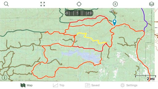
The road was pretty good. Nothing technical or high skill level about it. My wife commented about how well maintained she thought it was for a Forrest Road. The brochure (file included) says that the road is "designed for two-way travel..." but most of the time if you meet someone either one of you will have to pull onto the side or in the ditch in order to let the other pass.
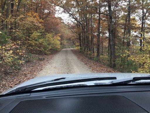
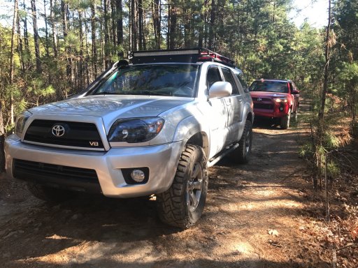
After a few miles on this road we came to an opening where a gate was, but the gate was open. The sign on the gate stated that the road was closed and was for Forrest Services Vehicles only. But the gate was open so we were free to venture down the narrow trail. This trail would be much trouble if you were to meet oncoming traffic for sure. It was several miles and there were only 2-3 suitable turnarounds. I received a few "badges of honor" on this travel as some call it. My wife calls them scratches and don't like them at all. lol
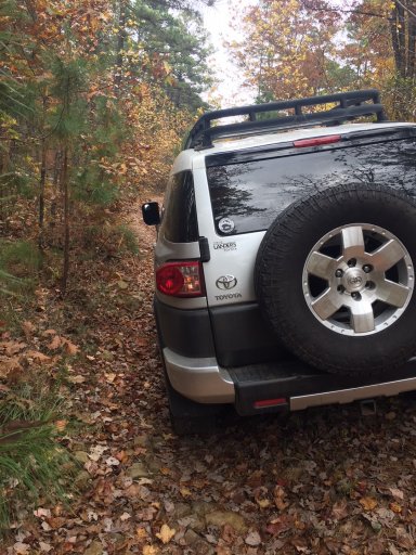
Across from this trail was a sign that stated "Lake Sylvia 2 miles" so we ventured down to see this lake and what the area had to offer.
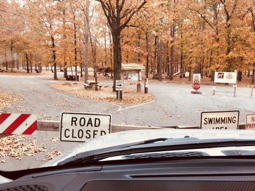
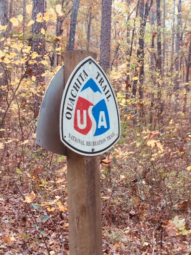
We arrived and found the lake to be closed. Not sure why. Maybe due to hunting season in the forest area. But not sure. You might want to check with the forest service or whoever manages this area before you head to this lake for fishing or hiking. The Ouachita National Trail also runs through this area.
We continued back up to the main road (which was clearly marked and found that the drive held some of the most beautiful overlooks I had ever encountered in Arkansas. Sure Mount Nebo, Mount Magazine and Petit Jean Mountain offer amazing vistas for this type of scenery but who wants to travel on the blacktop right?
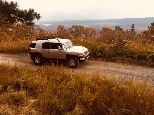
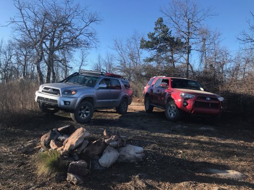
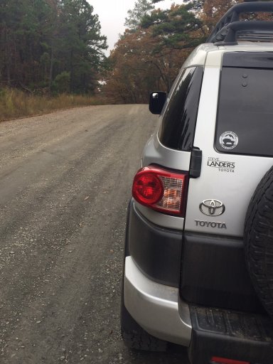
A few more miles and we came to Winona Lake Vista Point. Going up to this point was pretty rough. But the FJ handled it with ease. Mostly large rocks. Road is not maintained. But the view and the campground at the point are unbelievable. We will definitely be going back here to camp.
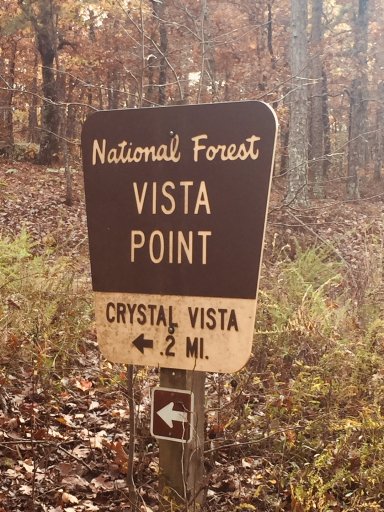
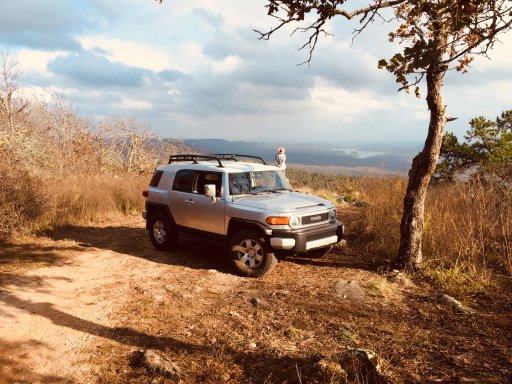
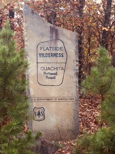
A few more miles, about 1/2 way down the 22 miles of scenic drive we came to the Flatside Wilderness trail which we did not at this point have time to go down. It was another 18 miles to Hwy 7 and we wanted to be out on the Hwy by dark. But after reading about the Flatside and how it has the most beautiful Sunset views arguably in all of AR we will definitely go back there.
The rest of the remaining road offered many different overlooks and scenic views. Amazing vistas of the fall foliage. Exactly what we had been looking for. Also found many roadside camping spots and places for me to deer hunt in a few weeks. You could spend 2-3 days up on this trail seeing everything it has to offer.
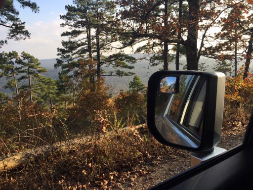
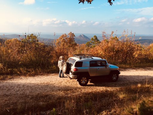
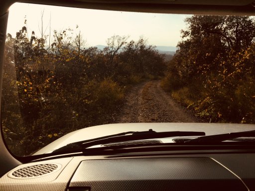
The final viewing spot we came upon was Forked Mountain. What a beautiful mountain that was nestled in the National Forest flatland. The following link states how to get to this mountain.
http://www.exploretheozarksonline.com/activities/parksnature/nationalforests/ouachita/jessieville/flatside/forkedmountain.html
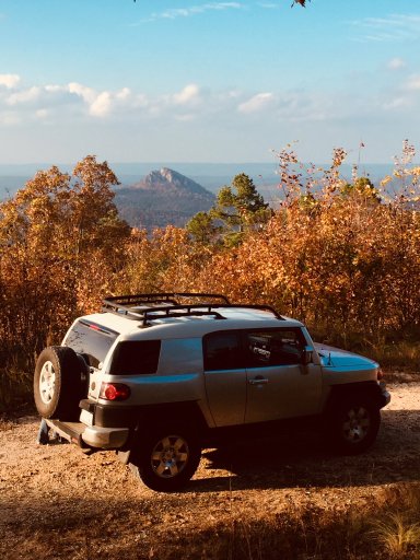
The Winona Auto Tour did not disappoint. We will definitely be back to visit Lake Winona, the Winona Vista Camping spot and overlook and the Flatrock area and definitely get a closer view of Forked Mountain.
We came out on Hwy 7 about 6 miles north of Jessieville. As soon as we came out out Hwy 7 I noticed that there was another 20+ miles going straight across the hwy to another hwy out even more west. That will be put on the list for a future date.
Turned right and headed north back to Conway. It was about a 110 mile mile round trip.
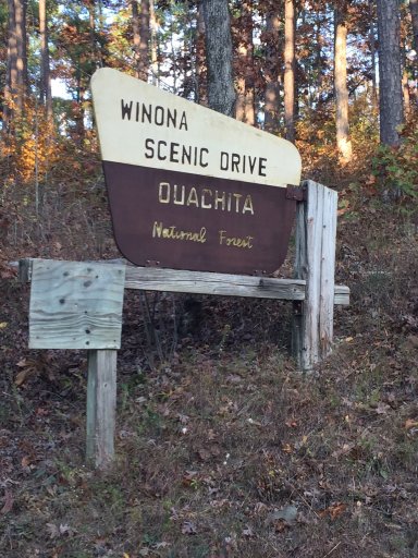
I knew from riding our Harley's from Conway to Hot Springs down Hwy 9 that there was a scenic drive just south of Williams Junction or about 10 miles south of Perryville. We made it around 1 p.m. and started our ascent up in the Ouachita Mountains.

The road was pretty good. Nothing technical or high skill level about it. My wife commented about how well maintained she thought it was for a Forrest Road. The brochure (file included) says that the road is "designed for two-way travel..." but most of the time if you meet someone either one of you will have to pull onto the side or in the ditch in order to let the other pass.

After a few miles on this road we came to an opening where a gate was, but the gate was open. The sign on the gate stated that the road was closed and was for Forrest Services Vehicles only. But the gate was open so we were free to venture down the narrow trail. This trail would be much trouble if you were to meet oncoming traffic for sure. It was several miles and there were only 2-3 suitable turnarounds. I received a few "badges of honor" on this travel as some call it. My wife calls them scratches and don't like them at all. lol

Across from this trail was a sign that stated "Lake Sylvia 2 miles" so we ventured down to see this lake and what the area had to offer.

We arrived and found the lake to be closed. Not sure why. Maybe due to hunting season in the forest area. But not sure. You might want to check with the forest service or whoever manages this area before you head to this lake for fishing or hiking. The Ouachita National Trail also runs through this area.

We continued back up to the main road (which was clearly marked and found that the drive held some of the most beautiful overlooks I had ever encountered in Arkansas. Sure Mount Nebo, Mount Magazine and Petit Jean Mountain offer amazing vistas for this type of scenery but who wants to travel on the blacktop right?

A few more miles and we came to Winona Lake Vista Point. Going up to this point was pretty rough. But the FJ handled it with ease. Mostly large rocks. Road is not maintained. But the view and the campground at the point are unbelievable. We will definitely be going back here to camp.


A few more miles, about 1/2 way down the 22 miles of scenic drive we came to the Flatside Wilderness trail which we did not at this point have time to go down. It was another 18 miles to Hwy 7 and we wanted to be out on the Hwy by dark. But after reading about the Flatside and how it has the most beautiful Sunset views arguably in all of AR we will definitely go back there.

The rest of the remaining road offered many different overlooks and scenic views. Amazing vistas of the fall foliage. Exactly what we had been looking for. Also found many roadside camping spots and places for me to deer hunt in a few weeks. You could spend 2-3 days up on this trail seeing everything it has to offer.


The final viewing spot we came upon was Forked Mountain. What a beautiful mountain that was nestled in the National Forest flatland. The following link states how to get to this mountain.
http://www.exploretheozarksonline.com/activities/parksnature/nationalforests/ouachita/jessieville/flatside/forkedmountain.html

The Winona Auto Tour did not disappoint. We will definitely be back to visit Lake Winona, the Winona Vista Camping spot and overlook and the Flatrock area and definitely get a closer view of Forked Mountain.
We came out on Hwy 7 about 6 miles north of Jessieville. As soon as we came out out Hwy 7 I noticed that there was another 20+ miles going straight across the hwy to another hwy out even more west. That will be put on the list for a future date.
Turned right and headed north back to Conway. It was about a 110 mile mile round trip.

Attachments
-
1.4 MB Views: 10


