
Advocate I
Yes. It’s paved road.Is the bypass pretty obvious to get back on the trail?

Advocate I
Yes. It’s paved road.Is the bypass pretty obvious to get back on the trail?
ha yes, I should hopefully not miss that then. Would you anticipate any sections being overgrown? I was wondering if I should take my electric chainsaw.Yes. It’s paved road.

Advocate I
I always take my saw. Primarily for cutting firewood at the campsite (stuff thats down already) and for the occasional tree across the road.ha yes, I should hopefully not miss that then. Would you anticipate any sections being overgrown? I was wondering if I should take my electric chainsaw.
Copy that. Thanks for your help, John!I always take my saw. Primarily for cutting firewood at the campsite (stuff thats down already) and for the occasional tree across the road.

Enthusiast II
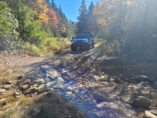
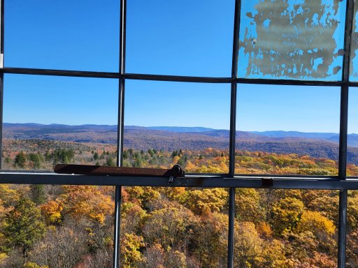
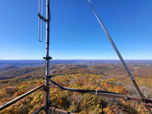
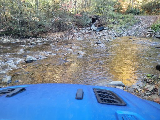
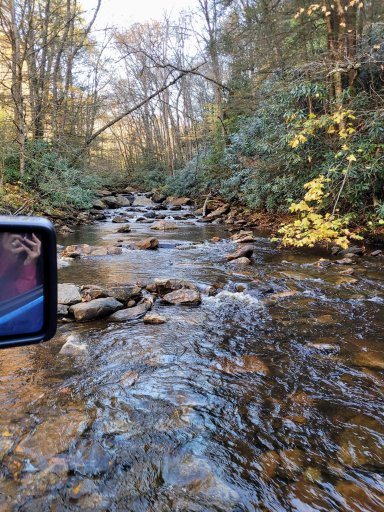
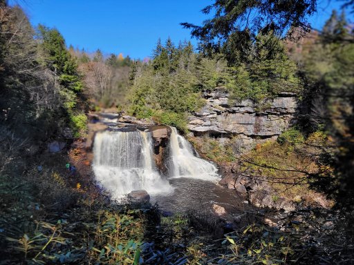
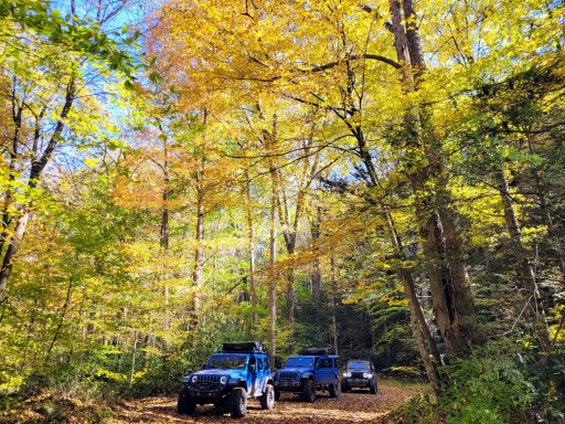
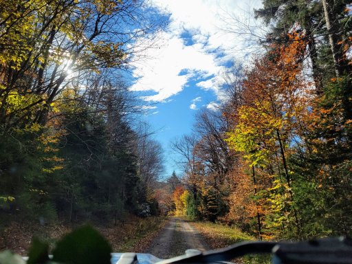
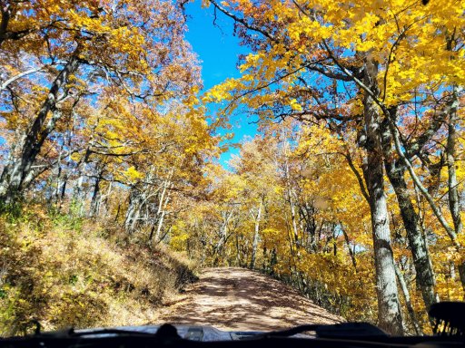
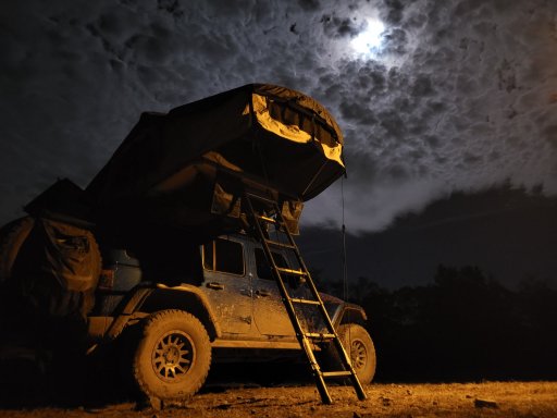
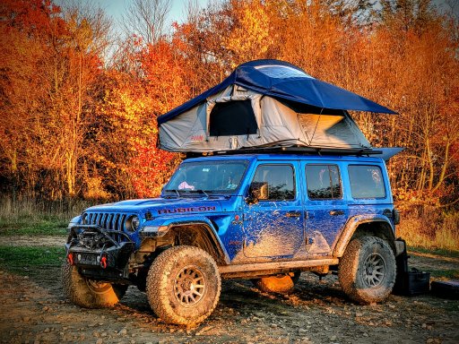
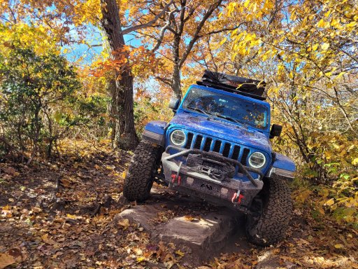
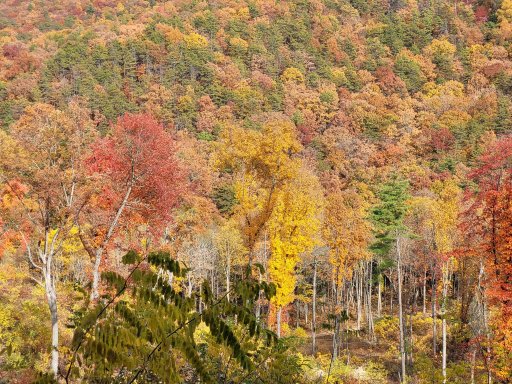
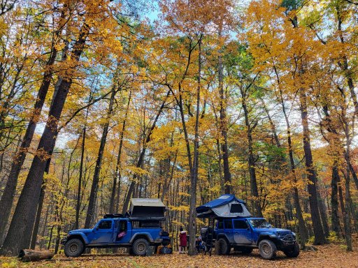
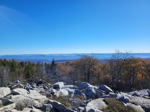
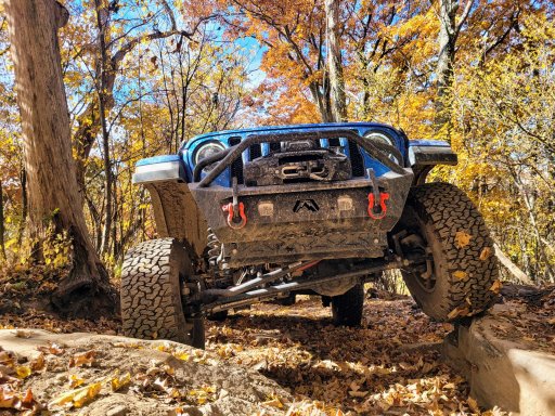
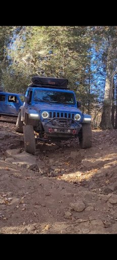
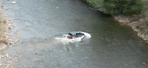
Awesome photos! We are tracking for Easter weekend if the weather holds. Can’t wait! You’re photos are making me excited to get out there!Had an awesome time on this route this past fall. That dry fork water crossing was over 3'6" when we got to it, so decided to bypass. I would love to get back down there this summer to cross and camp next to that river, there were some killer sites right at the crossing but we didn't stay there this time.View attachment 275226View attachment 275227View attachment 275228View attachment 275229View attachment 275230View attachment 275231View attachment 275232View attachment 275233View attachment 275235View attachment 275237View attachment 275238View attachment 275239View attachment 275240View attachment 275241View attachment 275242View attachment 275243View attachment 275244
That looks like an awesome trip. Would a stock Mojave Gladiator be able to run this? If anyone is looking to do this trip and looking for tag alongs, please keep me in mind.Had an awesome time on this route this past fall. That dry fork water crossing was over 3'6" when we got to it, so decided to bypass. I would love to get back down there this summer to cross and camp next to that river, there were some killer sites right at the crossing but we didn't stay there this time.View attachment 275226View attachment 275227View attachment 275228View attachment 275229View attachment 275230View attachment 275231View attachment 275232View attachment 275233View attachment 275235View attachment 275237View attachment 275238View attachment 275239View attachment 275240View attachment 275241View attachment 275242View attachment 275243View attachment 275244
There’s a YT channel called “Simply Must Go” you can check out. He did the whole trip last Oct in what looked to me to be a base model Wrangler with no mods. He commented a few times that he scraped a bit in some sections and thought he would have been unphased with a 2” lift and 35’s. Watching his trip video, I’d think you’ll be fine. The only real question mark for really anyone that I can tell is the water level of the river crossing.That looks like an awesome trip. Would a stock Mojave Gladiator be able to run this? If anyone is looking to do this trip and looking for tag alongs, please keep me in mind.
Thanks for the feedbackThere’s a YT channel called “Simply Must Go” you can check out. He did the whole trip last Oct in what looked to me to be a base model Wrangler with no mods. He commented a few times that he scraped a bit in some sections and thought he would have been unphased with a 2” lift and 35’s. Watching his trip video, I’d think you’ll be fine. The only real question mark for really anyone that I can tell is the water level of the river crossing.

Enthusiast II
You should be fine for that whole route, but like Roofus said if the water is really high at the crossing may have to go around. I am on 2.5" lift with 35s and never scraped anything, some parts of Union Springs road you may scrape here and there but nothing major.That looks like an awesome trip. Would a stock Mojave Gladiator be able to run this? If anyone is looking to do this trip and looking for tag alongs, please keep me in mind.
Thank youYou should be fine for that whole route, but like Roofus said if the water is really high at the crossing may have to go around. I am on 2.5" lift with 35s and never scraped anything, some parts of Union Springs road you may scrape here and there but nothing major.

Influencer II

Influencer II
Will you be out over Easter weekend?Prayers up for good weather. We set out a week from Thursday if the weather holds. Looking forward to a good ride and no bears!
Yep! We'll try to arrive at our first camp Thursday evening and then just go at our own pace through Monday morn.Will you be out over Easter weekend?

Traveler III
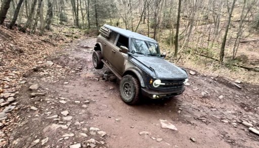
I'll try to do a full trail report at some point. I have been so busy the last few months. I would say probably 70% of our trip was on forest service roads and 20% is surface roads, which would be totally fine for your trailer. But the problem would be the offroad trails. Depending on the size of your trailer and your skill, I would be very worried about the north half of Canaan Loop Road (you could do south side where the camping spots are easily), and I would absolutely not take Union Springs. If you're coming south to north to the Reddish Knob parking lot/overlook, you will be on Flagpole Knob when you get back on the road heading north. Flagpole Knob splits and you can continue on it, or take Union Springs down. I would absolutely not take Union Springs with a trailer. The Flagpole Knob route could still get you in some spots, but I tried taking some tougher lines that I wouldn't have with a trailer (See below). You can also just adjust the route. I don't know if there is an "official" Allegheny Discovery Route. I've watched a dozen YT vids on the route and everyone seems to have a slightly different route due to what they want to see or where they are starting from. I took the route shared on Gaia and customized it in OnX with what I wanted to see. In fact, the Gaia route now takes you through what is now a gated mountain neighborhood north of Davis. A construction guy just happened to be there who let us pass through. Another stretch was now gated for AirBnB rentals. So the original route doesn't even work like it did years ago. So don't be worried about routing around anything tough for your trailer, you'll still see plenty.Is the route doable with a trailer?

Traveler III
Coming down flagpole would that be dunkle hollow and come out by the lake, where it splits to Union springs?I'll try to do a full trail report at some point. I have been so busy the last few months. I would say probably 70% of our trip was on forest service roads and 20% is surface roads, which would be totally fine for your trailer. But the problem would be the offroad trails. Depending on the size of your trailer and your skill, I would be very worried about the north half of Canaan Loop Road (you could do south side where the camping spots are easily), and I would absolutely not take Union Springs. If you're coming south to north to the Reddish Knob parking lot/overlook, you will be on Flagpole Knob when you get back on the road heading north. Flagpole Knob splits and you can continue on it, or take Union Springs down. I would absolutely not take Union Springs with a trailer. The Flagpole Knob route could still get you in some spots, but I tried taking some tougher lines that I wouldn't have with a trailer (See below). You can also just adjust the route. I don't know if there is an "official" Allegheny Discovery Route. I've watched a dozen YT vids on the route and everyone seems to have a slightly different route due to what they want to see or where they are starting from. I took the route shared on Gaia and customized it in OnX with what I wanted to see. In fact, the Gaia route now takes you through what is now a gated mountain neighborhood north of Davis. A construction guy just happened to be there who let us pass through. Another stretch was now gated for AirBnB rentals. So the original route doesn't even work like it did years ago. So don't be worried about routing around anything tough for your trailer, you'll still see plenty.Is the route doable with a trailer?
View attachment 279197
View attachment 279198
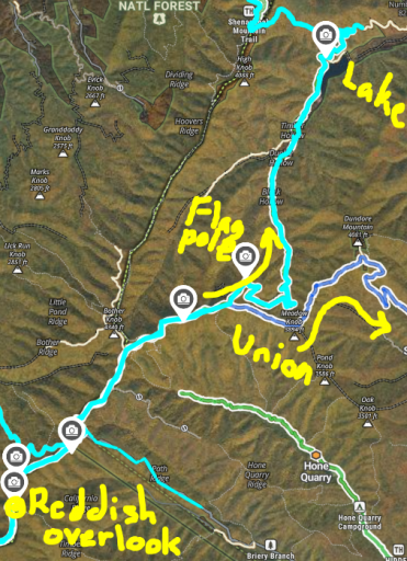
I'm not sure what Dunkle Hollow is. But yes, we came down from the Reddish Knob parking lot and after some time had to make a left to stay on Flagpole Knob before that stretch gets back to the highway. Once on Flagpole you kinda crest the top of the mountain and the road forks left. If I went straight that would have turned into Union Springs, but taking the left path went all the way down to the lake. Once we were back down, it did appear that you could take a right just before the lake to continue on Flagpole and loop back to Union. But the route we had kept straight to pass the lake which took us back to the highway. The route continues on the highway for a bit and then puts you back on a forest service road.Coming down flagpole would that be dunkle hollow and come out by the lake, where it splits to Union springs?

Traveler III
Exactly what I was looking at on the map! Thank you!I'm not sure what Dunkle Hollow is. But yes, we came down from the Reddish Knob parking lot and after some time had to make a left to stay on Flagpole Knob before that stretch gets back to the highway. Once on Flagpole you kinda crest the top of the mountain and the road forks left. If I went straight that would have turned into Union Springs, but taking the left path went all the way down to the lake. Once we were back down, it did appear that you could take a right just before the lake to continue on Flagpole and loop back to Union. But the route we had kept straight to pass the lake which took us back to the highway. The route continues on the highway for a bit and then puts you back on a forest service road.Coming down flagpole would that be dunkle hollow and come out by the lake, where it splits to Union springs?
View attachment 279311
