

Earlier this month, I led a small group of folks along OTG's 180+ mile Mogollon Rim Discovery Plan. With plans to follow up our Mogollon trip with Sedona, this was the perfect warmup for a 10 day adventure through some of northern Arizona's most breathtaking landscapes.
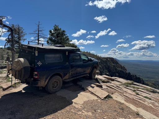
After the Grand Canyon, the Mogollon Rim (we'll refer it to simply as the Rim) is Arizona's largest geological feature, and at 200 miles long, it's one the longest escarpments in the world! The Rim is composed primarily of limestones and sandstones that were formed from sediments that were deposted over the Carboniferous and Permian periods. The eastern end of the Rim is much less impressive, with the Rim rising 4-5,000' above sea level. The much more impressive western end rises to over 8,000', with the escarpment faces descending up several thousand feet from the lowlands below.
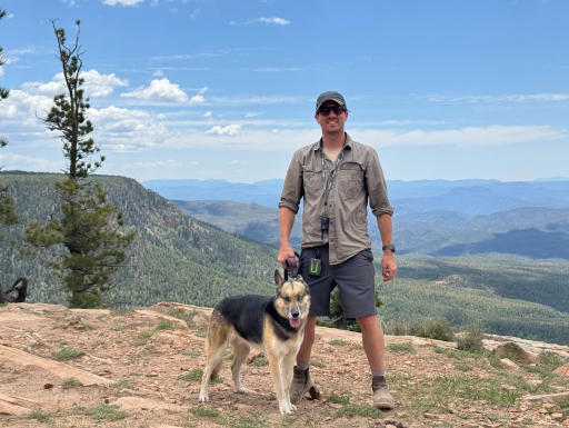
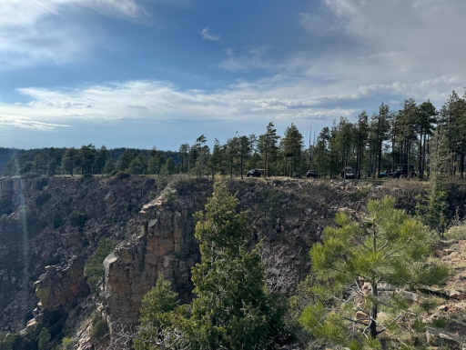
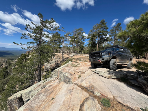
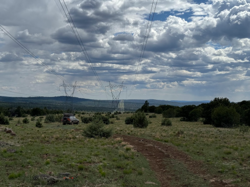
Folks in Phoenix and other desert dwellers often escape to the higher elevations of the Rim, which tends to be much cooler than the boiling temperatures of the desert lowlands during the warm season. The eastern end of the track sees much less maintainence than the western half of Rim Road, so expect quite a few bumps along the way, but nothing a stock Subaru can't handle. Once you hit the "main" part of Rim Road, the road is wide, and typically graded on an annual basis to create what we like to call a dirt highway. The views along the western end are by far the most impressive.
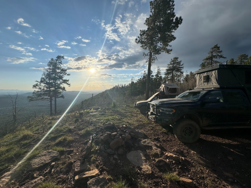
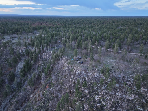
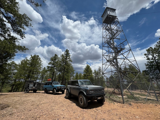
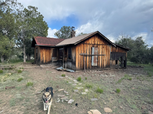
The rim is littered with hundreds of campsites, but trying to find a cliffside camp can be challenging on weekends when city dwellers flock to the rim. However, if you get creative and start exploring some of the side roads off of Rim Road, chances are you'll score something eventually.
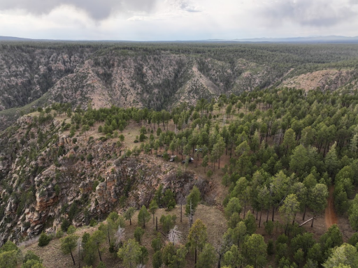
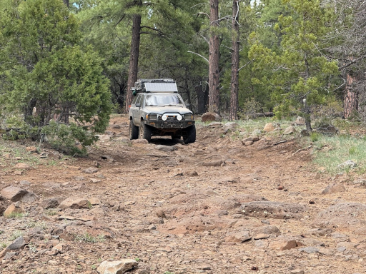
Our third day along the track departs from the Rim, onto the alternative track extension just north of Hwy 260 and parallels the West Clear Creek Wilderness area. Unlike the dirt super highway along much of Rim Road, this portion of the track features lots and lots of rocks! Nothing really technical, but you'll spend a solid 4-5 hours in 4-low making your way through the country that begins in the pine forest, but soon gives way to the Serengeti like scrublands filled with massive ancient Juniper.
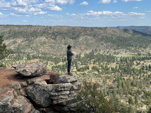
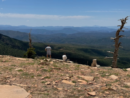

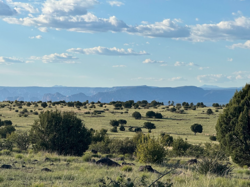
After the Grand Canyon, the Mogollon Rim (we'll refer it to simply as the Rim) is Arizona's largest geological feature, and at 200 miles long, it's one the longest escarpments in the world! The Rim is composed primarily of limestones and sandstones that were formed from sediments that were deposted over the Carboniferous and Permian periods. The eastern end of the Rim is much less impressive, with the Rim rising 4-5,000' above sea level. The much more impressive western end rises to over 8,000', with the escarpment faces descending up several thousand feet from the lowlands below.
Folks in Phoenix and other desert dwellers often escape to the higher elevations of the Rim, which tends to be much cooler than the boiling temperatures of the desert lowlands during the warm season. The eastern end of the track sees much less maintainence than the western half of Rim Road, so expect quite a few bumps along the way, but nothing a stock Subaru can't handle. Once you hit the "main" part of Rim Road, the road is wide, and typically graded on an annual basis to create what we like to call a dirt highway. The views along the western end are by far the most impressive.
The rim is littered with hundreds of campsites, but trying to find a cliffside camp can be challenging on weekends when city dwellers flock to the rim. However, if you get creative and start exploring some of the side roads off of Rim Road, chances are you'll score something eventually.
Our third day along the track departs from the Rim, onto the alternative track extension just north of Hwy 260 and parallels the West Clear Creek Wilderness area. Unlike the dirt super highway along much of Rim Road, this portion of the track features lots and lots of rocks! Nothing really technical, but you'll spend a solid 4-5 hours in 4-low making your way through the country that begins in the pine forest, but soon gives way to the Serengeti like scrublands filled with massive ancient Juniper.


