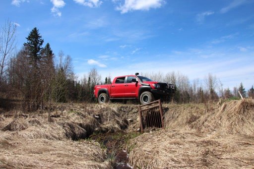
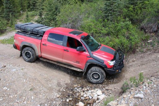
2013 Tundra "Clifford" Build & Adventures

  • HTML tutorial

dblack

Rank V
Launch Member

Pathfinder I

2,484
Sherwood Park, AB
Member #

3725

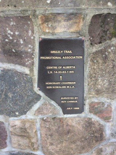
The geographic center of Alberta is north of Fort Assiniboine, AB 23km give or take, and 3 km or so west into the bush off the Grizzly Highway. I had heard that there's a plaque, and it's not easy to get to in a truck... Sounds like fun to me. I know it's pretty muddy in the summer so I figured I'd better do it in the spring before the thaw.

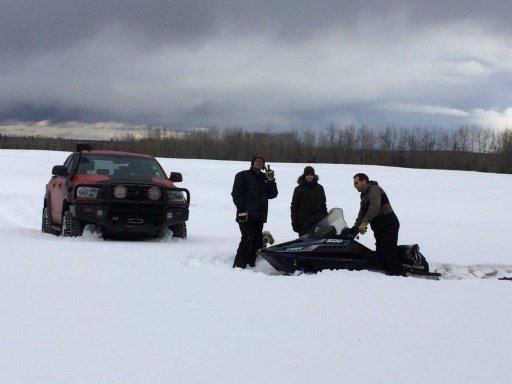
I loaded up the Black expedition crew (A couple of brothers, my oldest boy and a dog) and headed out last Sunday.

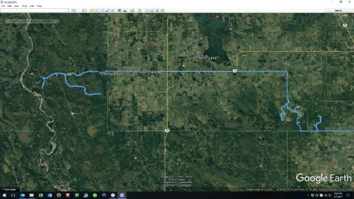
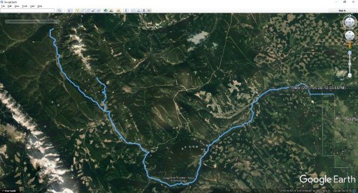
Route Map:
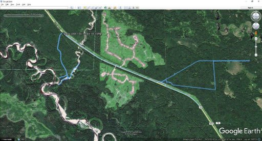
Center route.jpg

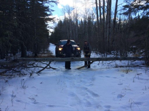
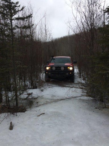
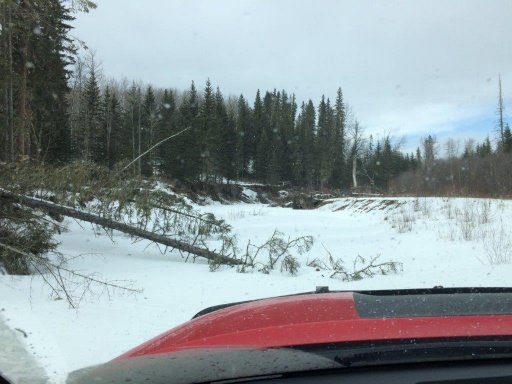
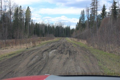
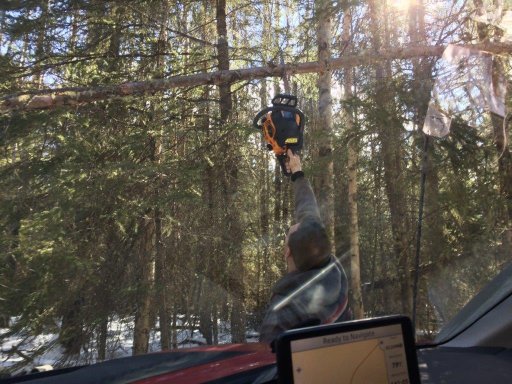
Immediately we ran into some dead fall, but I was prepared. Just send a brother out with a chainsaw, and the tress start falling!
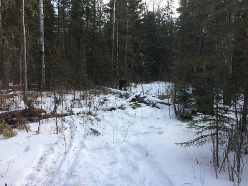
COA 1.jpg

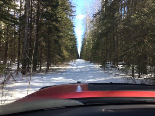
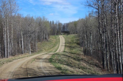
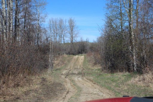
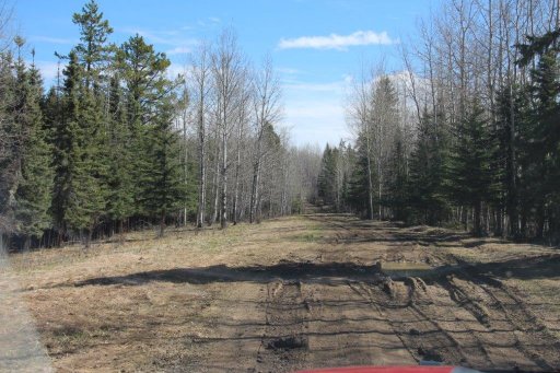
We got through the first 2 or 3 large trees slowly, but it opened up after that. Even saw the odd sign that showed we're on the right path.
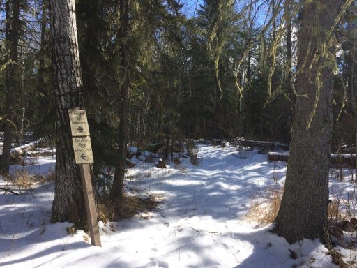
COA 2.jpg

A little bit more clearing. Safety first!
COA 3.jpg
Wide open for a ways
COA 4.jpg
COA 5.jpg
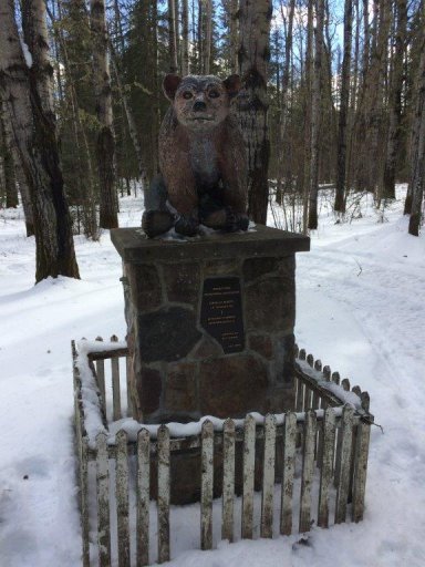
Took about an hour and a half to get into the center where we found the grizzly statue. I swear Ken Kowalski has his name on 90% of the provincial landmarks in the country.
COA 6.jpg
COA 7.jpg
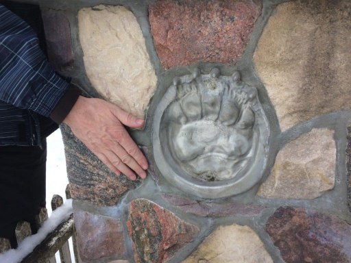
And on the base a cast of a grizzly paw.
COA 8.jpg
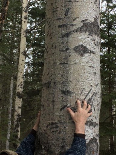
Saw some other bear sign on the way out. Looks like bear/s had been climbing a group of trees close to the trail. Maybe the view is better up there.
COA 9.jpg

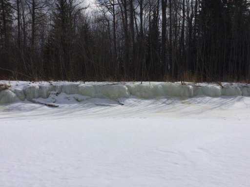
Also went down to see the Morse river, where it hits the Freeman River.
COA 10.jpg
COA 11.jpg
COA 12.jpg
COA 13.jpg

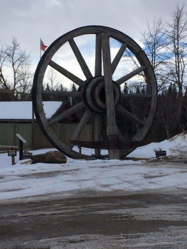
After that headed into Fort Assiniboine to see the giant wagon wheel and pick axe. I was hoping to see a big dirty hoe, but no luck.
COA 14.jpg
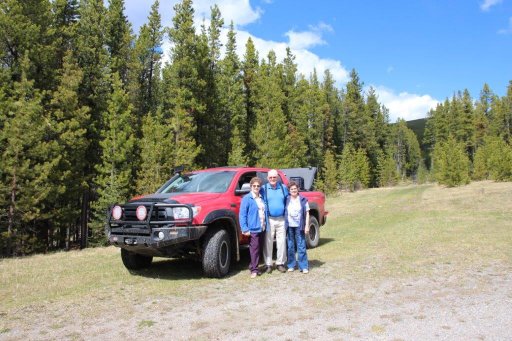
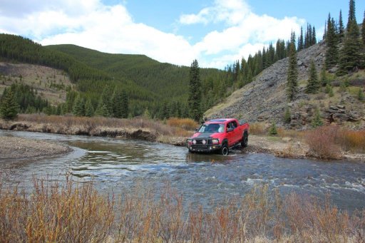
The crew!
COA 15.jpg
 

dblack

Rank V
Launch Member

Pathfinder I

2,484
Sherwood Park, AB
Member #

3725

Changed out the bfgoodrich ko2 for a slightly larger toyo open country at2 extreme. 285/75r17.

34" tire and that's about as big as I can get without some creative trimming. I get just a hair of touch against the mud flaps on a hard turn, but not enough to worry about.

Everyone else seems to love the ko2's but mine didn't balance worth a damn after about 50,000km. Hopefully I'm just lucky, but these open country's should be ok. Time will tell.


dblack

Rank V
Launch Member

Pathfinder I

2,484
Sherwood Park, AB
Member #

3725

Also cobbled up a little water system. For lack of a better term.

2 blue scepter water cans, some fittings and a hose. Voila. Gravity feed water for a family of 5. Should last a week or so depending on use.


Graeman

Rank V
Launch Member

Off-Road Ranger I

2,876
Catalina Avenue, Tucson, AZ, USA
First Name
Todd
Last Name
Hoffmaster
Member #

4284

Ham/GMRS Callsign
KJ7CRJ
Service Branch
Air Force
I am guessing that where you live the water jugs are only used 4 weeks out of the year due to freezing temperatures. Another idea for air valves is to use tire stems and pull out the cores. Put the caps on when driving and it won't spill out any water, stop to camp and just unscrew the caps. Great build..
 
  • Like
Reactions: 15Canyon and dblack

dblack

Rank V
Launch Member

Pathfinder I

2,484
Sherwood Park, AB
Member #

3725

I am guessing that where you live the water jugs are only used 4 weeks out of the year due to freezing temperatures. Another idea for air valves is to use tire stems and pull out the cores. Put the caps on when driving and it won't spill out any water, stop to camp and just unscrew the caps. Great build..
Heh heh. Well it's not THAT bad. But you're sadly not far off. [emoji57]

Good point about the valve stems. I hadn't thought of that. Maybe next time.
 

dblack

Rank V
Launch Member

Pathfinder I

2,484
Sherwood Park, AB
Member #

3725

Headed out for a day cruise to the Limestone Mt. Area in Southern Alberta with my parents, and an Aunt. Together they're pushing 240 years of experience. :-0
1.jpg 1.5.JPG

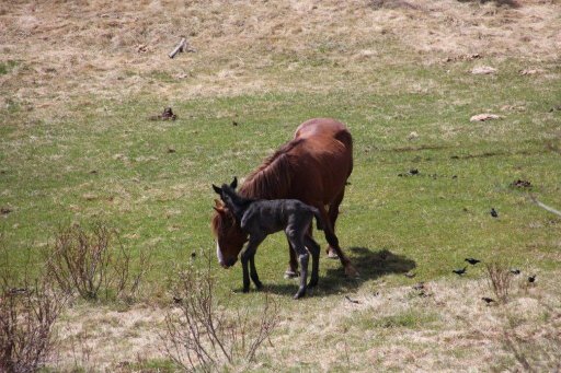
Saw some wild ponies in the area. 2 different herds, and a VERY new born. Cute little guy could barely stand on his own.
2.JPG
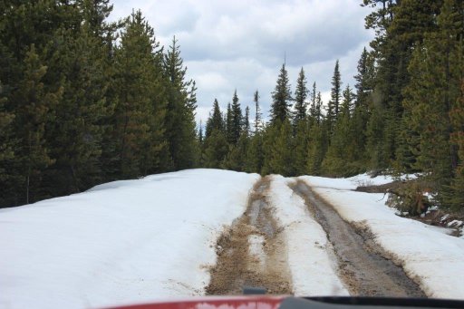
Was making good time up Limestone Mt. when we started to hit some snow. Elevation about 2000m.
3.JPG
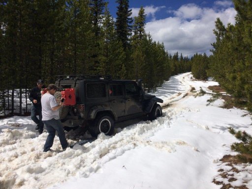
The progress came to a halt with a trail obstacle. Some nice jeeper guys that were having some troubles. I Helped this guy out a little with some shoveling and pushing. He had slid off the tracks and had a devil of a time getting straight.

4.jpg

The black jeep got up the hill over the next rise when he slid off the trail again. Trying to follow Side by side tracks in the snow was not working out for him and the snow was only getting deeper.

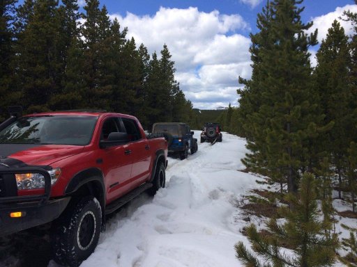
The black jeep in the front was up to his doors in snow, so the blue jeep behind him rolled his winch out to pull him out... No go. Didn't have enough battery to run the winch. Plus the housing of the winch was cracked, and smoking for some bad reason... Apparently these things don't work so good once he let the smoke out. Oops.

No problem, I turned around in the trail, backed in, and pulled them both up the hill a little bit. Sometimes Clifford being a little fat and heavy on the trails comes in handy.
5.jpg


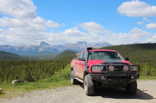
It was clear I wasn't going to make Limestone summit, so I went to see another area to the north that's been on my radar. I wanted to see a cross country exit and see if I could fit a truck through it, and hit a different peak to the north of Limestone.

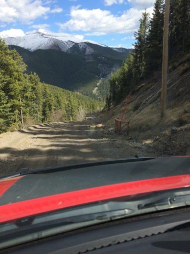
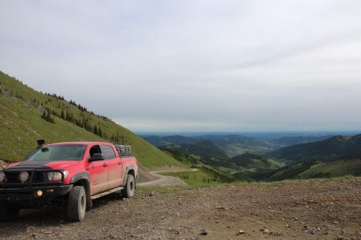
This is Limestone from the north, and the road is a 25% grade. Too much fun. :)
6.jpg

Nice views up there too.
7.JPG 8.JPG 9.JPG

The North exit of that valley will have some water crossings and the water is pretty high now, but not too bad. I think it's very doable in the summer.

10.JPG

Next time I'll check to see where this goes. Closed off road but on the maps looks like it heads into another valley west of Limestone. They took the bridges out, but left the road... Challenge accepted.
Next!.JPG
 

dblack

Rank V
Launch Member

Pathfinder I

2,484
Sherwood Park, AB
Member #

3725

After tearing a mudflap off a couple times I tweaked the tie back to a double chain.


Stickers, stickers, stickers!!! Who doesn't love stickers!?!
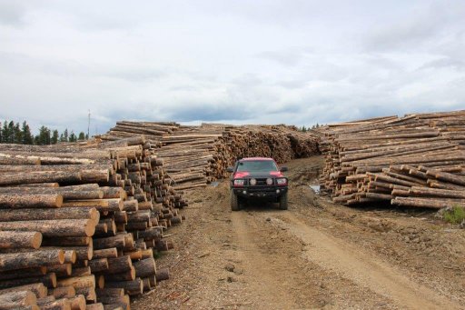
Well, I don't like stickers. But I like Canada so I'll make an exception for these. [emoji846]


dblack

Rank V
Launch Member

Pathfinder I

2,484
Sherwood Park, AB
Member #

3725

How you liking that giant wildcoast tent so far? I got their smaller sand-piper on my rig.
Say hi to the boys at DEL for me! Im actually at the Calgary branch.
I like it just fine. Doesn't leak, I had some wicked winds in Moab and the fabric held up well. No tears and no complaints.

How's yours?
 

Johnnie Canuck

Rank III
Launch Member

Advocate II

Ive had some condensation issues in cold weather. Theres me my gf and my two gooby mastiffs breathing in there tho...
Im gonna try a tent fan near the vents soon.
 

dblack

Rank V
Launch Member

Pathfinder I

2,484
Sherwood Park, AB
Member #

3725

Ive had some condensation issues in cold weather. Theres me my gf and my two gooby mastiffs breathing in there tho...
Im gonna try a tent fan near the vents soon.
I hear you. I put a masonry ventilation mat under my mattress and keep a window open. That helps a lot. But I have the same issue in my holiday trailer (tent ends).
 

dblack

Rank V
Launch Member

Pathfinder I

2,484
Sherwood Park, AB
Member #

3725

Radiation road trip!

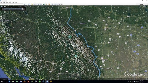
Had a bit of a bout with cancer, and ended up with some radiation the other day. As a result I had to be a minimum of 10 feet from everyone for 7 days... Shitty, but whatcha gonna do... Road trip! After a few days of letting the radiation settle and making sure things didn't go sideways I headed out solo to drive the Forestry Trunk Road (734/40) in Alberta. The Trunk road basically parallels the foothills of the Rockies in Alberta from Grande Prairie to Coleman, AB.

1200km (746Miles) give or take, I left Edmonton Sunday afternoon and was home Thursday evening. I could have traveled quicker, and spent less time screwing around in the bush, but I got to explore a lot of areas that I've wanted to spend more time in, and thoroughly enjoyed it.

Trunk road 2017.jpg

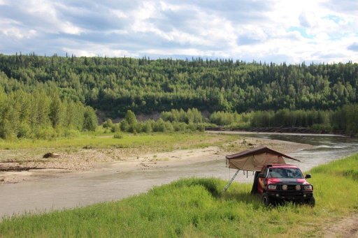
First stop Sunday was the Simonette river just south of Grande Prairie. Not very far into the trunk road, but it was a lovely little spot to camp on the edge of the river. I could have stayed in the campground across the river but... I'm cheap, and this was a nice spot. :grin:
1.JPG
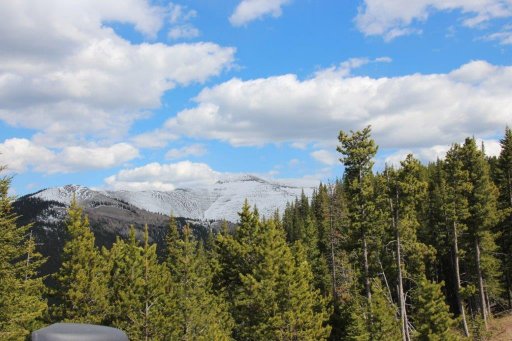
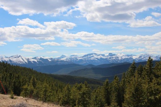
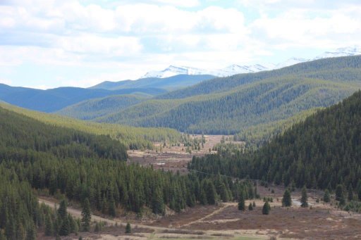
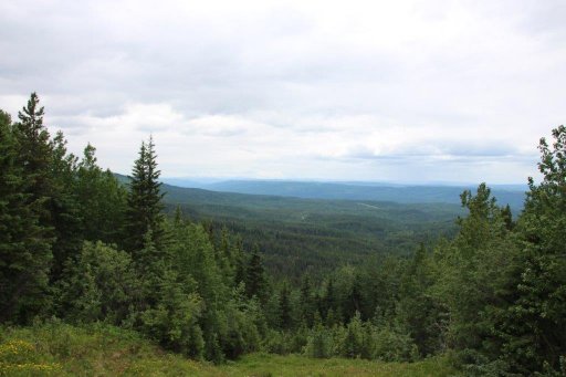
Some lovely views from the hilltops as I work my way south and west deeper into the foothills. Gradually working towards the mountains.
3.JPG
Firewood anyone?
4.JPG
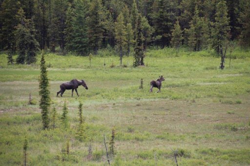
Moose... Mooses... Meese? Herd of Moose? Of course I've heard of Moose. lol I crack me up.
5.JPG
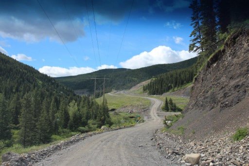
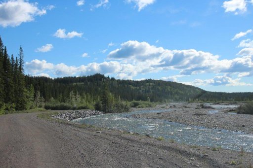
Love these long twisty one lane roads. This is day 3, south of Cadomin heading towards Cardinal Divide.
6.JPG
This valley is interesting to me because of the abandoned coal towns. Mountain Park was once 1500 people and there's nothing left but the old railroad & the cemetery.
7.JPG
Cardinal Divide
8.JPG
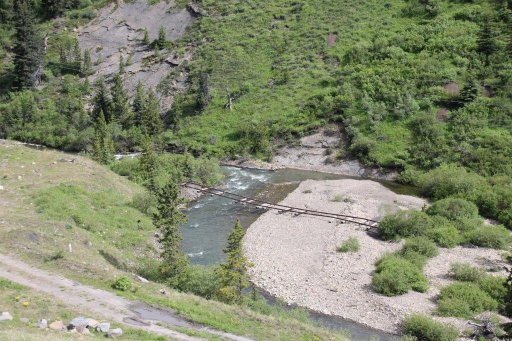
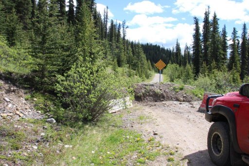
I know the Cardinal River road has been closed for a long time. I've driven it a few times on my bike and always gotten through anyway. Now it's a little tougher as they've dug a ditch into the road to stop people.
9.JPG
10.JPG
And I can see why. What was once a bit of a washout is now a complete wash away of the road.
11.JPG
Nerts. I considered hitting the gravel bank at speed, and seeing if I could just carve it like a stock car on race day... But no one was around to run the camera. No use attempting unless I can at least sell the tape and recoup the loss of my poor truck. So I had to back track a few hours, oh well. It's all in good fun.

Back through the washout was more concerning. On the way in I had all the nice winching trees in front of me. On the way out I had no recovery options. No problems though. Even stopped for a glam shot.

12.JPG
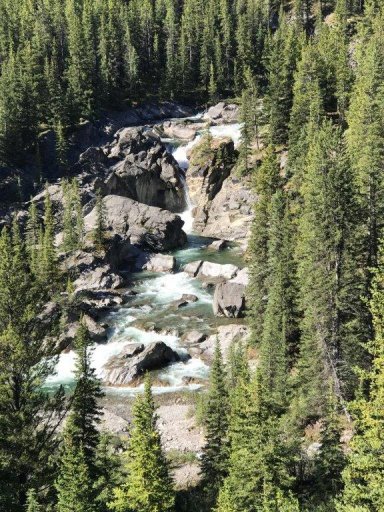
Later in the day I had some weather blow in near Humming Bird Falls.

13.JPG
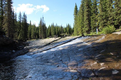
Camped for the night & saw Humming Bird falls in the morning. I've thoroughly enjoyed swimming at the top of the falls... When the water is a little lower anyway. And maybe when it's not 8 Deg C (46F).

14.jpg

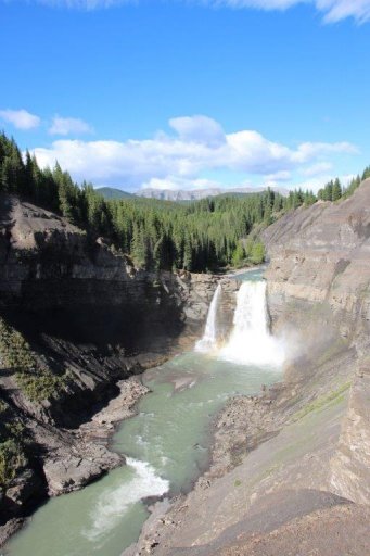
Stopped at Ram Falls as well. Very close to Humming Bird & a lovely campground.

17.JPG

Still paralleling the mountains as I'm in about the middle of the trip.
18.JPG
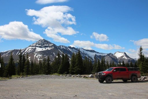
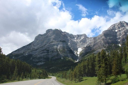
Hit pavement close to Highway 1 when secondary road 734 turned into Highway 40 for a ways as I go through Kananaskis country. I've never driven this section before & was thoroughly impressed. All the views of mountains just like from Banff, but very few people.

19.JPG
Livingstone Falls south of Highway 40, and back on the gravel again. 20.JPG

Finally hit Coleman, to turn around & head North again. I wanted to take 532 as an exit to hit highway 22. Awesome road that goes over some good high peaks.

21.JPG
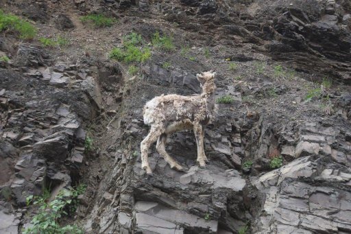
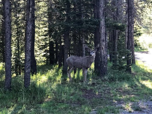
Ran into this little guy perched on the side of the road.

22.JPG
Watching him run across the cliffs was impressive.

Like I said, 1200km in 4.5 days. Nice leisurely pace and a bazillion photos. I marked some excellent biking trails and even some areas to explore in the truck. Can't wait to do it again!
 

Attachments