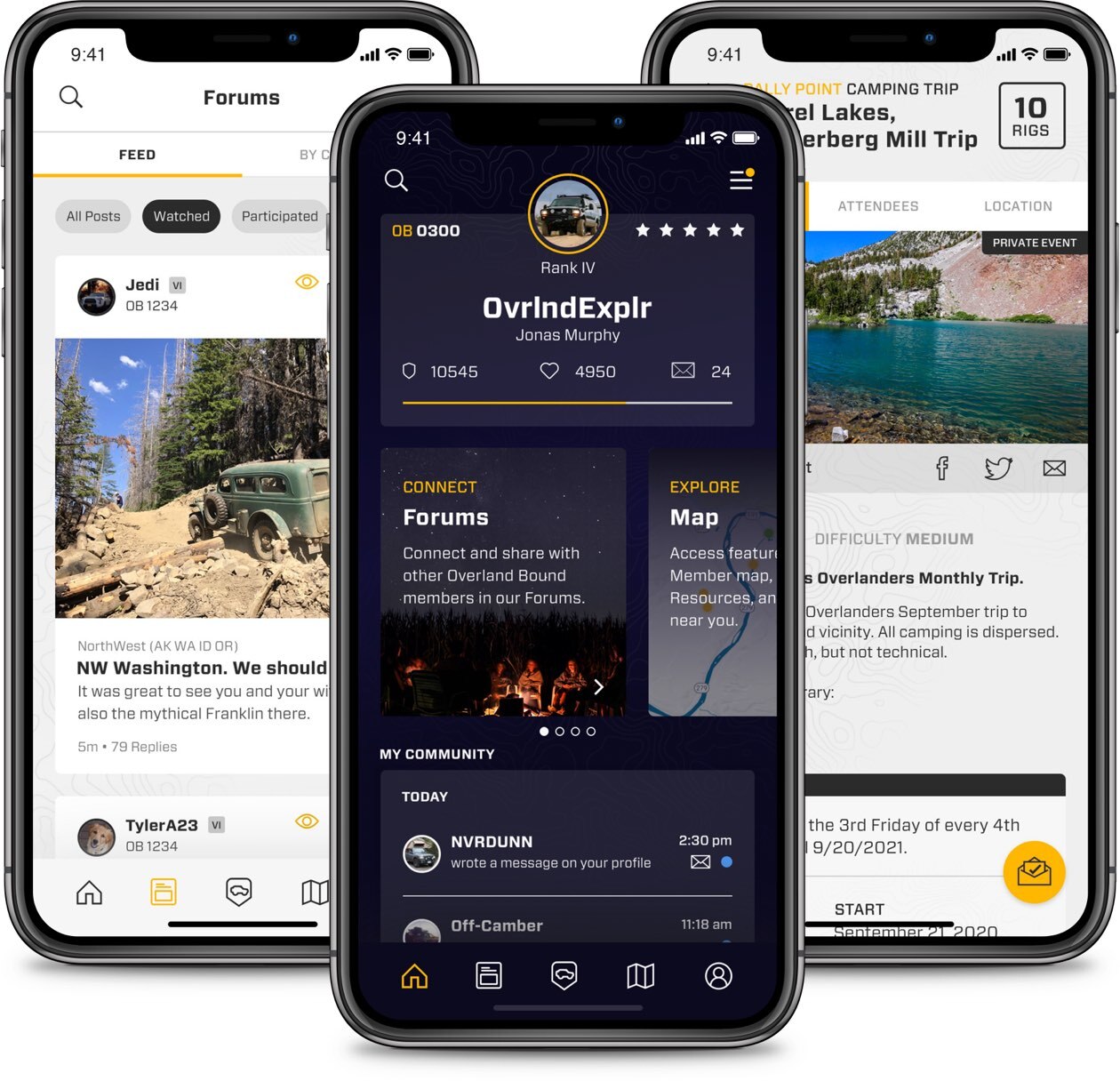
New Feature
Route Planning with Route Snapping
“I gotta hand it to you guys. It was so simple I kinda flinched, seriously… This was a MASSIVE update.” @ kunstmilch OB 29953
We released v11.12 of Overland Bound One, and response has been overwhelmingly positive. The main focus of this release is our expanded and improved Route Planning and Sharing features, and as always, a host of quality of life improvements.
Route Planning and Sharing are available with an annual Overland Bound Membership. Learn more and join here.
First, the Route Planner. After numerous conversations with OB Members and overlanders of all types, the highest priority people ID’d for a route planner was ‘Snap To’ functionality between two points.
Put simply, people wanted to tap the screen once to set a point, and then tap the screen again for where they want to go and have Overland Bound One automatically identify and highlight the route.

Change your routing mode on the fly
An added feature we implemented is the ability to choose the type of travel you’d like to take between these two points: Paved Road, Off-Road, Walking, and ‘As the Crow Flies’. You can toggle between the travel types while planning your route.
Pavement and Off-Road represent the diverse ability of an overlander to trek on both paved and unpaved roads.
The Walking toggle was created for our members who take the road less traveled so they can get to remote hiking trail heads and vistas.
As the Crow Flies serves a few purposes. It allows you to plot through an area that might not have clearly defined/marked trails, and it allows you to immediately see the distance between two spots.
As the Crow Flies is available in online or offline mode. Snap to functionality requires internet or cellular connectivity.
Create, edit, and color code your route
You can create multiple numbered pins along your path. Need to revise your route? No problem. You can delete single pins without having to lose your progress.
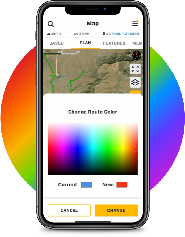
Another feature we added is the ability to custom color code your route for easy identification on your map, and for your library. An example would be orange for desert tracks, green for mountain runs, blue for hot spring trails, and purple for bucket list trips.
Share with friends and family
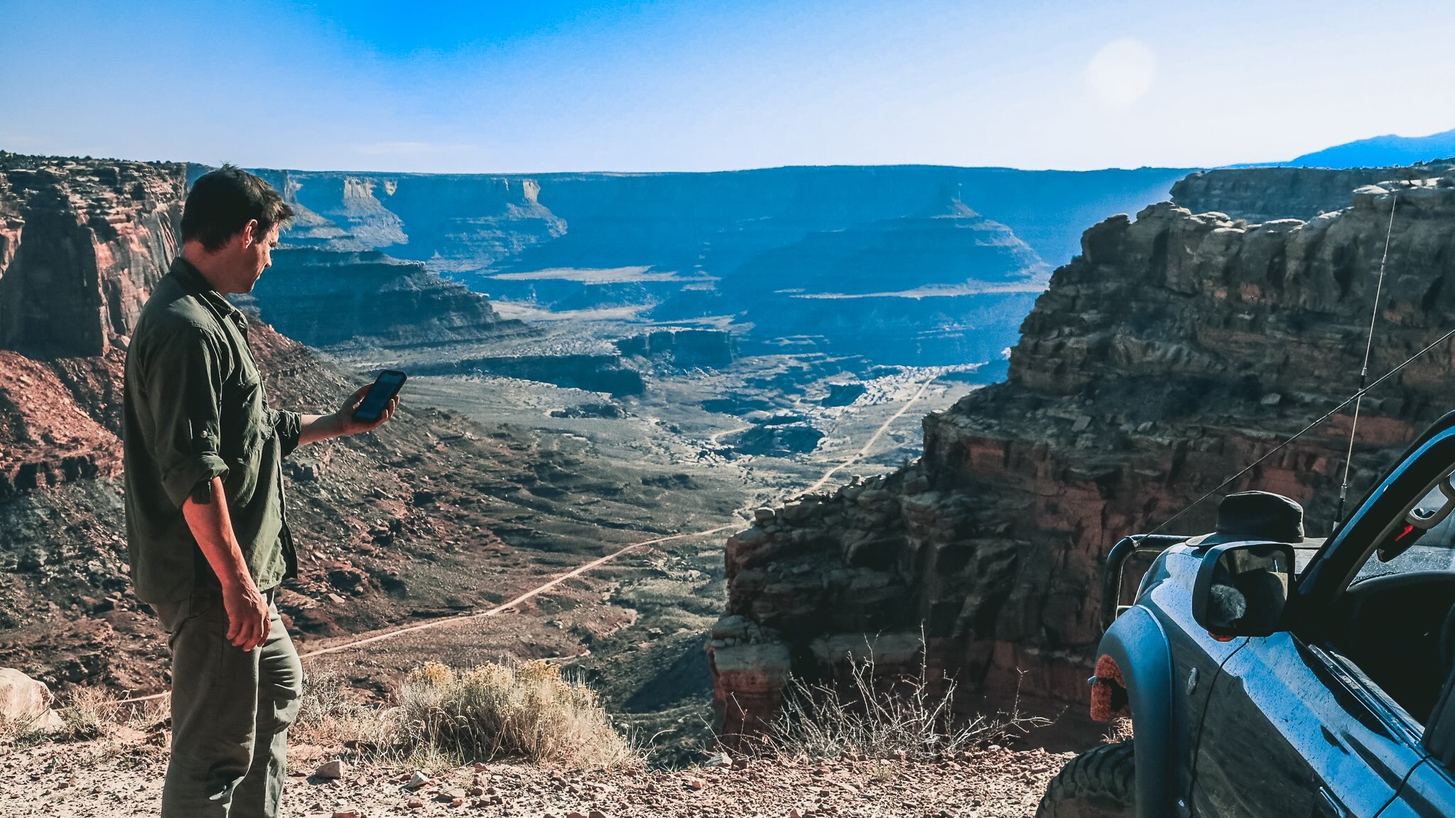
You can let people know where you’re going or share your trip with a trail buddy. Members are able to edit and customize for themselves.
Take your route with you
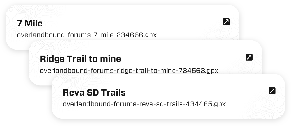
Your trip can be exported to a GPX file and shared as well. (Note: GPX files are not editable once exported out of the app.)
About this release – 11.12.0 Ironhorse
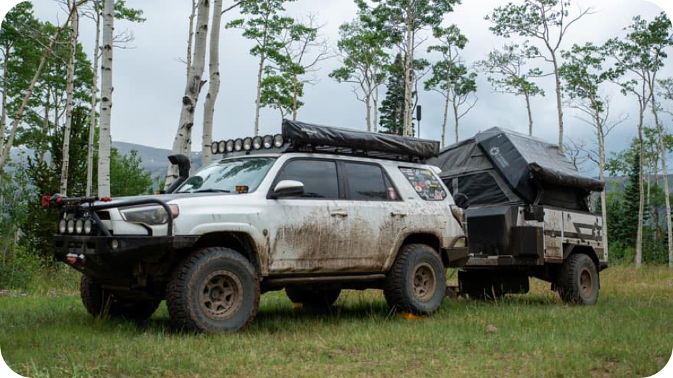
Each of our releases is named after a location or we name them after the Overland Bound member who helped shape it. Many of the features in 11.12 were tools our own Deb Lee from Iron Horse Overland requested for the full time traveling she and her husband Mike do around the country.
Mike and Deb came by Overland Bound HQ and they sat with Michael for five plus hours. She went point by point through the app to identify features and improvements she needed for more efficient and safer travel, and we documented for our dev team.
The end result of this effort is 11.12 Ironhorse, and it’s really only just beginning. Look for improvements to come fast and furious.
Overland Bound One – 11.12 Ironhorse
Full Summary
Features
- Route Planning
- Route sharing
- Save/Delete a route
- Add “never sleep” option to settings
Improvements
- Pop Up when selecting “Off-Road” routing mode – first time
- Route Planning Intro Tutorial Pop-up
On Route Waypoint Edit, Show a Magnifying Glass - Route Planning: Ability to delete a waypoint that is in edit mode
- Add waypoint numbers in route planner waypoints
- Route line is under gpx tracks
- Haptic vibrate on waypoint edit mode
- Show waypoints on saved routes
- Change Route banner color to blue
- Edit Route Button
- Disable share for quick saves
- Share Route as GPX Button
- Remove privacy for Routes – they are private by default
- Privacy notification the first time a shared Route is opened by a user
- Create “Delete Account” button in settings
- Add Route Planning Icon to POI type
- Filter Route location type client side to not show up in Add Location list
- In the change color picker screen, change button text to “Change color”
- Quick-Saves do not show saved trail color in Detail screen map
- Clean up Map and GPX button spacing in POI location detail screens
- Make the Route color swatch tappable to edit color
- Allow app font icons to be used for information types
- Disable (or hide) Reviews in Private Routes
Tasks
- New POI Location Type “Route”
- Create Route Icon
Bug
- Bad Platform Redirect: Rally Point Announcement comments button
- w3w Lookup Crashing
- App is not “locking” conversations to replies on Rally Point invite conversations.
- Editing Rally Point Dates switches it to day of month rather than day of week.
- Dark mode mile and kilometer button font color
- Editing the start date of a rally point crashes the app iOS 15.5, Latest app ver
- Fix default repeat mode when CREATING rally point
- Messages don’t find user, event though they exist
- Sending message to user that is not found results in white screen
- Pasting a YouTube link hard crash in forums
- Opening the Member tab on the map crashes the app
- Tapping the Message Members button on the Member tab crashes app
Overlanding at your fingertips
The essential app for overland adventure, Overland Bound One provides trails, resources, community support, and trip planning tools for those seeking adventure.
Download the app and join a global community of adventure seeking overlanders. Available for both iOS and Android.
