

Pathfinder III
- 5,200
- First Name
- Kent
- Last Name
- Reynolds
- Member #
-
1632
- Ham/GMRS Callsign
- K6KNT
- Service Branch
- Retired Firefighter
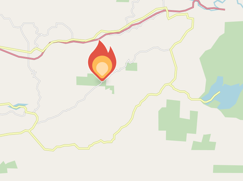
Most navigation apps have some sort of wildland fire overlay and they are fairly accurate for size and location. What those overlays dont have is detailed information about a fire, and detailed information is valuable when trying to navigate around the danger.
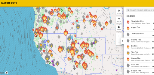
The non profit Watch Duty developed an app that has all the details and links you will need to stay out of harms way while traveling in wildfire areas. This app is free for the basic info and has a small cost for enhanced data.
For those fire professionals that rely resources like; Federal Interagency Coordination Centers, State Agencies and Wild Cad to name a few, Watch Duty uses all of these plus more. No need to pull over and look up data from several sights in order to steer around an event.
Give it a try, you will find it to be a very helpful addition to your tool box.
 app.watchduty.org
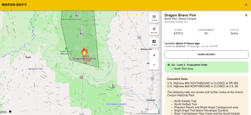
Here is a l ink to the Dragon Fire that burned down the Grand Canyon Lodge on the north rim
app.watchduty.org
The non profit Watch Duty developed an app that has all the details and links you will need to stay out of harms way while traveling in wildfire areas. This app is free for the basic info and has a small cost for enhanced data.
For those fire professionals that rely resources like; Federal Interagency Coordination Centers, State Agencies and Wild Cad to name a few, Watch Duty uses all of these plus more. No need to pull over and look up data from several sights in order to steer around an event.
Give it a try, you will find it to be a very helpful addition to your tool box.
Watch Duty - Wildfire Maps & Alerts
Real-time information about wildfire and firefighting efforts nearby
Here is a l ink to the Dragon Fire that burned down the Grand Canyon Lodge on the north rim
Watch Duty - Wildfire Maps & Alerts
Real-time information about wildfire and firefighting efforts nearby


